About the St. Olavsleden

country
Sweden, Norway
length
580 km(360 mi)
Type of trail
Pilgrimage, Long-distance
difficulty

Difficulty is highly personal. Be aware of the weather conditions as bad weather turns easier trails in difficult trails especially in the mountains.

Moderate
accommodation

Lodging means a mix of hotels, hostels or AirBnB’s.

Mountain huts, Camping, Lodging, Wild camping
Elevation gain
16700 m(54790 ft)
terrain
Mountains, Countryside, Forest, Hills
remoteness
Some of the time
Show more

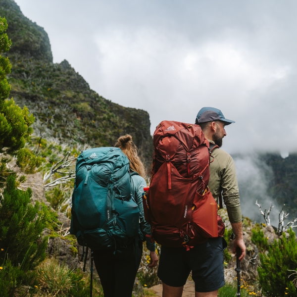
Hiking is the most popular way to experience the St. Olavsleden trail. The trail is over 600 kilometers, from Selånger in Sweden to Trondheim in Norway. Depending on your pace and type of hiking, it generally takes about four weeks to complete the entire trail. However, many pilgrims choose to walk only sections of the route at a time, returning each year to continue from where they left off.

Some of us combine walking with other forms of transport, like trains, while others tackle the whole trail in one go. There is no right or wrong in how you choose to walk the St. Olavsleden, this is a great example of a time when you will “hike your own hike.”

Henk Jan profile picture
Author

Henk-Jan Kienhuis

Henk-Jan was born in the Netherlands and has been hiking from a young age. He walks a lot in the Netherlands, including day and long-distance walks. A few times a year he walks for a long weekend with friends. For a couple of years, he walked long distances in Germany, the Netherlands, and Belgium. In 2024 he walked the S;t Olavsleden in Sweden. You can follow Henk-Jan on Instagram @henkjankienhuis.

View profile

The Trail

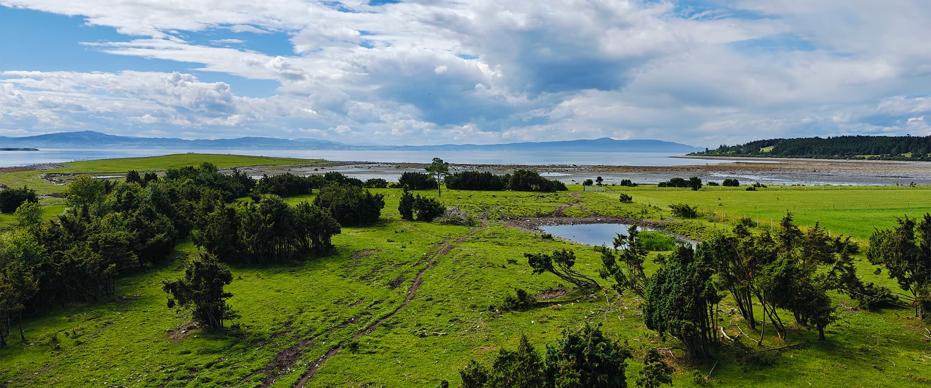
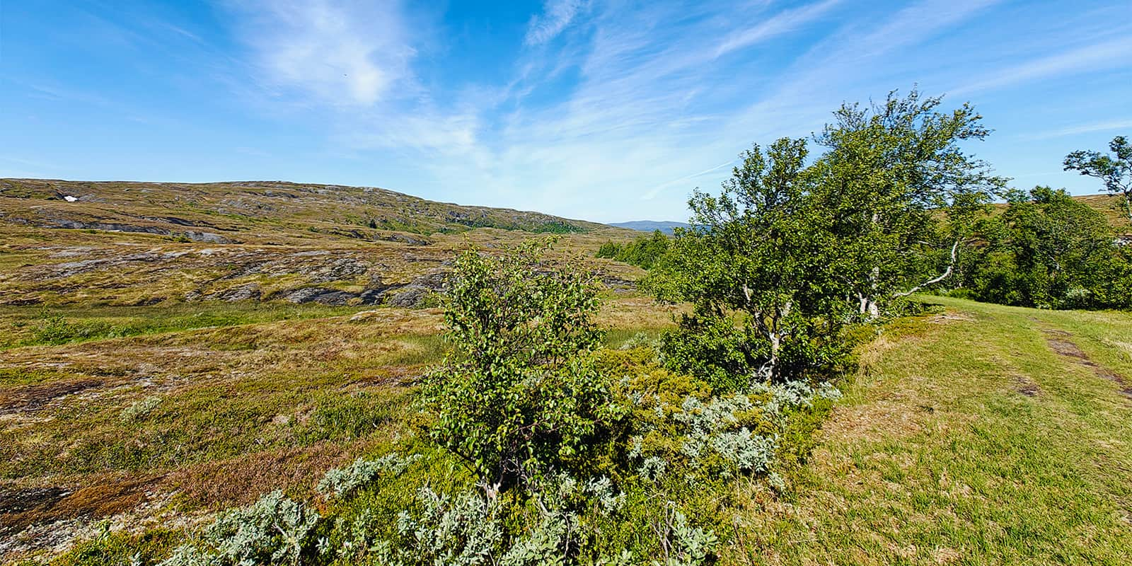
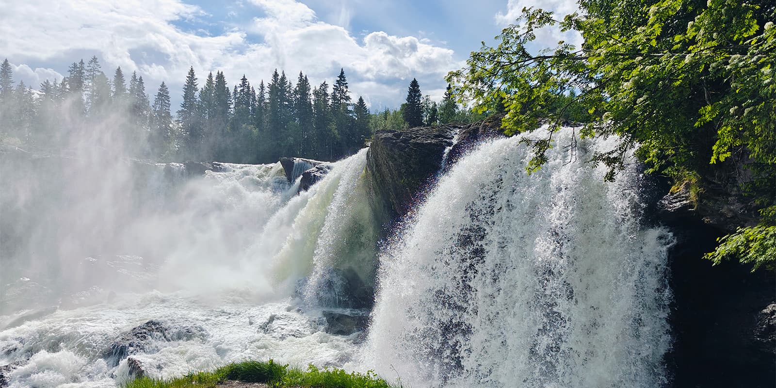
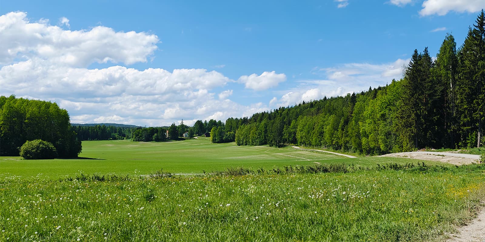
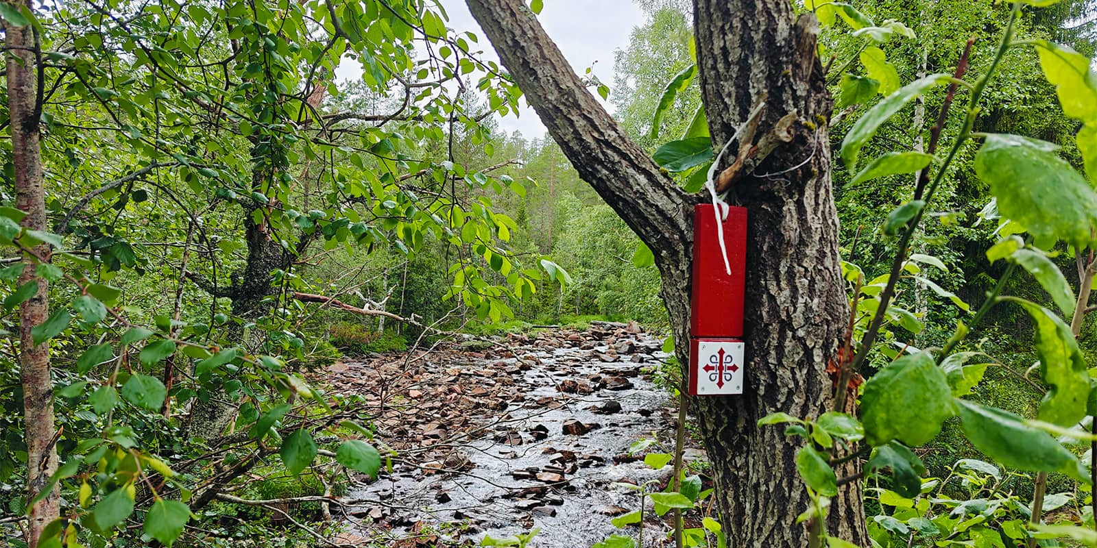
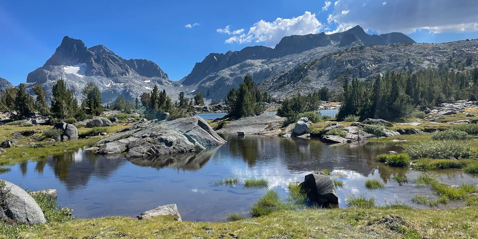
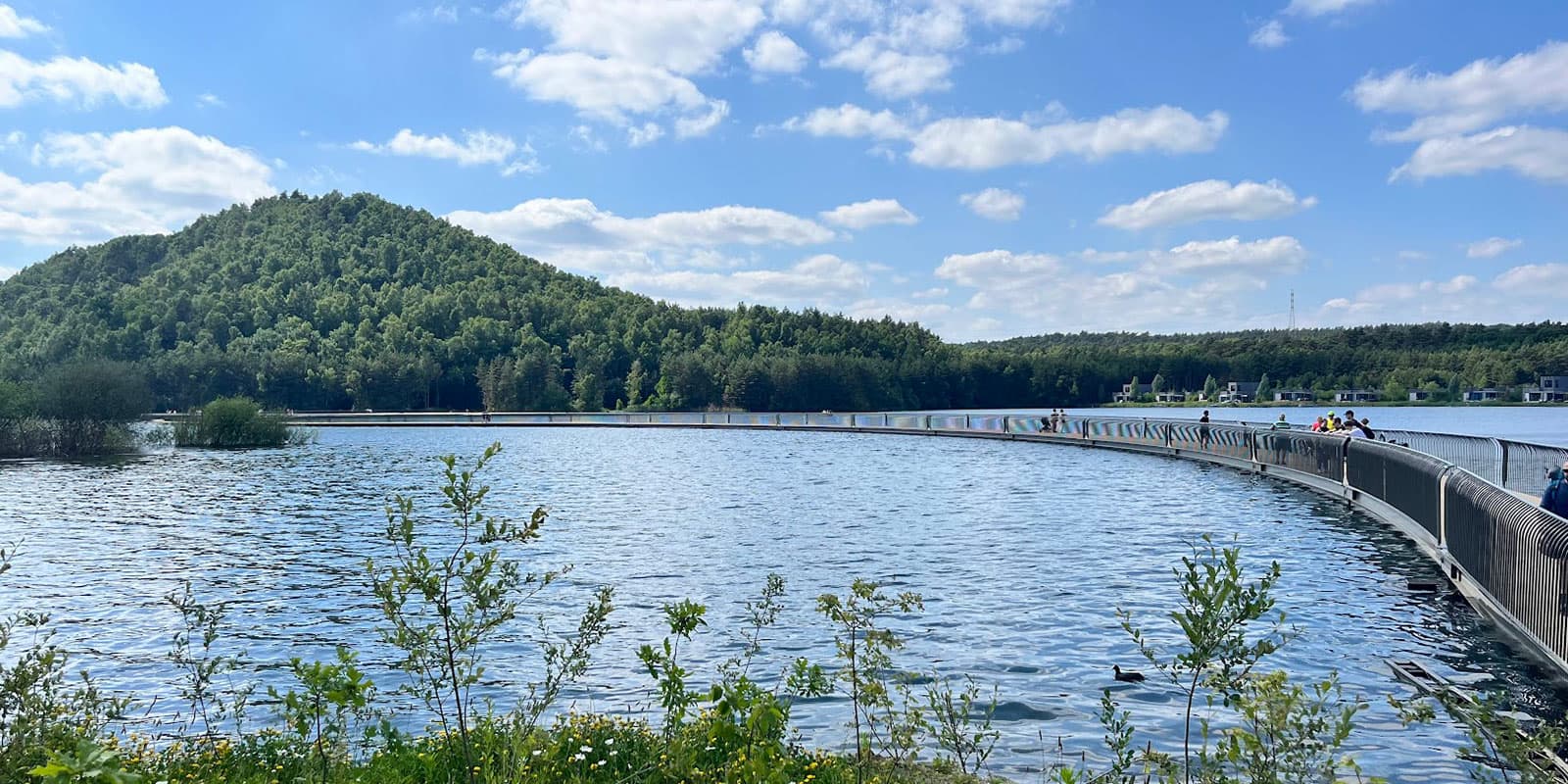
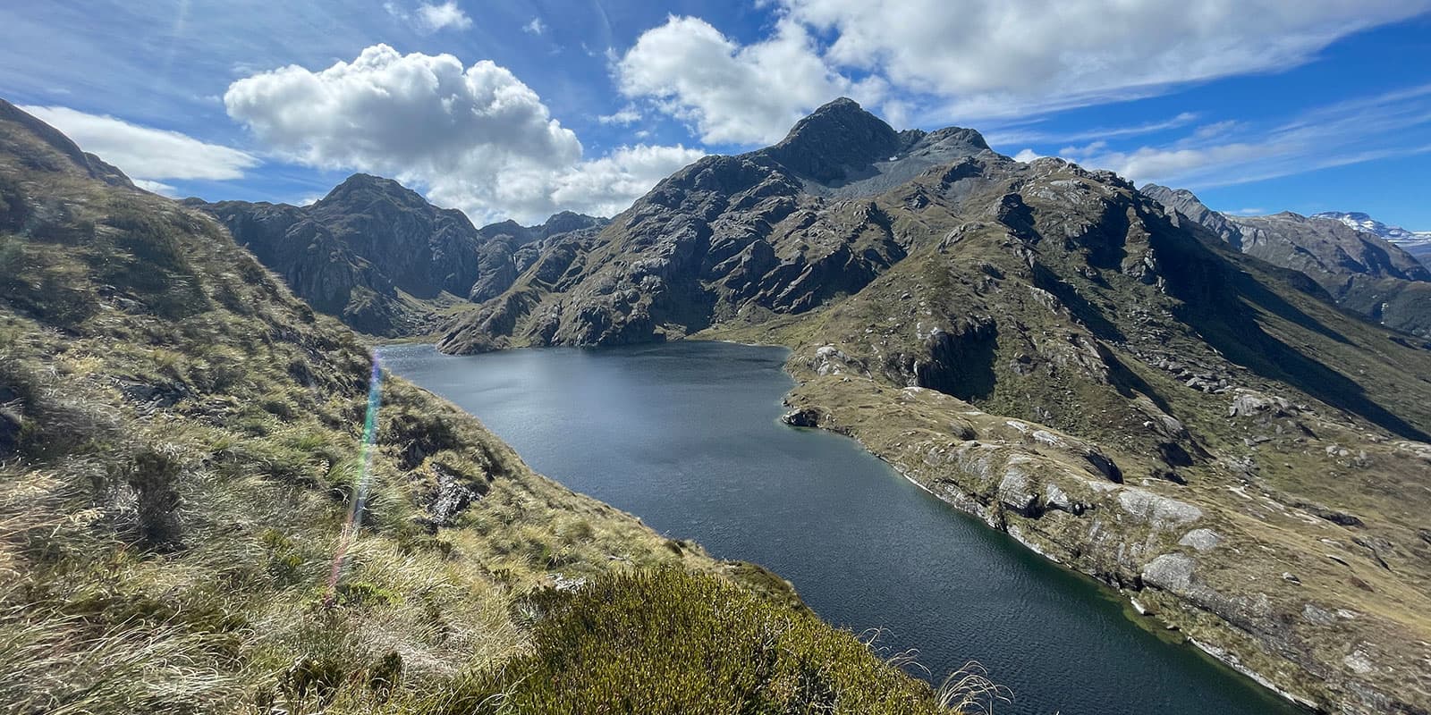
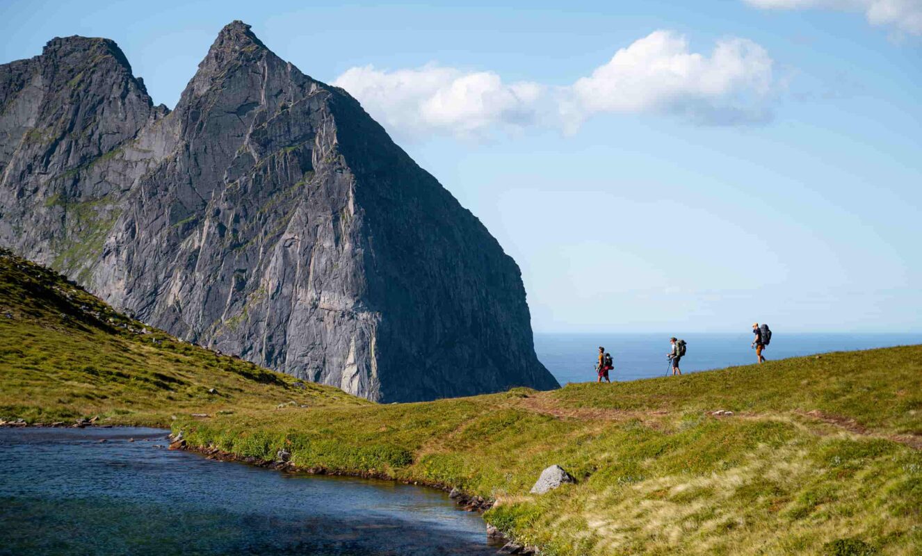
One of the great advantages of hiking the St. Olavsleden is the diversity of landscapes you will encounter along the way. From dense forests and tranquil lakes to open fields and mountains, the trail offers a wide variety of beautiful scenery. As you make your way through rural villages and historical landmarks, you will not only experience nature but also immerse yourself in the local culture and history. The entire trail is well-marked, making it easy to navigate, so you can focus on enjoying the journey without worrying about getting lost.

The trail is divided into several different types of paths and roads. Approximately 45% of the route follows gravel roads, making for a relatively easy walk. About 36% of the trail is on asphalt, which might be less comfortable for some hikers, but these sections are often where you will pass through villages and towns, providing opportunities to rest and resupply. The remaining 19% consists of trails through forests, fields, and more remote areas. The variation in trail surfaces means that you will encounter different challenges along the way, but it also means that the journey never becomes monotonous.

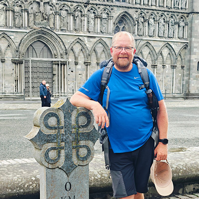
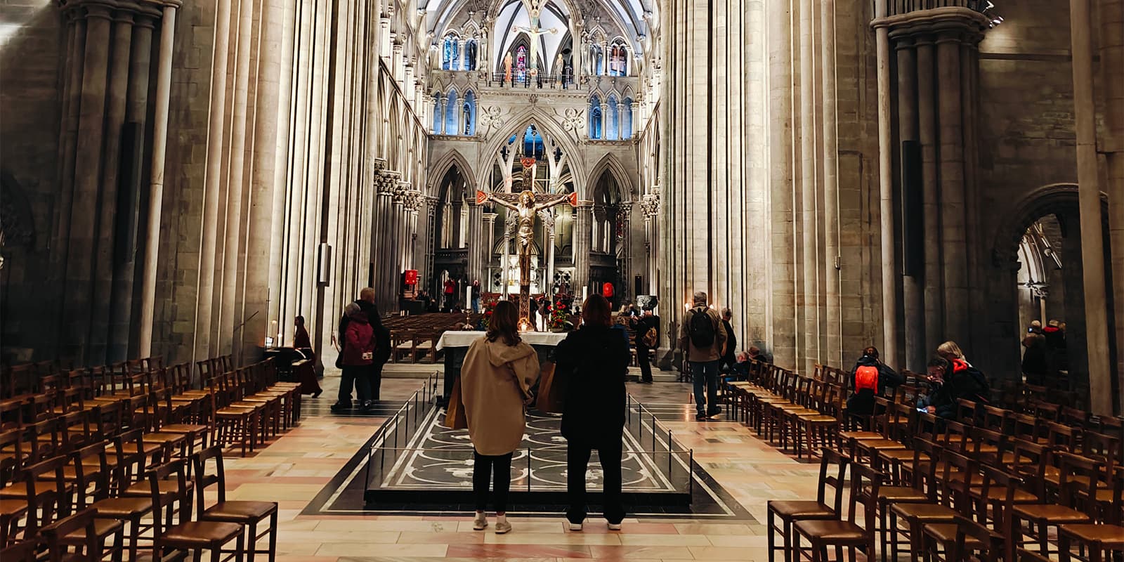
One of the highlights of walking the St. Olavsleden is the sense of pilgrimage. The trail follows the path that many pilgrims walked to reach the Nidaros Cathedral in Trondheim, where the remains of St. Olav are buried. Although the trail has a rich religious history, it attracts people of all beliefs today.

Hiking the St. Olavsleden is a flexible and accessible adventure for people of all fitness levels and preferences. Whether you choose to walk the entire trail in one go, complete it over several years, or combine it with other modes of transport, the journey is yours to define.

Stages

St. Olavsleden is divided into five main sections, covering a total of approximately 580 kilometers from Selånger in Sweden to Trondheim in Norway. Each section is further divided into multiple stages. You can find them on the official website. The accommodations along the way and the allowance for wild camping offer great freedom to adjust the routes according to your own preferences and insights.


  • Section 1: Selånger – Borgsjö, 88 km | 54.7 mi
  • Section 2: Borgsjö – Östersund, 144 km | 89.5 mi
  • Section 3: Östersund – Åre, 124 km | 77.1 mi
  • Section 4: Åre – Stiklestad, 108 km | 67.1 mi
  • Section 5: Stiklestad – Trondheim, 120 km | 74.6 mi

Accommodations

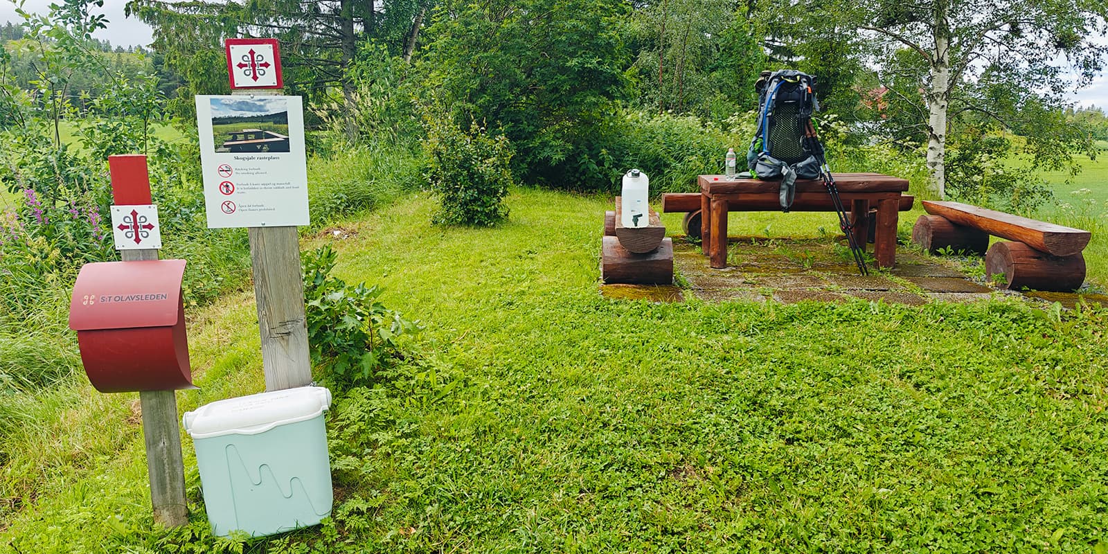
Along the way, you’ll come across a variety of accommodations, ranging from cabins to hostels, and from hotels to the option of camping anywhere under the right of public access. The accommodations are displayed on a digital map, making it easy to get in touch a day in advance or even earlier. It’s not really necessary to plan your entire journey in advance, thanks to the abundance of overnight options. For more information, check out one of the links at the bottom of this description.

Best time of the year

The trail is most accessible from mid-May through mid-September. Before and after this period, there is a high chance of snow or snow remnants on the route. Early in the season, you may encounter large swarms of mosquitoes. It is said that from late June to mid-August, the number of mosquitoes is much lower. However, the weather remains unpredictable throughout the season. Experiencing four seasons in one day is not uncommon and should not be dismissed as an exaggeration. Rain and sunshine, cold or warmth—it’s always a surprise, adding to the sense of adventure that the trail offers.

It is crucial to be well-prepared for anything, as weather conditions can change rapidly and without warning. Make sure to pack accordingly, bringing gear for both warm and cold weather, as well as protection from rain and insects. This unpredictability makes the journey exciting but also challenging, so it’s essential to stay flexible and adaptable. Be ready to adjust your plans as needed, whether that means finding shelter from unexpected storms or enjoying a sudden burst of sunshine.

Ultimately, the ever-changing conditions are part of what makes this trail so special and rewarding. Be prepared for surprises, and you’ll enjoy the adventure even more.

Safety & Gear

There are no strict safety measures required. Just use your own judgement and consider what you might need along the way. Some people choose to bring satellite beacons when hiking for so long or when hiking solo as a safety measure. Additionally, its good to bring a first aid kit and, of course, clothing for all weather conditions. A small emergency shelter can be useful as well. Safety starts with you.

Good to know

The St. Olavsleden is a beautiful route with also parts of asphalt. The route in totality is always beautiful, in the way that every route is beautiful in retrospect. See for yourself if it fits, it is not busy at all, a few pilgrims at an overnight location can occur but certainly not more than 10 in any one place.

Water can almost always be taken from the places where you sleep overnight. You can also get water from the many (fast) flowing rivers along the way. My experience is that you can also ask for water at houses along the way, I have never been refused.

route
Point to point
Highest point
2600m (8530 ft)

Want to submit a trail or make this page more complete?

Always read the disclaimer

Terms of Use: important to all visitors on this website. We strive to publish high quality content and information on this website. However it’s always possible that we’re missing out on some crucial information. In spite of the fact that this route, associated GPS track (GPX and maps) were prepared under diligent research by the specified contributor and/or contributors, the accuracy of such and judgement of the author is not guaranteed. Therefore, hiking-trails.com and contributors are in no way liable for personal injury, damage to personal property, or any other such situation that might happen to individuals hiking or following this route. Should you choose to hike this trail, this is always at your own risk. Check out our guidelines for safety hiking and Leave No Trace principles at the hiking 101 page.

Download GPX

Join the community!

Login or create a FREE account 😊

With an account you can:

Download GPX files

Pin trails to your wishlist

Mark trails as hiked by you

Rate hiking trails

Comment on trails, blogs and gear reviews

Happy trails!
Login

Don't have an account yet? Register here