About the Kungsleden

country
Sweden
length
470 km(292 mi)
Type of trail
Long-distance
difficulty

Difficulty is highly personal. Be aware of the weather conditions as bad weather turns easier trails in difficult trails especially in the mountains.

Moderate
accommodation

Lodging means a mix of hotels, hostels or AirBnB’s.

Wild camping, Camping, Mountain huts
Elevation gain
9039 m(29656 ft)
terrain
Mountains, Flat, Forest, Hills
remoteness
Most of the time
Show more

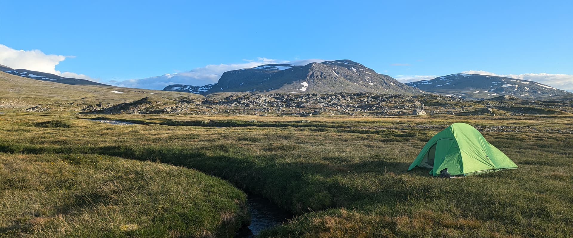
Kungsleden, or The King’s Trail in English, is an approximately 440-kilometer long-distance trail that runs through the high north of Sweden, above the polar circle between Hemavan and Abisko. Its spectacular mountain scenery and wide open landscapes attract a lot of people every year, making it one of the most popular trails in Europe.

With almost no towns on or near the trail but for some small villages and Sami settlements, the feeling of remoteness is very real. Thanks to the Swedish ‘allemansrätten,’ or the right to wild camp almost anywhere, you can enjoy the rugged and wide open surroundings to the fullest.

Debbie profile picture
Author

Debbie Vercruyssen

Debbie is a proud co-owner of a bar in the most beautiful city in the world – Ghent of course. But long days of serving people and endless small talk often take a toll on this introvert and starting to hike solo turned out to be the perfect escape from social life. The fisherman’s trail and Kungsleden have been great introductions to long(er) distance hiking. She’s thinking of stepping up her game next time to more challenging trails in Corsica or Norway, or maybe Scotland, which already has a special place in her heart.

View profile

The Trail

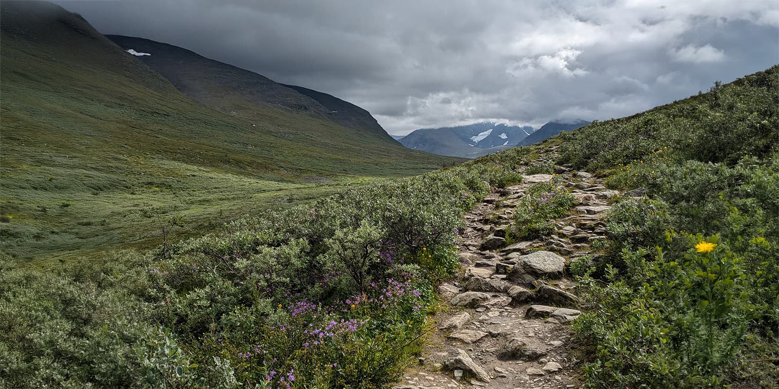
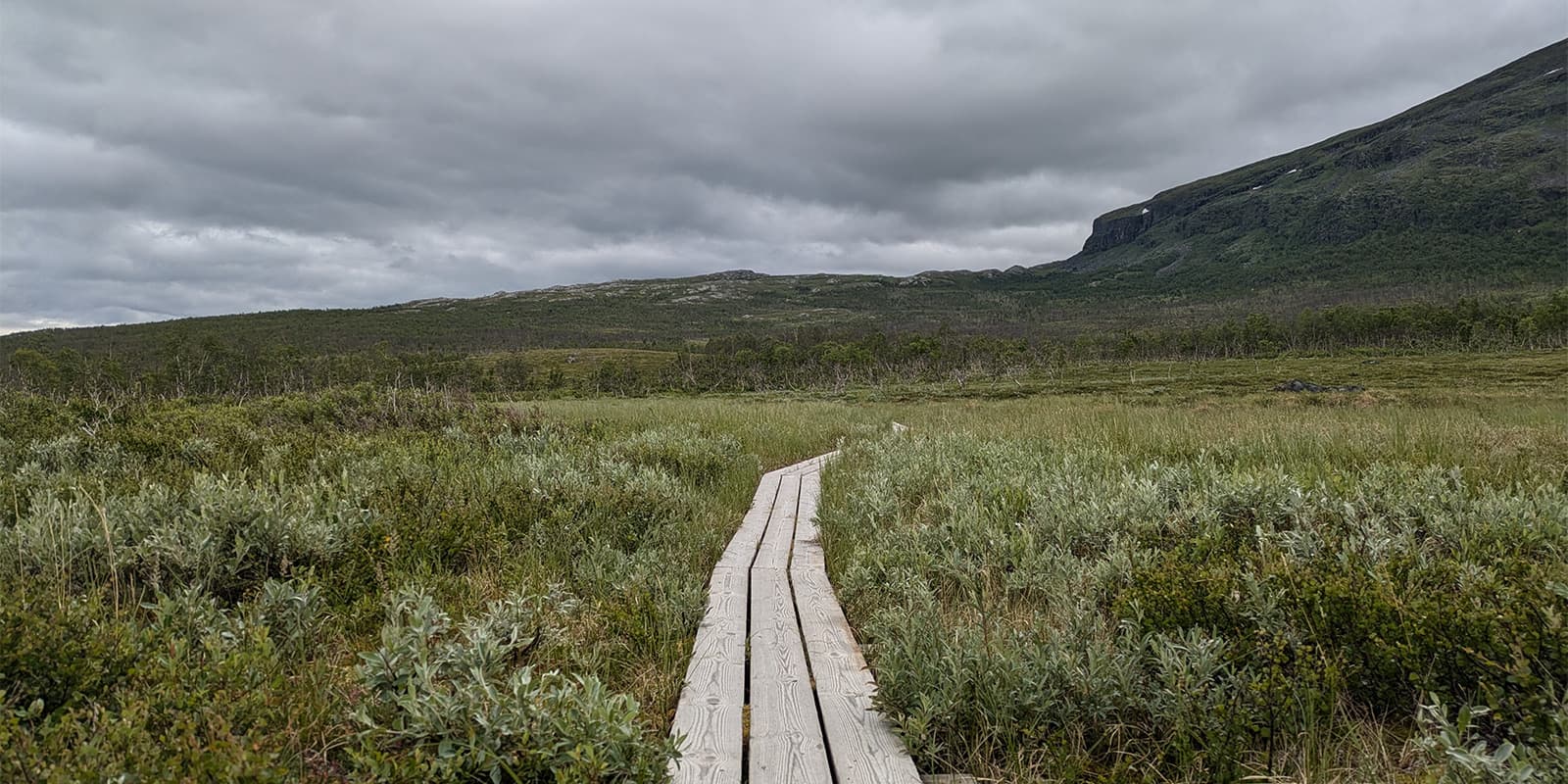
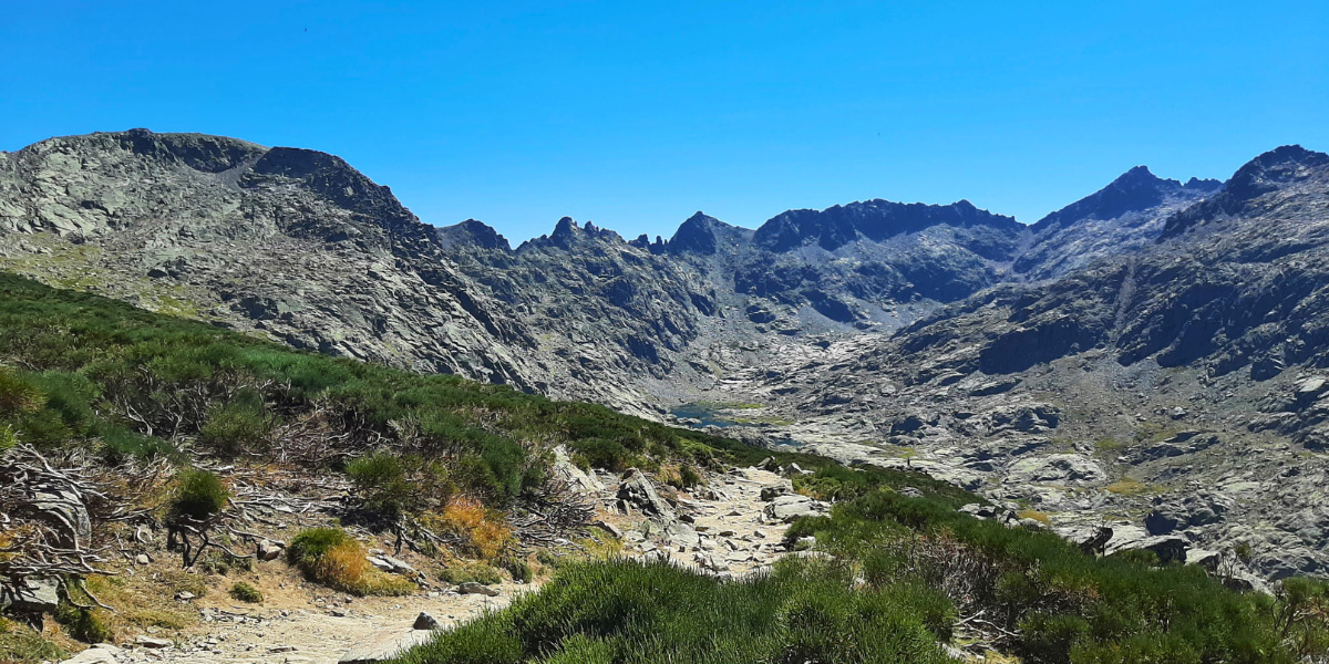
Though it runs through the arctic mountains of what is said to be one of the last pieces of wilderness in Europe, it goes mostly through the valleys so there is little elevation gain compared to real mountain treks. This makes it accessible for almost everyone in good shape and with some experience in multi-day hiking.

The biggest challenge of this hike is definitely the subarctic climate, which is very unpredictable and often rapidly changing. ‘Four seasons in one day ‘ should be the official trail tagline.

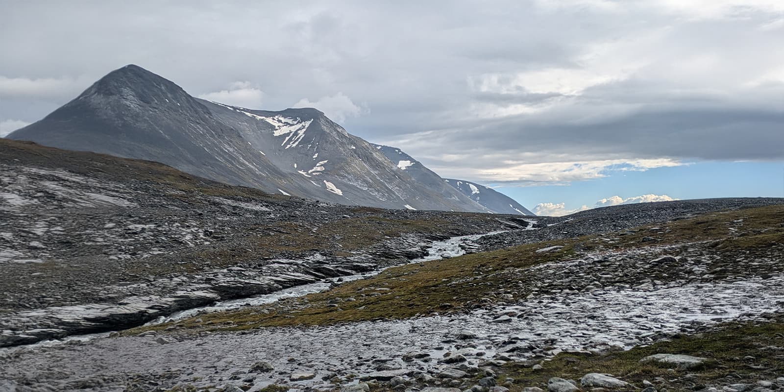
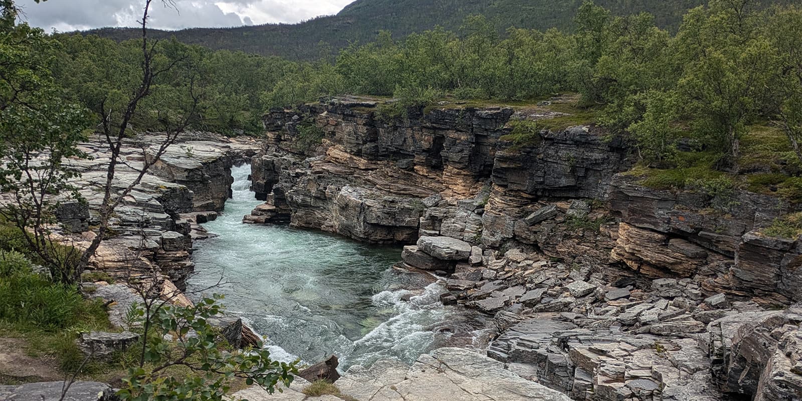
Starting from the North, the first section runs from Abisko to Singi or Nikkaluokta. You’re up to a great start through the Abisko National Park with its impressive river canyon and birch forest. The trail gradually ascends until you reach the Alesjaure Lake and get your first views of the mountains. After Alesjaure it goes up again, crossing boulder fields that sometimes feel like you’re walking on the surface of the moon until you reach the Tjäkta pass, the highest point of the whole trail.

This stage of Kungsleden is a very popular section hike because of its dramatic scenery, making this section the busiest of all. The Nikkaluokta to Singi part technically isn’t part of the official Kungsleden, but Nikkaluokta makes an ideal entry or exit point from the trail. It also runs by Kebnekaise, the highest mountain in Sweden, and climbing it is a popular addition to Kungsleden.

Next up is Singi/Nikkaluokta to Vakkotavare. At Singi you have the option to make the detour to Kebnekaise or move on directly to Vakkotavare. The landscape is barren and wild, running on and off mountain plateaus. At the Teusajaure Lake, your first of many boat crossings awaits: pull up your sleeves and row over yourself, or just pay the hut keeper to cross on the motor boat.

Thru-hikers will start the third section of Kungsleden with a bus ride to Saltoluokta, the entry point of this stage. The trail is interrupted at Vakkotavare by a road and another lake crossing. For section hikers, Saltoluokta is easily reachable from Galliväre. This definitely is a very wild section of Kungsleden, running partly through the untouched Sarek National Park, offering spectacular views of its often snow-peaked mountains. A lot of lake crossings are to be made by rowing or speed boat.

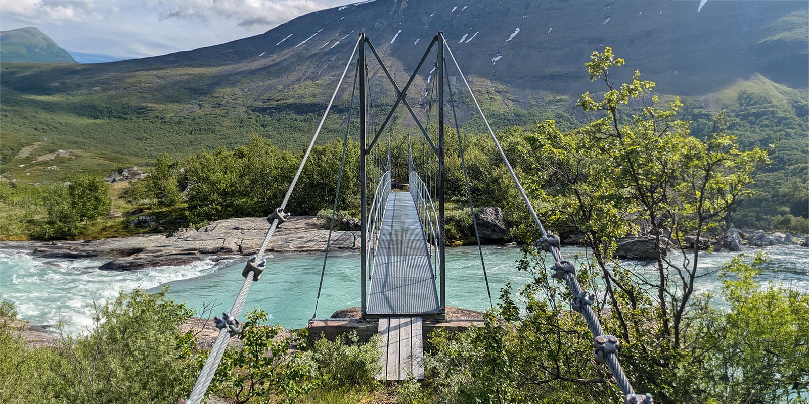
As a thru-hiker, make sure to resupply at Kvikkjokk mountain station, the end of section three, because there are no manned mountain huts on the fourth section between Kvikkjokk and  Ammarnas; camping gear is essential for this section. The remoteness and lack of huts make this a very quiet and likely the least-traveled part of the trail, almost only hiked by thru-hikers. Not all streams have bridges here, though some may have privately owned boat owners you can pay to go over. The trail goes up and down a lot, through valleys and over plateaus, making this a more challenging but at the same time a very unique section of the trail. It has views of the desolate landscape that stretches for miles and miles.

The last and southernmost section of Kungsleden runs from Ammarnäs to Hemavan. This fifth section is a lot greener, often running through long stretches of moorland and birch forest. A diverse fauna and flora characterize this part of the trail, as you cross the extraordinary Vindelfjällen nature reserve, one of the largest protected natural areas in Europe.

Stages

The trail is divided into five sections, which can all be hiked on their own, officially starting in Abisko but it can be done in every direction.


  • Section 1: Abisko – Singi 65 km + Nikkaluokta, 35 km | 21.8 mi
  • Section 2:  Singi – Vakkotavare, 71 km | 44 mi
  • Section 3: Saltoluokta – Kvikkjokk, 70 km | 43.5 mi
  • Section 4: Kvikkjokk – Ammarnäs, 165 km | 102.5 mi
  • Section 5: Ammarnäs – Hemavan, 79 km | 49 mi

Accommodations

The trail is provided with 16 mountain huts and stations. Mountain stations are the largest and they have small shops for resupply, showers, and more.

The mountain huts are a lot smaller but are cozy places to just sleep indoors and get shelter. Some of them also have a shop with a small selection of food and supplies. Tip: Lists of what is sold in the cabins can be found online on the STF website, but be aware that later in the hiking season they might run out of things. Almost all huts also have a sauna (you are in Sweden after all), and jumping into the cold mountain lakes afterwards make for a very special and highly recommended experience.

Booking your bed in the huts up front is a must in the high season and can be done on the website of the Swedish Tourist Association.

Almost all cabins are within a day’s walking from each other, but the whole trail in its entirety isn’t serviced. On the section between Kvikkjokk and Ammarnas (179 km), there are practically no huts save for some small shelters, so camping gear is necessary.

Fun fact: For a small fee, you can also just buy a day pass for the huts, just to get inside for  a few hours during the day, to warm up or cook a meal, which can feel like a real luxury if you are treated to some lovely grim weather. It’s also possible to camp next to the huts for a fee to make use of the amenities.

Best time of the year

The best time of the year to hike Kungsleden is from late spring to early autumn. Most of the huts open at the end of June, after Midsummer, and close again by mid September when the first snow will appear. Even if the weather before Midsummer seems well enough and most of the snow might have melted, don’t go: spring in these mountains is also the time when reindeer calves are born. Reindeer go down to the valleys to give birth and it is of the utmost importance that they are not disturbed by hikers during this time. The presence of people can scare them, at the risk of leaving and abandoning their calves.

High season runs from mid July to mid August, with huts being fully booked most of these weeks. Also beware of the very busy Fjällraven classic, starting somewhere around the 15th of August every year.

Those wanting to avoid the bigger crowds might consider hiking in the shoulder season, each coming with its advantages and disadvantages.

Safety & Gear

Make sure your gear is up against all kinds of weather and temperatures. They càn drop below zero at night so make sure you have a well thought out sleeping system.

If you plan on staying in the huts, only a sleeping bag or bag liner is necessary since they offer blankets and pillows. Beware of the section that lacks huts though if you plan on doing a thru hike.

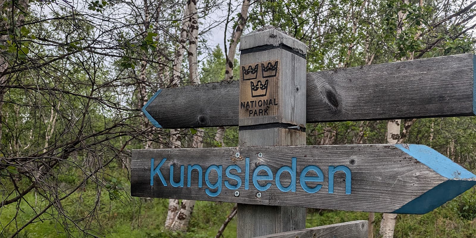
There is very little cell reception on the trail. Whilst all of the cabins are equipped with a satellite phone in case of an emergency, make sure you’re not using them for a phone call home every day. Wearing a small satellite communicator can be useful, especially for solo hikers, but is not a must with all the huts and other hikers being around. All of the trail is signposted very well, so getting lost is almost impossible.

To call the boats, there are signs on the trail marking the spots where there’s cell service to notify them you’re coming (recommended to avoid waiting times).

Good to know

If you are hiking the whole trail or planning to stay several nights in the cabins, become an STF member. As a member, you get a discount on overnight stays, booked online or on site, but also on day and camp passes.

Beware of the infamous mosquitoes and midges that are thriving in these areas from June until mid or late August. Below the tree line they can get really nasty so bring a head net and mosquito spray.

There are lakes and streams with fresh, clear water everywhere, so there is absolutely no need to carry a lot. Some people drink straight from the streams, others filter it just to be sure.

route
Point to point
highest point
1150m (3773 ft)

Want to submit a trail or make this page more complete?

Always read the disclaimer

Terms of Use: important to all visitors on this website. We strive to publish high quality content and information on this website. However it’s always possible that we’re missing out on some crucial information. In spite of the fact that this route, associated GPS track (GPX and maps) were prepared under diligent research by the specified contributor and/or contributors, the accuracy of such and judgement of the author is not guaranteed. Therefore, hiking-trails.com and contributors are in no way liable for personal injury, damage to personal property, or any other such situation that might happen to individuals hiking or following this route. Should you choose to hike this trail, this is always at your own risk. Check out our guidelines for safety hiking and Leave No Trace principles at the hiking 101 page.

Download GPX

Join the community!

Login or create a FREE account 😊

With an account you can:

Download GPX files

Pin trails to your wishlist

Mark trails as hiked by you

Rate hiking trails

Comment on trails, blogs and gear reviews

Happy trails!
Login

Don't have an account yet? Register here