About the Caminito del Rey

country
Spain
length
7.7 km(5 mi)
Type of trail
Day hike
difficulty

Difficulty is highly personal. Be aware of the weather conditions as bad weather turns easier trails in difficult trails especially in the mountains.

Moderate
accommodation

Lodging means a mix of hotels, hostels or AirBnB’s.

Lodging
Elevation gain
347 m(1138 ft)
terrain
Canyon, Mountains
remoteness
None of the time
Show more

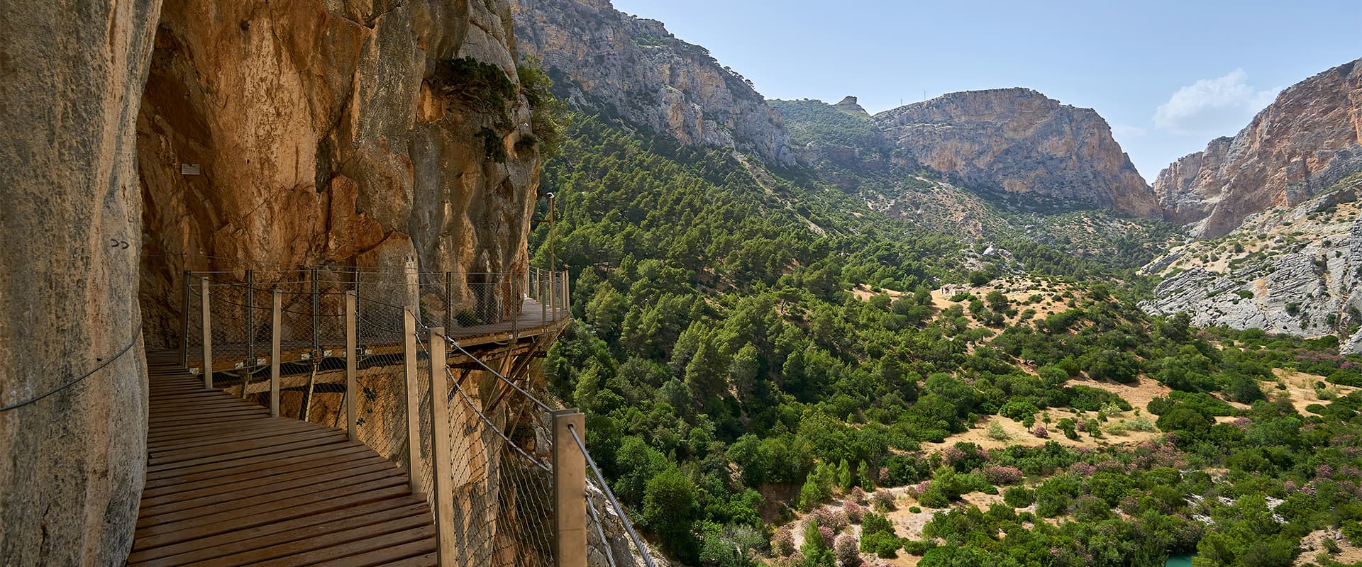
This historic and infamous hike is named after the King who opened this path in 1921 as a way for construction workers to access the nearby dam. Taking this path, crafted in the cliffs of the gorge, wasn’t without risk when it opened. It used to be known as “The walkway of death” due to over 10 fatalities occurring on the dangerous path in the early 90’s and 2000’s.

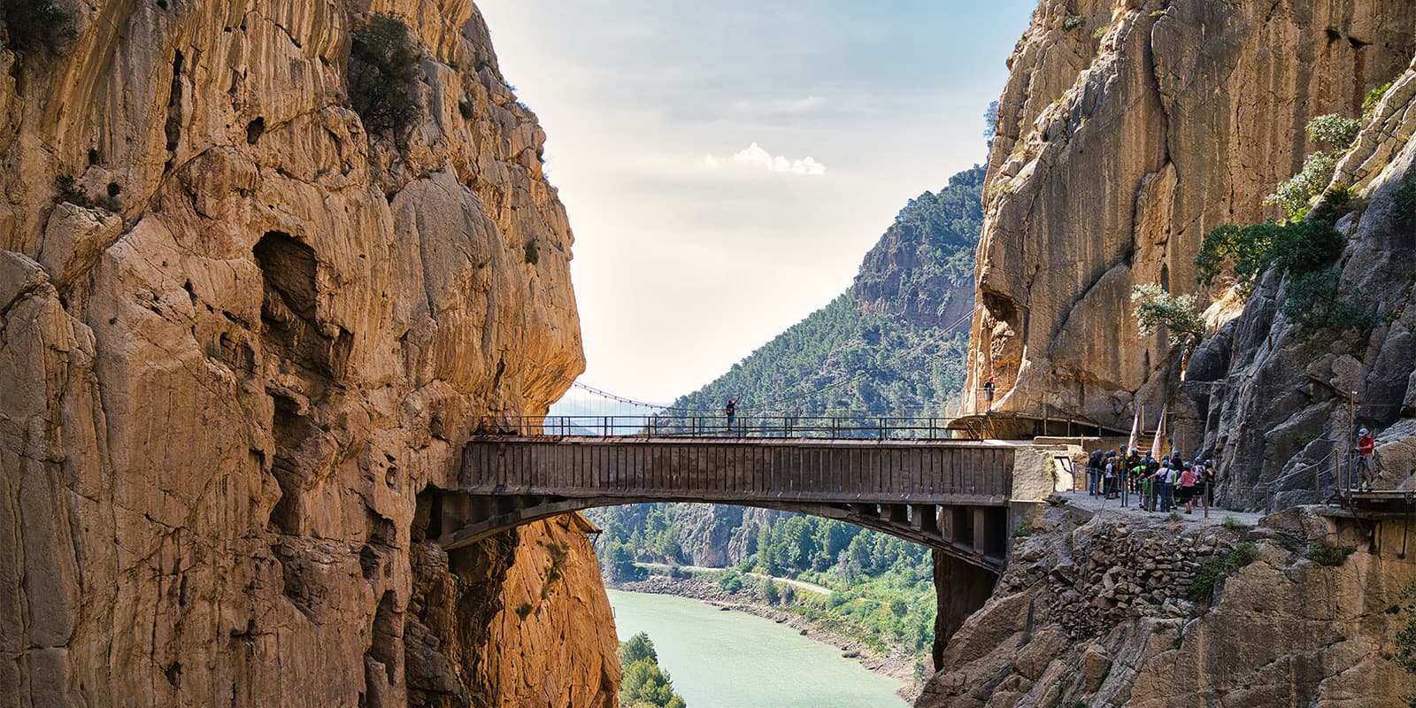
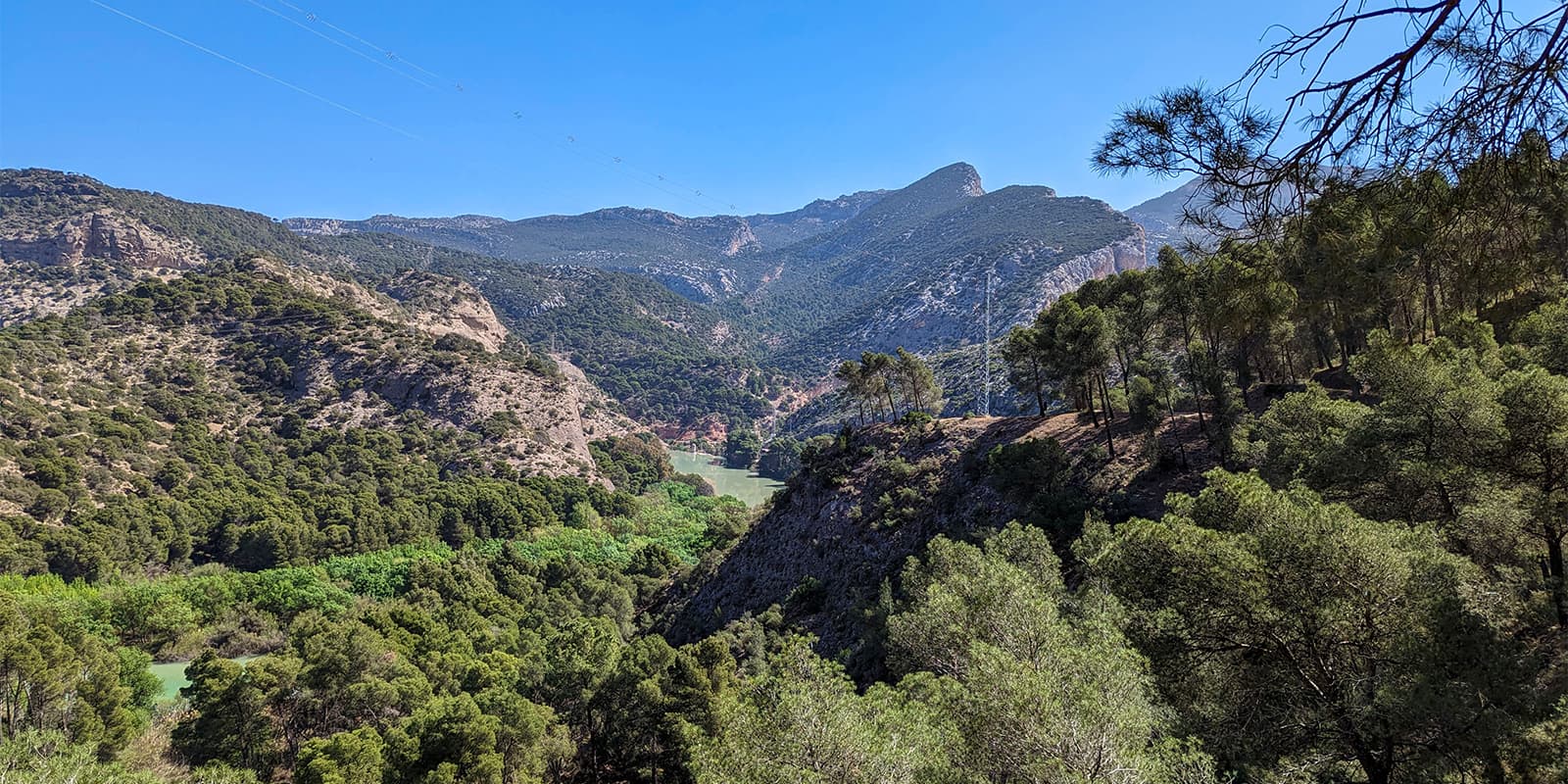
The path was closed to the public in 1992 due to safety concerns and the number of fatalities, and construction began to implement safety measures like installing “footbridges” replacing part of the original path. Nowadays, it is the most popular hike in Spain, and for a good reason! This beautiful hike takes you through the gorge with spectacular views and a beautiful stream far below you. However, it can only be accessed with a pre-booked reservation.

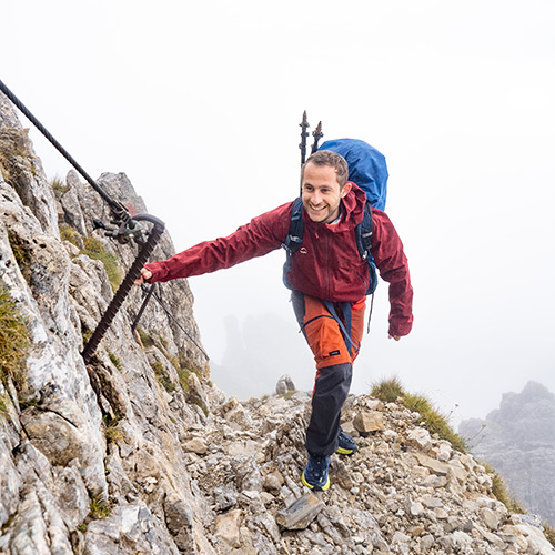
man hiking up mountain
Author

Marco Koevoets

Marco Koevoets was born below sea level in the world’s flattest country: the Netherlands. Marco has a passion for traveling and nature, especially coastal or island hikes. You can follow Marco on Instagram @marcokoevoets

View profile

The Trail

The walk itself is guided and wearing the helmet (included in your reservation fee) is mandatory, but with plenty of opportunities to explore at your own pace.

The trail is located near the village and Dam of El Chorro, 50 kilometers inland from Malaga. The easiest way is to park near the beginning (P1) of the path and upon finishing take the shuttle bus back to your car. Alternatively, organized day tours are offered in the tourist hotspots along the Costa del Sol.

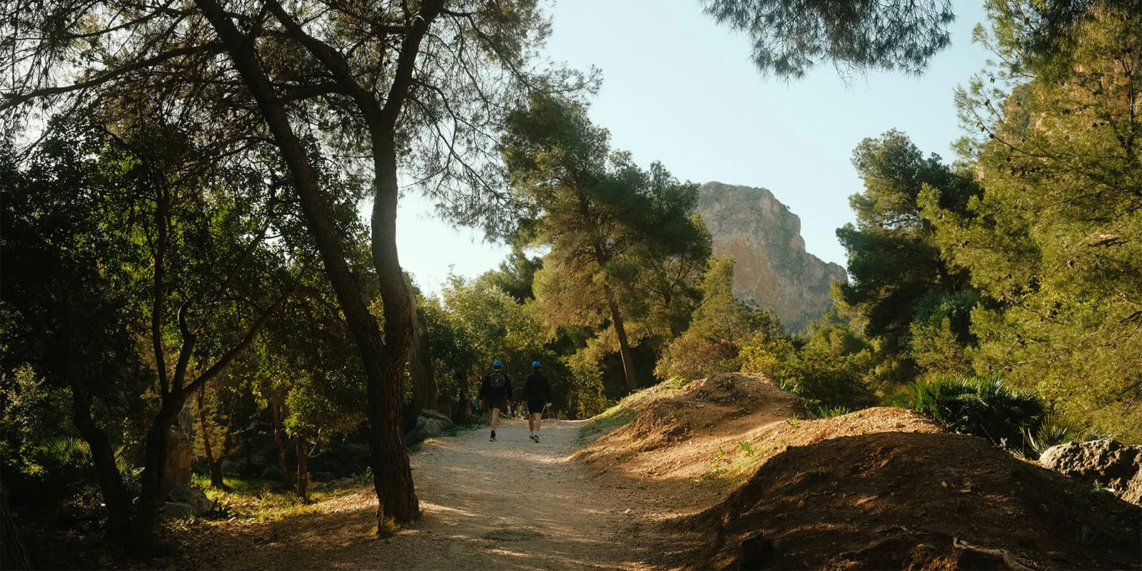
Upon parking your car, you walk to the entrance/checkpoint via a pathway. Please note this is a 3-kilometer section and can take around 45 minutes. At the control point, you can “check-in” with your reservation, and a helmet will be provided. Groups (15-20 people, depending on how crowded it is) depart regularly and you can choose between Spanish and English guides. After an initial talk with the guide, you venture into the gorge, alternating between regular “forest,” boardwalk-type structures next to the cliffs, and footbridges high above the gorge.

Although you are expected to walk with the guided group, there is plenty of time for photos and taking a moment to enjoy the beautiful gorge by yourself, if desired.

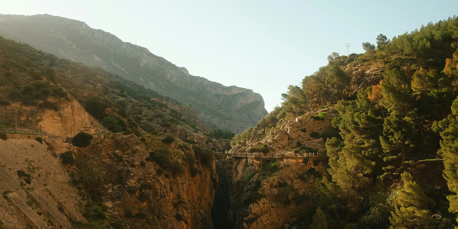
One of the highlights is the 100-meter (328-foot) high bridge at 2/3rds of the walk, which offers magnificent views of the gorge, the path, and the river stream below. From there you descend, initially in the gorge, but the latter part on a regular forest path, back to the little village where a shuttle bus can take you back to P1.

Best time of the year

The best time of the year to hike El Caminito is undoubtedly the shoulder season between April-May and late September-October. This way, you’ll avoid the intense summer heat (the temperature regularly hovers above 40C/105F in June-August) and the potential rainy winter weather. When a storm is forecasted the path is closed as a safety measure.

Safety & Gear

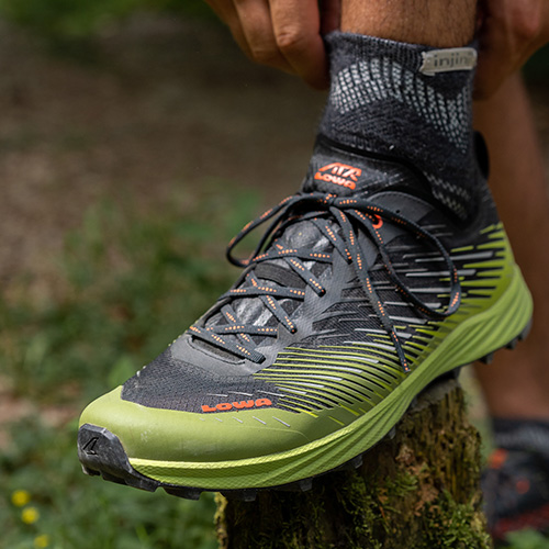
This is an easy hike, comfortable (hiking) shoes and a small backpack are sufficient. However, due to walking alongside steep cliffs, the hike is not recommended for people who suffer from vertigo. Also, be careful in rainy conditions as the trail might be closed. A safety helmet will be provided at the control/access point.

Good to know

This Caminito del Rey requires a entrance ticket, which can be booked online in advance—especially recommended during peak seasons, as slots often sell out quickly.

Bring enough water as there are no sales points along the path until you reach the village where the shuttle takes you back.

route
point to point
highest point
398m (1300 ft)

Want to submit a trail or make this page more complete?

Join the community!

Login or create a FREE account 😊

With an account you can:

Download GPX files

Pin trails to your wishlist

Mark trails as hiked by you

Rate hiking trails

Comment on trails, blogs and gear reviews

Happy trails!
Login

Don't have an account yet? Register here