About the Cumbria Way

country
England
length
116 km(72 mi)
Type of trail
Long-distance
difficulty

Difficulty is highly personal. Be aware of the weather conditions as bad weather turns easier trails in difficult trails especially in the mountains.

Moderate
accommodation

Lodging means a mix of hotels, hostels or AirBnB’s.

Camping, Lodging, Wild camping
Elevation gain
2973 m(9754 ft)
terrain
Countryside, Hills
remoteness
Some of the time
Show more

The Cumbria Way is a traverse of England’s Lake District, traditionally walked from Ulverston in the south to Carlisle in the north. Despite the Lake District being famous for its many fells (mountains) this is a relatively low-level route following tracks and paths along lake shores, heather-lined valleys, bubbling becks, and over picturesque passes. There are only 2-3 decent ascents, although many famous ‘Wainwrights’ are close by so you could plan alternative routes to bag a few and extend your walk. This is also a brilliant trail for wild swimming, with many lakes, tarns, and waterfalls along the route.

Overall, this trail is easy-moderate difficulty – most walkers with a decent amount of fitness will be fine, and it’s a great introduction to long-distance trails. There are a couple of big ascents but the trail is mostly low-level. There is always a defined path, but the grass paths can get very muddy in wet weather. It’s relatively well-waymarked and mostly easy to follow, but you will need to navigate in some areas.

Nicola-whitbread profile picture
Author

Nicola Whitbread

Nicola Whitbread is a U.K.-based long-distance walker and cheerful soul, slowly exploring the rich variety of trails this country has to offer. She loves the challenge of solo adventures, being responsible for her safety, navigation, and problem-solving, and the simple bliss of reading a book in her tent after a long day of hiking.

Nicola works a 9-5 but makes full use of national holidays and annual leave, sometimes splitting a longer trail into section hikes and completing over a few weekends. She finds confidence, freedom, and peace on the trail and it is very much her happy place.

You can follow Nicola on Instagram @nicola.navigates

View profile

The Trail

The trail splits naturally into 5 sections, with campsites or town accommodation at the end of each section, although it’s possible to complete the walk quicker (I walked it in 4 days, and wild camped throughout) or take your time if you’re exploring the surrounding fells. It is mostly well signposted with green and yellow arrow waymarkers, though these are difficult to spot in the farmland and urban sections. There is a train station at both the start and end, making this trail straightforward to access.

There are plenty of shops where you can stock up in the small town of Ulverston, and then the trail eases you in with miles of charming rural farmland, following dry stone walls and fern-lined grassy paths, the distant fells beckoning you closer. Most of the first day will be spent navigating fields as the waymarkers are scarce, but then the first tarn appears, aptly named Beacon Tarn; an oasis on a hot day.

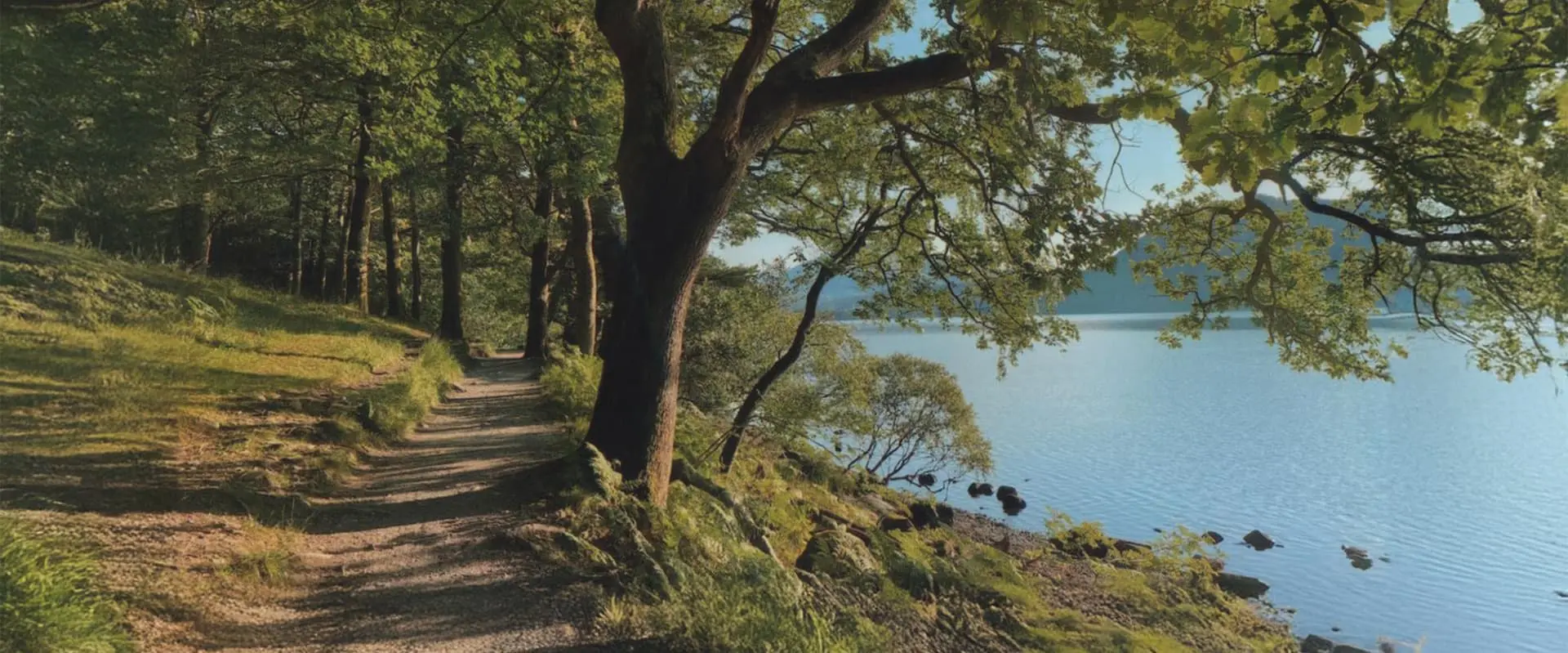
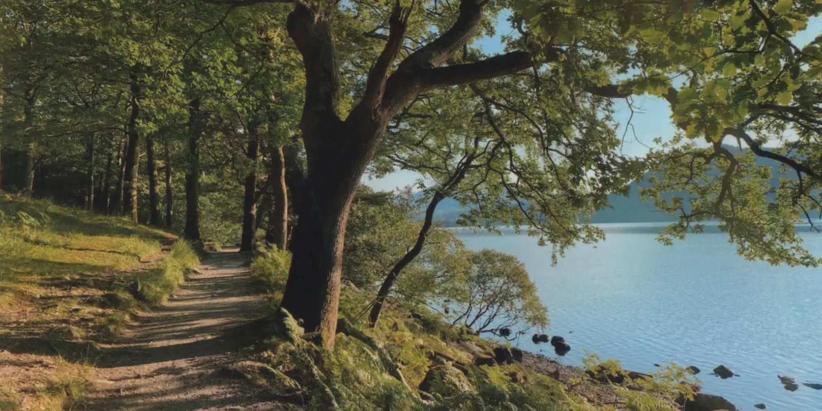
From here it’s a clear grassy path through the ferns for a few more miles, then you drop down to Coniston Water, where the Cumbria Way has the pleasure of following its shoreline under a canopy of trees. The campsites here are popular and will be busy in peak season. Coniston itself is a small town with amenities. The town is a natural stopping point, but if you wish to carry on, Tarn Hows Wood and Tarn Hows (small lake) a couple of miles further, offer potential wild camping opportunities if you pitch late and leave early.

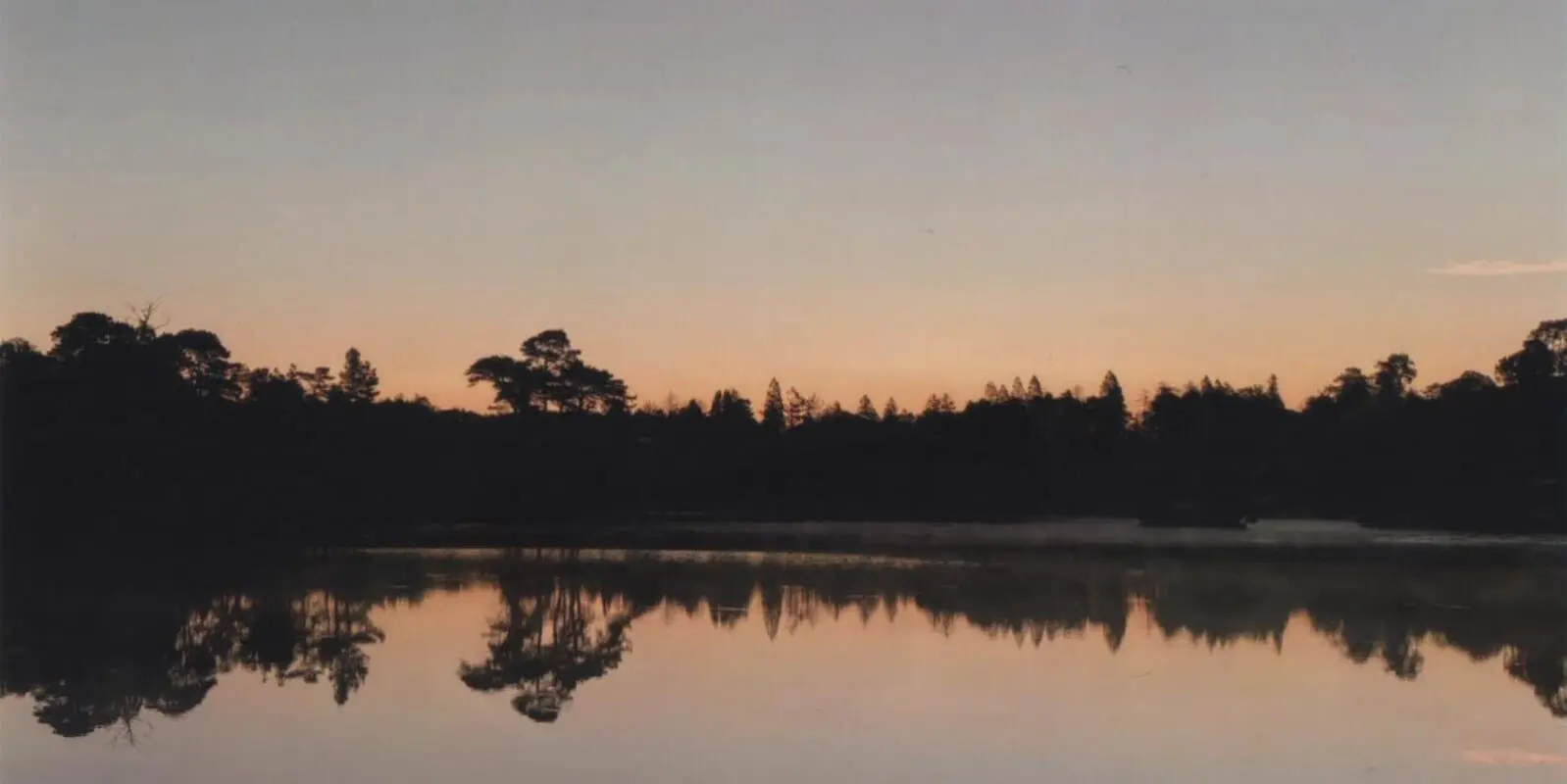
From Coniston, the trail meanders through a small woodland, and then you reach your next body of water, Tarn Hows. This is a peaceful spot, and if you’re there early in the right weather conditions, the mist hovering above the water is magical. After the tarn, it’s an easy gravel path through woodlands, passing Colwith Force waterfall and a few small farms, before reaching Elter Water, the Lake District’s smallest lake. The village of Elterwater offers some amenities, and then it’s a scenic walk following the river to Langdale, with fells all around. There are a few campsites around the Langdale area and a couple of pubs, though it is a remote area. If you’ve still got energy, this area is great for sidequests, exploring the Langdale Pikes, Dungeon Ghyll Force (waterfall), and Stickle Tarn.

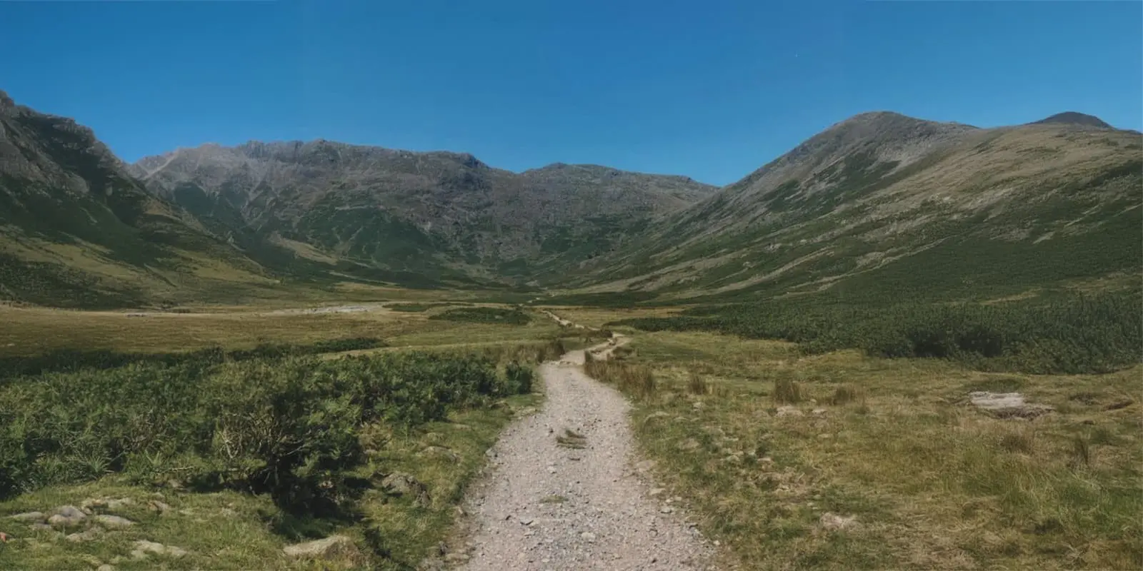
From here, stage three is probably the most scenic section of the Cumbria Way, passing through two epic but remote valleys: Mickledon and Langstrath. After Langdale, the trail is a rocky, gravel path through the valley, following Mickledon Beck, which offers a couple of beautiful dipping spots in its crystal clear water. There are no amenities for a while and the valley offers little protection from the elements. There’s a big climb up Stake Gill but you’re rewarded with an incredible vista on the other side, overlooking the next valley. You’re following the small Langstrath Beck through this valley, and it’s easier to follow if you don’t cross the river (keep it on your left). Soon, you’ll find yourself at the famous Blackmoss Pot, a very popular wild swimming area with clear water and rocks to jump from. Pools and swimming spots continue to the small village of Stonethwaite, where you’ll find an excellent pub. If you’re having a shorter day, I highly recommend Chapel Farm Campsite just around the corner.

From here, it’s a pretty and straightforward walk following the River Derwent through Borrowdale for a few miles, which flows into majestic Derwent Water. This incredible lake is a treat on the senses and the feet, with a flat lakeside path under the trees and keeping close to the lakeshore before reaching the popular market town of Keswick. Note, if you plan to use campsites, there is a campsite before Derwent Water but nothing after. You will have to be really stealthy if you plan to wild camp in the area.

You’ll find that Keswick is full of outdoor shops and lovely cafes, and you could do a full resupply here. If you can pull yourself away from this bustling, quirky town, you have a sudden hill leaving Keswick and then you’re back in the fells. Lonscale Fell is an exposed section, opening out to more of a moor with a wide plateau and paths through the heather. This is a remote area, with no roads and Skiddaw House is the only building around for miles – Britain’s highest bunkhouse (accessible only on foot or mountain bike!).

There are two options for the Cumbria Way here, with the fell of Great Calva in front of you and Skiddaw House behind, the path splits and goes both left and right. Left is a lower but longer route and involves road walking. The right path is the one typically taken, and will take you up High Pike before dropping down to Caldbeck. I followed the right path to High Pike.

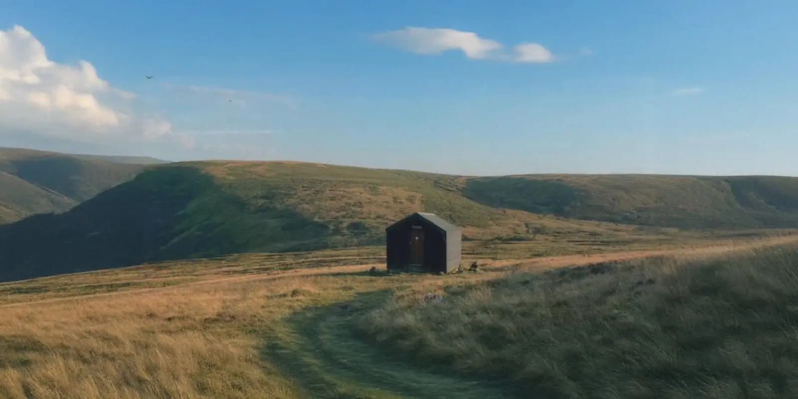
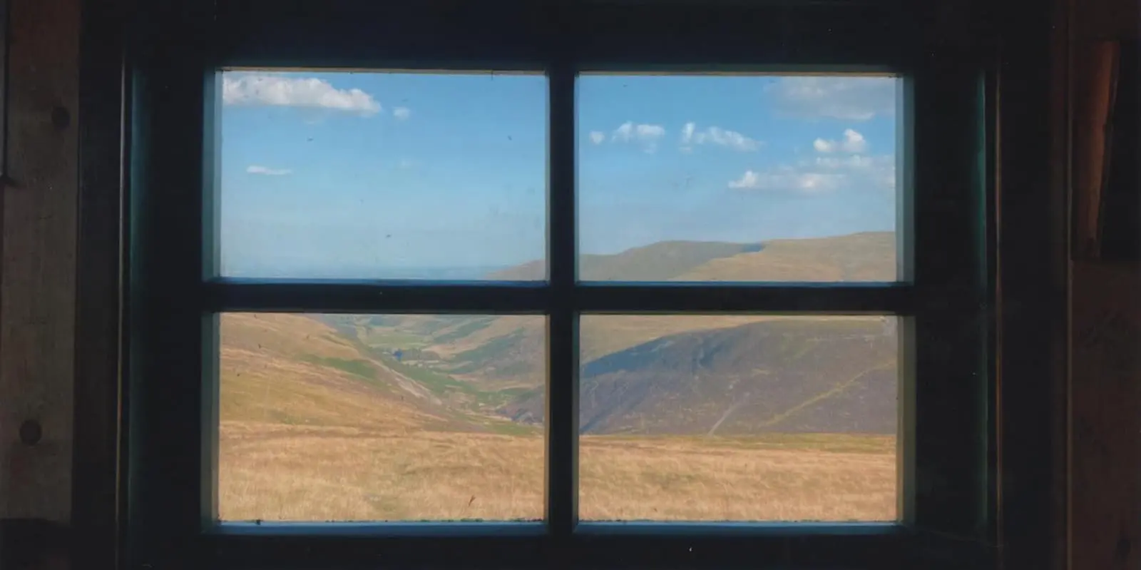
The grassy paths from here can get very muddy in poor weather, and heading up Grainsgill Beck is a difficult bog-fest, even in good weather. However, at the top is a welcome sight – you’ll find the little bothy of Lingy Hut. Free to use and open to everyone, this wooden hut offers great refuge from the weather. High Pike approaches next, the highest point on the Cumbria Way, but you’re already quite high up so it’s not a sudden ascent. The descent into Caldbeck is a gentle grassy slope and there’s a great campsite in the small village of Caldbeck which the Cumbria Way passes right through.

Eventually, you’ll reach the final stage and the fells will be behind you now. The rest of the walk is low-level, finishing much how it started – mostly following farmers’ fields, with some woodland trails. It follows the River Caldew all the way to Carlisle, so although this isn’t the most interesting section, it’s nice to have the water as your companion. Despite it starting to feel like returning to civilization with more farms and buildings, there are no amenities until the small village of Dalston. From Dalston, you’re on tarmac until Carlisle – a bustling city, and a bit of a shock to the senses.

Stages

5-stage itinerary

Stage 1:

Ulverston – Coniston, 24.1 km | 15 mi

Stage 2:

Coniston – Langdale, 19.3 km | 12 mi

Stage 3:

Langdale – Keswick, 24.1 km | 15 mi

Stage 4:

Keswick – Caldbeck, 24.1 km | 15 mi

Stage 5:

Caldbeck – Carlisle, 24.1 km | 15 mi

Accommodations

There is accommodation at the end of each section. It will be a campsite or, in the urban areas of Keswick and Carlisle, B&Bs, hotels and hostels. For areas in between, you will need to wild camp, and the Lake District is a beautiful place to do this! However, if you are wild camping, please be aware that wild camping is not permitted in England. But there is an unwritten rule that it is accepted if you are respectful and pitch late, unseen and away from the path, and leave no trace.

The trail has many great hostels and bunkhouses throughout the route:

Best time of the year

The Cumbria Way is open all year but the best time to walk it is spring or summer. It would be beautiful and moody in autumn, but the weather tends to be much wetter, churning up the paths. That said, the weather is unpredictable in the Lake District and there have been some really wet summers!

I walked the Cumbria Way one August during a heatwave and this was an unusual treat, making the cool water of the many tarns, lakes, and rivers even sweeter. However, the heat wave came with its own risks – there are many exposed sections offering little protection from the sun.

Safety & Gear

This is considered a safe trail but some of the paths can get quite rocky and loose underfoot. There are remote sections where phone signal will be non-existent. A satellite device like a Garmin InReach is recommended ‘just in case.’

The weather changes fast so be prepared with your gear – take waterproofs, warm layers, and spare socks. It can also get surprisingly hot – wear a hat and take suncream. If you’re walking in summer and there’s no wind, you will likely get midges near the water – be prepared with insect repellent, and additionally, look out for ticks on your skin.

Lastly, I hiked this trail as a solo female. I applied common sense and never felt concerned for my personal safety. Pre-book accommodation in advance in urban areas for peace of mind.

Good to know

Full resupply is possible at Coniston and Keswick; you shouldn’t need to carry more than two days worth of food, and you’ll likely pass a pub or cafe every day. There are roads and bus links at the end of each section, although the rural sections will have fewer bus services, and there’s a train station at the start and finish.

For a true ‘middle of nowhere’ experience, a stay in the hostel at Skiddaw House is highly recommended, but you’ll need to pre-book.

As you can imagine from the name, the Lake District is an area plentiful in water. At the end of every section, there are amenities and facilities to fill your bottles, but I recommend taking a water filter and refilling as you go; you shouldn’t need to carry more than 1.5L. Sheep graze in many places – lookout for dead animals and don’t drink from nearby or downstream sources.

Route
Point to point
Highest point
650m (2,133 ft)

Guidebooks

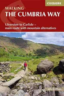
guidebook Cumbria way

The Cumbria Way

View guidebook

Want to submit a trail or make this page more complete?

Always read the disclaimer

Terms of Use: important to all visitors on this website. We strive to publish high quality content and information on this website. However it’s always possible that we’re missing out on some crucial information. In spite of the fact that this route, associated GPS track (GPX and maps) were prepared under diligent research by the specified contributor and/or contributors, the accuracy of such and judgement of the author is not guaranteed. Therefore, hiking-trails.com and contributors are in no way liable for personal injury, damage to personal property, or any other such situation that might happen to individuals hiking or following this route. Should you choose to hike this trail, this is always at your own risk. Check out our guidelines for safety hiking and Leave No Trace principles at the hiking 101 page.

Download GPX

Join the community!

Login or create a FREE account 😊

With an account you can:

Download GPX files

Pin trails to your wishlist

Mark trails as hiked by you

Rate hiking trails

Comment on trails, blogs and gear reviews

Happy trails!
Login

Don't have an account yet? Register here