Our book is out now!Hiking Trails


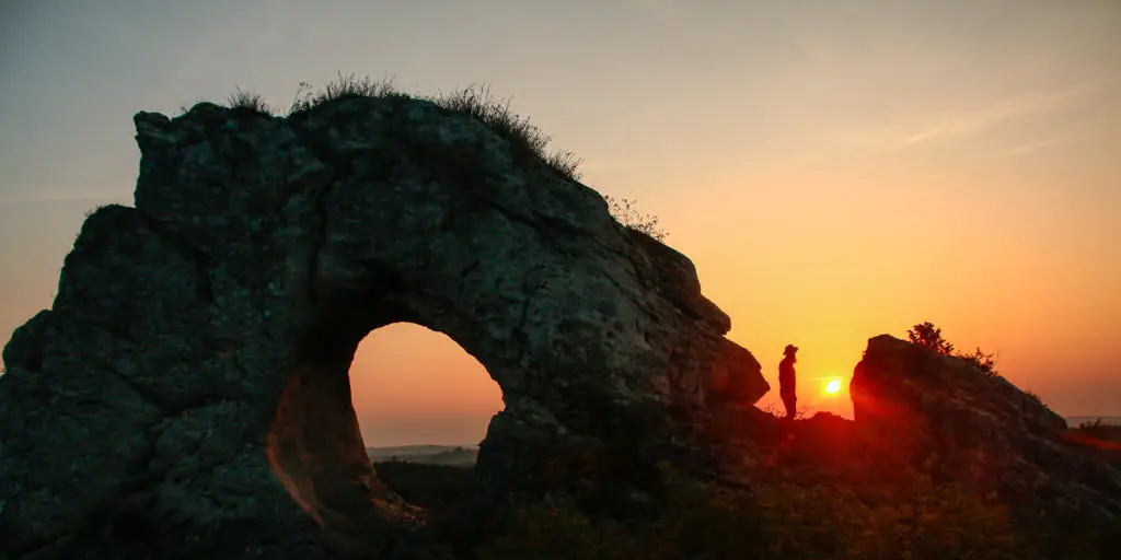
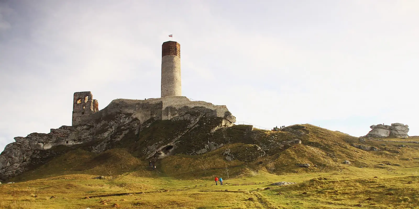
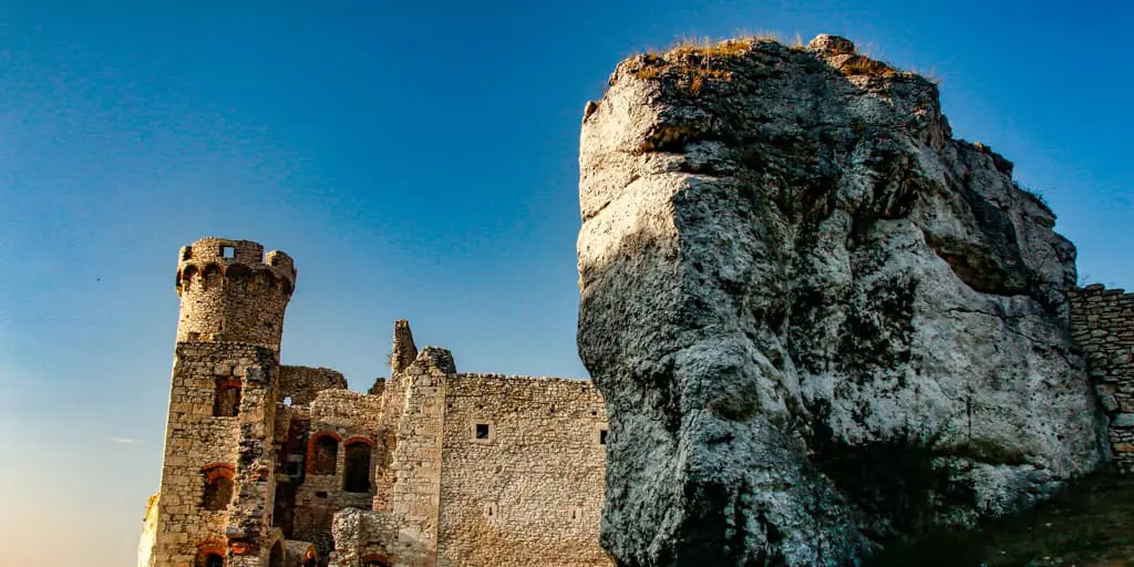
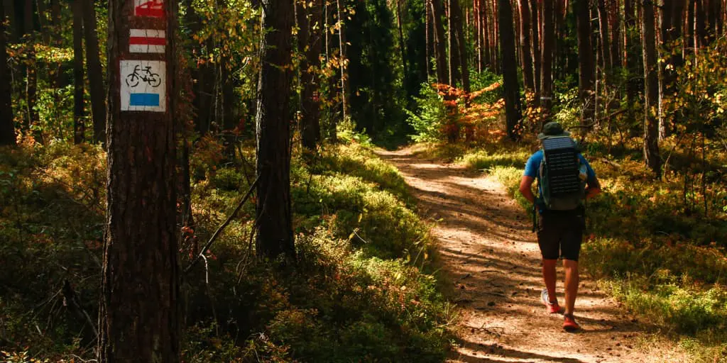
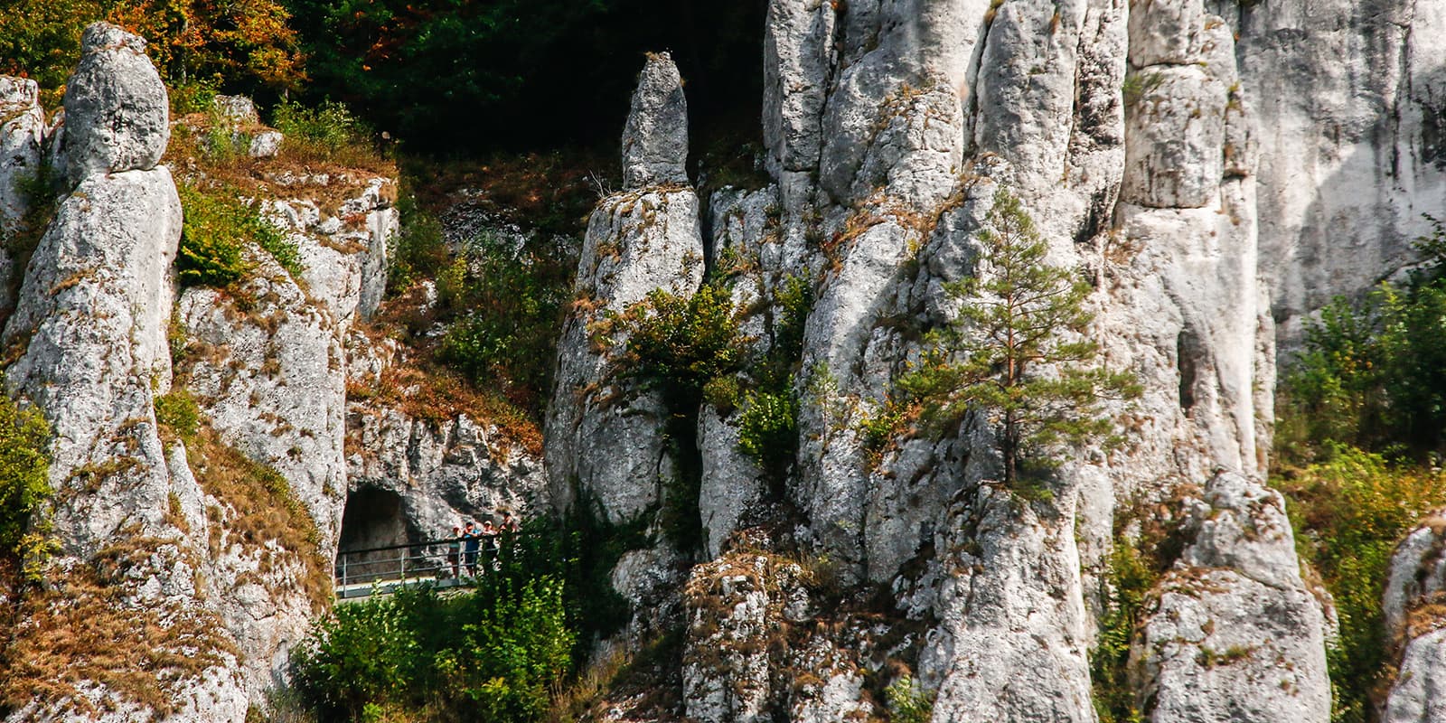
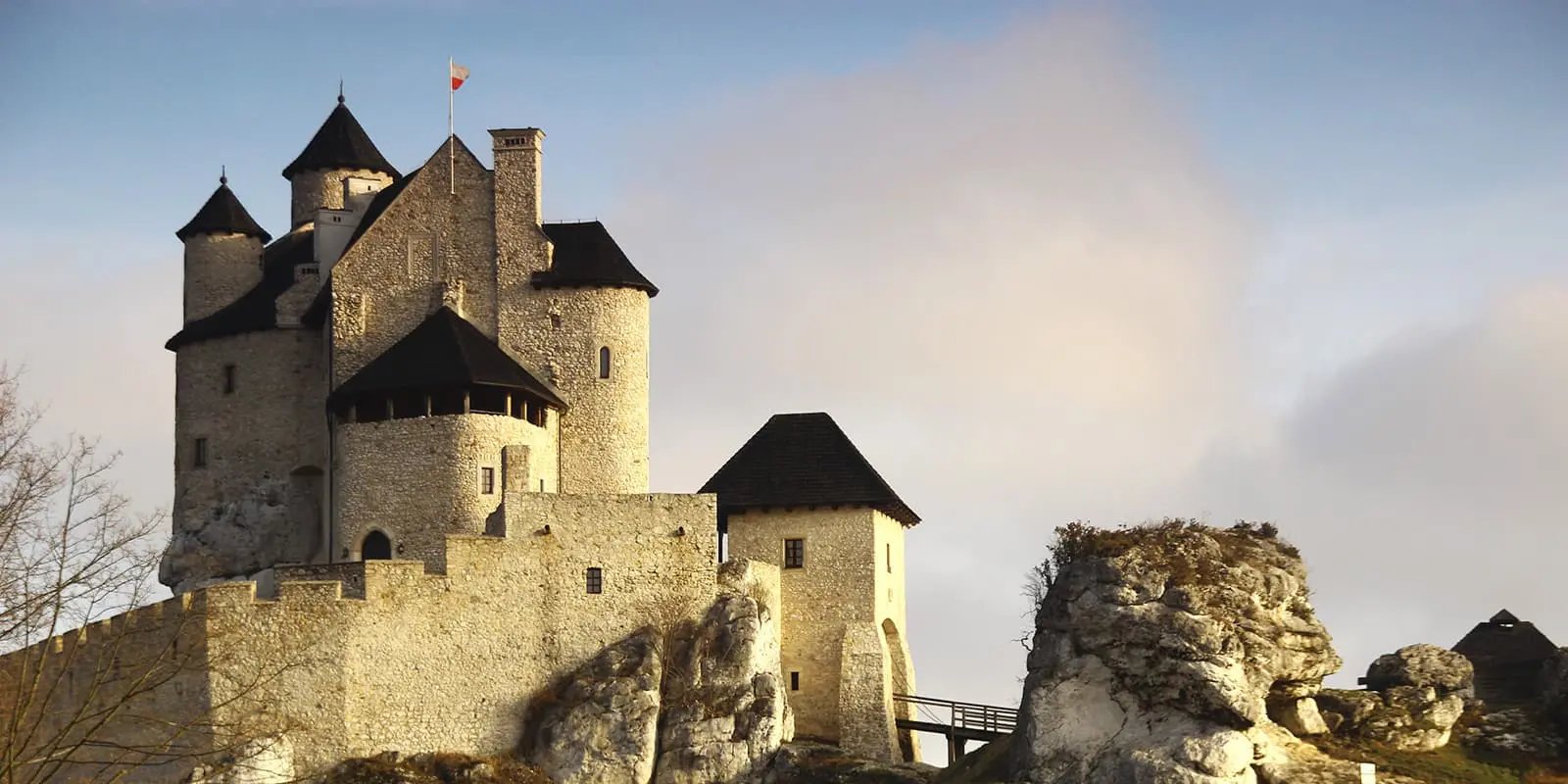
The Eagle’s Nests Trail or Trail of the Eagles Nests leads hikers through the Kraków-Częstochowa Upland. In the “Jura,” a local name for this region, there are about 700 kilometers of hiking trails, about 5000 boulders, 1700 caves, a desert, and more than 20 strongholds, fortresses, or castles. There are 12 castles (ruins, strongholds) located on the Eagle’s Nests Trail. This region is a unique experience combining history with beautiful Jurassic landscapes.
The Eagle’s Nests got their name from their location on the highest rocks, which were good observation points. It is a network of castles, fortifications, and fortresses that were built mainly in the 14th century to defend the border with the Kingdom of Bohemia (now the Czech Republic).