About the Camino Finisterre

country
Spain
length
90 km(56 mi)
Type of trail
Pilgrimage, Long-distance
difficulty

Difficulty is highly personal. Be aware of the weather conditions as bad weather turns easier trails in difficult trails especially in the mountains.

Easy
accommodation

Lodging means a mix of hotels, hostels or AirBnB’s.

Shelters, Lodging
Elevation gain
1626 m(5335 ft)
terrain
Coastal, Countryside, Forest, Hills
remoteness
Some of the time
Show more

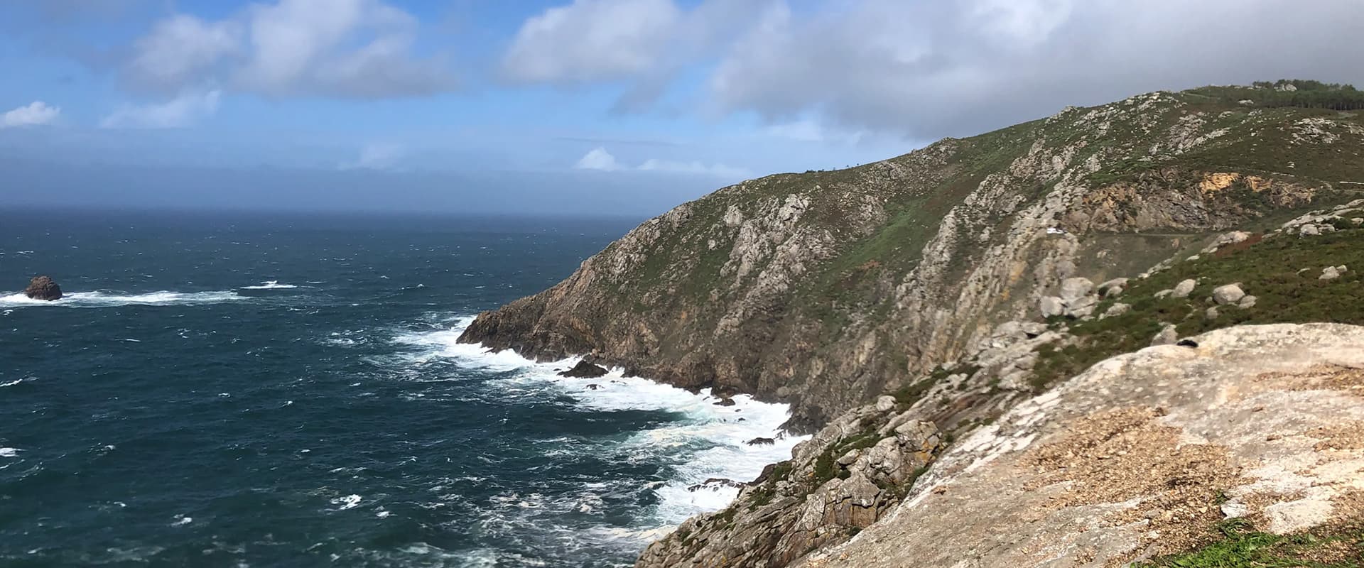
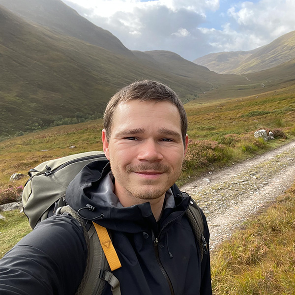
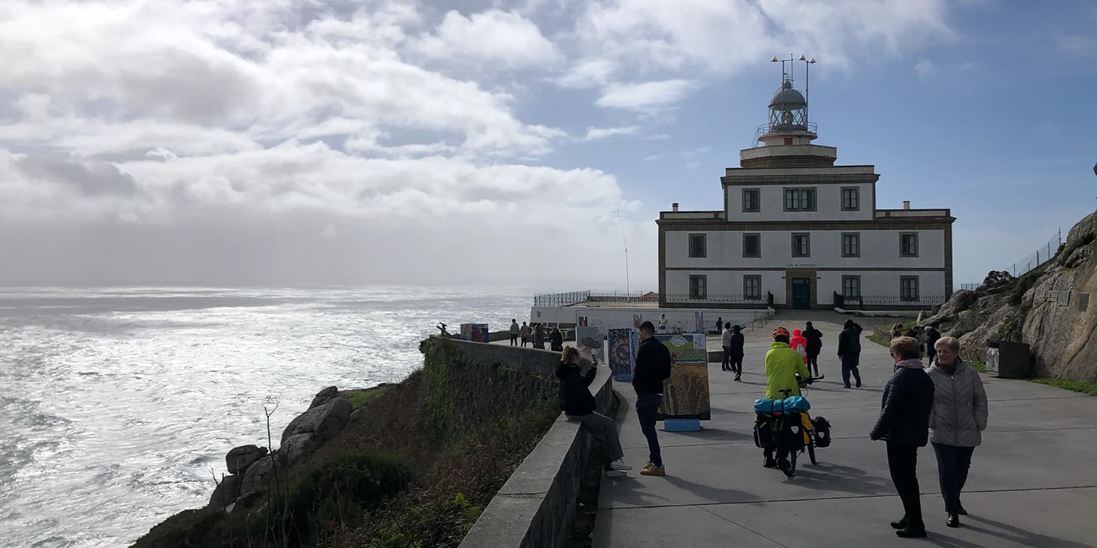
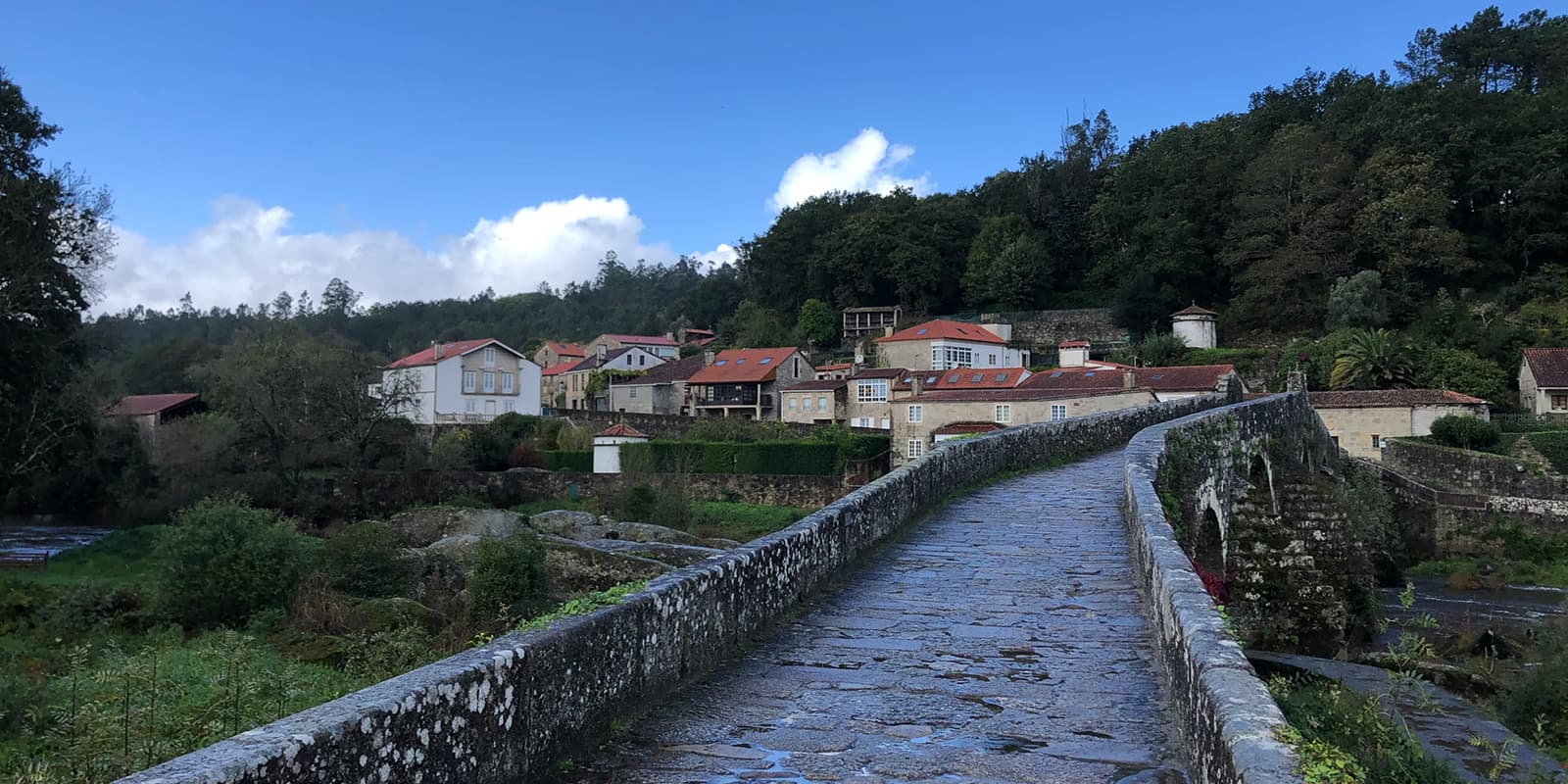
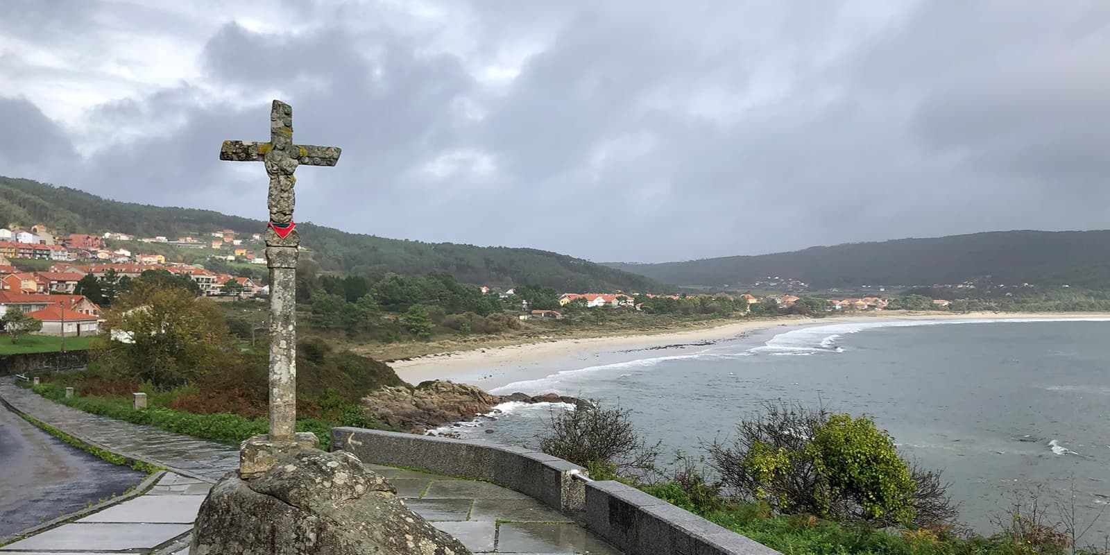
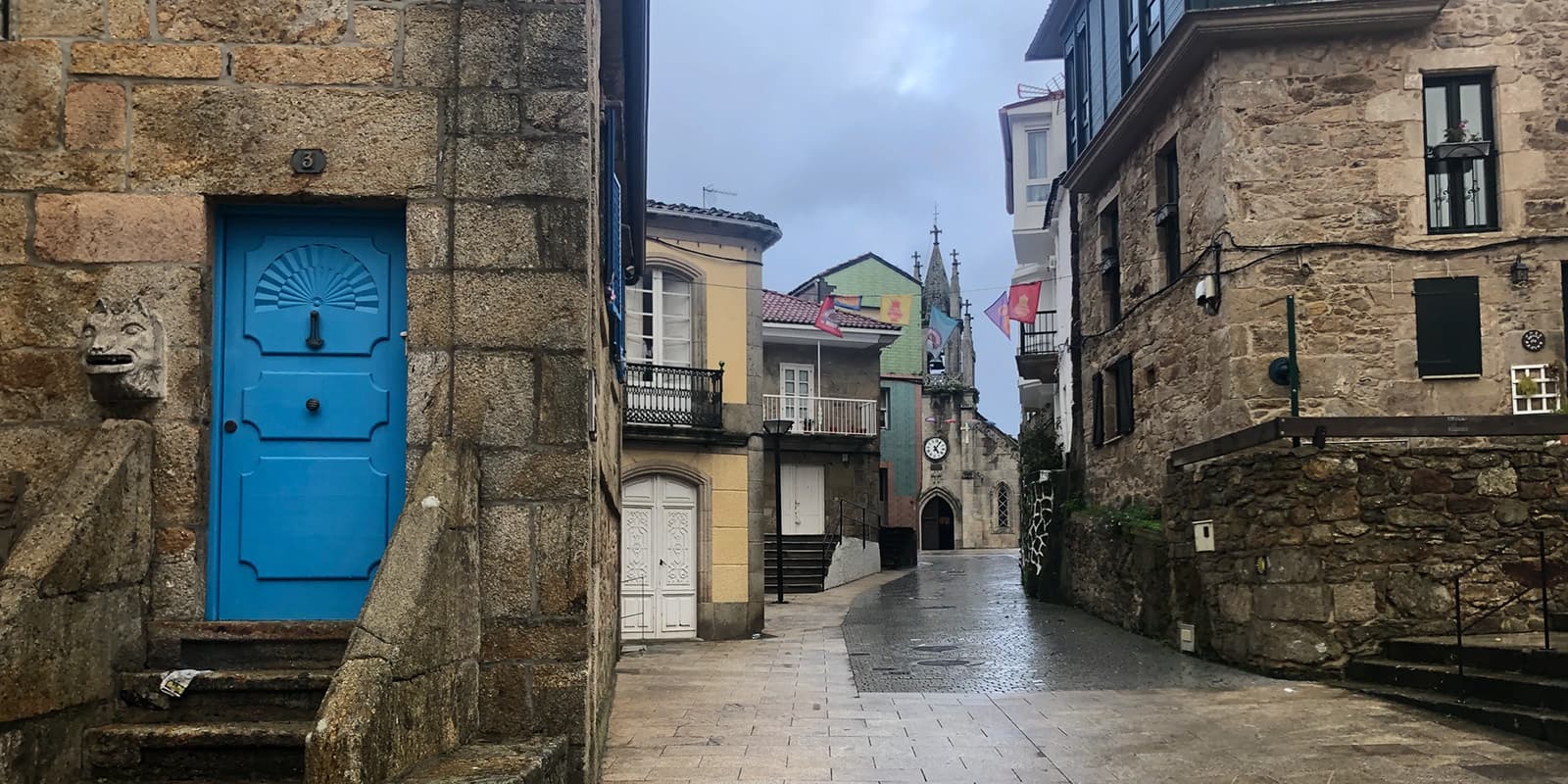
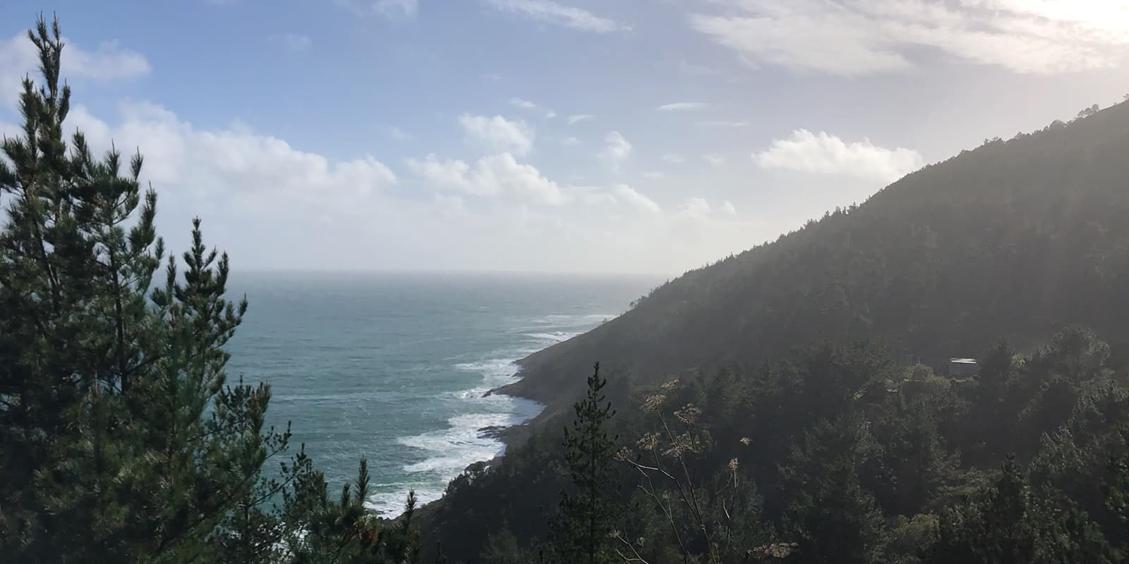
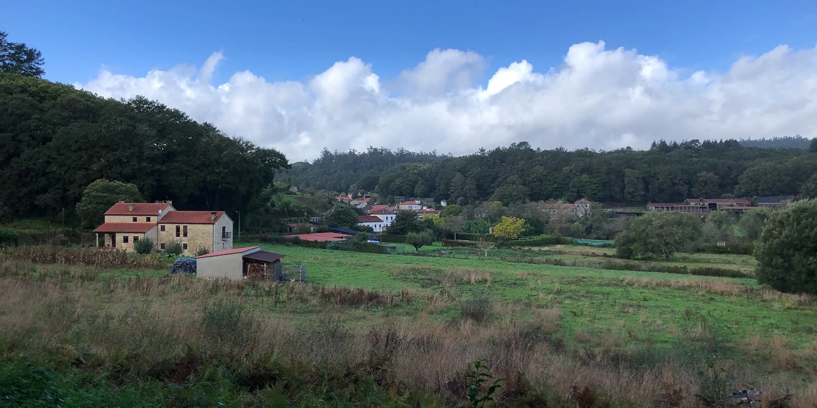
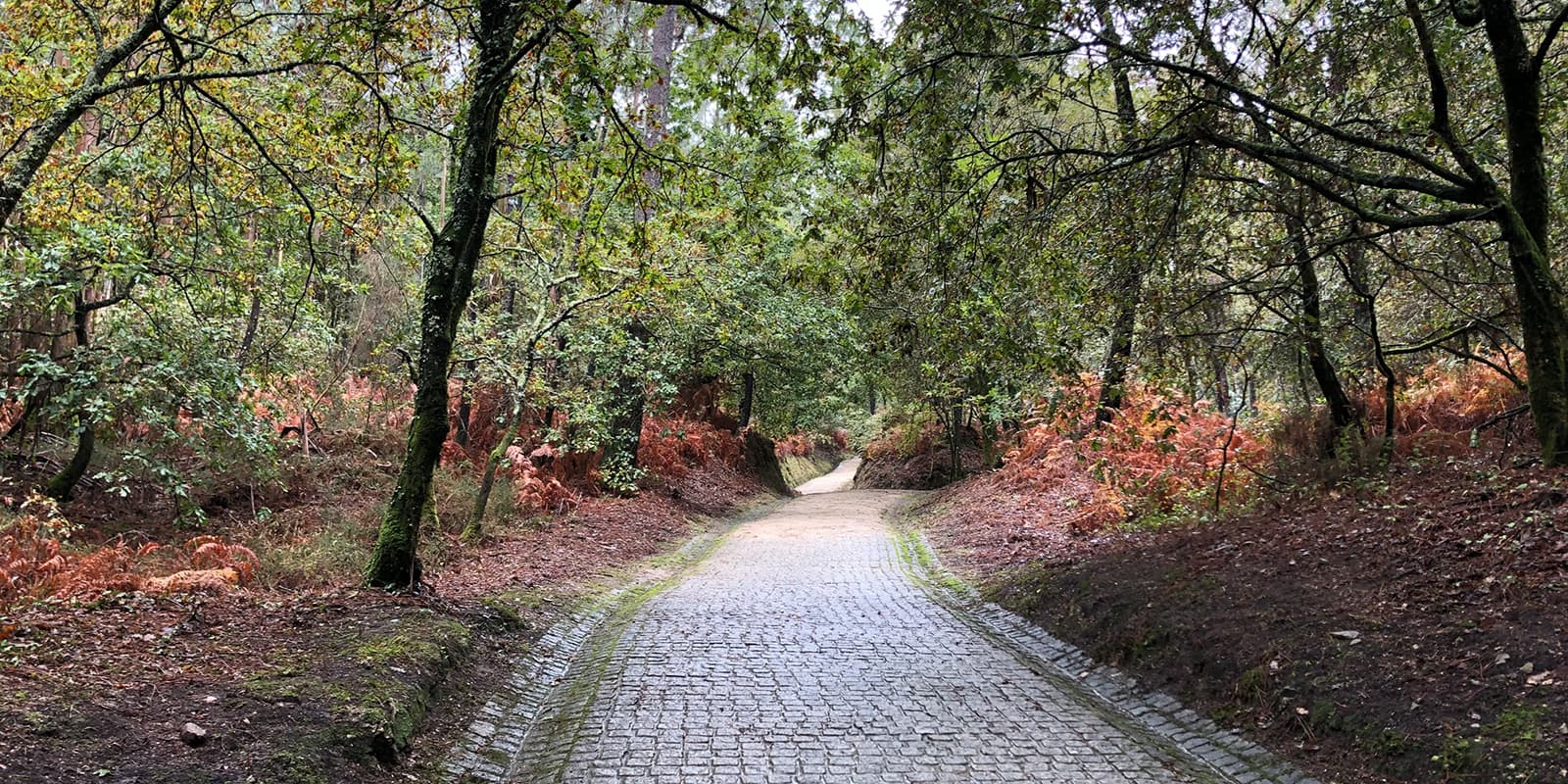
The Camino Finisterre is a 90 km long hike to the most western point of Europe, Cabo Finisterre. They call it the way to ‘the end of the world’, because Finisterre literally means no more land. It’s the only pilgrimage that starts in Santiago de Compostela, which is a famous endpoint for the thousands of pilgrims and hikers who arrive here after a long journey. On this trail, you walk through fairytale forests, windy hilltops, peaceful countryside, and rugged coast, discovering the region of Galicia in Spain.

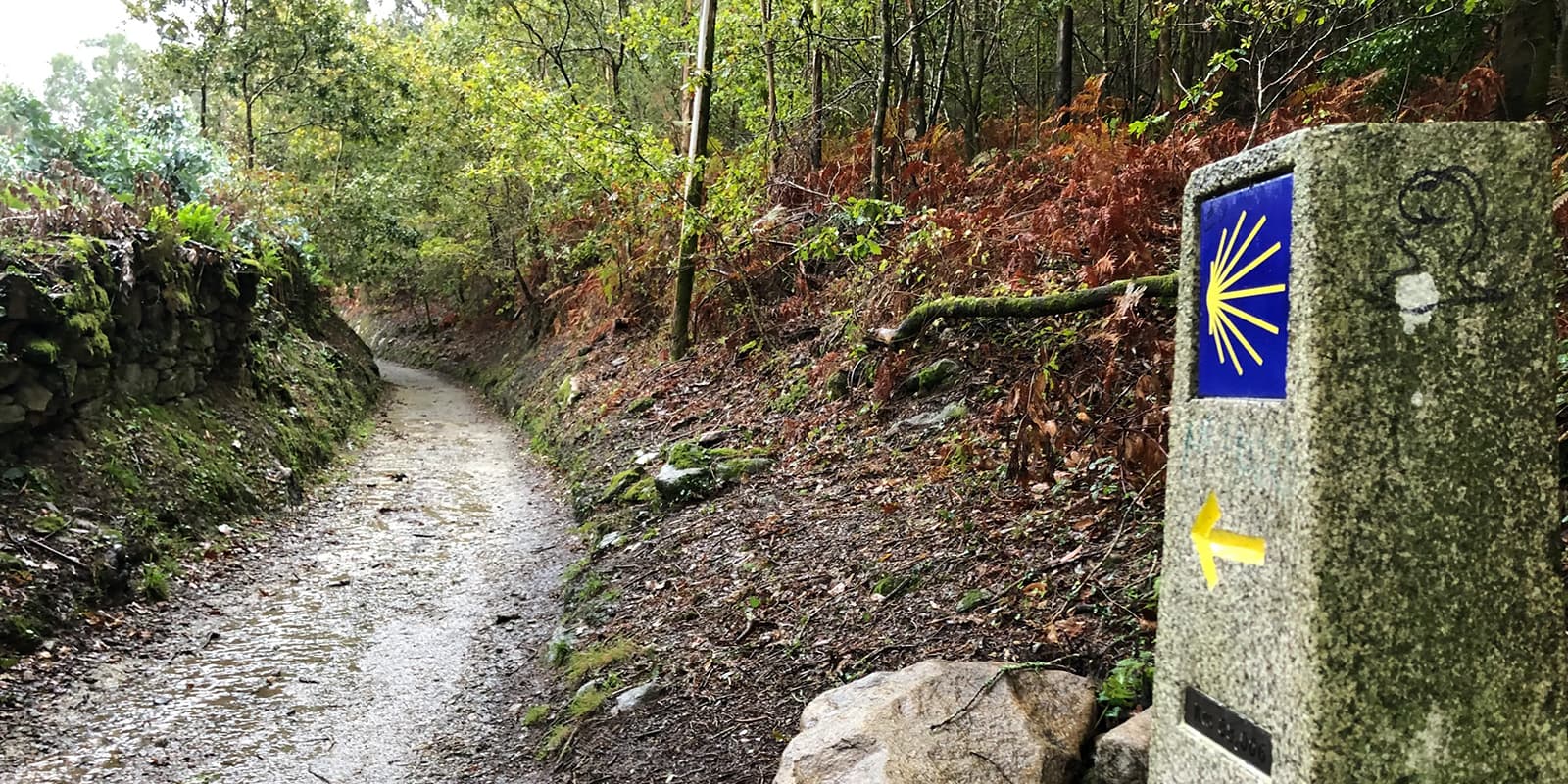
The trail starts in Santiago de Compostela from its official office where you can get your pilgrimage passport. From there, you go west and you’ll soon leave the city center and see the first milestone of the trail. You’ll encounter a lot of them on the trail which is very motivating because they tell you how many kilometers are still to go. The Spanish name is Finisterra, but in Galicia they call it Fisterra, that’s why most of the time you’ll see this pronunciation.

Rob Dormans profile picture
Author

Rob Dormans

Ever since he discovered long-distance hiking and thru-hiking a few years ago, Rob finds himself more and more attracted to life on trail. Intrigued by the simplicity and beauty of everyday life, the Dutchman has so far hiked Camino Finisterre, The Müllerthal Trail, The West Highland Way, and Grand Route 01 Santa Maria. You can follow Rob on Instagram @rob.dormans.

View profile

The Trail

In this first stage, you’ll hike up through ancient forests which provide a lot of shade. On the hilltop just outside the city, you’ll have a great view of Santiago. The trail continuously meanders through little villages and countryside before heading into the trees again. The municipality of Ames is very beautiful with its ancient bridge to cross the river Tambre. After that, you’ll soon reach the town of Negreira. In Negreira you can stay in one of the hostels, which are simple but all you need. There are also a handful of shops and restaurants in Negreira.

Leaving Negreira behind, you head further west, walking on big dirt roads and through the countryside. Cornfields, pine trees, and eucalyptus are native vegetation here. You’ll pass numerous farms and it’s a very peaceful environment to walk through. Nevertheless, it can be pretty windy in these areas, especially on the hilltops. A nice place to stay is Monte Aro, just a few kilometers before Olveiroa. It is a pretty little hostel located in the heart of the Galician region, where you can have a delicious meal and breakfast before you continue toward the coast.

During the third stage, you continue mainly on dirt roads along leafy vegetation. You cross the village of Hospital and soon after you reach a roundabout where the ways to Fisterra and Muxía separate. From here you descend to Cee, the largest municipality of the Death Coast and a picturesque town with colorful houses and little fishing boats. Corcubión is now just around the corner. Its old quarter had been declared a historical-artistic site. On the Rúa San Marcos, you come to the church of the same name, devoted to the town’s patron saint.

The last stage of this trail takes you from Corcubión to the end of the world at Fisterra; a short stage with only 14.2 kilometers. You start with a steep climb that leads to the village of Vilar. You then cross a region that has one of the most beautiful coasts in the Iberian Peninsula, with large calm beaches, rocky cliffs, and a rough sea that has left hundreds of stories and legends of shipwrecks and rescues. You follow the coastline past Sardiñeiro and then pass the long beach of A Langosteira. The town of Fisterra emerges like an island in the background.

Through sand dunes, the path leads into Fisterra past a big stone cross on a slope. You then soon walk up to the mythical lighthouse which marks the end of the Camino Finisterre with the 0 km milestone. There’s a cozy little bar next to the lighthouse where you can enjoy a cold beer, but not after you’ve walked to the back of the lighthouse and experienced the fierce wind that is home to these cliffs. If you’re lucky you can watch the sunset at the cape to have a beautiful ending of your hike. Buen Camino!

Stages

4-stage itinerary

Stage 1:

Santiago de Compostela – Negreira, 20.1 km | 12.5 mi

Stage 2:

Negreira – Olveiroa, 34 km | 21.1 mi

Stage 3:

Olveiroa – Corcubión, 20.6 km | 12.8 mi

Stage 4:

Corcubión – Fisterra, 14.2 km | 8.8 mi

Accommodations

When hiking this trail, there are many possibilities where you can stay. Most people choose to stay in albergues along the way. These are hostels, either by municipality or private, that are equipped for pilgrims. You’ll find plenty in the towns you pass on the trail. In almost all of the hostels you stay, you’ll need a pilgrims’ passport, called a credential, to qualify to sleep there. If you plan to hike the Camino Finisterre in the summer months it’s recommended to book your stay in advance, as the hostels can be full, due to the popularity of the trail.

Albergues along the trail

Stage 3:

Albergue Moreira

Stage 4:

Albergue Oceanus

Best time of the year

Although the Camino Finisterre can be hiked all year round, the best time to hike this trail is from March to November. This is because the weather is much more pleasant to hike in these months. Winters are mild but they are also quite wet. April to June and September to October are popular times to experience the Camino so there will be a lot of pilgrims on the trail and the hostels can be crowded.

Safety & Gear

Depending on when you plan to hike this trail, there’s a chance you may experience bad weather on this trail. So it’s recommended to bring proper rain gear, as it can rain a lot in this area. Especially in autumn, certain paths can be flooded by extensive rainfall and you can stumble upon fallen trees along the way.

You can get a map of the trail at the official Pilgrim’s Reception Office in Santiago which provides you with all the information you need about waymarking, altitudes, accommodation, and services along the way.

The trail is marked very well. Besides the big milestones, you follow little square blue tiles with the yellow shell of St. Jacob, the famous symbol of the Camino.

Good to know

There’s the possibility to walk to Muxía as well, another coastal place further up north, either after you arrive in Fisterra or deviate after you’ve left Olveiroa on the third stage.

Although you cover quite some distance on this trail, it is relatively easy to hike. When it comes to altitude, the climbs are short and easy. The countryside is mainly flat or has rolling hills. Therefore it’s quite an easy trail, but if you experience a lot of rain though the trail will become more challenging.

Water resources: Enough water points at the hostels, restaurants, and villages along the way.

route
Point to point
Highest point
556m (1824 ft)

Want to submit a trail or make this page more complete?

Comments

Be the first one to comment on this trail!

Reply to this trail

Your email address will not be published. Required fields are marked *

Reply to this trail

Log in to comment on this trail
Always read the disclaimer

Terms of Use: important to all visitors on this website. We strive to publish high quality content and information on this website. However it’s always possible that we’re missing out on some crucial information. In spite of the fact that this route, associated GPS track (GPX and maps) were prepared under diligent research by the specified contributor and/or contributors, the accuracy of such and judgement of the author is not guaranteed. Therefore, hiking-trails.com and contributors are in no way liable for personal injury, damage to personal property, or any other such situation that might happen to individuals hiking or following this route. Should you choose to hike this trail, this is always at your own risk. Check out our guidelines for safety hiking and Leave No Trace principles at the hiking 101 page.

Download GPX

Join the community!

Login or create a FREE account 😊

With an account you can:

Download GPX files

Pin trails to your wishlist

Mark trails as hiked by you

Rate hiking trails

Comment on trails, blogs and gear reviews

Happy trails!
Login

Don't have an account yet? Register here