Rating
2 Rate this trail

About the Dingle Way

country
Ireland
length
179 km(111 mi)
Type of trail
Long-distance
difficulty

Difficulty is highly personal. Be aware of the weather conditions as bad weather turns easier trails in difficult trails especially in the mountains.

Moderate
accommodation

Lodging means a mix of hotels, hostels or AirBnB’s.

Lodging, Camping
Elevation gain
2481 m(8140 ft)
terrain
Hills, Countryside
remoteness
Some of the time
Show more

The Dingle Way is a 179-kilometer (111-mile) circular hiking trail located on the stunning Dingle Peninsula in County Kerry, Ireland. The trail begins and ends in Tralee, offering hikers an beautiful journey through a variety of landscapes, from beaches to the Irish mountain trails. It typically takes 8 to 9 days to complete, depending on your pace and fitness level.

The trail is located on the Dingle Peninsula in County Kerry in the west of Ireland and is not only home to the Dingle Way, but it’s also along the famous Wild Atlantic Way, Ireland’s most spectacular coastal route by car which crosses with the Dingle Way, offering unforgettable hiking experiences along the west coast.

Editor

Elmar Teegelbeckers

Passionate hiker Elmar spends months of his time on the trail. He’s usually on the lookout for hidden gems in one of his favourite countries such as Slovenia, Switzerland and Japan. He founded hiking-trails.com in need for a community and detailed information about the trails. Before this, he worked for the Alpine asscociation in the Netherlands[ (NKBV) but lost his heart to the trails.

Not long ago, Elmar published the book (in Dutch) Hiking Trails – best long-distance trails in Europe. With this book, website and socials, he hopes to inspire and shape an inclusive community for hikers all over world. No matter your speed, experience or level, you can get out there to enjoy the trails and connect with the heartwarming hiking community. Life is so much better outside and he hopes to inspire hikers to take their first, or next, step on the trail.

You can reach Elmar at info@hiking-trails.com.

View profile

The Trail

The Dingle Way begins in Tralee, the capital of County Kerry. This cozy town is well-connected and easy to reach by road, rail, or bus, making it an ideal starting point for starting the Dingle Way. From Tralee, the trail heads southwest, quickly taking you into the typical countryside of Ireland.

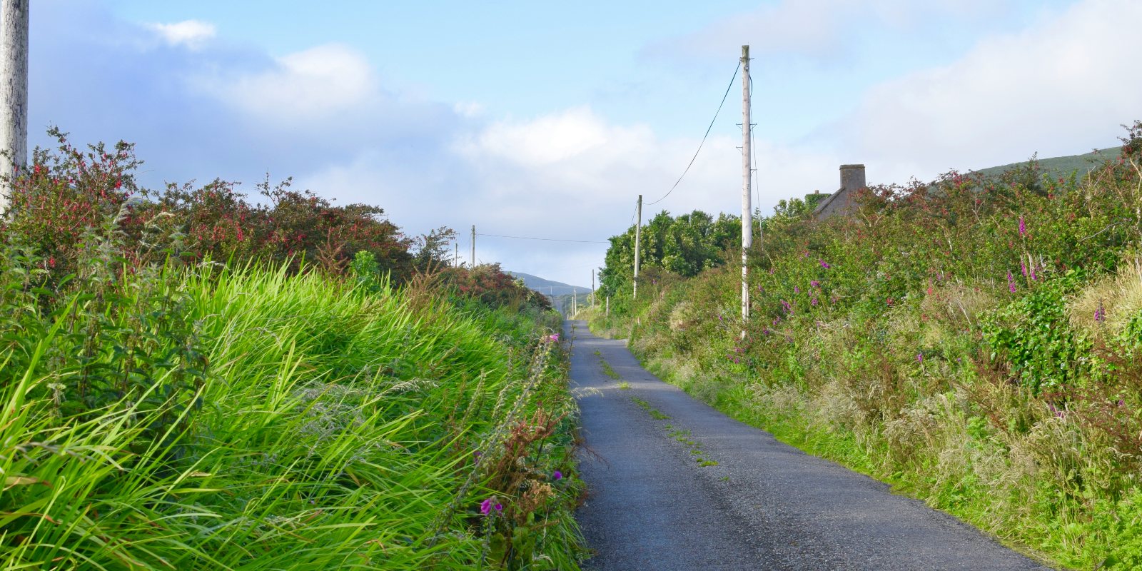
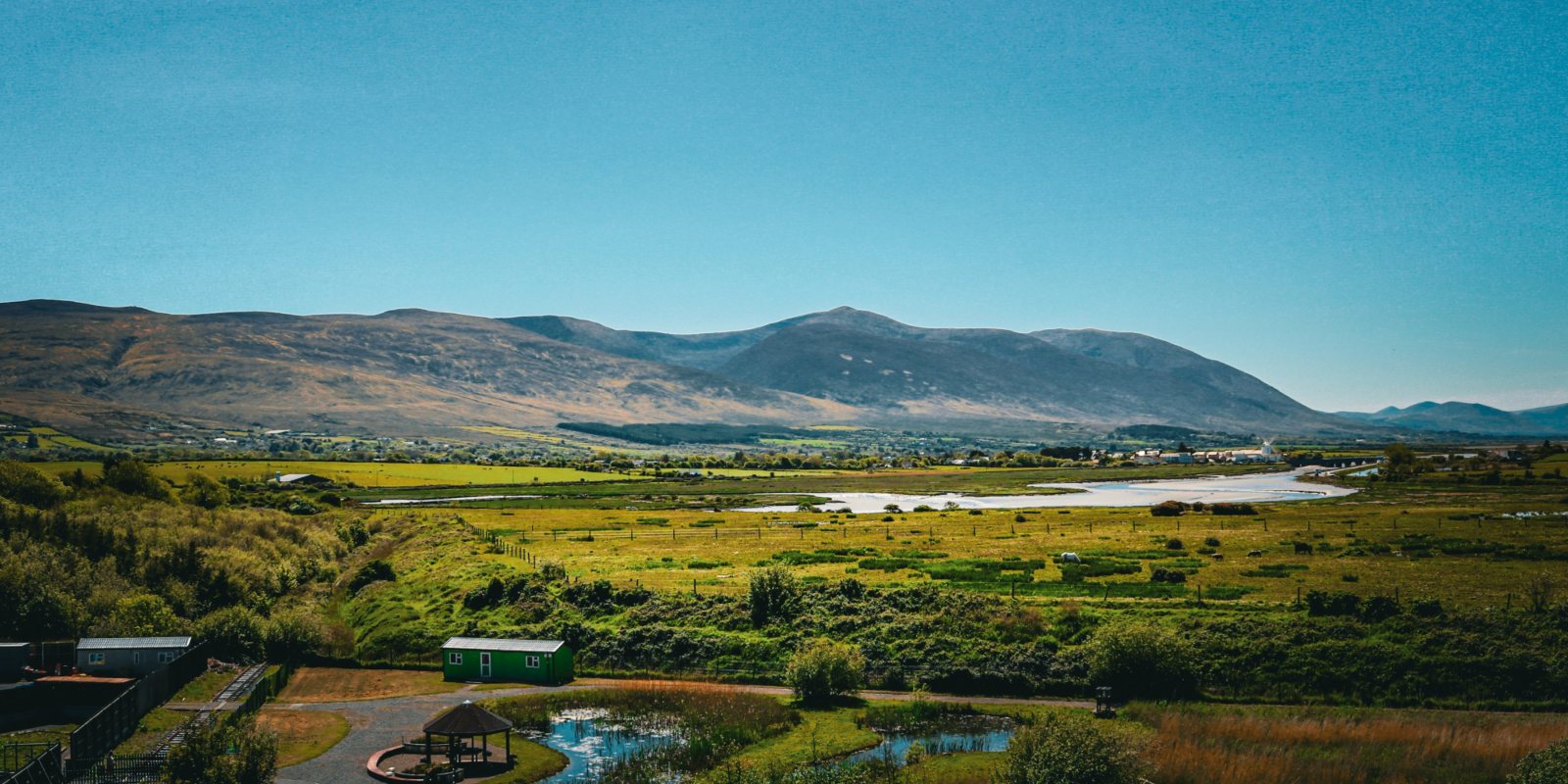
The first stage of the trail leads from Tralee to Camp, covering 18 kilometers. This relatively gentle section follows country roads and takes you through the farmland, with views over Tralee Bay and the Slieve Mish Mountains. The route is easy to follow and serves as a good warm-up for the days ahead.

Leaving Camp, the trail heads towards the small village of Annascaul, home to the famous South Pole Inn, a pub that commemorates the Antarctic explorer Tom Crean. This 17-kilometer stage passes by the stunning Inch Strand, one of Ireland’s longest beaches, offering hikers an opportunity to walk along the sand or take a break and enjoy the sea views.

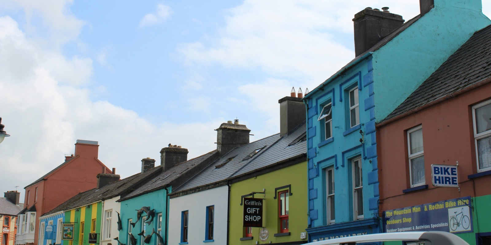
The route from Annascaul to the well known town of Dingle is one of the highlights of the trail. This 22-kilometer section takes you through rolling hills and quiet roads, leading to the lively fishing town of Dingle, known for its music, food, and cultural heritage. Many hikers choose to spend an extra day or two here, exploring the town or taking a boat trip to see the famous Fungie the Dolphin.

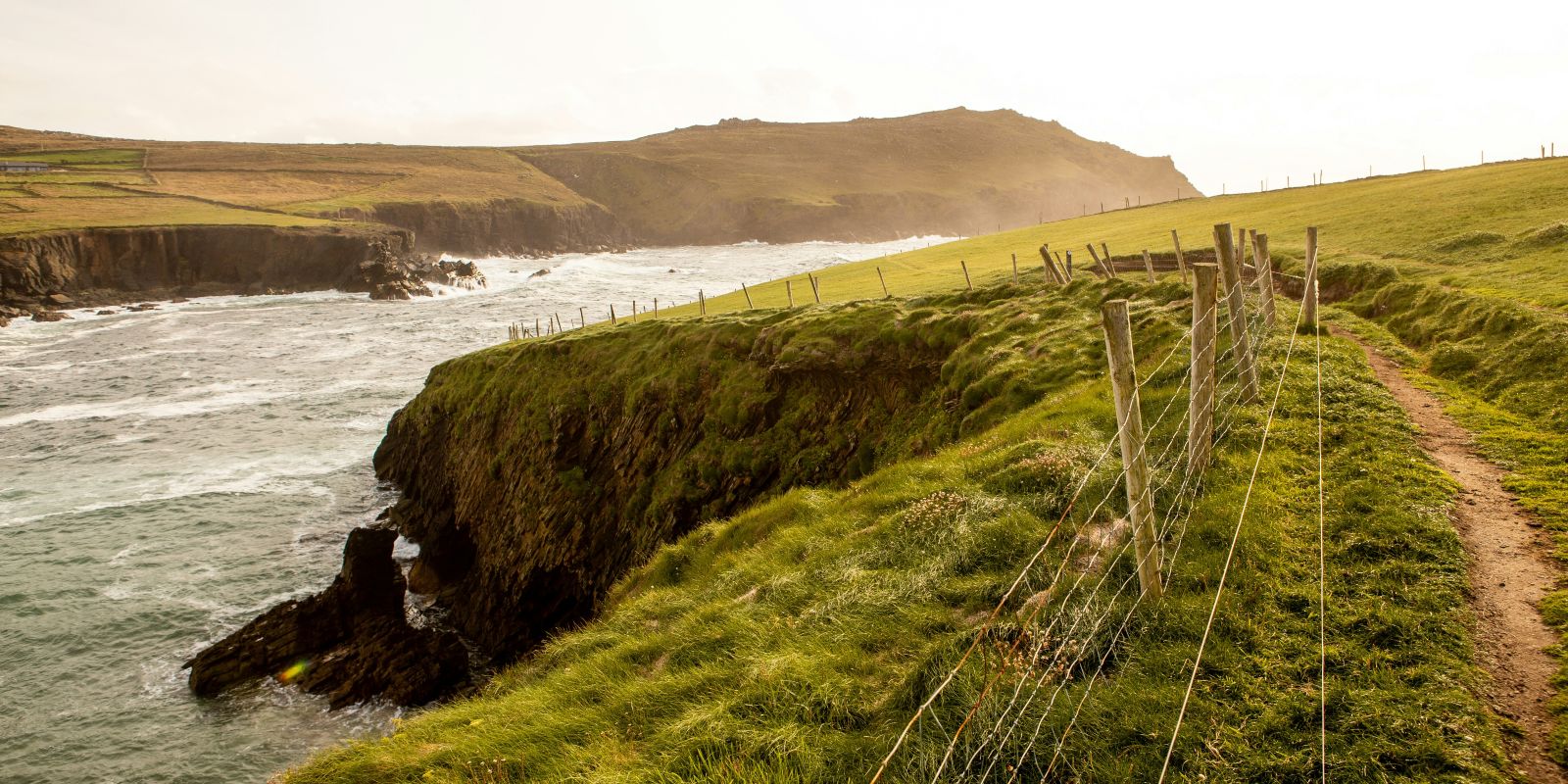
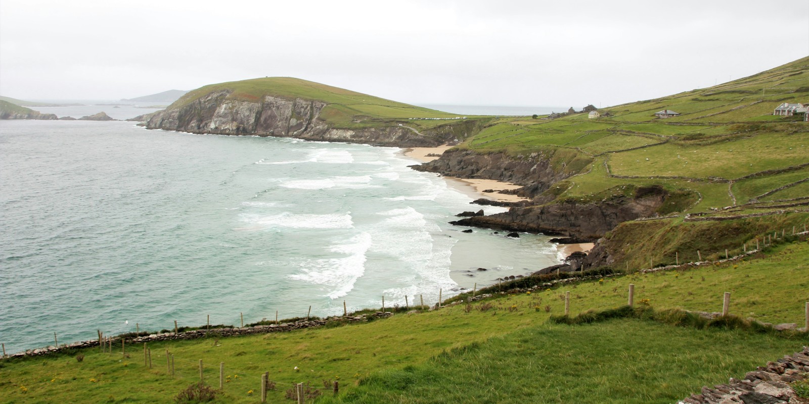
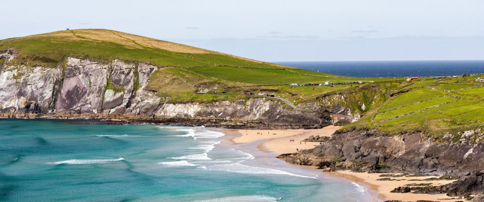
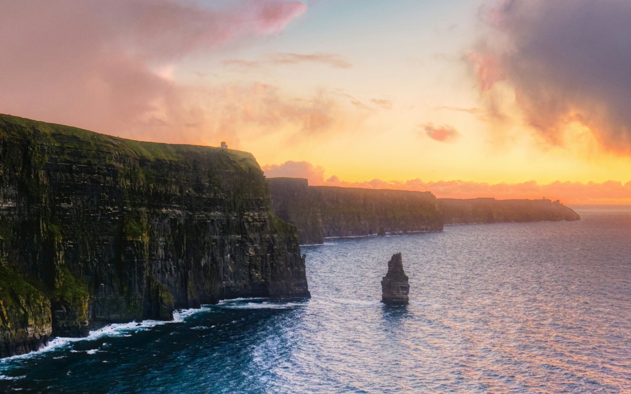
From Dingle, the trail continues westward along the coast towards Dunquin. This 20-kilometer stretch offers some of the most beautiful scenery on the entire trail, including views of the Blasket Islands and Slea Head, the westernmost point of Ireland. The trail follows country roads and coastal paths, with plenty of opportunities to stop and take in the coastal views.

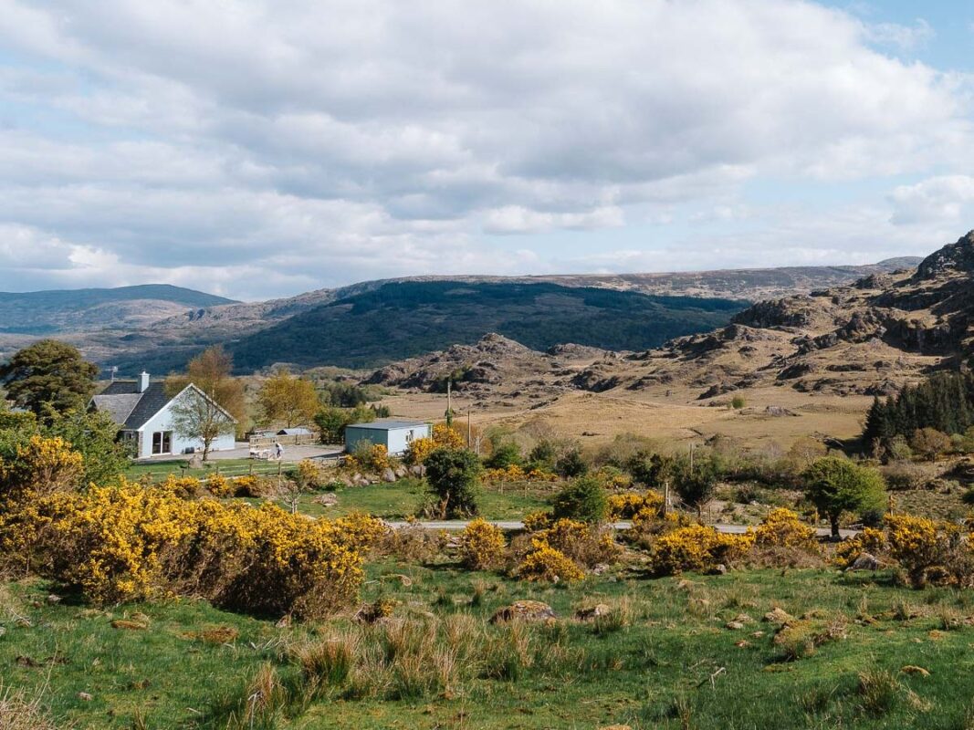
The stage from Dunquin to Ballycurrane takes hikers through more remote and rugged terrain, gradually moving inland. As you approach Ballycurrane, you’ll be preparing for the ascent of Mount Brandon, the highest peak on the Dingle Way and a significant challenge.

The hike from Ballycurrane to Cloghane includes the ascent of Mount Brandon. At 950 meters, it’s the highest point on the trail, offering panoramic views of the peninsula. The climb is steep and can be challenging, especially in poor weather conditions. Proper preparation is always essential. Once you reach the summit, the descent into Cloghane is rewarding, with views of the Brandon Bay and the surrounding mountains.

The stretch from Cloghane to Castlegregory is a long but relatively flat stage, following roads and coastal paths. This section takes you along Fermoyle Strand, one of the longest beaches in Ireland, and through the Maharees Peninsula, known for its dunes and wildlife. The walking here is peaceful and offers a welcome respite after the rigors of Mount Brandon.

The final stage of the Dingle Way takes you from Castlegregory back to Tralee. The section is mostly flat, following the coast before rejoining the trail’s outward route near Camp. The trail ends in Tralee, where you can celebrate completing one of Ireland’s most scenic and long-distance trails.

Stages

You can choose your own itinerary on the Dingle Way.  This is the most used itinerary if you want to hike the trail in 8 days.

Dingle Way 8-day itinerary

Stage 1:

Tralee – Camp, 18 km | 11 mi

Stage 2:

Camp – Annascaul, 17 km | 10.5 mi

Stage 3:

Annascaul – Dingle, 22 km | 13.5 mi

Stage 4:

Dingle – Dunquin, 20 km | 12.5 mi

Stage 5:

Dunquin – Feohanagh, 22 km | 13.5 mi

Stage 6:

Feohanagh – Cloghane, 22 km | 13 mi

Stage 7:

Cloghane – Castlegregory, 29 km | 18 mi

Stage 8:

Castlegregory – Tralee, 27 km | 17 mi

Accommodations

Accommodation along the Dingle Way is plentiful, with a range of guesthouses, bed-and-breakfasts, and small hotels in most villages and towns. Dingle and Tralee offer the widest variety of services, including shops, restaurants, and pubs. Many hikers choose to book accommodation in advance, particularly during the summer months when the trail is at its busiest.

Camping on the Dingle Way

It’s possible to stay at the campsites along the Dingle Way. Note that there’s not always a campsite nearby if you follow the classic 8-day itinerary.

Best time of the year

The best time to hike the Dingle Way is between April and September when the weather is mild, and the days are longer. July and August are the warmest months, but also the busiest. The trail can be hiked outside these months, but expect shorter daylight hours and a higher chance of rain, wind, or fog, especially in the more exposed sections around Mount Brandon.

Safety & Gear

The weather along the Dingle Way can be highly variable, with rapid shifts that may impact visibility and trail conditions. Make sure to check the weather forecast before you set out each day, and be ready for all conditions, from rain and wind to storms, even in the summer.

Wear sturdy hiking boots with good traction, as the terrain can be rocky and uneven. Dress in layers to easily adapt to changing temperatures, and bring waterproof clothing to stay dry. Pack essential items in your backpack, including extra food and water, a first aid kit, and a lightweight emergency shelter.

Ensure you’re physically ready for the trail’s demands. The Dingle Way features long stretches and some challenging climbs. Build up your endurance with shorter hikes and gradually increase your distance in the weeks leading up to your trip. Pay attention to your body, take breaks when needed, and enjoy the journey.

Good to know

The Dingle Way is best hiked in spring or early autumn. Summer can be quite busy, so it’s smart to book your accommodations ahead of time. The villages are small, and affordable places to stay can be scarce. Wild camping is not allowed, and there aren’t many camping spots along the trail, so it’s best to plan on staying in local accommodations. Bringing a tent is an option, but you’ll still need to book most of your nights at hostels or guesthouses along the way. For budget-friendly stays, the hostels on the Dingle Way are a great choice.

Want to submit a trail or make this page more complete?

Comments

Be the first one to comment on this trail!

Reply to this trail

Your email address will not be published. Required fields are marked *

Reply to this trail

Log in to comment on this trail
Always read the disclaimer

Terms of Use: important to all visitors on this website. We strive to publish high quality content and information on this website. However it’s always possible that we’re missing out on some crucial information. In spite of the fact that this route, associated GPS track (GPX and maps) were prepared under diligent research by the specified contributor and/or contributors, the accuracy of such and judgement of the author is not guaranteed. Therefore, hiking-trails.com and contributors are in no way liable for personal injury, damage to personal property, or any other such situation that might happen to individuals hiking or following this route. Should you choose to hike this trail, this is always at your own risk. Check out our guidelines for safety hiking and Leave No Trace principles at the hiking 101 page.

Download GPX

Join the community!

Login or create a FREE account 😊

With an account you can:

Download GPX files

Pin trails to your wishlist

Mark trails as hiked by you

Rate hiking trails

Comment on trails, blogs and gear reviews

Happy trails!
Login

Don't have an account yet? Register here