About the North South Trail

country
Germany
length
3582 km(2226 mi)
Type of trail
Thru-hike, Long-distance
difficulty

Difficulty is highly personal. Be aware of the weather conditions as bad weather turns easier trails in difficult trails especially in the mountains.

Difficult
accommodation

Lodging means a mix of hotels, hostels or AirBnB’s.

Camping, Lodging
Elevation gain
92000 m(301837 ft)
terrain
Hills, Forest, Mountains
remoteness
Some of the time
Show more

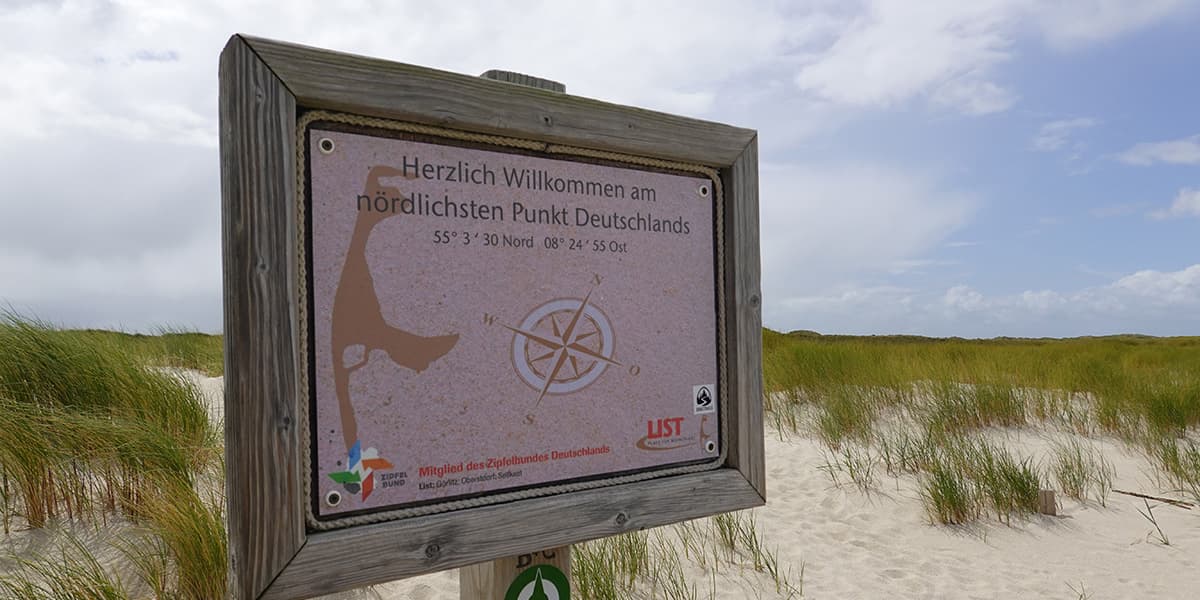
After two years of dedicated planning, a group of passionate hikers established the North South Trail (NST) in 2020. The NST connects existing hiking paths into one extraordinary long-distance trail across Germany. Spanning 3,528 kilometers, it stretches from Sylt in the north to Haldenwanger Eck in the south. As Germany’s longest trail, the NST offers a genuine thru-hike experience.

What sets this trail apart is its origin. It was created by hiking enthusiasts, not by a club or non-profit organization. Initially, the trail had no official markings because it linked pre-existing paths. However, due to its rising popularity and enthusiastic volunteers, sections of the trail have been marked officially since 2022.

women in blue smiling at camera
Editor

Katie Mitchell

After a whirlwind of 8 years on the road (and trail!), Katie has hiked the Camino Frances, the Peaks of the Balkans, the Fisherman’s Trail, and extensively in the United States. She is an avid trail runner and now lives in Colorado where she plays in the mountains in her free time. You can follow her adventures on Instagram.

View profile

The Trail

Germany, because of its high population density, lacks true wilderness. If you’re seeking untouched, desolate landscapes, this country might not be your destination. However, Germany has some awesome nature, diverse hiking trails, and a rich history visible at every turn. You’ll encounter ancient castles, medieval towns, and paths walked for centuries. The North South Trail offers the best of both worlds—natural beauty and solid infrastructure.

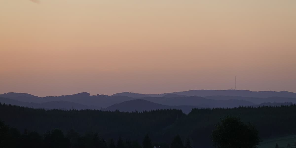
The NST’s diverse landscapes, combined with Germany’s culture and history, make it a unique trail. Highlights include the North German coastline, the heather fields, rolling hills, the Rhine region, the Palatinate Forest, the Black Forest, Hegau, Lake Constance, and the Alps. It may not be the wildest trail, but it’s certainly one of the most varied.

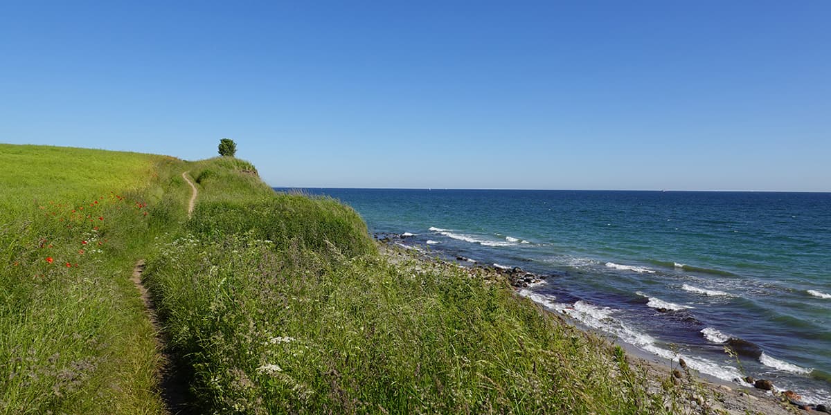
The NST begins on Sylt, a small North Sea island near the Danish border. This first segment, covering Schleswig-Holstein, may come as a surprise with its many lakes and river landscapes. After 600 kilometers, you’ll cross Hamburg, Germany’s second-largest city.

The middle section traverses Lower Saxony, North Rhine-Westphalia, and parts of Hesse. Near Hamburg, you’ll hike through the beloved Lüneburger Heide. In Lower Saxony, you’ll cross Steinhuder Lake, the largest lake in North Rhine-Westphalia at 29.1 square kilometers. Continuing to Porta Westfalica, you enter Germany’s low mountain ranges. Completing this 1,161-kilometer stretch, you pass through the Weserbergland, Rothaar Mountains, and Siegtal. Not too shabby!

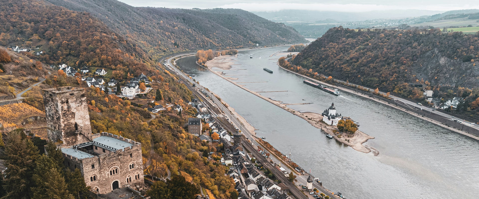
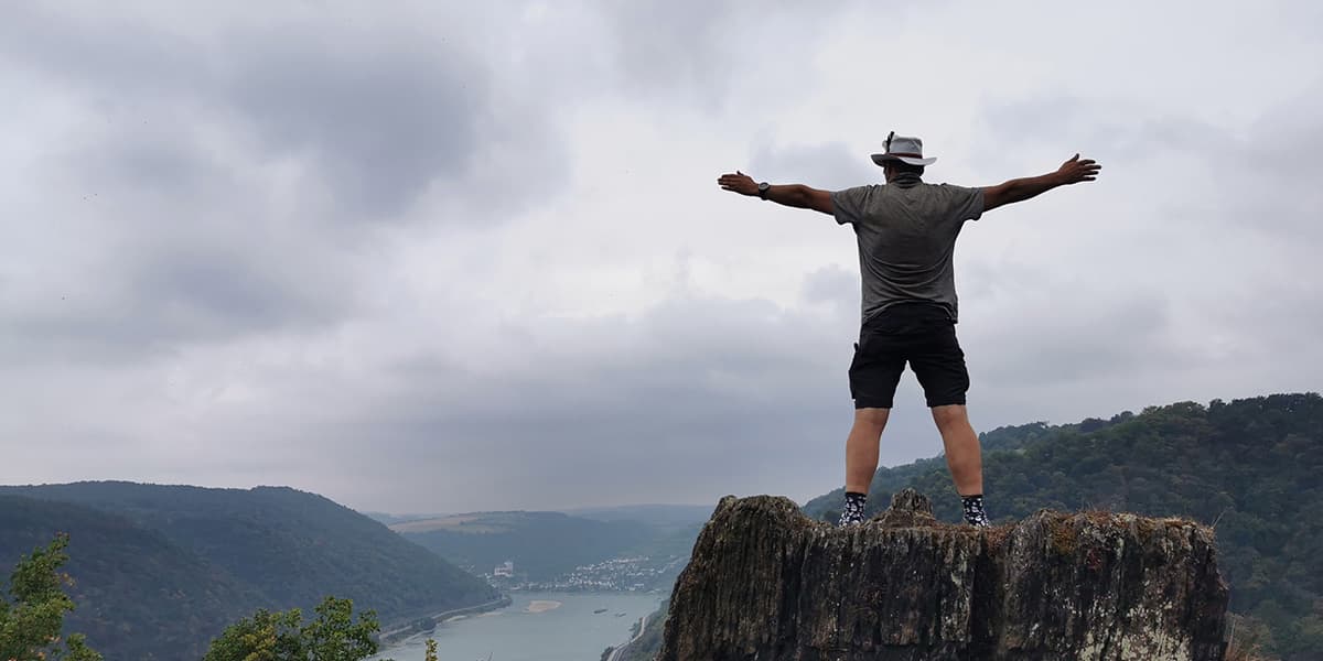
In the west, the trail runs through Rhineland-Palatinate and Saarland. Following the Rhine River from Bonn to Rüdesheim, you cross the Siebengebirge, Lower Middle Rhine Valley, and UNESCO Upper Middle Rhine Valley. The Upper Middle Rhine has lots of medieval castles and ruins. Known for its romantic landscapes, the Middle Rhine will lead you to the Soonwald in Hunsrück and then to Saarland. The NST then crosses St. Wendeler Land, reaching the Palatinate Forest and the famous Palatinate Wine Trail. This path takes you through Germany’s largest forest area and significant wine regions. Arriving in Pforzheim, the “Golden City,” you will begin the final stage.

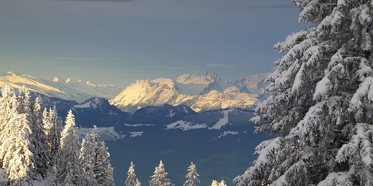
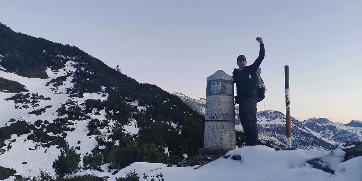
Finally, the trail covers Baden-Württemberg and Bavaria. Starting in Pforzheim, the Westweg leads into the Black Forest, Germany’s largest and highest low mountain range with over 100 peaks above 1,000 meters. Traversing the gorge trail, sturdy shoes are a must! The NST then heads through Allgäu and along Lake Constance before climbing into the higher Alps. After 3,582 kilometers, you reach the trail’s end at milestone 147 in Haldenwanger Eck.

Stages

The North South Trail is comprised of 35 different pre-existing trails throughout Germany. The path is broken down into 28 sections that were put onto a stamp card you can complete as you thru-hike (or section-hike!) the trail.


  • Sylt-Flensburg
  • Flensburg – Hamburg
  • Hamburg
  • Heidschnuckenweg
  • Steinhuder Meer
  • Der Sigwardsweg
  • Weserbergland-Weg
  • Kassel-Schwalm-Eder Kreis
  • Waldeck – Frankenberg
  • Rothaarsteig
  • Lahn-Dill-Bergland-pfad
  • WesterwaldSteig
  • Natursteig Sieg
  • Rheinsteig
  • Soonwaldsteig
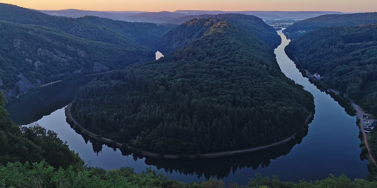
  • Saar-Hunsrück-Steig
  • Kreis Merzig-Wadern-St. Wendel
  • Kreis Kusel und Donnersberg
  • Pfälzer Weinsteig
  • Germersheim / Karlsruhe-Enzkreis
  • Westweg
  • Main-Neckar-Rhein-Weg
  • Schluchtensteig
  • Hegau
  • Bodensee. Rundwanderweg
  • Kreis Lindau
  • Oberallgäu
  • Haldenwanger Eck

Accommodations

Wild camping is not allowed in Germany. However, camping in or near shelters is generally tolerated, except in Schleswig-Holstein, where camping outside national parks and nature reserves is permitted. In Germany, you don’t need a separate permit or license to cross national parks or nature reserves.

You’ll also be able to stay in hotels and B&Bs along the way in many of the villages and cities you pass. Not every night, but fairly often!

Best time of the year

A great time to start your hike on the North South Trail is in early to mid-April. By mid-September, snow can fall at the trail’s end point in the Alps. Given the time it takes to complete the entire route, starting even a week later can be risky due to weather. Naturally, this depends on your pace. If you start earlier, between January and March, you’ll need to consider your gear carefully. It can get very cold, especially in the north during this period.

Safety & Gear

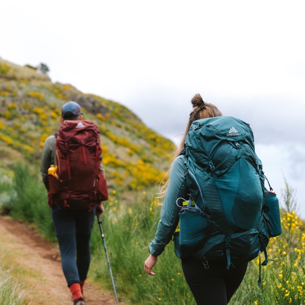
This is not a technical trail, so you won’t need to bring any extra gear. You’ll likely want to pack as light as possible and follow our thru-hike packing list. Because the North South Trail stays low and isn’t technical, it’s suitable as a first thru-hike for beginning hikers. But that doesn’t excuse you from proper training and preparation! Make sure to research the trail before you go, including looking over the maps, planning your daily stages, and sending someone you trust your itinerary.

Because the trail isn’t fully signmarked, you’ll also want to download the GPX to a navigation device (phone works) and have backup charging options for the device. The trail links many other official trails, so sometimes you’ll be following those signs instead of the NST ones.

Good to know

The North South Trail doesn’t have consistent markings throughout its entire length yet. You’ll rely on local trail markings, which vary by region. Starting in 2022, the trail began to feature its own markings, but the local ones remain more prominent. We recommend hiking with a GPS, even though Germany boasts a well-marked network of hiking trails.

There are plenty of water points in restaurants and villages along the way, but bring a filter just in case because the villages don’t usually clean the water in their fountains and you’ll want to fill up at streams along the way, too.

Route
Point to point
Highest point
1,933m (6.342 ft)

Want to submit a trail or make this page more complete?

Join the community!

Login or create a FREE account 😊

With an account you can:

Download GPX files

Pin trails to your wishlist

Mark trails as hiked by you

Rate hiking trails

Comment on trails, blogs and gear reviews

Happy trails!
Login

Don't have an account yet? Register here