view of Neuschwanstein Castle in Germany

Water Strider Route

Wasserläuferroute

About the Water Strider Route

Alps
country
Germany
length
382 km(237 mi)
Type of trail
Long-distance
difficulty

Difficulty is highly personal. Be aware of the weather conditions as bad weather turns easier trails in difficult trails especially in the mountains.

Moderate
accommodation

Lodging means a mix of hotels, hostels or AirBnB’s.

Lodging, Mountain huts
Elevation gain
11237 m(36867 ft)
terrain
Mountains, Forest, Hills
remoteness
Some of the time
Show more

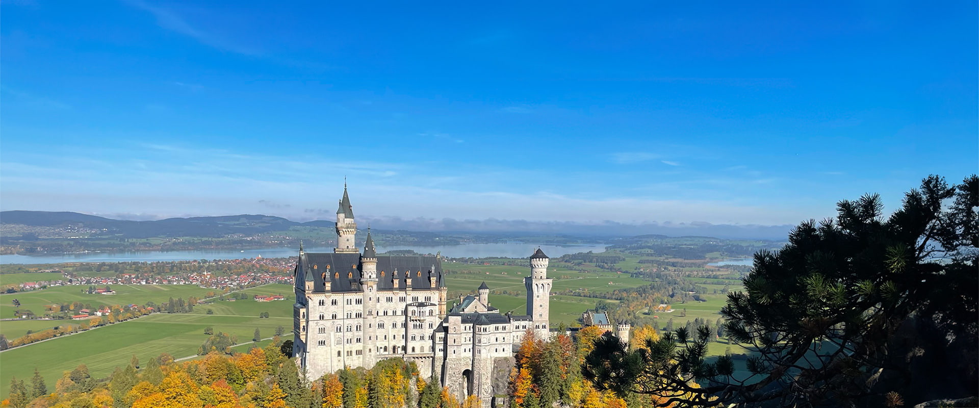
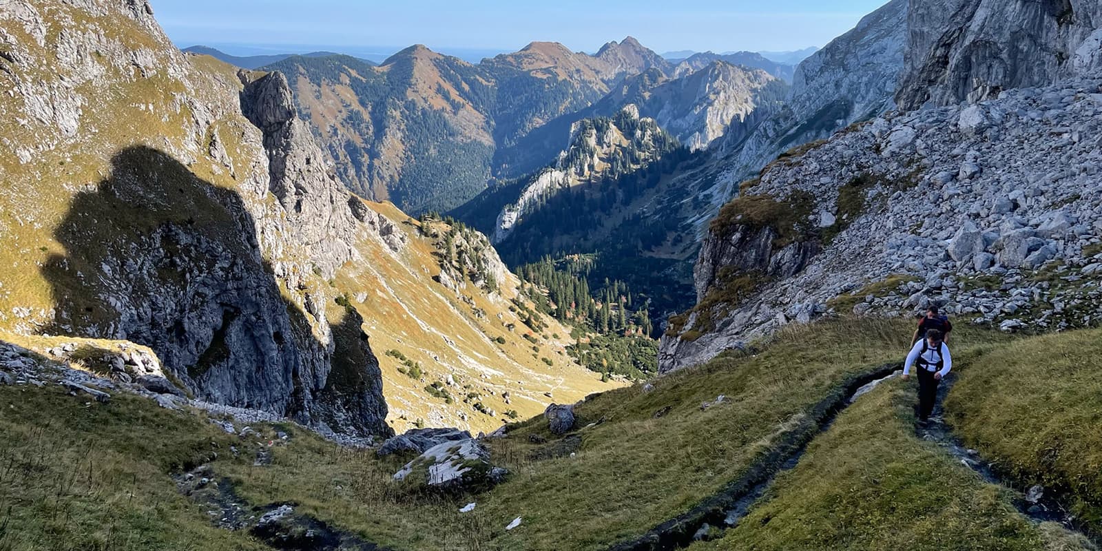
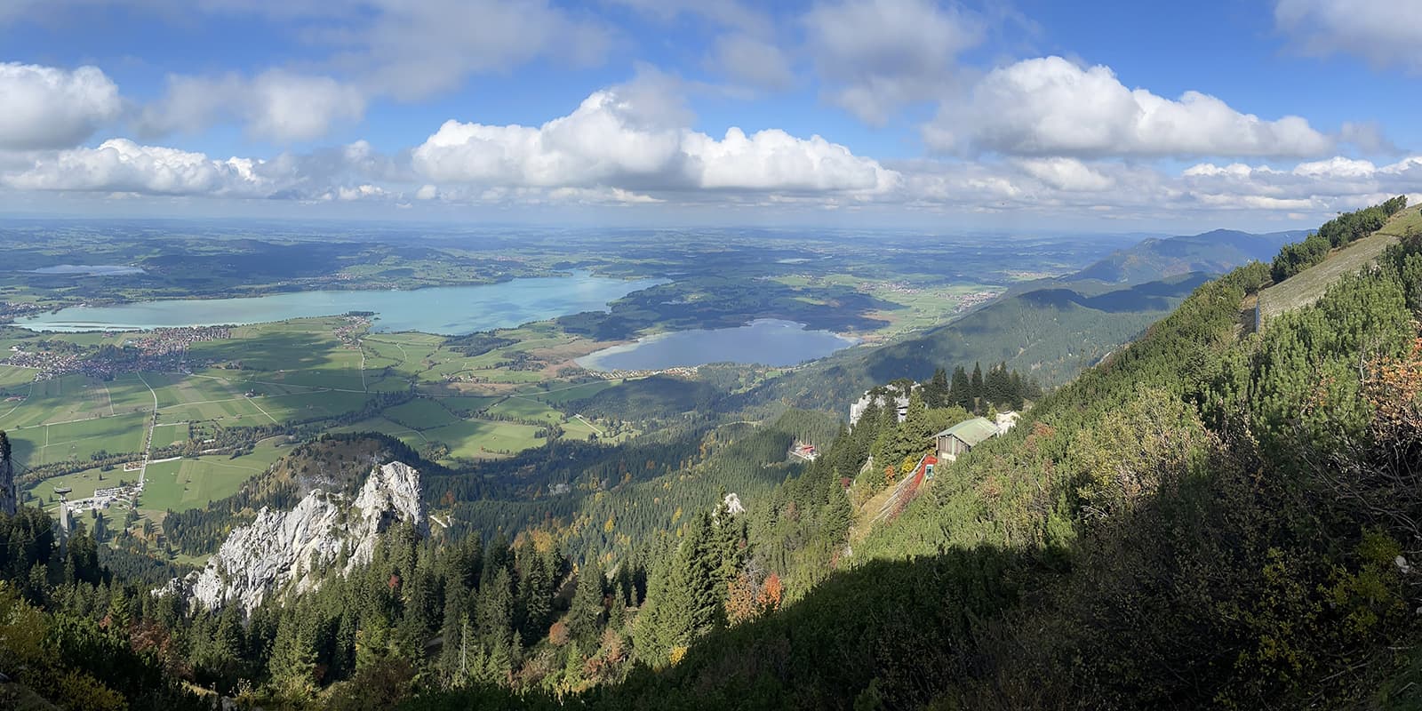
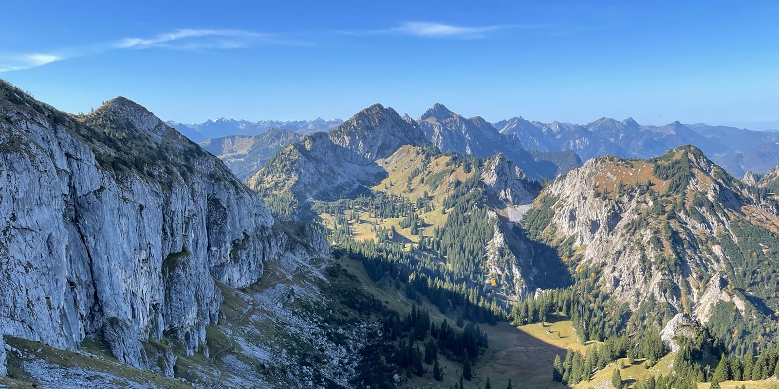
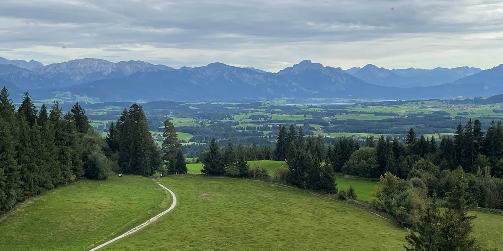
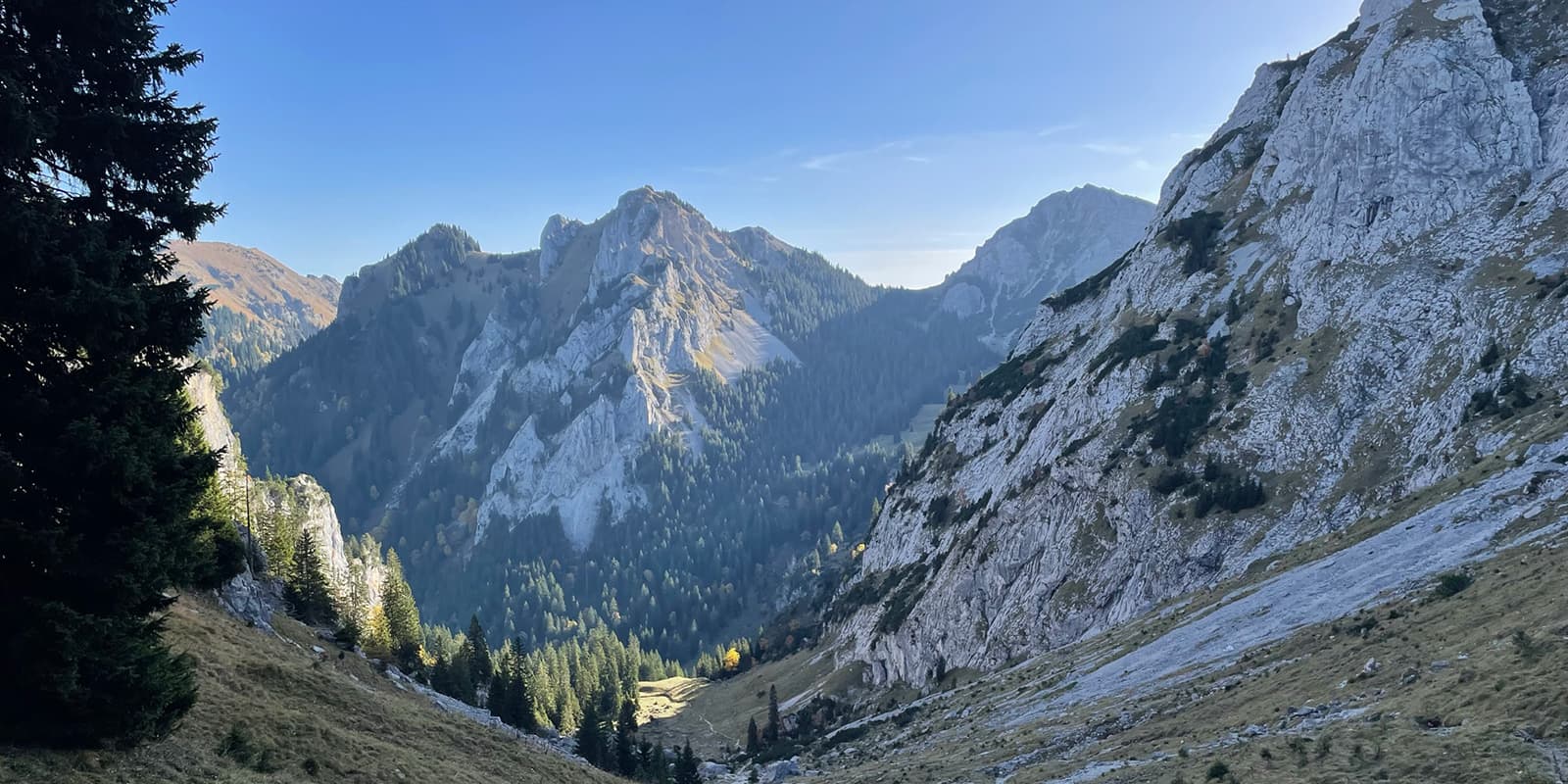
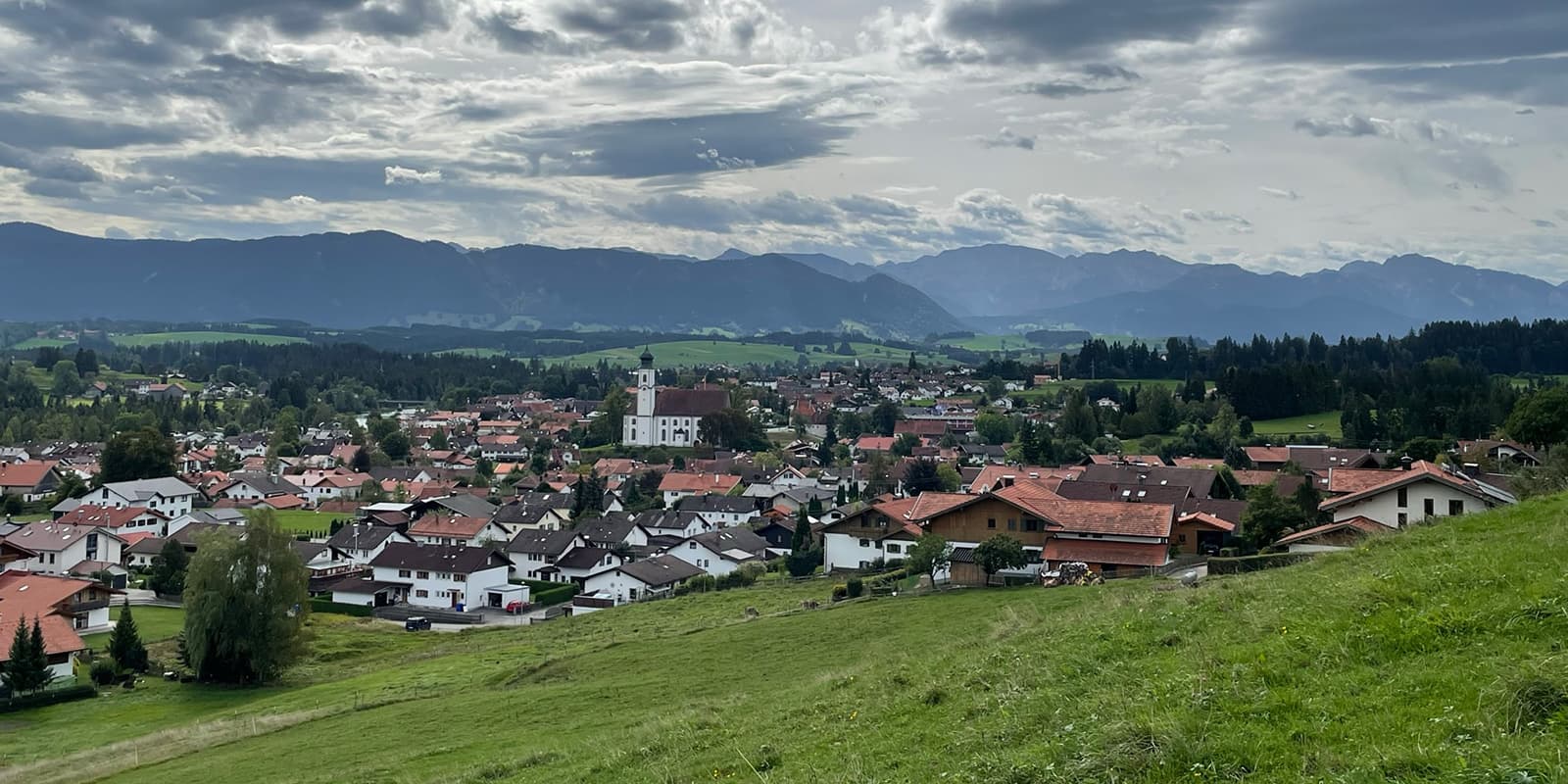
Nestled in the wide valleys, the foothills of the Alps rise towards the mountains. The route leads past lakes and through impressive gorges to hills and panoramic peaks, often offering fantastic views of the mountains and the region’s many castles and fortresses.

The Hiking Trilogy Allgäu is a unique network of trails in the Allgäu region of southern Germany, established to showcase the area’s natural beauty and cultural heritage. Officially formed in 2014, this trilogy offers a comprehensive hiking experience across three distinct themed routes: Wiesengänger, Wasserläufer, and Himmelsstürmer.

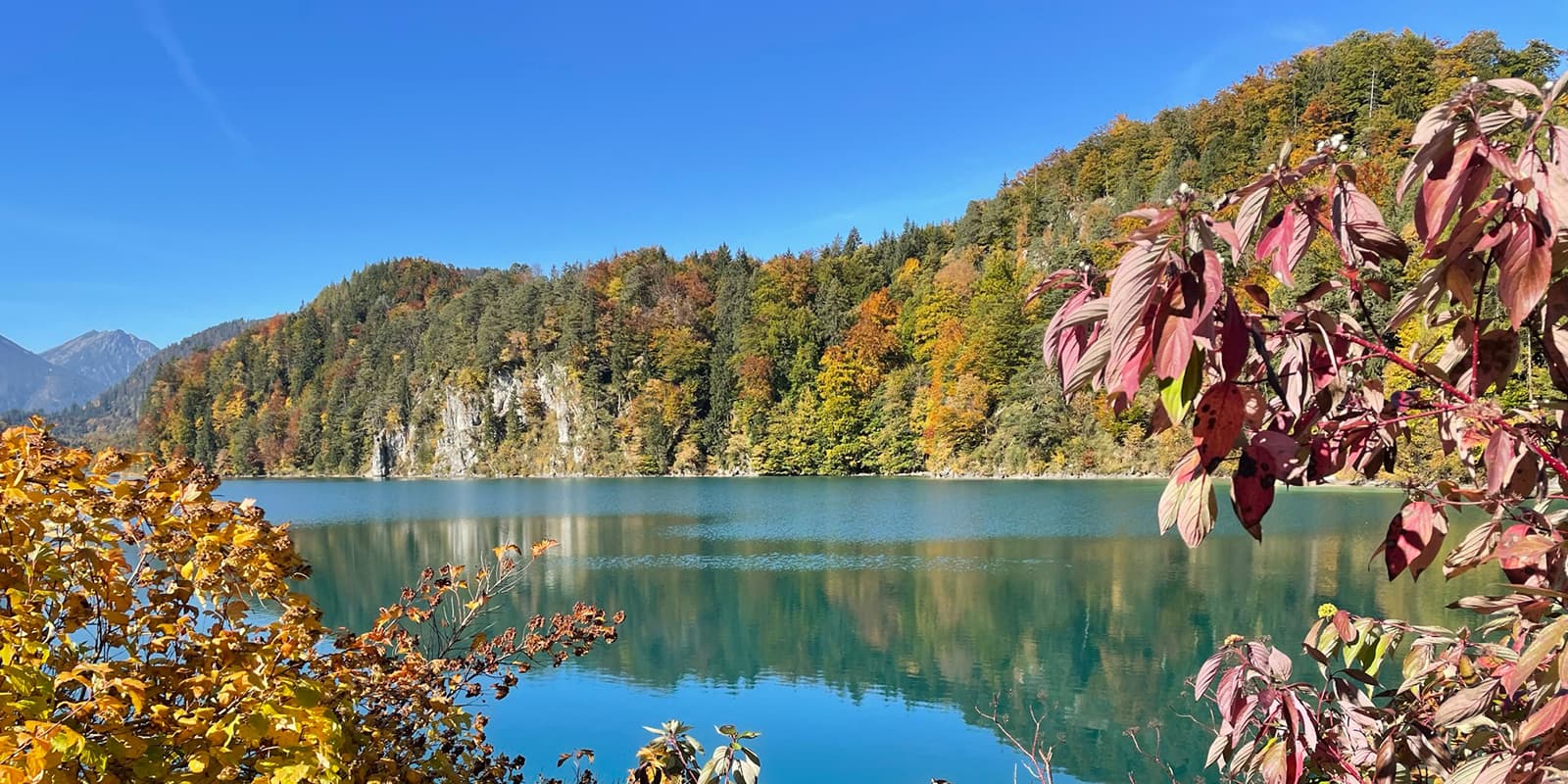
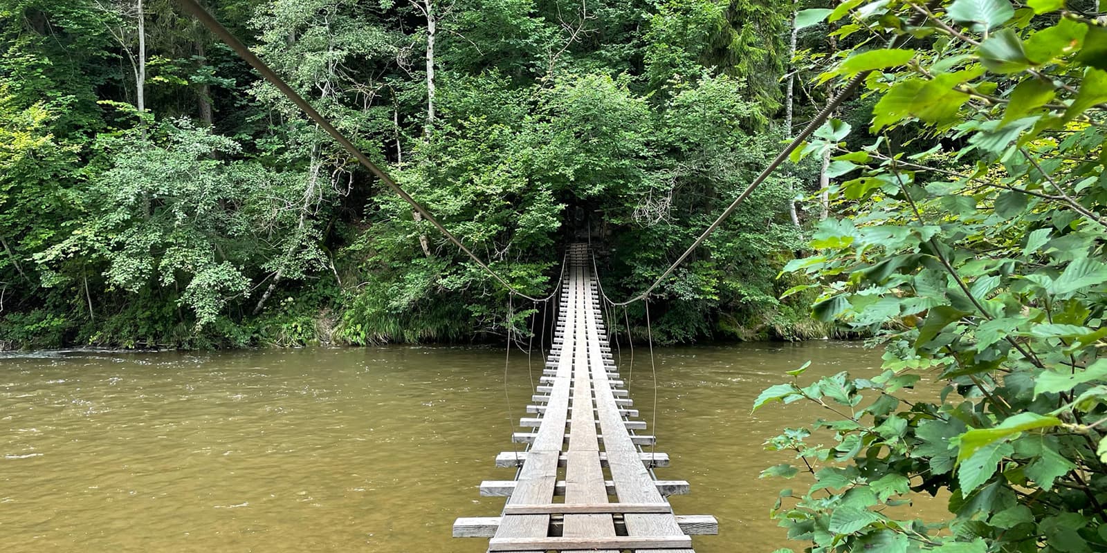
Focused on the region’s waterways, the Wasserläufer route follows rivers, lakes, and waterfalls. This trail highlights the importance of water in shaping the landscape and local culture. You will encounter streams, lakes, and the occasional waterfall, making it a refreshing month hiking through the Allgäu.

Andreas Scholz profile picture
Author

Andreas Scholz

Andreas Scholz was born in a small Swabian village in Germany. It wasn’t until the age of 35 that he began to discover the big wide world, and since then he has been traveling the most diverse long-distance hiking trails in Germany.

You can follow Andi on Instagram @startthetrail.wanderblog

View profile

The Trail

The water strider route starts in Marktoberdorf. From there, the route takes you over the first mountains but is still relatively flat via Stötten am Auerberg, Lechbruck, and Halblech. The trail then plunges into the Ammergebierge, where you can spend a wonderful evening in the high mountains at the rustic and cozy Kenzenhütte. Now you have to climb over the Gabelschrofen saddle to the Tegelberg, where you can spend the night at the Tegelberghaus with its stunning views of the foothills Alps and the Schwangau.

From Tegelberg mountain, you descend over 1,200 meters in altitude past the Marienbrücke bridge with a fantastic view of Neuschwanstein Castle into the valley to Füssen. On the way to Pfronten over the Zirngrat ridge, you can explore the Falkenstein ruins at 1,200m, before crossing the Alpspitze (1.575m) through a wild gorge and past the Grüntesee lake to Oy-Mittelberg.

Now you climb the Grünten (1,738m) – the guardian of the Allgäu – and hike through Burgberg and Sonsthofen to the Alpe Gund, where you can spend another night in the tranquillity of the high mountains at 1,500m.

From here, it’s with a heavy heart that we leave the high mountains. However, we gain a few meters of altitude in the following stages and explore the incredible nature of the Allgäu. We walk from Obereute through the Hausbachklamm to Weiler-Simmerberg and on to Scheidegg. Via Lindenberg an Eglofs, we arrive in Isny, where we can admire the well-preserved old town, including the medieval town wall, and the wild-romantic Eistobel gorge.

The route takes you over the Schwarzengrat ridge (1,118m) to Ermengerst, Durach, Görisried and Leuterschach. This is often a flat walk through the typical moorland of the foothills of the Alps. The final stage takes us back to the starting point in Marktoberdorf.

Stages

The Water Strider Route has 26 official stages. There are variations for many of these stages to customize your hike to your liking. If you prefer to lengthen days or go for shorter options, that’s possible! You can find a full list of the stages and their alternatives here.

Accommodations

There are many restaurants, hotels, inns, guesthouses, and private rooms in all price categories along the way, and these can be found at tourist information centers. German cuisine is a must, with classics such as Zwiebelrostbraten, Kaiserschmarrn, and Käsespätzle. Some accommodation providers even offer a pick-up and delivery service for longer stays.

On some of the stages you will be able to spend the night in a remote, serviced mountain hut, although these should be booked in advance:


Best time of the year

The best time of the year to hike the Water Strider Route is undoubtedly in summer and early fall. As you’re hiking in the mountains, be aware that there might be snowfields in early summer and there might be early snowfalls in autumn. Generally, the hiking season in the European Alps is limited to the summer months when the weather is milder and the snow has melted, making the trails accessible.

Keep in mind that the weather in the high mountains can change rapidly, and it’s essential to be prepared for various conditions, including sudden rain or snow showers. Always check trail conditions, and local weather forecasts before embarking on a high-alpine hike. Additionally, consider your hiking experience and skill level, as some trails in the Allgäuer Alps can be challenging and require proper equipment and experience.

Safety & Gear

When planning this hike please consider several key factors to guarantee a secure outdoor adventure. Before embarking on your hike, conduct thorough research on your chosen trail. This includes assessing factors such as trail difficulty, length, elevation gain, and terrain. Gather valuable insights not only from this website, but also from guidebooks, hikers who hiked this trail already, and local hiking tourism organizations.

Effective planning is paramount. Share your hiking plans with your family or friends, providing details like your anticipated start and end times, chosen trail route, and emergency contact information. This information serves as a critical safety measure in case of unforeseen circumstances.

Stay informed about the weather conditions in the area where you intend to hike. Avoid embarking on your journey during severe weather conditions, including thunderstorms, heavy rainfall, or extreme heat, as these can pose significant risks to your safety.

Staying properly hydrated and nourished is essential. Ensure you have an ample supply of water and energy-rich snacks to maintain your energy levels and prevent dehydration and exhaustion. Bring at least two liters of water with you.

Familiarize yourself with the trail map and carry navigation tools such as a compass or GPS device to stay oriented and avoid getting lost.

Invest in the right hiking gear, including comfortable, supportive footwear, proper hiking clothing, such as warm base layers and a hardshell rain jacket, hiking poles, a well-fitted backpack, and essential equipment like maps, GPS devices (when needed), and a first-aid kit. Check out our comprehensive gear list for long-distance trails like this.

Respect the principles of Leave No Trace by minimizing your impact on the environment. Stick to designated trails, pack out all trash, and show respect for wildlife and natural habitats.

Good to know

Marktoberdorf is accessible by train and public transport. In addition, many stage towns are connected to a functioning rail or bus network. However, smaller towns are served less frequently or not at all, especially at weekends and on public holidays. Up-to-the-minute information can be found on the Deutsche Bahn app (DB Navigator).

With over 16 million overnight stays, the Allgäu is a tourist region, so there should be a good choice of hotels and restaurants in many towns during the holiday periods. However, it is advisable to book accommodation well in advance during peak holiday periods.

Route
Circuit
Highest point
1.916m (6.286 ft)

Want to submit a trail or make this page more complete?

Comments

Be the first one to comment on this trail!

Reply to this trail

Your email address will not be published. Required fields are marked *

Reply to this trail

Log in to comment on this trail
Always read the disclaimer

Terms of Use: important to all visitors on this website. We strive to publish high quality content and information on this website. However it’s always possible that we’re missing out on some crucial information. In spite of the fact that this route, associated GPS track (GPX and maps) were prepared under diligent research by the specified contributor and/or contributors, the accuracy of such and judgement of the author is not guaranteed. Therefore, hiking-trails.com and contributors are in no way liable for personal injury, damage to personal property, or any other such situation that might happen to individuals hiking or following this route. Should you choose to hike this trail, this is always at your own risk. Check out our guidelines for safety hiking and Leave No Trace principles at the hiking 101 page.

Download GPX

Join the community!

Login or create a FREE account 😊

With an account you can:

Download GPX files

Pin trails to your wishlist

Mark trails as hiked by you

Rate hiking trails

Comment on trails, blogs and gear reviews

Happy trails!
Login

Don't have an account yet? Register here