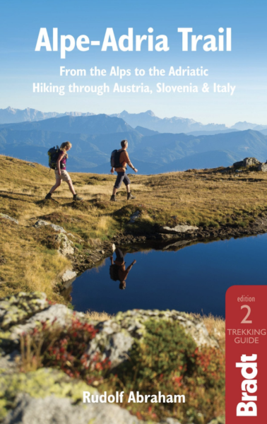
Rating
0 Rate this trail

About the Alpe Adria Trail

Alps
country
Austria, Italy, Slovenia
length
750 km(466 mi)
Type of trail
Thru-hike, Long-distance
difficulty

Difficulty is highly personal. Be aware of the weather conditions as bad weather turns easier trails in difficult trails especially in the mountains.

Moderate
accommodation

Lodging means a mix of hotels, hostels or AirBnB’s.

Lodging, Camping, Mountain huts
Elevation gain
24623 m(80784 ft)
terrain
Mountains, Forest
remoteness
Some of the time
Show more

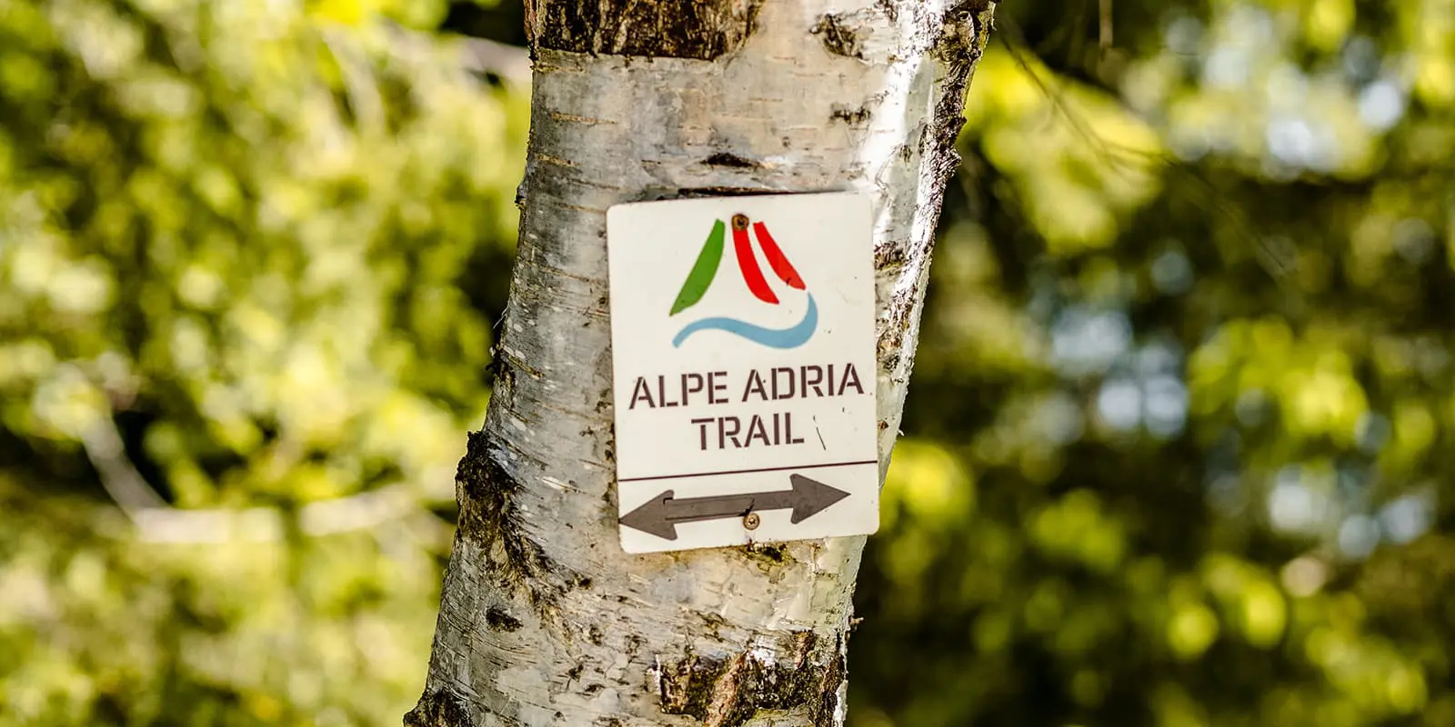
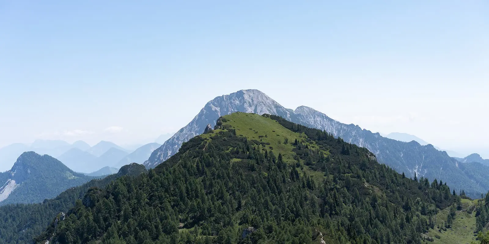
The Alpe Adria Trail extends across Austria, Slovenia, and Italy, starting at Austria’s highest peak, the Grossglockner, and ending at the Adriatic Sea in Muggia near Trieste, Italy. The trail is about 750 kilometers, divided into 43 stages. Each section is a unique view into these regions’ landscapes, cultures, and histories.

The trail is a relatively new hiking route, officially opened in 2012. It was conceived as a way to connect three distinct regions and follow ancient paths and trade routes that locals have used for generations. This is the perfect trail for a first-time long-distance hike. You’ll enjoy the mountains without it getting too technical, as well as have glacial and coastal environments all within one trek! The paths are wide tracks and sometimes 4×4, and even in the trickier sections like Triglav National Park, you won’t hike in exposed areas.

women in blue smiling at camera
Editor

Katie Mitchell

After a whirlwind of 8 years on the road (and trail!), Katie has hiked the Camino Frances, the Peaks of the Balkans, the Fisherman’s Trail, and extensively in the United States. She is an avid trail runner and now lives in Colorado where she plays in the mountains in her free time. You can follow her adventures on Instagram.

View profile

The Trail

The trail starts in the Grossglockner area, where you’ll immediately see glaciers, waterfalls, and high mountain passes. From the beginning, you’ll see that the paths are no walk in the park! The first 4 stages are easy to moderate difficulty, so you’ll have time to warm up, but then you’ll start some serious climbing from stage five.

You’ll see that the path will change as you move into Carinthia, Austria’s southernmost state. You’ll walk through valleys, villages, and lakes. This part feels more inviting and pleasant than the constant elevation switches in the Grossglockner region. You’ll stop at small towns, talk with locals, and enjoy regional dishes like Kärntner Nudeln.

Crossing into Slovenia, you enter Triglav National Park. Here, you’ll cross rivers, gorges, and forests. You’ll hike in the Julian Alps here, which can be a bit busy with day hikers, but otherwise are a paradise for long-distance hikers. The water is a shade of blue that will make you want to dive in after a long day hiking, so be prepared for lots of swimming stops when you’re by the rivers! The trail is well-marked, and you’ll pass plenty of mountain huts where you can stop for rest points.

In Friuli-Venezia Giulia, Italy, the trail changes again. This time, the mountains mix with Mediterranean influences. As you walk, you’ll notice the architecture, cuisine, and flora start changing. Vineyards and olive groves are more common, and you start to smell the sea.

The final stages are in Muggia and Trieste on the Adriatic coast. The mountains disappear into the sea, and you end the trail with a view of the coastline, and if you’re up for it, a dip into the water. The towns here are colorful and full of life, however, a bit louder than the quiet mountain villages of the last month. Enjoy some delicious Italian food and celebrate a trail well-hiked!

Stages

The Alpe Adria was carefully crafted to spend time in each of the three countries it passes through, showing you some of the most treasured alpine areas. You’ll see that there’s a variation to add on a 7-day loop in the Faaker See / Baumgartnerhöhe area. This is a great option if you’re looking to add more time and challenge to your hike!

37-stage itinerary

Stage 1:

Kaiser-Franz-Josefs-Höhe – Heiligenblut, 13.6 km | 8.5 mi

Stage 2:

Heiligenblut – Döllach, 12.8 km | 8 mi

Stage 3:

Döllach – Marterle, 18.4 km | 11.4 mi

Stage 4:

Marterle – Stall, 12.3 km | 7.7 mi

Stage 5:

Stall – Innerfragant, 20.2 km | 12.6 mi

Stage 6:

Innerfragant – Mallnitz, 23 km | 14.3 mi

Stage 7:

Mallnitz – Obervellach, 18.6 km | 11.6 mi

Stage 8:

Obervellach – Kolbnitz, 17 km | 10.6 mi

Stage 9:

Kolbnitz – Hühnersberg, 16.4 km | 10.2 mi

Stage 10:

Hühnersberg – Künstlerstadt Gmünd, 14.1 km | 8.8 mi

Stage 11:

Künstlerstadt Gmünd – Seeboden am Millstätter See, 18.1 km | 11.3 mi

Stage 12:

Seeboden am Millstätter See – Millstätter Alpe, 21.5 km | 13.4 mi

Stage 13:

Millstätter Alpe – Döbriach, 24 km | 15 mi

Stage 14:

Döbriach – Langalmtal, 17.3 km | 10.8 mi

Stage 15:

Langalmtal – Falkerthaus/Lärchenhütte, 14.7 km | 9.1 mi

Stage 16:

Falkerthaus/Lärchenhütte – Bad Kleinkirchheim, 19.3 km | 12 mi

Stage 17:

Bad Kleinkirchheim – Arriach, 19.1 km | 11.8 mi

Stage 18:

Arriach – Gerlitzen Alpe, 16 km | 9.9 mi

Stage 19:

Gerlitzen Alpe – Ossiach, 16.9 km | 10.5 mi

Stage 20:

Ossiach – Velden, 17.5 km | 10.9 mi

Stage 21:

Velden – Faaker See / Baumgartnerhöhe, 21.9 km | 13.6 mi

Option: Faaker See / Baumgartnerhöhe – Warmbad Villach, 15.1 km | 9.4 mi

Warmbad Villach – Nötsch, 20.6 km | 12.8 mi

Nötsch – Valbruna, 23.4 km | 14.5 mi

Valbruna – Tarvis, 19.5 km | 12.1 mi

Tarvis – Rifugio Zacchi, 18.5 km | 11.5 mi

Rifugio Zacchi – Kranjska Gora, 16.2 km | 10 mi

Kranjska Gora – Faaker See / Baumgartnerhöhe, 21.4 km | 13.3 mi

Stage 22:

Faaker See / Baumgartnerhöhe – Kranjska Gora, 21.6 km | 13.4 mi

Stage 23:

Kranjska Gora – Trenta, 22.6 km | 14 mi

Stage 24:

Trenta – Bovec, 21.3 km | 13.2 mi

Stage 25:

Bovec – Drežnica, 25.1 km | 15.6 mi

Stage 26:

Drežnica – Tolmin, 22.1 km | 13.7 mi

Stage 27:

Tolmin – Tribil Superiore, 19.3 km | 12 mi

Stage 28:

Tribil Superiore – Cividale, 23.9 km | 14.9 mi

Stage 29:

Cividale – Breg bei Golo Brdo, 13.2 km | 8.2 mi

Stage 30:

Breg bei Golo Brdo –- Šmartno, 26 km | 16.2 mi

Stage 31:

Šmartno – Cormons, 14.9 km | 9.3 mi

Stage 32:

Cormons – Gradisca d’Isonzo, 19.5 km | 12.1 mi

Stage 33:

Gradisca d’Isonzo – Duino, 27.4 km | 17 mi

Stage 34:

Duino – Prosecco, 23.8 km | 14.8 mi

Stage 35:

Prosecco – Lipica, 20.6 km | 12.8 mi

Stage 36:

Lipica – Bagnoli della Rosandra, 17.3 km | 10.8 mi

Stage 37:

Bagnoli della Rosandra – Muggia, 23.7 km | 14.7 mi

Accommodations

Due to the variety of the trail, you’ll have many options for where to sleep throughout your hike. In some sections, you’ll descend to valleys where you’ll have the choice between guesthouses, hotels, and hostels, and in some areas, you’ll have the option for mountain huts. In others, you’ll be able to camp at campsites, and still others you’ll find that camping will be forbidden. It’s prudent to check the laws of each country and region as you pass through. You can find our full guide to wild camping in Europe here. Wild camping is illegal in all three countries, but there are some exceptions!

Best time of the year

You can hike the Alpe Adria from late June through early September. Remember that the weather in the Alps can always be finicky, so it’s best to check what the conditions are looking like for your season before you book your accommodations. This specific region has also experienced extreme summer storms and flooding in past years, so plan accordingly and talk with other hikers who have been on the trail recently.

Safety & Gear

This trail is not technical and has wide paths and access to towns very easily. Because of this, it makes it more accessible for hikers who are new to the sport. However, it is still important to prepare adequately. You’ll want to pack for all possibilities. We recommend you take layers and rain clothes for afternoon storms, a sleeping bag liner if you plan to sleep in mountain huts, of course, an extra power bank, snacks (you can restock along the way), trekking poles, and a backpack that fits comfortably.

Additionally, create an itinerary for your hike and share it with someone you trust. Let them know if you deviate or take a route you hadn’t planned on before beginning. This is a great way to make sure someone always knows where you are.

Good to know

The Alpe Adria can be hiked with your furry friend! Dogs are allowed on the trail as long as they stay on their leashes. You can find dog-friendly accommodations using the official Alpe Adria database by looking for links with the paw print next to them.

There are enough water refill points on this trail as you pass through villages and from your accommodations, and there’s no need for filtering (unless you want to).

ROUTE
POINT TO POINT
HIGHEST POINT
2375M (7791 FT)

Guidebooks

Alpe Adria Guidebook

Alpe-Adria Trail

View guidebook

Want to submit a trail or make this page more complete?

Comments

Be the first one to comment on this trail!

Reply to this trail

Your email address will not be published. Required fields are marked *

Reply to this trail

Log in to comment on this trail
Always read the disclaimer

Terms of Use: important to all visitors on this website. We strive to publish high quality content and information on this website. However it’s always possible that we’re missing out on some crucial information. In spite of the fact that this route, associated GPS track (GPX and maps) were prepared under diligent research by the specified contributor and/or contributors, the accuracy of such and judgement of the author is not guaranteed. Therefore, hiking-trails.com and contributors are in no way liable for personal injury, damage to personal property, or any other such situation that might happen to individuals hiking or following this route. Should you choose to hike this trail, this is always at your own risk. Check out our guidelines for safety hiking and Leave No Trace principles at the hiking 101 page.

Download GPX

Join the community!

Login or create a FREE account 😊

With an account you can:

Download GPX files

Pin trails to your wishlist

Mark trails as hiked by you

Rate hiking trails

Comment on trails, blogs and gear reviews

Happy trails!
Login

Don't have an account yet? Register here