About the Alta Via 2

Dolomites
country
Italy
length
210 km(130 mi)
Type of trail
Long-distance, Hut to hut
difficulty

Difficulty is highly personal. Be aware of the weather conditions as bad weather turns easier trails in difficult trails especially in the mountains.

Difficult
accommodation

Lodging means a mix of hotels, hostels or AirBnB’s.

Mountain huts, Camping
Elevation gain
11800 m(38714 ft)
terrain
Mountains, Forest, Hills
remoteness
Some of the time
Show more

This great alpine itinerary, similar to the Alta Via 1, runs along the ridges of the Valle Isarco to the Piave, passing from the northern edges of the Dolomites to the pre-Alps overlooking the Veneto plain. It connects two enchanting alpine towns: Bressanone and Feltre. The itinerary runs through three provinces, Bolzano, Trento, and Belluno, and crosses 8 Dolomite groups, from the Sella massif to the Marmolada and the Pale di San Martino group to the Feltre Alps.

The Alta Via 2 is also known as “The Legendary Route,” in the wake of myths and tales handed down by the local populations: from the Odle cliffs, the mythical realm of the characters in the Ladin sagas, to the remote and high glacial basins of the Vette Feltrine.

Elisa, profile picture
Author

Elisa Cortelazzo

Born in the city, I was always annoyed by the streets crowded with cars, the buildings that hid the sky, and the rush of people. I soon realized that my place was no longer in Padova but in the white rocks of the Dolomites. So I used to spend the week at the University of Forest Sciences, and the weekend exploring the trails of the Wight Mountains because I wanted to get to know them in all their nuances.

It was my parents who took me to the mountains from an early age. They took me to Val di Zoldo, in the winter with skis on my feet and in the summer to walk, but… I hated it! I was annoyed, all I did was ask, “How much longer?” But then I grew up, and I discovered that walking is essential for me. Scouting then taught me about the outdoors and the satisfaction of long treks in tents. The Italian Alpine Club made me discover mountaineering and the world outside Val di Zoldo. But walking was never enough for me, I was hungry for trails, views, and adventures. So I accumulated experience and kilometers, and in 2021 I realized a dream I had cradled for years: in 3 months I crossed the Alps on foot, from Finale Ligure to Trieste, alone and sleeping in a tent!

On this trip, I searched for my way in these mountains, until I realized that there is nothing that gives me greater joy than bringing people up here and watching their astonished expressions in front of so much beauty. So at the end of the trip, I took the course to become an Environmental Hiking Guide, and now I bring people up here, where falling in love is easy.

View profile

The Trail

The second of the 11 official High Trails, this traverse is decidedly more demanding than its older sister, Alta Via 1. To look at them, they seem similar: the second one is only two days longer. But if you go into detail and study the times, height differences, and kilometers, you will immediately see that Alta Via 2 has more demanding stages. While the stages of Alta Via 1 can easily be combined, and a trained person can walk it entirely in 7 or 8 days, this will be impossible for the second Alta Via. In fact, only a well-trained person, ready to walk 7-8 hours a day, can expect to make the entire crossing in 13 days. On the other hand, for non ‘purists,’ some chairlifts can shorten some stages and give a bit of breathing space.

The technical difficulty is also greater: the Farangole ferrata is the only via ferrata officially on the trail, but there are numerous exposed sections, equipped paths, scree, and small rock passages. Forget the easy, comfortable, wide paths of Alta Via 1! Moreover, the crossing of the queen of the Dolomites, the Marmolada, is both a problem and an attraction: the official path bypasses it, with a long stretch on an asphalted road and a tedious ascent, but it leaves various possibilities open, among which the most inviting is certainly the crossing of Forcella del Ghiacciaio, and indeed of the glacier.

All in all, it is a beautiful, long, demanding, wild high route, which will delight the trained and experienced hiker. The views are exceptional from start to finish: from the imposing and famous Odle, the Marmolada, the only Dolomite glacier, the sharp Pale di San Marino, and the wild Vette Feltrine. A Dolomite ride without equal!

Stages

Plan your stages based on hut availability, when in the season you’re available, and only choose the via ferrata options when you feel comfortable completing them!

13-stage itinerary

Stage 1:

Bressanone – Rifugio Bressanone, 27 km | 16.7 mi

Stage 2:

Rifugio Bressanone – Rifugio Genova, 15 km | 9.3 mi

Stage 3:

Rifugio Genova – Rifugio Puez, 15 km | 9.3 mi

Stage 4:

Rifugio Puez – Rifugio Pisciadù, 10 km | 6.2 mi

Stage 5:

Rifugio Pisciadù – Rifugio Castiglioni alla Marmolada, 19 km | 11.8 mi

Stage 6:

Rifugio Rifugio Castiglioni alla Marmolada – Passo San Pellegrino, 24 km | 15 mi

Stage 7:

Passo San Pellegrino – Rifugio Mulaz, 14 km | 8.7 mi

Stage 8:

Rifugio Mulaz – Rifugio Rosetta, 8 km | 5 mi

Stage 9:

Rifugio Rosetta – Rifugio Treviso, 14 km | 8.7 mi

Stage 10:

Rifugio Treviso – Passo Cereda, 10 km | 6.2 mi

Stage 11:

Passo Cereda – Rifugio Boz, 14 km | 8.7 mi

Stage 12:

Rifugio Boz – Rifugio Dal Piaz, 15 km | 9.3 mi

Stage 13:

Rifugio Dal Piaz – Feltre, 19 km | 11.8 mi

Accommodations

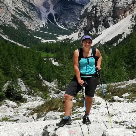
During the Alta Via 2, you will spend the night in typical Alpine huts, or ‘refuges.’ A hut is a structure for hikers, offering rest and refreshments to those who tackle long hikes. Do not expect luxury hotels! They are fairly bare facilities, but the hospitality of the managers, the beautiful views, and the good food will make you love your break.

The rooms are shared, as are the bathrooms. Showers are not always available, water is a precious commodity. You must bring a sheet bag for the night, and slippers. The average cost is 65 to 75 euros per night, including overnight stay, dinner, and breakfast. Don’t forget, before you leave, to take a sandwich with you for lunch!

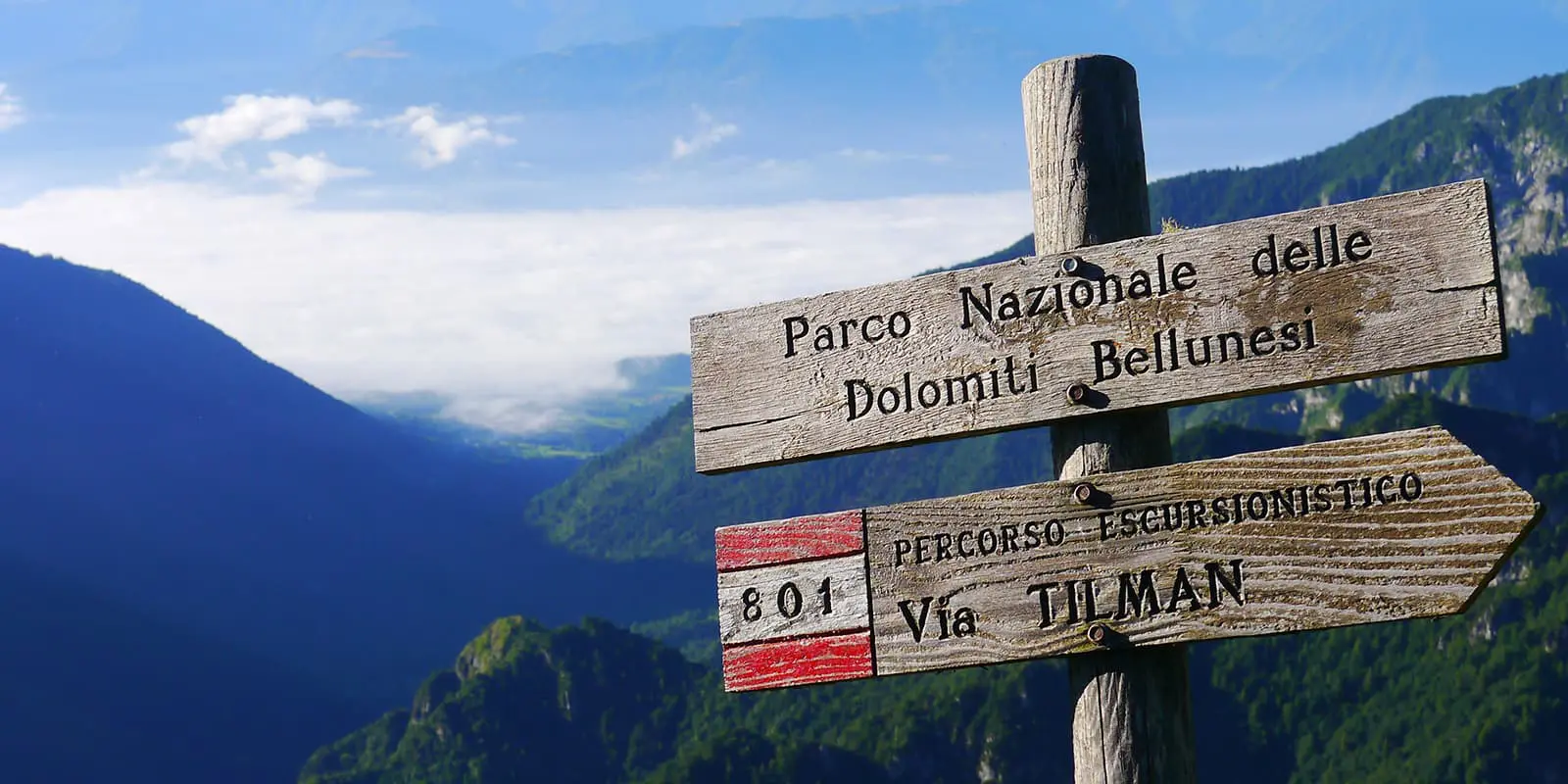
Reservations are compulsory, and best made in advance. Since the Dolomites are very busy, it is best to start booking huts as early as January/February.

The food is simple but tasty, don’t forget to try the typical pastin and grilled cheese!

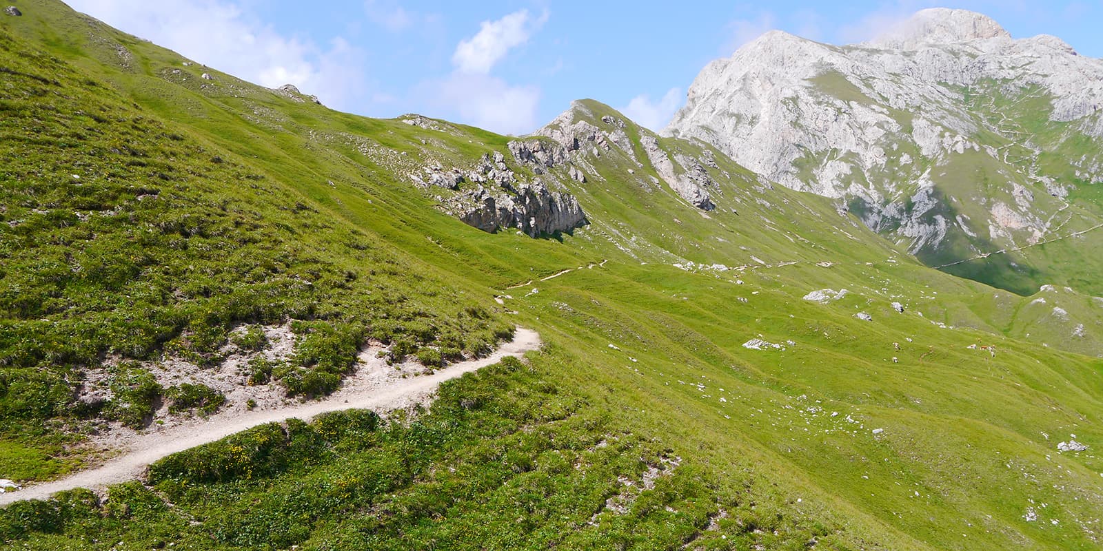
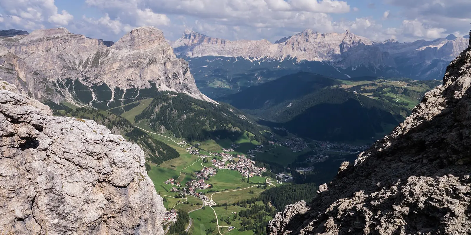
The division into stages is not strict. Between one refuge and another, there are usually 1 or 2 others, which allows you to change the stages according to your needs, or the availability of the refuges.

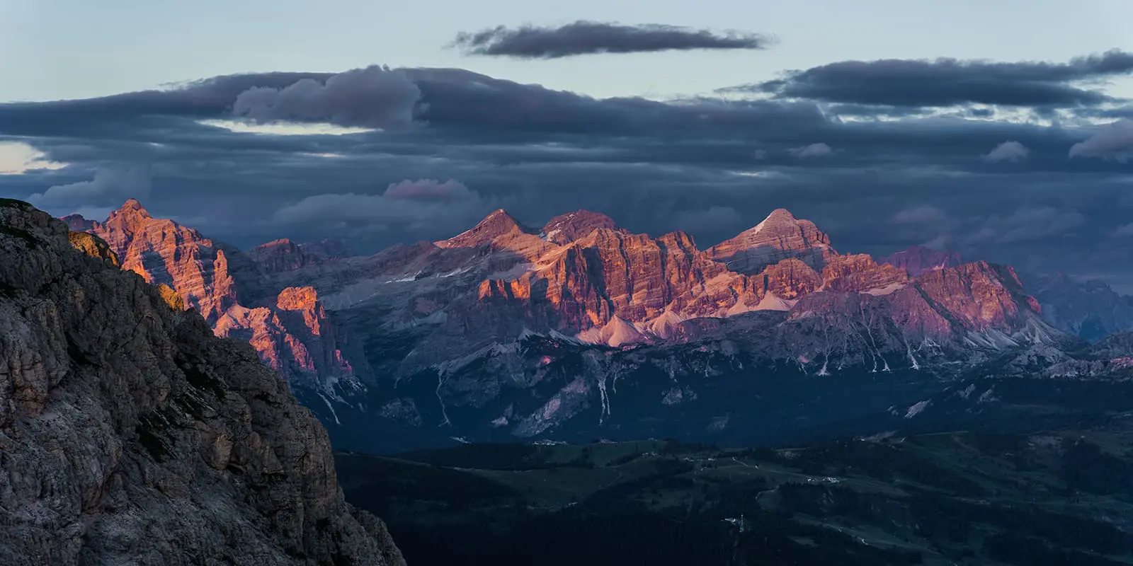
Camping on the Alta Via 2

Camping is prohibited throughout the Dolomites. However, since in recent years, the huts have not been able to accommodate all the requests they receive, so it is fairly tolerated. It is common to see people camping along the Alta Via. However, a guard may come and tell you to leave.

If you choose to tent, avoid crowded areas, always leave everything clean, take ALL your rubbish away (including apple cores and toilet paper), and never light fires. If you decide to stay near the hut, always ask permission (and maybe dine in the hut).

Overnights in the mountain huts/accommodations per stage:

Stage 2:

Rifugio Genova

Stage 3:

Rifugio Puez

Stage 7:

Rifugio Mulaz

Stage 8:

Rifugio Rosetta

Stage 9:

Rifugio Treviso

Stage 11:

Rifugio Boz

Stage 12:

Rifugio Dal Piaz

Best time of the year

The best time of the year to hike the Alta Via 2 is undoubtedly in summer and early September. As you’re hiking in the mountains be aware that there might be snowfields in early summer and there might be early snowfalls in late summer and early autumn. Generally, the hiking season in the European Alps is limited to the summer months when the weather is milder and the snow has melted, making the trails accessible.

Keep in mind that the weather in the high mountains can change rapidly, and it’s essential to be prepared for various conditions, including sudden rain or snow showers. Always check trail conditions, and local weather forecasts before embarking on a high-alpine hike. Additionally, consider your hiking experience and skill level, as some trails in the high Dolomites can be challenging and require proper equipment and experience.

Rifugios are usually open from mid-June to mid-September.

Safety & Gear

Once you have your itinerary secured for the Alta Via 2, share your hiking plans with someone you trust, and let them know if your plans change.

Stay informed about the weather conditions in the area where you intend to hike. Avoid hiking during severe weather conditions, including thunderstorms, heavy rainfall, or extreme heat.

Carefully assess the difficulty of the via ferrata along the 8th stage. If you are sure you can do it, remember that it is mandatory to have the necessary equipment: harness, via ferrata kit, and helmet. If you decide to tackle the ascent to the Marmolada glacier, remember that you must have your ice axe, crampons, and rope with you. Also, do not venture onto the glacier alone. Local mountain guides will be available to accompany you on this stage.

Respect the principles of Leave No Trace by minimizing your impact on the environment. Stick to designated trails, pack out all trash, and show respect for wildlife and natural habitats.

Good to know

The Dolomites are a very popular destination among hikers all over the world. Make sure you book the mountain huts a few months in advance to secure a sleeping place during the night. Most huts can be booked by sending them an email or applying on their personal website.

You’ll find water available at the mountain huts, rivers, and springs on the way. Bring a filter for any water you collect from rivers, or be sure to boil it!

The first few days of the walk will be very crowded. You will pass through very famous areas of the Dolomites and meet many others who do the high route. The further south you go, the fewer people you will meet. From Passo Cereda (stage 10) onwards you will only find those few daredevils who absolutely want to finish the route.

Telephone signal is almost always present along the route, so be sure to bring a powerbank if you plan to use your phone.

Route
Point to point
Highest point
2932m (9619 ft)

Guidebooks

guidebook cover AV2

Guidebook Cicerone

View guidebook

Want to submit a trail or make this page more complete?

Comments

Be the first one to comment on this trail!

Reply to this trail

Your email address will not be published. Required fields are marked *

Reply to this trail

Log in to comment on this trail
Always read the disclaimer

Terms of Use: important to all visitors on this website. We strive to publish high quality content and information on this website. However it’s always possible that we’re missing out on some crucial information. In spite of the fact that this route, associated GPS track (GPX and maps) were prepared under diligent research by the specified contributor and/or contributors, the accuracy of such and judgement of the author is not guaranteed. Therefore, hiking-trails.com and contributors are in no way liable for personal injury, damage to personal property, or any other such situation that might happen to individuals hiking or following this route. Should you choose to hike this trail, this is always at your own risk. Check out our guidelines for safety hiking and Leave No Trace principles at the hiking 101 page.

Download GPX

Join the community!

Login or create a FREE account 😊

With an account you can:

Download GPX files

Pin trails to your wishlist

Mark trails as hiked by you

Rate hiking trails

Comment on trails, blogs and gear reviews

Happy trails!
Login

Don't have an account yet? Register here