About the GR121 Talaia Ibilbidea

country
Spain
length
86 km(53 mi)
Type of trail
Long-distance
difficulty

Difficulty is highly personal. Be aware of the weather conditions as bad weather turns easier trails in difficult trails especially in the mountains.

Easy
accommodation

Lodging means a mix of hotels, hostels or AirBnB’s.

Lodging
Elevation gain
2260 m(7415 ft)
terrain
Coastal, Hills
remoteness
Some of the time
Show more

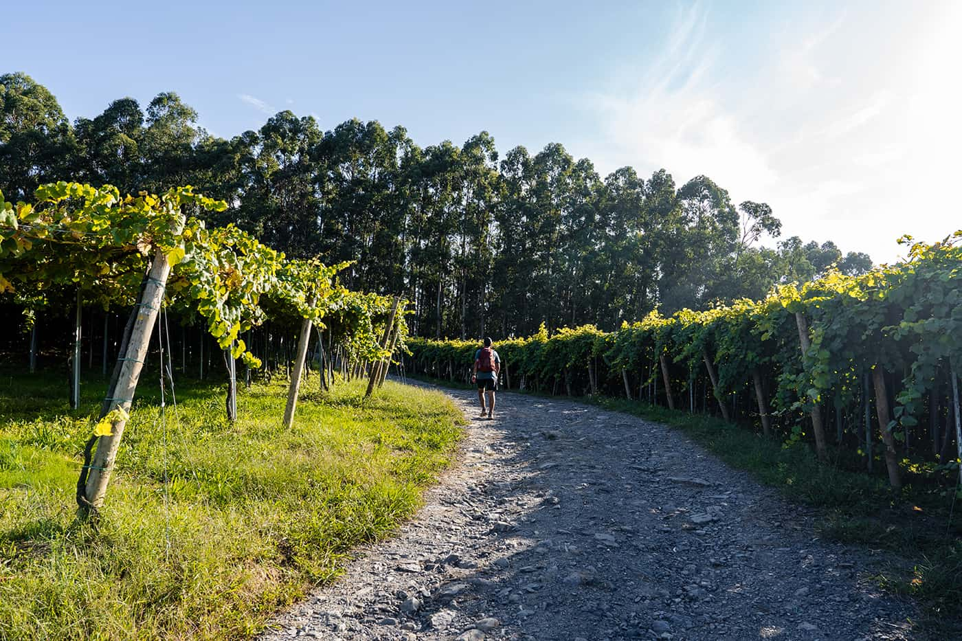
In the northwest of Spain, there is a network of GR hiking trails and Camino’s, of which the Camino del Norte stands out as the most popular. Every year, thousands of pilgrims traverse along the rugged Basque coast toward Santiago de Compostela. However, slightly next to the Camino, you’ll find the GR121 Talalaia Ibilbidea that runs along the coast, over the green hillside, and into coastal towns with some of the best pintxos and Basque wine.

Basque Country, stretching across northern Spain and southwestern France, is well known for its distinct culture and identity. The Basques, proud people with a history of striving for independence, speak Euskara, an ancient language. The region’s landscape features green hills and the Bay of Biscay and has a big gastronomic tradition that is renowned worldwide, attracting food enthusiasts with its dishes, including octopus, cod, meat stews, and the famed pintxos.

Elmar profile picture
Editor

Elmar Teegelbeckers

Passionate hiker Elmar spends months of his time on the trail. He’s usually on the lookout for hidden gems in one of his favourite countries such as Slovenia, Switzerland and Japan. He founded hiking-trails.com in need for a community and detailed information about the trails. Before this, he worked for the Alpine asscociation in the Netherlands[ (NKBV) but lost his heart to the trails.

Not long ago, Elmar published the book (in Dutch) Hiking Trails – best long-distance trails in Europe. With this book, website and socials, he hopes to inspire and shape an inclusive community for hikers all over world. No matter your speed, experience or level, you can get out there to enjoy the trails and connect with the heartwarming hiking community. Life is so much better outside and he hopes to inspire hikers to take their first, or next, step on the trail.

You can reach Elmar at info@hiking-trails.com.

View profile

The Trail

The GR121 Talaia Ibilbidea is a segment of the extensive 300-kilometer GR network through Gipuzkoa, Spain’s smallest province on the Basque coast. This trail occasionally intersects with the Camino del Norte, offering a unique perspective when traversed in the opposite direction.

The trail starts in Ondarroa, a small village an hour’s drive from Bilbao. Lodging is often found in hotels in the towns. The weather in this part of Spain is notoriously unpredictable, with frequent rain and strong winds, even during summer.

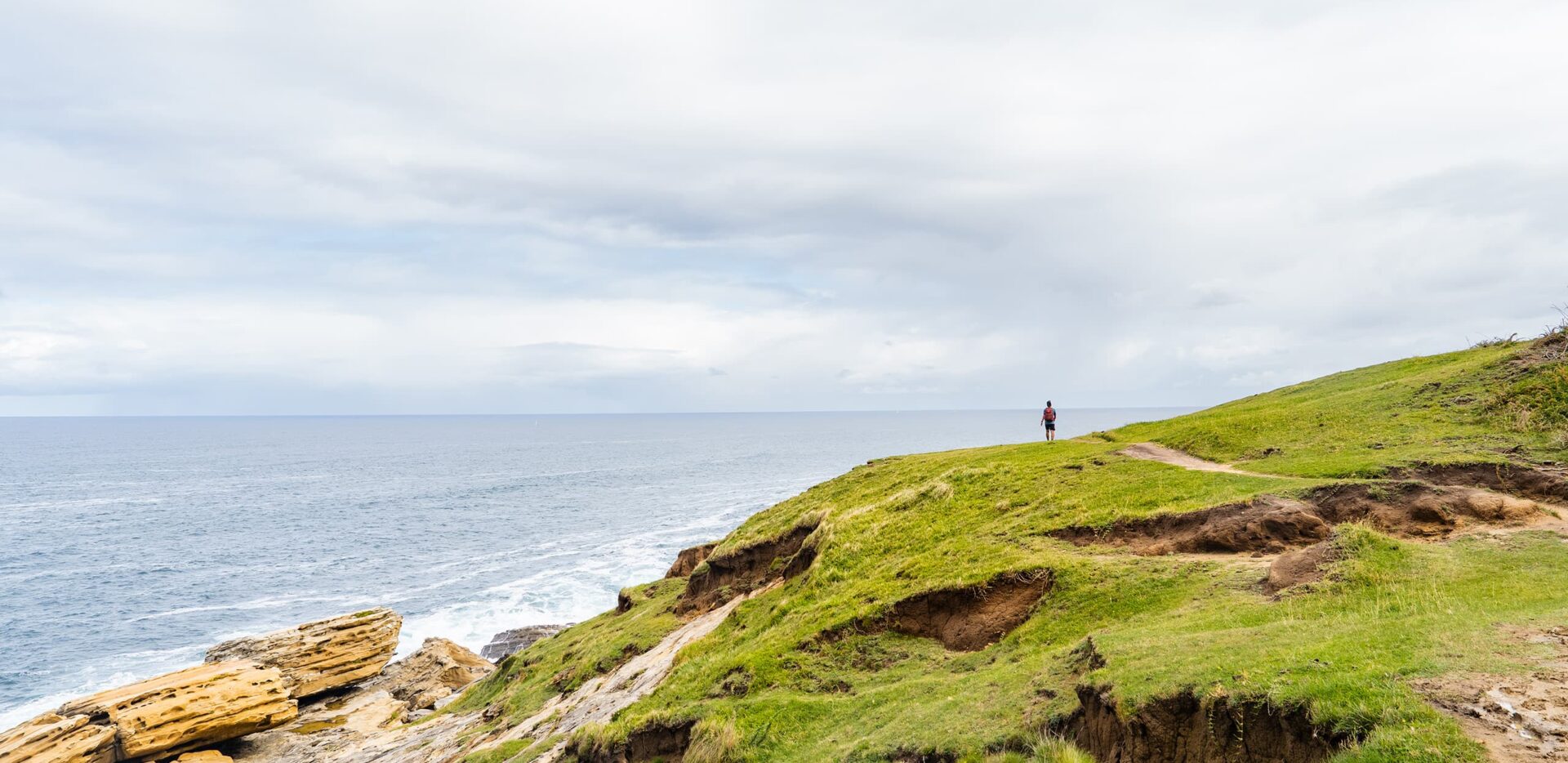
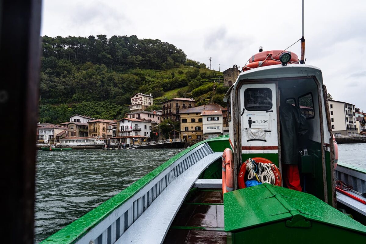
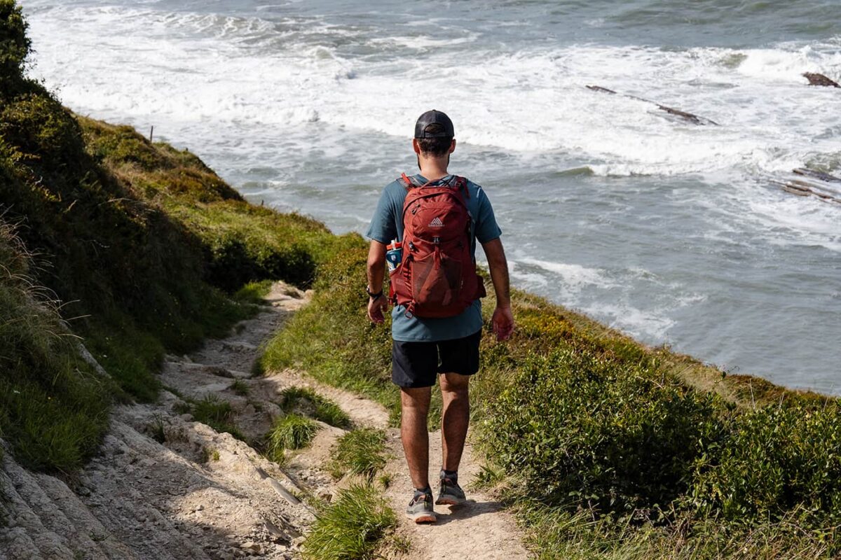
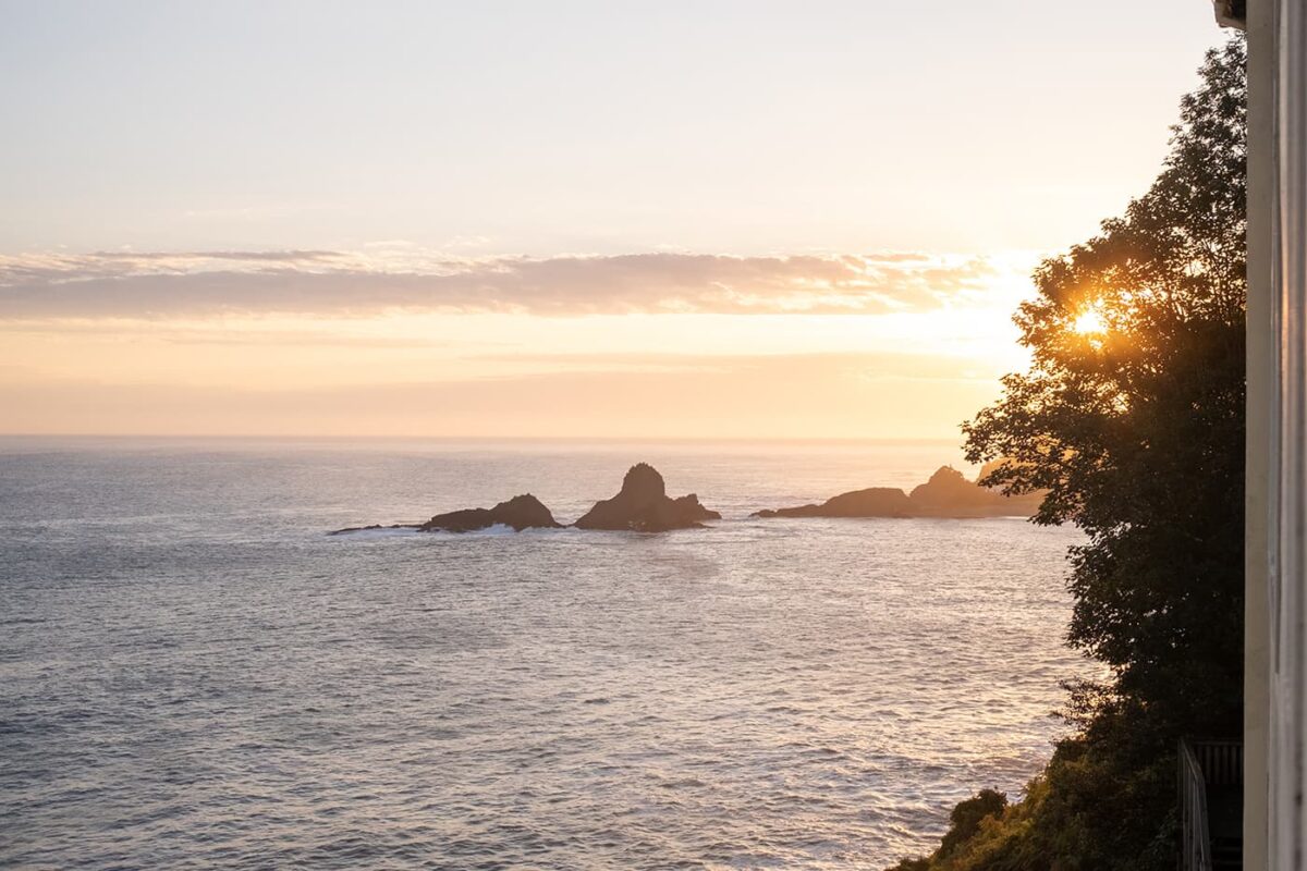
The first stretch of the trail is on top of cliffs, offering breathtaking views of the Atlantic Ocean as it continues towards the next bay. The trail leads to Deba, a coastal village with white houses and orange tiles, cozied in the green hills of the Basque Country.

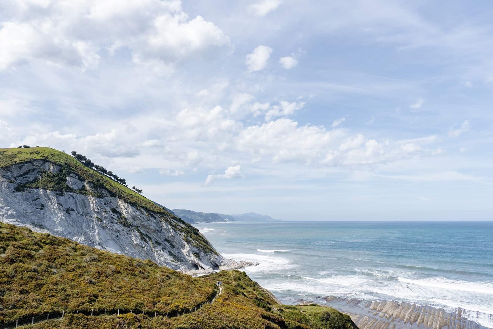
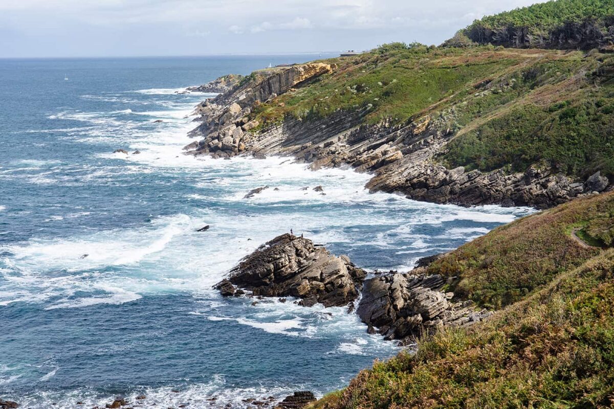
Zarautz is the next destination. Known for its popularity among surfers, Zarautz offers a two-kilometer-long beach with ideal surfing conditions. The trail narrows along the coastline towards Flysch, an area characterized by its layered rock formations and towering cliffs, showcasing the geological history where the Iberian and European plates once collided.

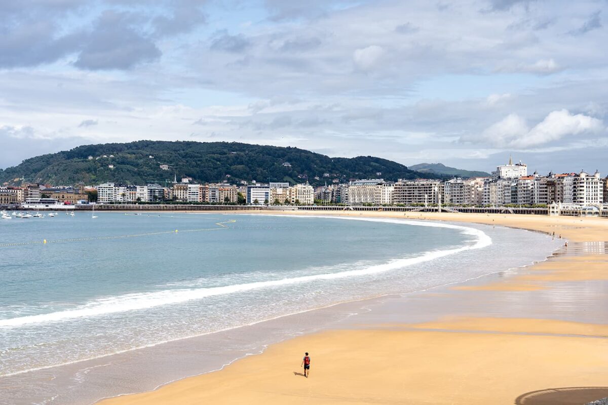
The GR121 Talalaia Ibilbidea continues to San Sebastian (Donostia in Basque), the provincial capital renowned for its culinary scene. Here, hikers can indulge in the famous pintxos at bars like Txepetxa, known for its anchovy delicacies, or for one of the other delicious restaurants.

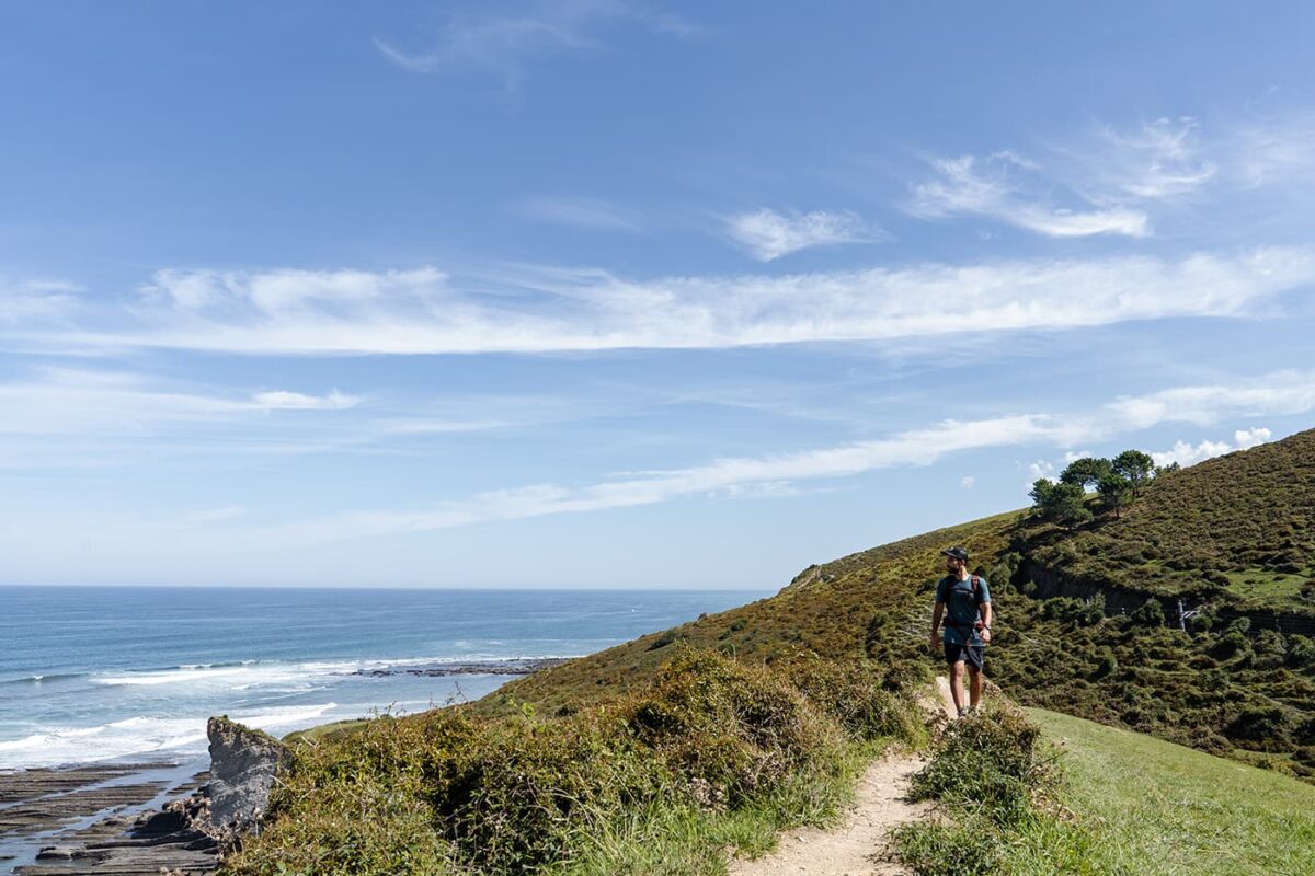
The final leg leads to Hondarribia where the trail ends in this town near the French border, leaving hikers with lasting impressions of the Basque Country’s rugged coastline, rough seas, and green hills. The region’s trails, though not technically challenging, demand endurance due to the constant ascents and descents into the bays during every stage.

Stages

Stage 1:

Ondarroa – Zumaia, 22 km | 14 mi

Stage 2:

Zumaia – Orio, 16 km | 10 mi

Stage 3:

Orio – San Sebastian, 16 km | 10 mi

Stage 4:

San Sebastian – Hondarribia, 32 km | 20 mi

Accommodations

On the GR121 Talaia Ibilbidea, you can choose to stay in hotels, hostels, and Airbnbs. At the end of every stage, you’ll find plenty of accommodation in the coastal towns where you can choose the accommodation you like from basic lodging to luxury hotels.

Best time of the year

The best time to hike the GR121 Talaia Ibilbidea is from the end of spring in May to the end of September. These periods are recommended due to the mild weather conditions, which make this hike along the rugged coastline more enjoyable. Note that the weather in Basque country can change rapidly and that it’s a rainy area. Even in the summer, there’s a high chance of heavy rainfall, and therefore the trail is not suggested around the winter season.

Safety & Gear

You’ll want to grab some sturdy hiking shoes for the uneven paths and sometimes sandy trails on the coastal cliffs. Also, be sure to note that the weather in the region is changeable, making it important to have layered clothing to adapt to sudden shifts from rain to sunshine. A good hardshell waterproof jacket is essential. We recommend bringing at least 1.5 liters of water with you and enough food for the day.

Good to know

Exploring the GR paths in the Basque Country offers a unique blend of natural beauty, cultural highlights, and culinary experience, making it a perfect trail for a short getaway. The climate can be quite unpredictable, with the possibility of encountering rain, wind, and sunshine all in one day. It’s important to check weather forecasts and be prepared with appropriate clothing and gear. There are a variety of lodging options along the trails and it should not be too hard to find accommodation. However, the guesthouses and more basic hotels or hostels are recommended to be booked ahead of time, especially during the peak pilgrimage and tourist seasons.

Route
Point to point
Highest point
494m (1620 ft)
Water resources
Enough

Want to submit a trail or make this page more complete?

Join the community!

Login or create a FREE account 😊

With an account you can:

Download GPX files

Pin trails to your wishlist

Mark trails as hiked by you

Rate hiking trails

Comment on trails, blogs and gear reviews

Happy trails!
Login

Don't have an account yet? Register here