About the Great Divide Trail

country
Canada
length
1200 km(746 mi)
Type of trail
Thru-hike, Long-distance
difficulty

Difficulty is highly personal. Be aware of the weather conditions as bad weather turns easier trails in difficult trails especially in the mountains.

Strenuous
accommodation

Lodging means a mix of hotels, hostels or AirBnB’s.

Wild camping, Camping, Lodging
Elevation gain
128284 m(420879 ft)
terrain
Mountains, Forest, Hills
remoteness
Most of the time
Show more

The Great Divide Trail is somewhat of an outsider. Whereas the USA famously boasts the PCT, AT, and CDT, Canada has been the underdog. But in the provinces of British Columbia and Alberta, an infamous trail follows along the continental divide up north, following the spine of the Rocky Mountains. Welcome to the Great Divide Trail!

Unlike its more famous counterpart, the Pacific Crest Trail, the GDT is less developed and sees fewer hikers, making it heaven for those seeking solitude and wilderness immersion. We saw only a handful in our two months on the trail. However, its remote location and challenging terrain mean you’ll have a once in a lifetime experience in the Rockies. This is a trail you won’t want to miss!

man and women posing for camera
Author

Ilse & Ryan Brown

Ilse was born in Belgium but lost her heart – literally – to North America. She has hiked the Great Divide Trail and part of the Pacific Crest Trail. Somewhere on the PCT, she met her husband Ryan. Together, they have hiked trails in Sweden and Portugal. After a year on the road, they are back in Belgium, saving up money for future adventures. You can follow Ilse on Instagram.

View profile

The Trail

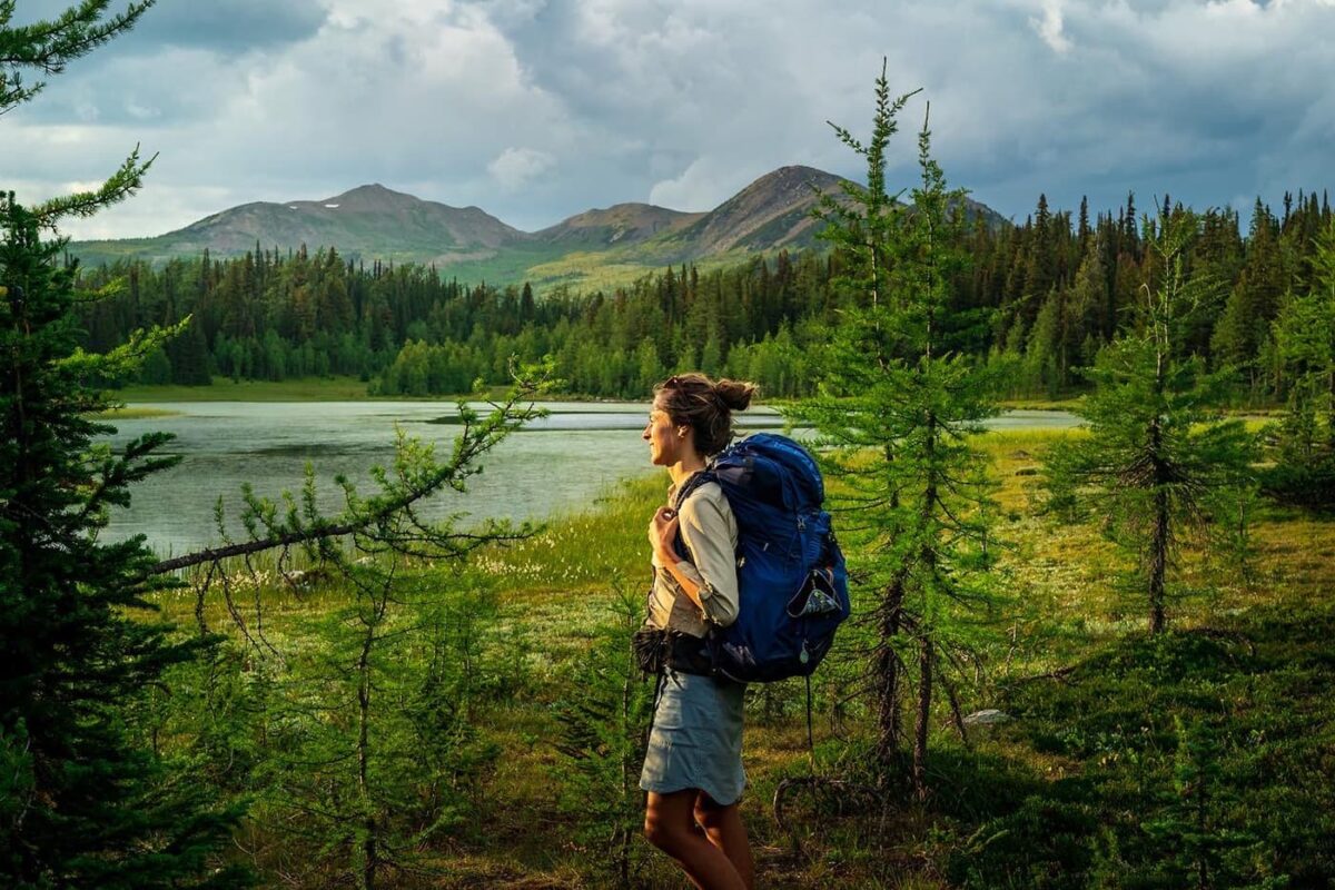
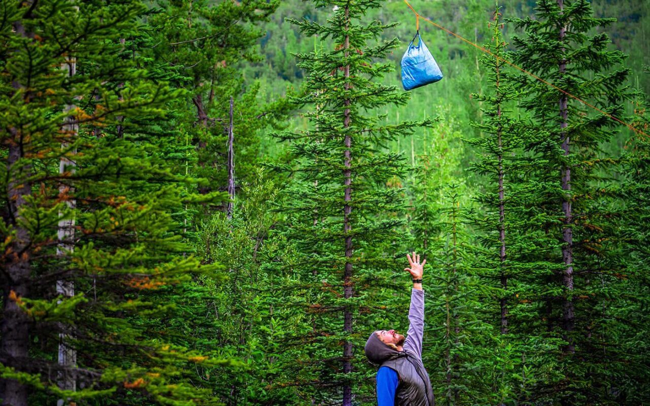
First of all, the trail is notoriously wild and brutal. The sections are long and rugged, there are barely any trail towns or pit stops, and you will meet very few other hikers. Wildlife is another serious concern. Canada is home to many black bears and grizzly bears, so taking care of your food is something on top of the to-do list.

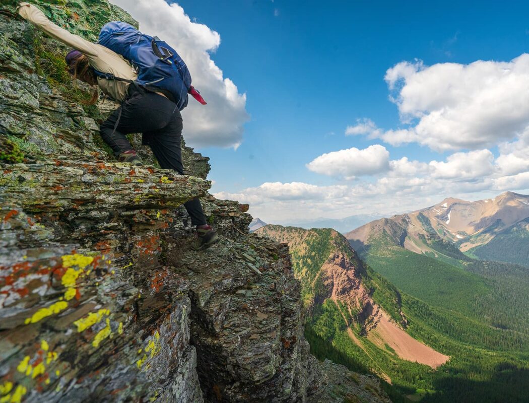
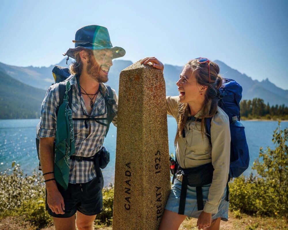
You’ll start on the Montana Border and hike to Waterton Lakes National Park in the first stage. You can expect relatively gentle terrain through rolling foothills and forests, with occasional river crossings. Keep your eyes peeled, there are a lot of wildlife sightings, especially elk and bears. You’ll pass through Cameron Lake, hop on the challenging Carthew-Alderson Trail, and see the undeveloped wilderness of the Castle Wildland Provincial Park.

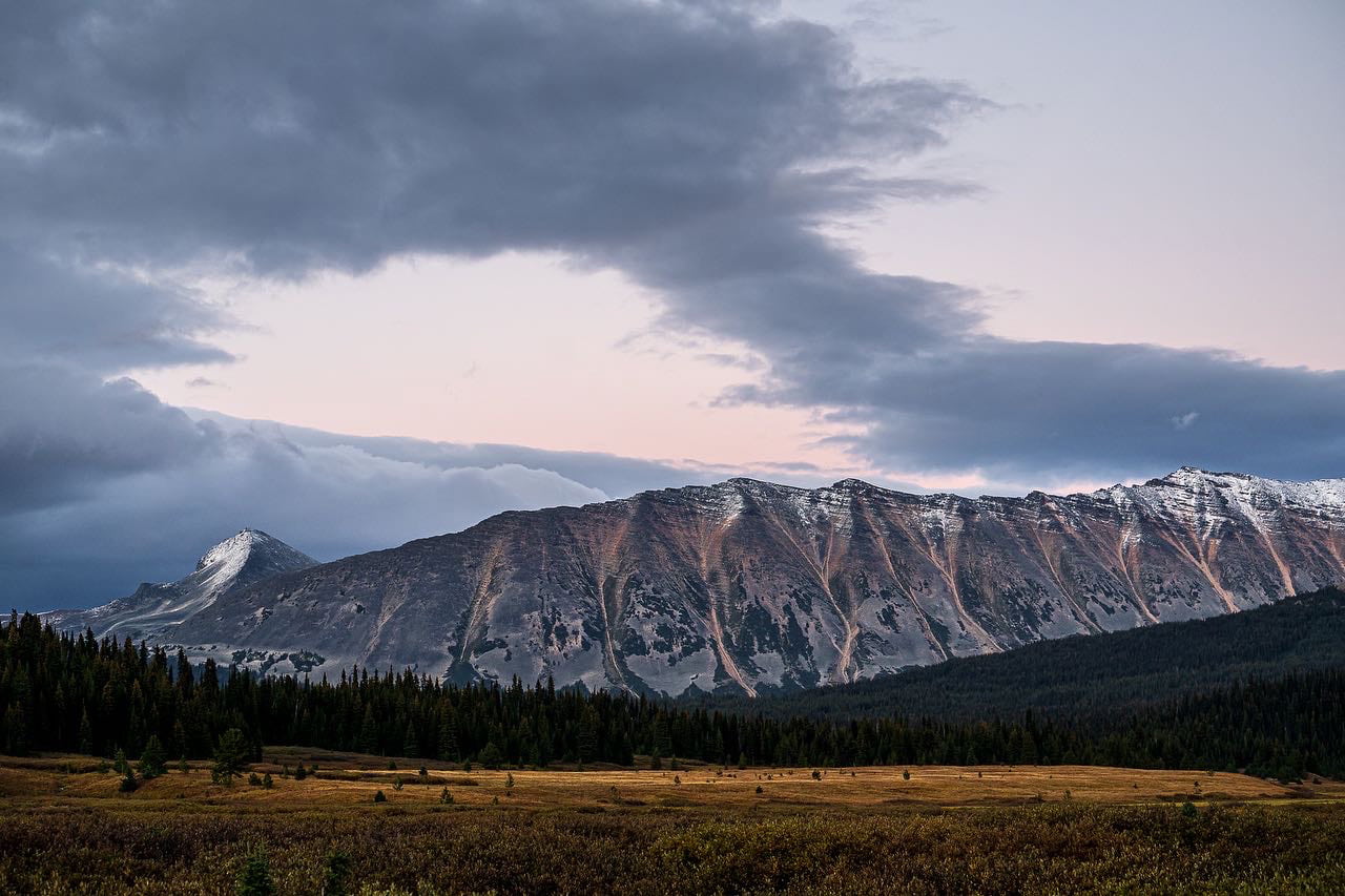
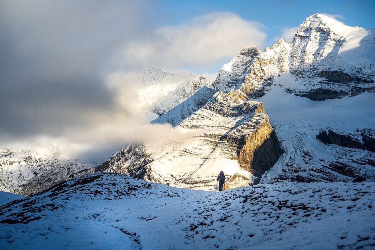
Next, you’ll head from Waterton Lakes National Park to Kananaskis Country. Here, the trail difficulty picks up and there are many more ascents and descents, particularly around the High Rock Range. Water sources are generally reliable, but weather can be unpredictable, with the possibility of early snow in higher elevations. This section is less traveled, which means it will be even more of a solitary hiking experience.

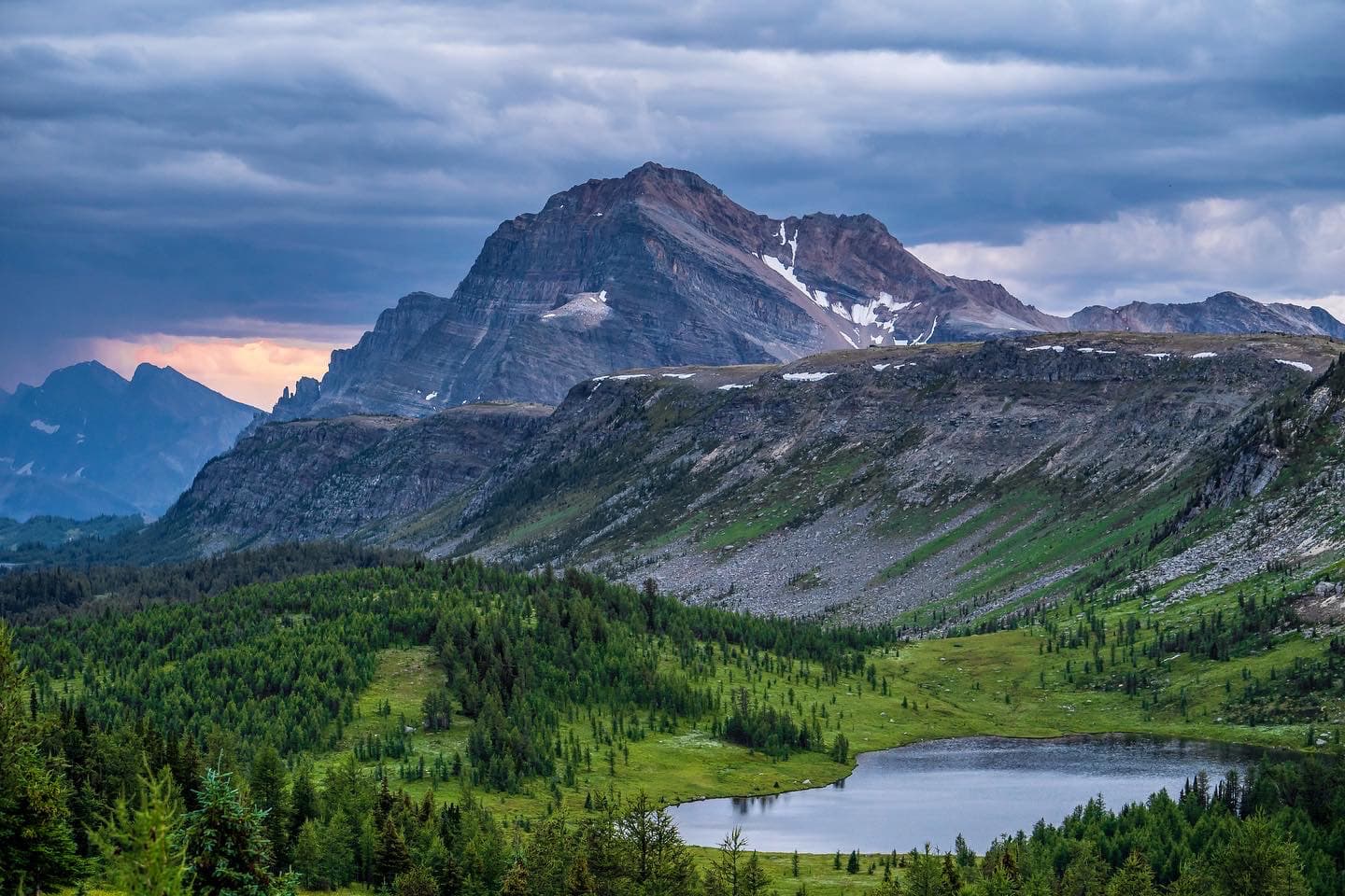
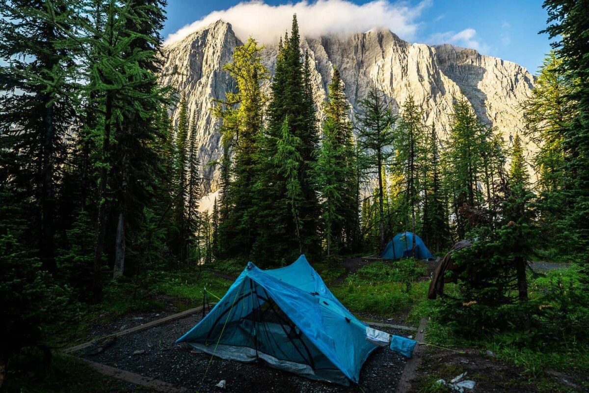
From Kananaskis, you’ll head to Banff National Park. Banff is famous around the world for its iconic landscape, which makes this stage special. You’ll hike through the Spray Valley and Peter Lougheed Provincial Park, as well. Expect steep climbs, rocky terrain, and breathtaking views of peaks and alpine lakes. You’ll likely see a lot of wildlife in this section, especially grizzly bears and mountain goats. Hang your food and carry bear spray to be safe!

Next, you continue on to Yoho National Park. This stage has some of the most challenging terrain on the trail, including high mountain passes and glacier crossings. Luckily, you’ll have your trail legs by this point. Because you’re at a higher elevation, you’ll likely see more snowfields and experience more summer thunderstorms, so be cautious as you proceed and plan your days.

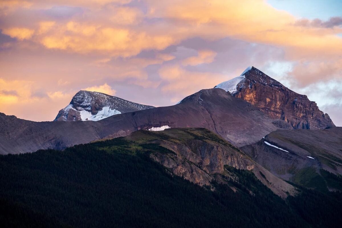
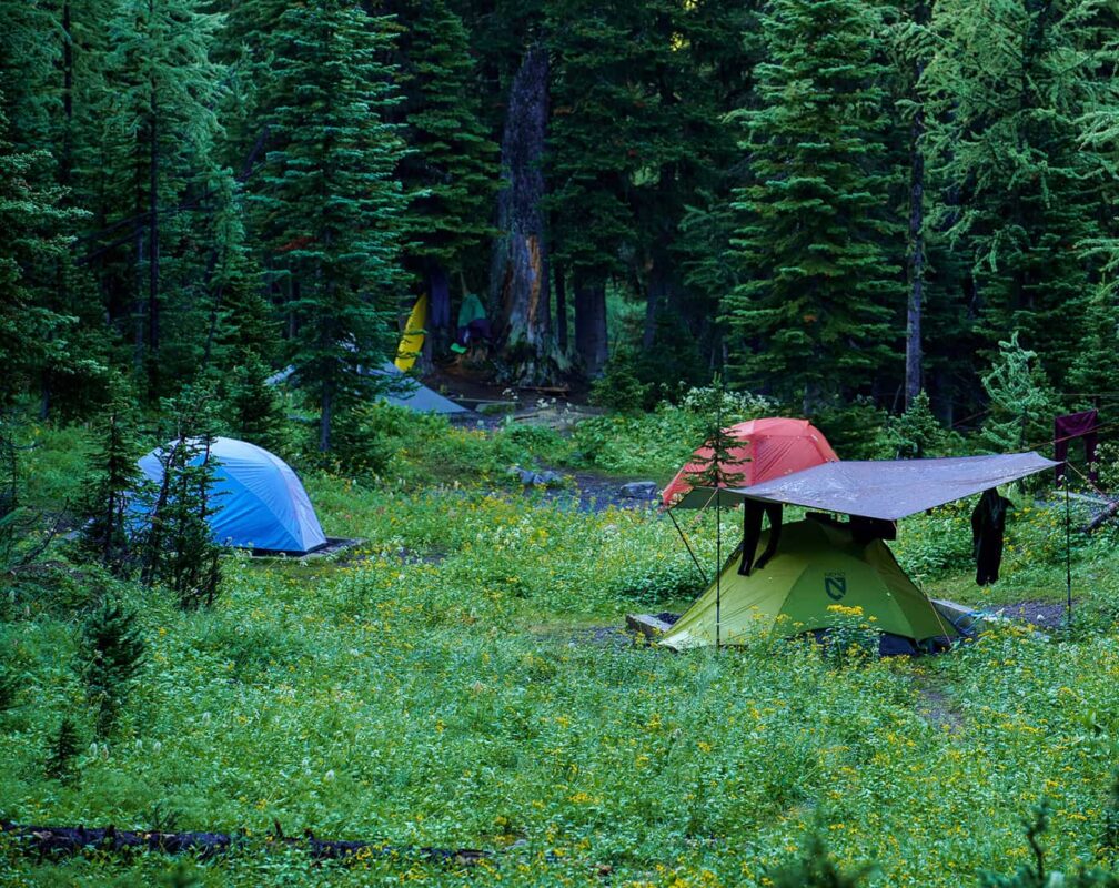
Finally, you’ll end in Kakwa. The final leg of the trail takes you through remote and rugged wilderness, with perfect forests and alpine tundra. This segment is known for its remoteness, with few services or amenities available along the trail. You’ll end at Kakwa Lake, the perfect place to take a dip after finishing your months on the trail.

There is no general agreement on the best direction to hike, but most people tend to go northbound. The hike starts in Waterton National Park at the USA/Canada border and ends in Kakwa Provincial Park. Expect to see the most beautiful mountain vistas, alpine lakes, and endless forests: this is Canada at its best. But preparation is everything to make this hike a success. The further north you go, the more remote you will be.

Stages

From Kakwa Lake, the endpoint of the trail, you will need to hike out of Kakwa Park via a 100-kilometer-long abandoned Forest Road (some sort of gravel road). This will make for another 2 or 3 days, so bring plenty of food. Every section has several alternate routes, so distances may vary.


Sections

  • Waterton Lakes NP – Coleman, 145 km | 90 mi
  • Coleman – Kananaskis, 195 km | 121 mi
  • Kananaskis – Field, 207 km | 129 mi
  • Field – N. Saskatchewan River Crossing, 106 km | 66 mi
  • N. Saskatchewan River Crossing – Jasper, 190 km | 118 mi
  • Jasper – Mount Robson, 100 km | 62 mi
  • Mount Robson – Kakwa Lake, 154 km | 96 mi

Accommodations

You will need to bring a good tent on this hike. Because of the long distances and remote wilderness areas, accommodation places are far and few between. There are no mountain huts in most areas, apart from one or two exceptions, meaning that you will have to camp most of the time. There are sufficient campsites to be found. Please do not make any new campsites to respect the fragile environment.

Important to note is that Parks Canada works with a reservation system. About ⅓ of the trail is inside park boundaries, so make sure to plan accordingly. This involves some work and planning ahead! Find more info on the process here.

Whenever you’re in town in between sections, it is possible to stay indoors and sleep in a hostel, motel, or hotel. Do note that Banff and Jasper are very expensive during the summer months due to the busloads of tourists. You can avoid $200 dollar hotel rooms by hitching a lift to Hinton instead of Jasper or Golden instead of Banff. There, prices can vary from $80 to $180 – depending on whether you are staying in an expensive mountain hotel or a cheap roadside motel. Staying overnight in hiker hostels and sharing a dorm can be an effective way to lower the costs significantly. Sometimes, camping in town is also an option. Support the locals! All GDT towns are hiker-friendly and will go out of their way to accommodate hikers. Make sure to repay the favor and respect the town’s rules and regulations.

Best time of the year

The best time of the year to hike the Great Divide Trail is short. July and August are considered to be the best – or safest – months to hike that high in the mountains. Some hikers start as early as June, but chances are that you get stuck in snow blizzards or horrible rain spells. September is when fall starts to come up, and if you’re lucky the weather holds up. But beware: fall is an extremely short season up north and winter is on the way.

Keep in mind that the weather in the high mountains can change rapidly, and it’s essential to be prepared for various conditions, including sudden rain or snow showers. Always check trail conditions, and local weather forecasts before embarking on a high-alpine hike. Additionally, consider your hiking experience and skill level, as some trails in the high Dolomites can be challenging and require proper equipment and experience.

Safety & Gear

Since the GDT is a long-distance hike that takes you through alpine regions and therefore you may experience all types of weather, it is essential to come prepared for everything! Sunscreen, hat, gloves, umbrella, rain gear, and base layers are all essential parts of your clothing system. You will face long exposed sections of sun and extreme cold and wind. You can experience weeks of non-stop rain or 40° sun and wildfires. Do a shakedown hike before you leave to make sure you know and understand the gear you are carrying.

Share your hiking plans with your family or friends, providing details like your anticipated start and end times, chosen trail route (and alternate routes!), and emergency contact information. Please familiarize yourself with the trail map and carry navigation tools such as a compass or GPS device to stay oriented and avoid getting lost. And it never hurts to bring a power bank, too. Just in case!

Invest in the right hiking gear, including comfortable, supportive footwear, proper hiking clothing, such as warm base layers and a hardshell rain jacket, hiking poles, a well-fitted backpack, and essential equipment like maps, a GPX device, and a first-aid kit. Check out our comprehensive gear list for long-distance trails like this.

Respect the principles of Leave No Trace by minimizing your impact on the environment. Stick to designated trails, pack out all trash, and show respect for wildlife and natural habitats.

Good to know

The Great Divide Trail is quite unique. Never before have we felt so remote, so removed from anything. It’s very remote and far away from anything. It is seldom that you cross a backcountry road, but often there is little to no traffic. Carrying a Garmin GPS is a must for navigation and safety. If you cross a road, you will likely want to hitch to the nearest town for a resupply of food.

On the whole, we only met a handful other hikers in the two months we were out there. We encountered more bear, moose and elk than humans. It is important to educate yourself on the wildlife regulations and how to behave when a human-animal encounter occurs. Hang your food or use a BearVault or UrSack and tie it to a tree far away from your camp. Never cook and sleep at the same spot. Help to protect this beautiful wilderness, one of the last on our planet.

Water resources: There are plenty of water sources along the entire route. Water is abundant for the most part and there are almost no excessive long water carries. Bring a water filtration system to be safe, but many hikers just opt to drink straight from the fresh mountain streams and sources.

Route
Point to point
Highest point
2500m (8202 ft)

Guidebooks

cover guidebook

Great Divide Trail

View guidebook

Want to submit a trail or make this page more complete?

Comments

Be the first one to comment on this trail!

Reply to this trail

Your email address will not be published. Required fields are marked *

Reply to this trail

Log in to comment on this trail
Always read the disclaimer

Terms of Use: important to all visitors on this website. We strive to publish high quality content and information on this website. However it’s always possible that we’re missing out on some crucial information. In spite of the fact that this route, associated GPS track (GPX and maps) were prepared under diligent research by the specified contributor and/or contributors, the accuracy of such and judgement of the author is not guaranteed. Therefore, hiking-trails.com and contributors are in no way liable for personal injury, damage to personal property, or any other such situation that might happen to individuals hiking or following this route. Should you choose to hike this trail, this is always at your own risk. Check out our guidelines for safety hiking and Leave No Trace principles at the hiking 101 page.

Download GPX

Join the community!

Login or create a FREE account 😊

With an account you can:

Download GPX files

Pin trails to your wishlist

Mark trails as hiked by you

Rate hiking trails

Comment on trails, blogs and gear reviews

Happy trails!
Login

Don't have an account yet? Register here