About the Tour des Pérics

Pyrenees
country
France
length
49 km(30 mi)
Type of trail
Hut to hut
difficulty

Difficulty is highly personal. Be aware of the weather conditions as bad weather turns easier trails in difficult trails especially in the mountains.

Moderate
accommodation

Lodging means a mix of hotels, hostels or AirBnB’s.

Mountain huts
Elevation gain
2400 m(7874 ft)
terrain
Mountains
remoteness
Some of the time
Show more

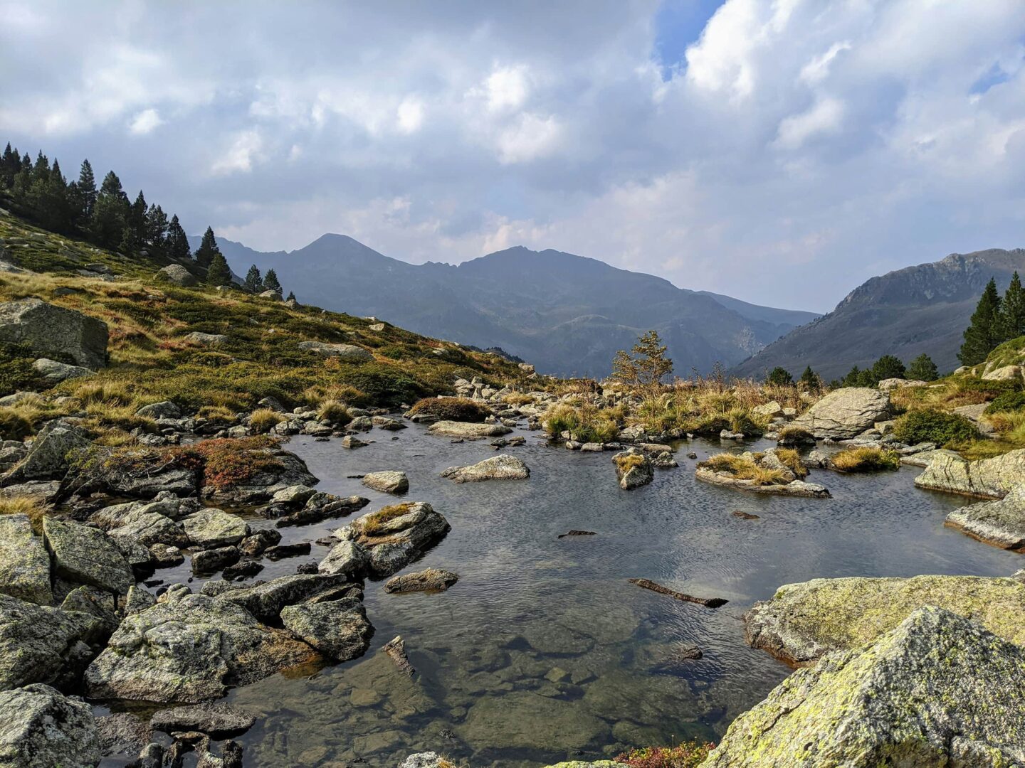
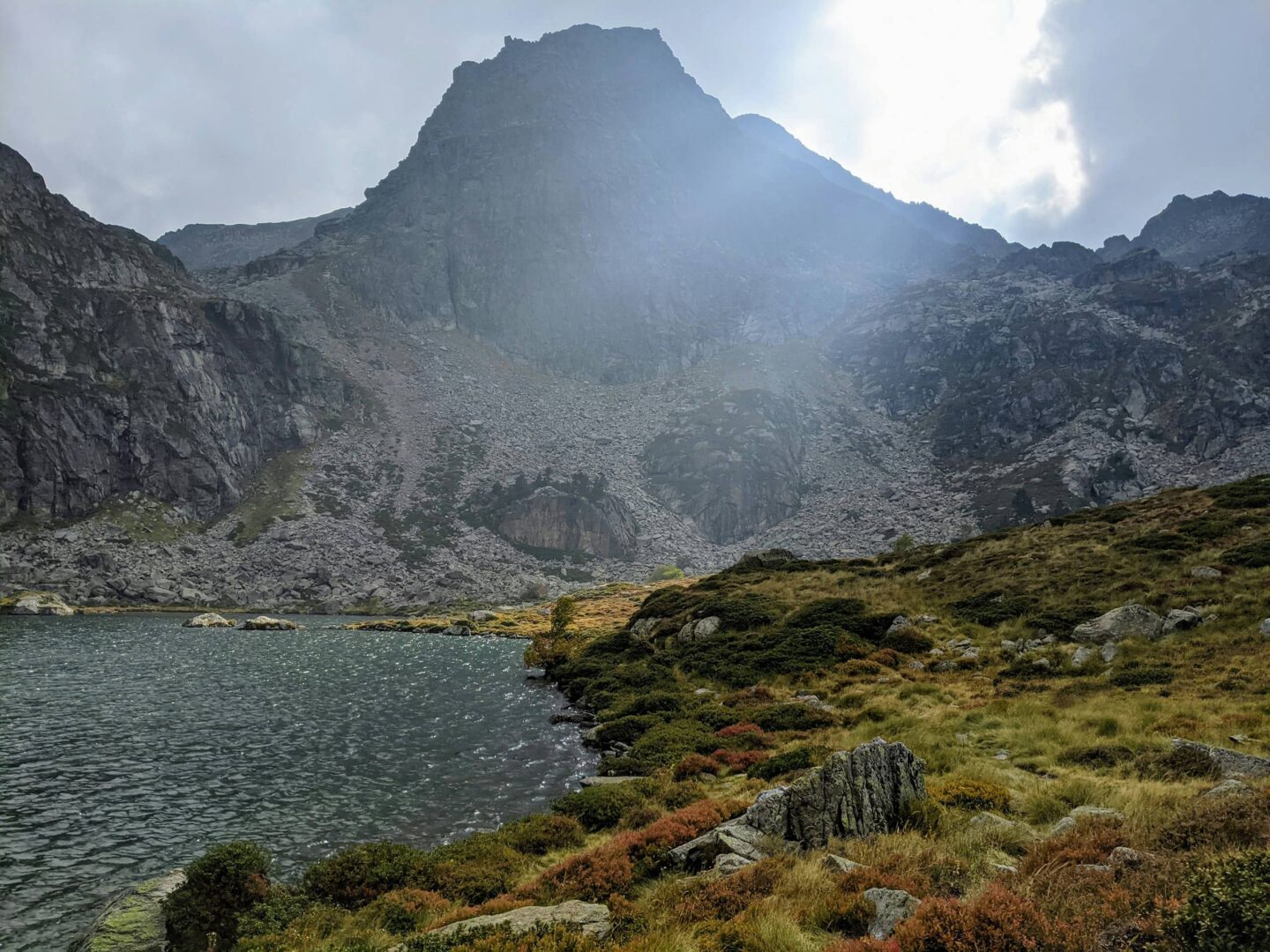
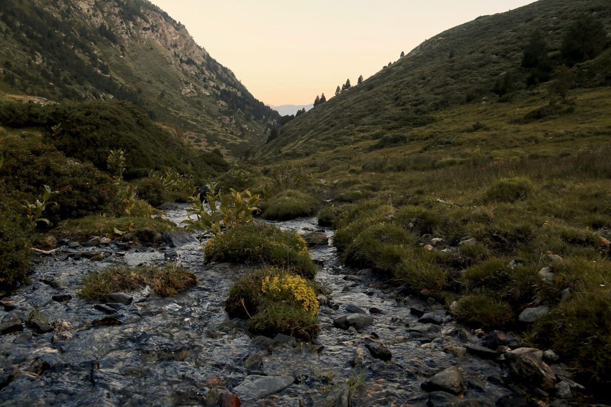
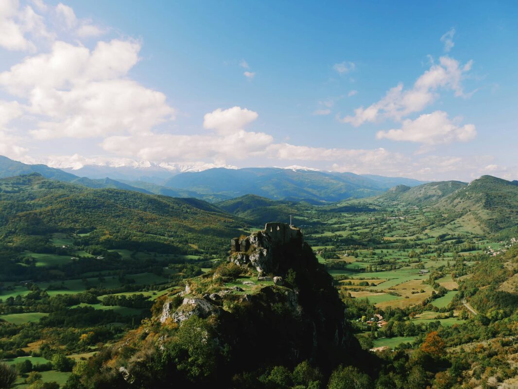
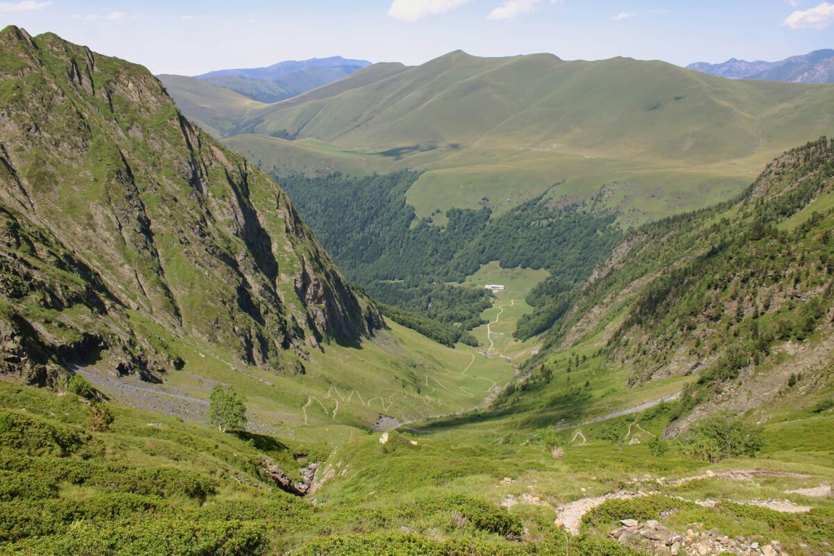
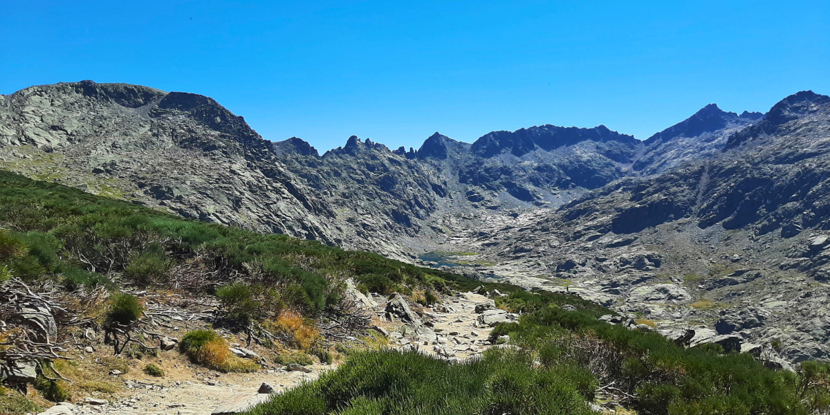
The Tour des Pérics is a 4-day loop hike, perfect for a first experience in the French Pyrenees, or a first multi-day mountain hike with a tent. The tour is a true ode to disconnection, as your cell phone is unlikely to work once there! But mostly, this is a call to rediscover the contrasting nature that characterizes the Pyrenees. The trail walks you through vast high plateaus but also requires you to use your hand to climb up (or down) some rocky portions that the Pyrenees are known for.

A way to get away from city life and enjoy a quieter way of life, this trail is a fun way to spend a holiday weekend in the Pyrenees. Plus, you have the opportunity to experience mountain hut culture or to camp, depending which you prefer. You’ll start at a mountain hut along the loop, but that doesn’t mean you need to sleep in them. It’s also possible to camp outside of the huts and just use them for a shower and dinner.


Hadrien and Lisa profile picture

Hadrien & Lisa

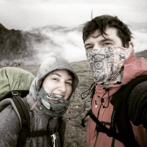
Hadrien and Lisa weren’t born in the mountains, as they respectively come from Brittany (France) and Belgium, and live in the Netherlands. Nevertheless, over the past 10 years, they gradually gained experience and knowledge each year, ultimately leading them to Thru-hike the French Alps and the Pyrenees, as well as doing the Camino twice! You can follow Hadrien and Lisa on Instagram @the.wild.dukes

View profile

The Trail

This trail encompasses the remoteness and wilderness of the Pyrenees, a nice warm-up before tackling a Pyrenees thru-hike as a whole via the GR10 or GR11.

While it is available to eat and sleep in mountain huts, it is also possible to wild camp on most of the trail, or to bivvy next to the huts while still enjoying a (likely cold) shower and a warm dinner.

How to Get There

The Tour des Pérics loop goes from refuge to refuge. You must first reach one of them to begin. We recommend accessible the trail by public transport:

  • Either from the l’Hospitalet-près-l’Andorre train station (SNCF station) to reach the Refuge des Bésines is accessible. Be aware that the station is far in the valley, and starting from there adds a nice warm-up day of 8km and +730m. Details of this leg are here.
  • Or accessing Refuge des Bouillouses (by car or shuttle). During the summer period, access to the Bouillouses site is by shuttle from Pla de Barrès. This is a good place to find the periods, times, and prices of the bus shuttles.

Stages

The trek can be divided into 4 stages, perfect for a long weekend or week away in the mountains.

Stages of the Tour des Pérics

Stage 1:

Refuge Des Bésines – Refuge Des Bouillouses, 15km | 9.3 mi

Stage 2:

Refuge Des Bouillouses – Refuge Des Camporells, 11km | 6.8 mi

Stage 3:

Refuge Des Camporells – Refuge D’en Beys, 11km | 6.8 mi

Stage 4:

Refuge D’en Beys – Refuge Des Besides, 8km | 5 mi

Accommodations

When hiking this trail, you’ll probably stay in, or next to, one of the mountain huts alongside the trail. Book all accommodations at least a month in advance, as the smallest of the huts (Refuge des Camporells) only offers 19 places.

Make sure you don’t miss out on the local blueberry tart, often available in the Pyrenees mountain huts, together with a local beer!

Accommodations per stage

Stage 1:

Refuge des Besines

Stage 2:

Refuge des Bouillouses

Stage 3:

Refuge Des Camporells

Stage 4:

Refuge d’en Beys

Best time of the year

The best time of the year to hike the Tour des Pérics is undoubtedly from June to September. As you’re hiking in the mountains be aware that there might be snowfields even in early summer and there might be early snowfalls in late summer and early autumn. Generally, the hiking season in the Pyrenees is limited to the summer months when the weather is milder and the snow has melted, making the trails more accessible.

Keep in mind that the weather in the high mountains can change rapidly, and it’s essential to be prepared for various conditions, including sudden rain and storms/lightning or snow showers. Always check trail conditions, and local weather forecasts before embarking on a high-alpine hike. Additionally, consider your hiking experience and skill level, as some trails parts of the hike can be challenging and require proper equipment and experience.

Safety & Gear

Even though this is a smaller trek, it’s important to take safety precautions before you set out each day. Check the weather forecast and be prepared for changing conditions, especially in mountainous areas. Dress appropriately in layers and wear sturdy footwear to navigate various terrains comfortably. Pack essential items such as enough water (2 liters!), snacks, a first aid kit, and a mobile phone for emergencies.

Consider hiking with a friend, especially if you’re unfamiliar with the area or traveling alone. Along those lines, it’s nice to share your itinerary and expected finish date with someone you trust.

While hiking, stay on designated paths and be cautious of steep ascents, narrow paths, and loose rocks. Take extra care when crossing streams or navigating through rugged terrain. Avoid hiking during extreme weather conditions, such as thunderstorms or heavy fog, and seek shelter if necessary.

Listen to your body and pace yourself accordingly, taking breaks as needed to rest and rehydrate. Be respectful of the environment and wildlife encountered along the trail, following the Leave No Trace principles and packing out your trash.

Good to know

The Tour des Perics isn’t a very popular destination. Nevertheless, if you plan to sleep in mountain huts and/or have dinner there, make sure you book the mountain huts at least a month in advance so you secure a sleeping place during the night. The best way to contact the huts would be by phone – contacting by mail is also possible but expect some delays as internet is limited in some parts of the trail.

It is also possible to wild camp along the way (leave no trace!), or to camp right next to the huts. Some areas are protected, thus wild camping isn’t allowed there and dogs are forbidden – always double-check with mountain hut guardians.

There are enough water points at the mountain huts, and water streams (still to be purified). Also on the way, make sure you check with the mountain huts guardians about water availability out there.

Route
Circuit
Highest point
2591M (8500 FT)

Want to submit a trail or make this page more complete?

Always read the disclaimer

Terms of Use: important to all visitors on this website. We strive to publish high quality content and information on this website. However it’s always possible that we’re missing out on some crucial information. In spite of the fact that this route, associated GPS track (GPX and maps) were prepared under diligent research by the specified contributor and/or contributors, the accuracy of such and judgement of the author is not guaranteed. Therefore, hiking-trails.com and contributors are in no way liable for personal injury, damage to personal property, or any other such situation that might happen to individuals hiking or following this route. Should you choose to hike this trail, this is always at your own risk. Check out our guidelines for safety hiking and Leave No Trace principles at the hiking 101 page.

Download GPX

Join the community!

Login or create a FREE account 😊

With an account you can:

Download GPX files

Pin trails to your wishlist

Mark trails as hiked by you

Rate hiking trails

Comment on trails, blogs and gear reviews

Happy trails!
Login

Don't have an account yet? Register here