About the GR13 – Via Algarviana

country
Portugal
length
300 km(186 mi)
Type of trail
Long-distance
difficulty

Difficulty is highly personal. Be aware of the weather conditions as bad weather turns easier trails in difficult trails especially in the mountains.

Moderate
accommodation

Lodging means a mix of hotels, hostels or AirBnB’s.

Lodging, Camping
Elevation gain
10000 m(32808 ft)
terrain
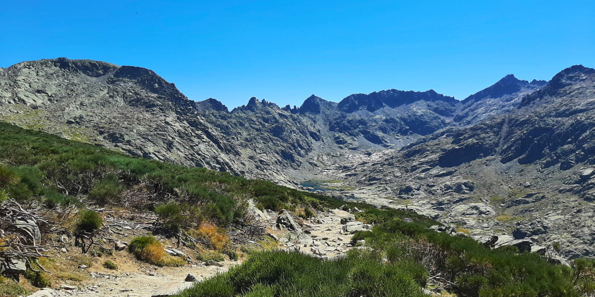
Countryside, Coastal, Forest, Hills
remoteness
Some of the time
Show more

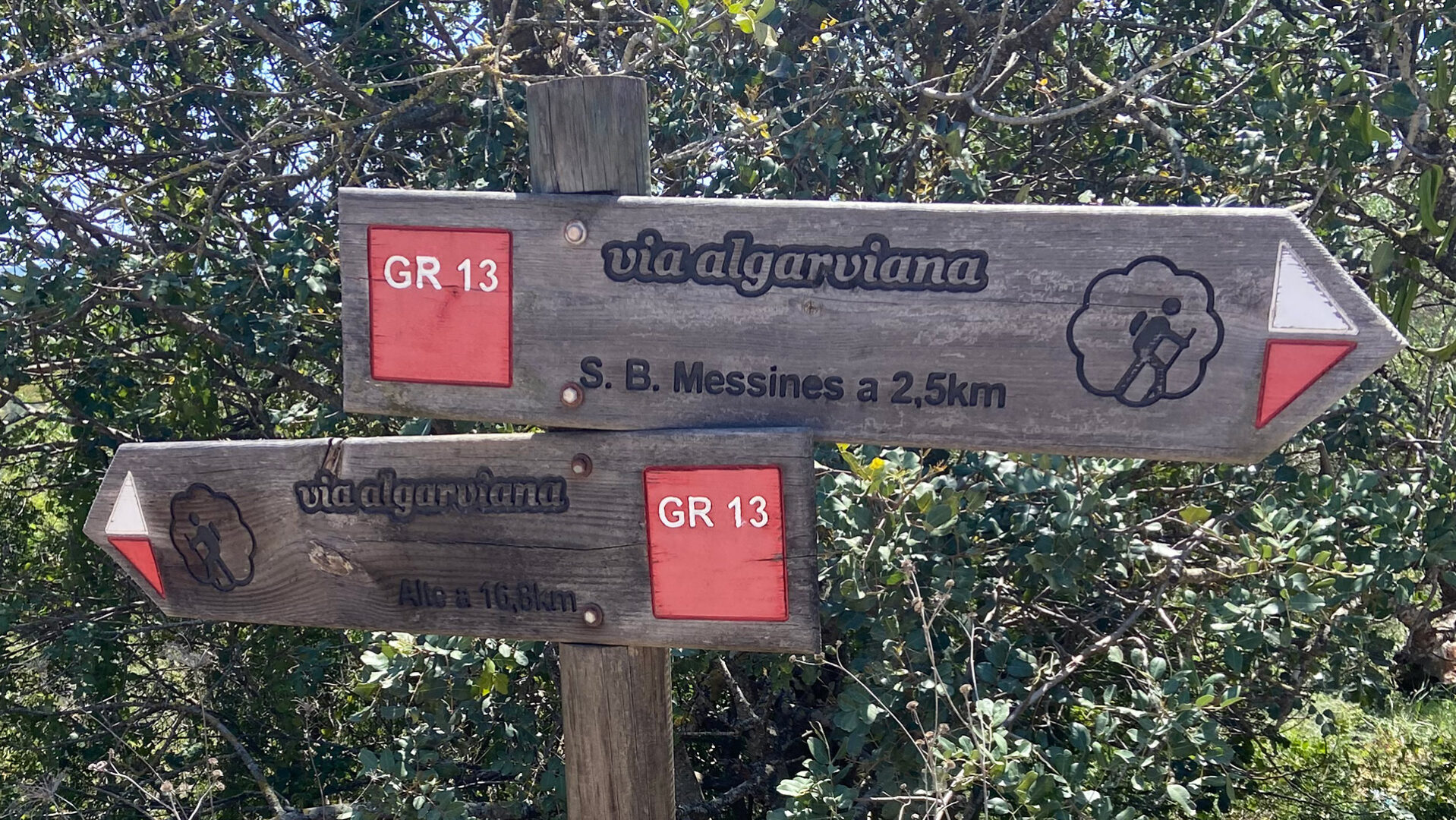
GR13 – Via Algarviana allows you to explore the hidden depths of the Algarve. Mainly a very developed and touristic area, the Algarve is a holiday destination for thousands of Europeans looking for sunshine and beaches. The Via Algarviana shows you a different Algarve. The trail leads you 300 kilometers through the entire length of the Algarve and connects to the Southwest Alentejo and Costa Vicentina Natural Park, and with the Rota Vicentina.

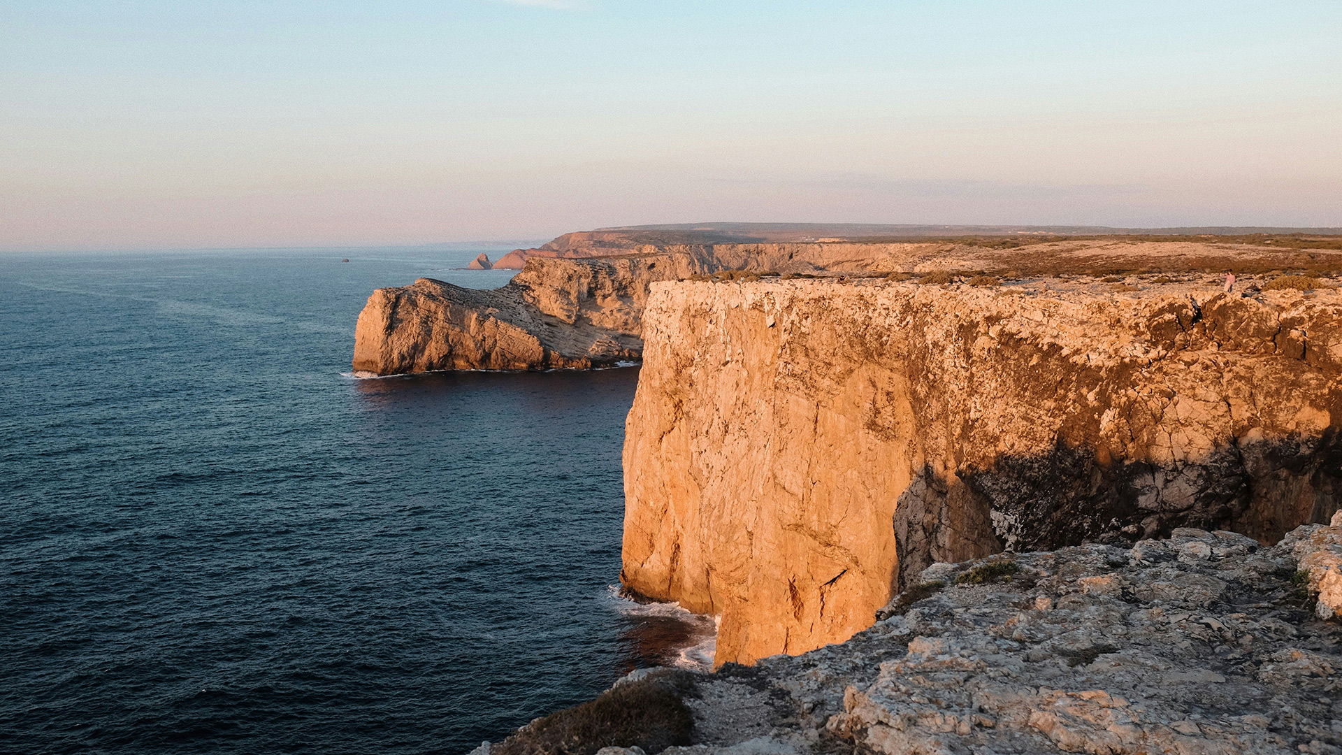
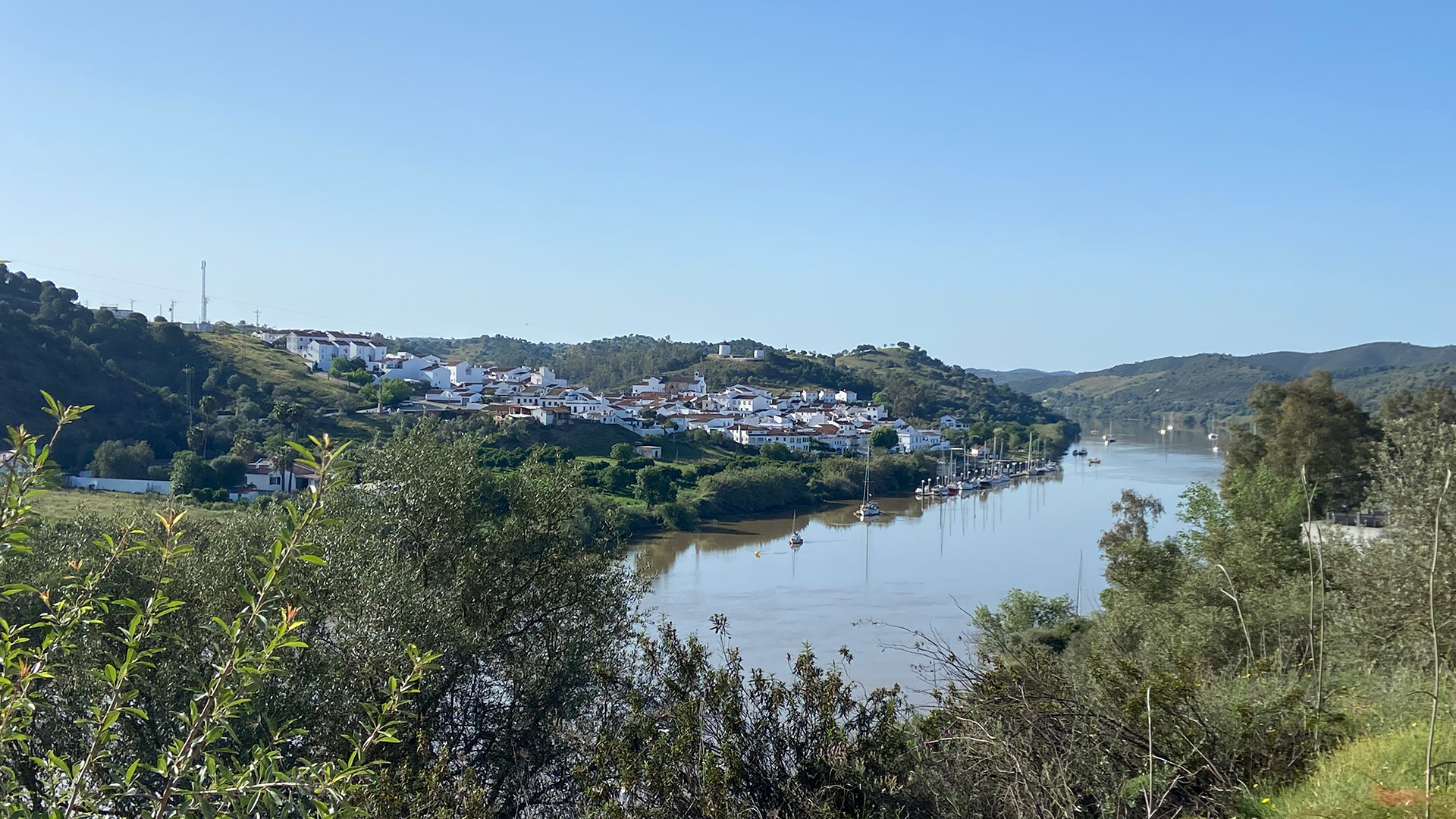
The trail begins in Alcoutim, on the banks of the Guadiana River, and extends to Cabo de São Vicente, where it ends at the Atlantic Ocean. In between the two, it heads inland into the Algarve, covering approximately 300 kilometers.

Sofie Rosendo
Author

Sofie Rosendo

Sofia Rosendo was born in Portugal, by the sea. It was not until a later date that she found the mountains and fell in love. From the Alps to the Andes and several stops in the Himalayas, she is still trying to find her favorite mountain. You can follow Sofia on Instagram @berrygirltravels.

View profile

The Trail

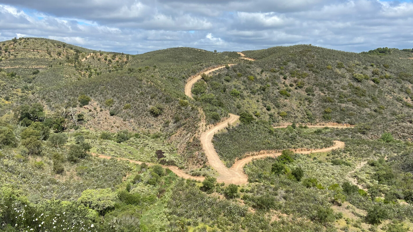
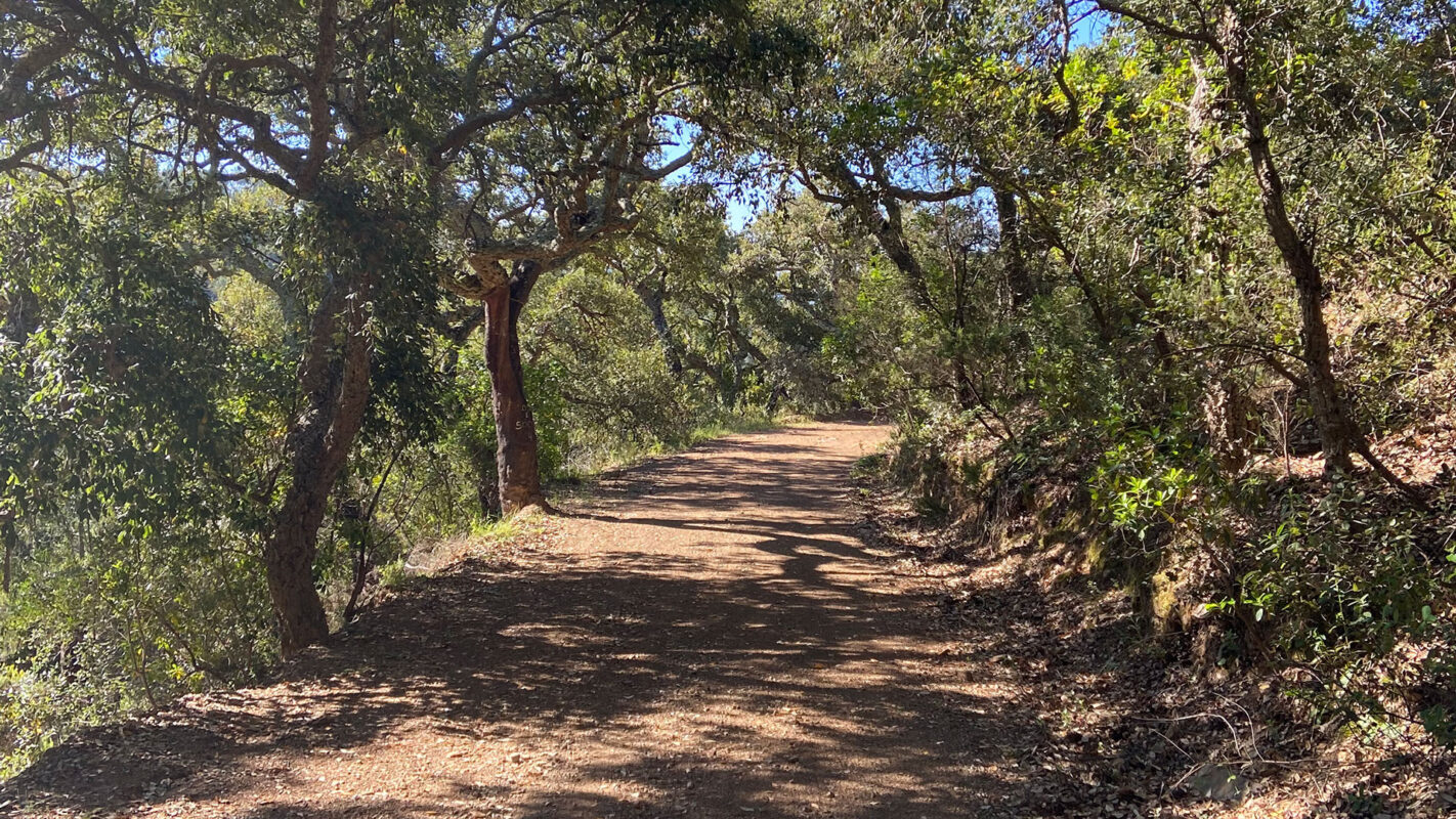
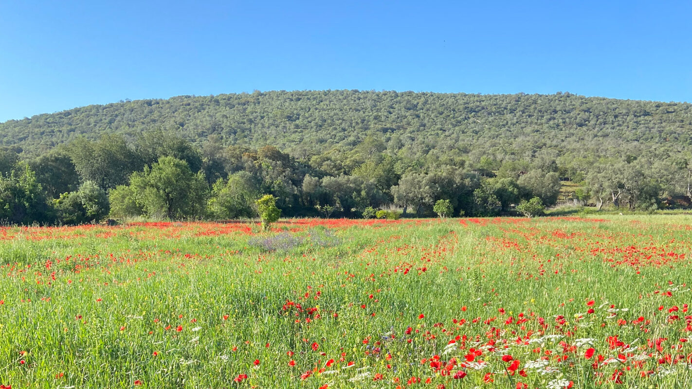
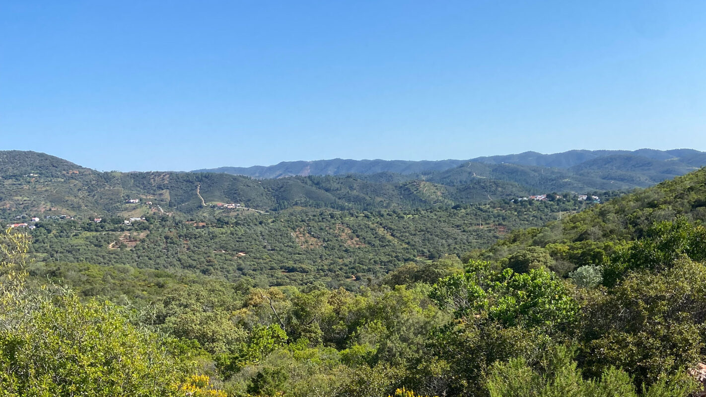
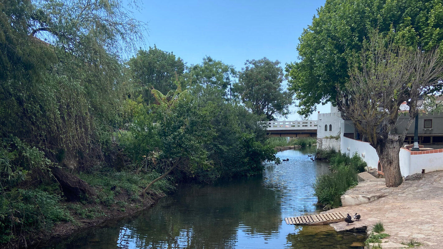
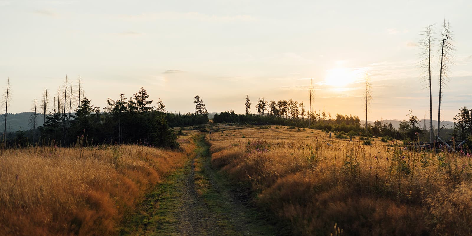
The Algarve is full of history and traditions and has lovely views that are different from what we identify with in this area. Sleepy little villages, farmed hills, and hidden forests allow you to go back in time, to a slower pace, that allows you to take in the real beauty of your surroundings.

As you step onto the Via Algarviana, you’ll be transported back in time to a world with minimal roads and old farming practices. The trail weaves through a diverse range of landscapes, from cliffs to lush valleys, each offering a glimpse into the amazing natural landscape that will transport you to an older time.

You will feel the want to join some of the sections and have longer hiking days, but don’t. Take your time, enjoy the scenery, and take time to see and enjoy a slower pace of life. Also remember that some stages are quite hard because they are long and some quite strenuous, so take the easier days to recover or even to take advantage of some sightseeing around the area.

Stages

The Via Algarviana can be broken down into 14 stages. You can complete these in a tight two weeks, or spread them out a bit to include rest days (ZEROS) or to complete some of the day hikes that branch off of the trail.

Stages of the GR13

Stage 1:

Alcoutim – Balurcos, 24 km | 14.9 mi

Stage 2:

Balurcos – Furnazinhas, 14 km | 8.7 mi

Stage 3:

Furnazinhas – Vaqueiros, 23 km | 14.3 mi

Stage 4:

Vaqueiros – Cachopo, 15 km | 9.3 mi

Stage 5:

Cachopo – Barranco do Velho, 29.5 km | 18.3 mi

Stage 6:

Varranco do Velho – Salir, 14 km | 8.7 mi

Stage 7:

Salir – Alte, 16.4 km | 10.2 mi

Stage 8:

Alte – Sao Bartolomeu de Messines, 20.6 km | 12.8 mi

Stage 9:

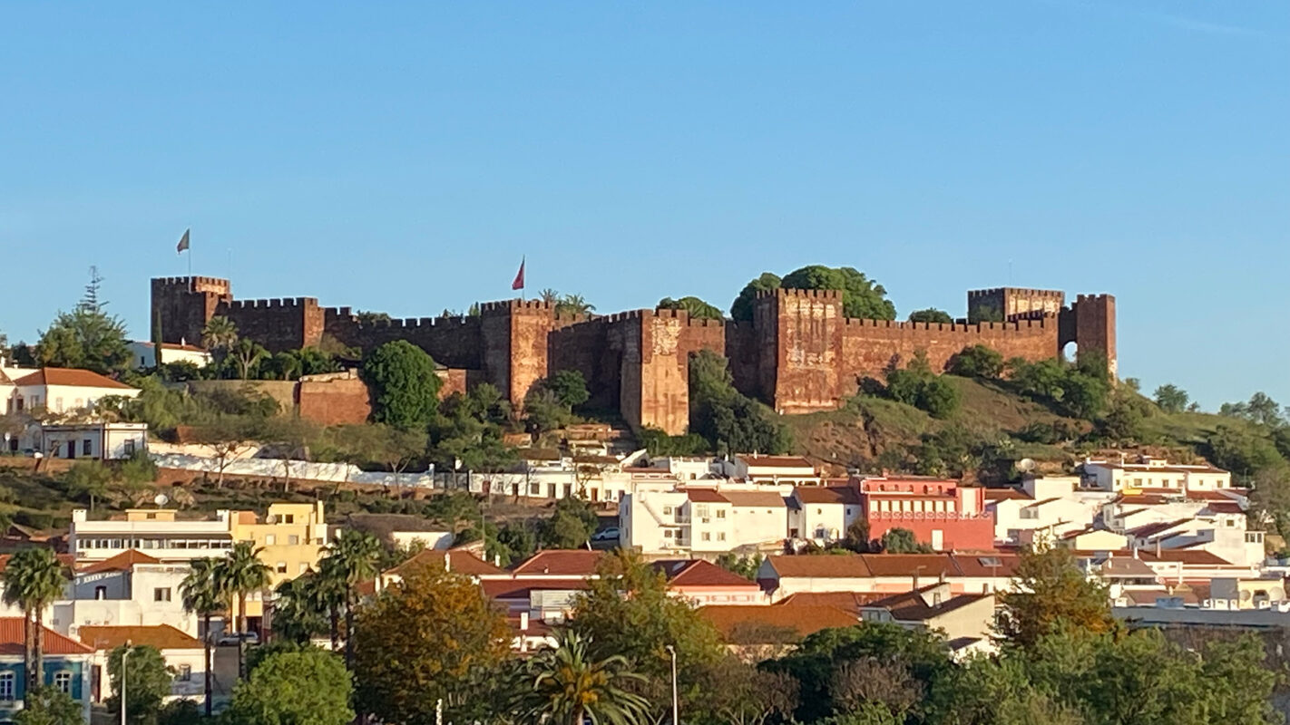
Sao Bartolomeu de Messines – Silves, 29 km | 18 mi

Stage 10:

Silves – Monchique, 32 km | 19.9 mi

Stage 11:

Monchique – Marmelete, 14.8 km | 9.2 mi

Stage 12:

Marmelete – Bensafrim, 30 km | 18.6 mi

Stage 13:

Bensafrim – Vila do Bispo, 29.7 km | 18.4 mi

Stage 14:

Vila do Bispo – Cape Saint Vincent, 16.4 km | 10.2 mi

Accommodations

The best time of the year to walk the trail is the colder months, since the rainfall in this area is quite small, and the trail does not offer great protection against the sun, making the summer months much harder to hike due to the heat. Taking this into consideration and due to holiday periods, it is wise to check accommodation availability before starting the hike, since some places close during the winter months.

The association that runs the trail has created several alternative connections to the trail, that allow you, by using local transports, to sleep further from the trail.

Make sure you book in advance a minimum of three nights before starting the trail and have contact with the remaining places to ensure they are open. In case you need transport alternatives, the guide and app give you bus alternatives but it is also good to ask your accommodation for the local taxi numbers as a backup.

Best time of the year

The best time of the year to hike the Via Algarviana is the colder months, October until May, due to the high temperatures you can feel in the summer months and the lack of shade in some areas of the trail.

Always check trail conditions, and local weather forecasts before embarking on your daily hike and ensure that you have the necessary gear for the conditions you will face. Additionally, consider your hiking experience and skill level, as some trails can be challenging and require a higher level of fitness.

Safety & Gear

To prepare for the Via Algarviana, pack lots of water, snacks, and electrolytes! This area of Portugal can be sweltering hot and you’ll need to take special care to beat the heat.

Start early each day to arrive before the sun is too high, and take advantage of shady areas to rest. Listen to your body and fill up your water at all opportunities.

Additionally, it’s always a good idea to share your itinerary, including your anticipated end date, with someone you trust. If something changes, be sure to let them know.

Finally, adhere to the Leave No Trace principles. Make the trail better than you found it!

Good to know

It can get very hot on this trail. Ensure you have enough water, avoid hotter seasons, and avoid hiking in peak heat hours. The trek in some of the stages provides barely any protection against the sun.

Route
Point to point
Highest point
774m (2427 ft)

Guidebooks

Via Algarviana guidebook

View guidebook

Want to submit a trail or make this page more complete?

Always read the disclaimer

Terms of Use: important to all visitors on this website. We strive to publish high quality content and information on this website. However it’s always possible that we’re missing out on some crucial information. In spite of the fact that this route, associated GPS track (GPX and maps) were prepared under diligent research by the specified contributor and/or contributors, the accuracy of such and judgement of the author is not guaranteed. Therefore, hiking-trails.com and contributors are in no way liable for personal injury, damage to personal property, or any other such situation that might happen to individuals hiking or following this route. Should you choose to hike this trail, this is always at your own risk. Check out our guidelines for safety hiking and Leave No Trace principles at the hiking 101 page.

Download GPX

Join the community!

Login or create a FREE account 😊

With an account you can:

Download GPX files

Pin trails to your wishlist

Mark trails as hiked by you

Rate hiking trails

Comment on trails, blogs and gear reviews

Happy trails!
Login

Don't have an account yet? Register here