About the Wolf Trail

country
Germany, Austria, Italy, Poland, Slovenia, Switzerland
length
3493 km(2170 mi)
Type of trail
Thru-hike, Long-distance
difficulty

Difficulty is highly personal. Be aware of the weather conditions as bad weather turns easier trails in difficult trails especially in the mountains.

Difficult
accommodation

Lodging means a mix of hotels, hostels or AirBnB’s.

Lodging, Camping, Mountain huts, Wild camping
Elevation gain
78416 m(257270 ft)
terrain
Mountains, Coastal, Countryside, Forest, Hills
remoteness
Most of the time
Show more

The Wolf Trail is Europe’s newest thru-hike that takes you from the Polish coast, through the Alps, and to the Mediterranean. You will hike coast-to-coast from northern Poland to Trieste on the Adriatic Sea in Italy through forests, countryside, and mountains. The trail was created by the outdoor brand Jack Wolfskin to bring more hikers to these beautiful regions of the continent.

The Wolf Trail is comprised of many pre-existing, but less-traveled, trails like the E-paths and many smaller trails throughout Germany, and will take you to some incredible natural spaces in the region. Also guiding you to many of the small villages of Poland, Germany, Switzerland, Austria, Slovenia and Italy, the Wolf Trail will show you a new side of Europe. You can follow the first ambassador hikers on the trail in 2026 on our Instagram page @_thru_hiking.

Elmar profile picture
Editor

Elmar Teegelbeckers

Passionate hiker Elmar spends months of his time on the trail. He’s usually on the lookout for hidden gems in one of his favourite countries such as Slovenia, Switzerland and Japan. He founded hiking-trails.com in need for a community and detailed information about the trails. Before this, he worked for the Alpine asscociation in the Netherlands[ (NKBV) but lost his heart to the trails.

Not long ago, Elmar published the book (in Dutch) Hiking Trails – best long-distance trails in Europe. With this book, website and socials, he hopes to inspire and shape an inclusive community for hikers all over world. No matter your speed, experience or level, you can get out there to enjoy the trails and connect with the heartwarming hiking community. Life is so much better outside and he hopes to inspire hikers to take their first, or next, step on the trail.

You can reach Elmar at info@hiking-trails.com.

View profile

The Trail

The trail has seven main sections, each between 300 and 600 kilometers, as you hike through the six countries. You will start the Wolf Trail along the Polish Baltic coast, walking from Hel toward Świnoujście. The path will stay flat and open as you follow the sandy beaches, pine forests, and dunes with the sea always nearby. This part will feel calm and repetitive in a good way, giving you time to find your pace and settle into the long-distances each day. Here, you will also come across the shifting dunes of Słowiński National Park to break the pattern with their constantly shifting sands that will feel almost desert-like.

From Świnoujście, you will continue from the coast toward the inland lake districts. You will still follow shoreline sections, crossing islands like Usedom and passing small seaside towns with working harbors and old promenades. Gradually, the route will turn inland toward Lübeck and the Lauenburg Lakes Nature Park. The beaches will fade into forests and countryside. You will walk beside lakes and through low hills now. The hiking will still remain easy, but the scenery will have a bit more variety now than the coast as you walk past water, woodland, and farmland. Plus, in the spring, you will hopefully see lots of baby animals on the farms!

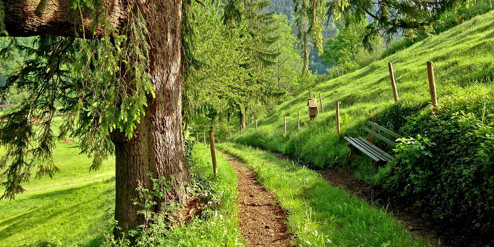
Leaving Geesthacht, you will move from the northern plains into the first real uplands. The trail will take you to heathland, fields, and wooded hills as you head toward the Weserbergland and the Teutoburg Forest. You will start to feel the climbs and descents a bit more now as the trekking becomes more physically demanding. This section is where you will say goodbye to flat walking and welcome in more hills and daily climbs.

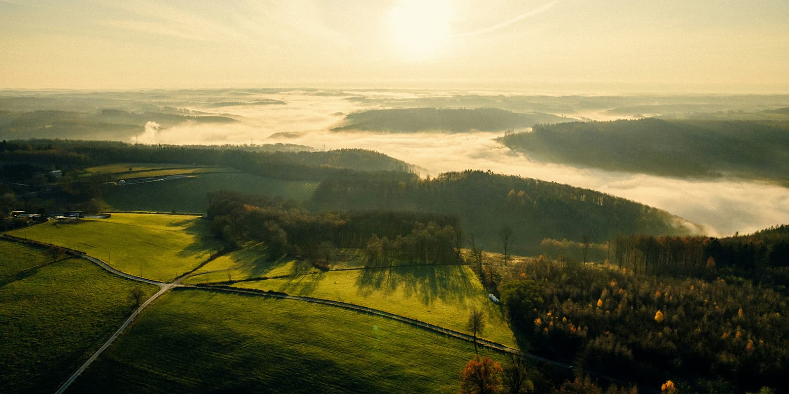
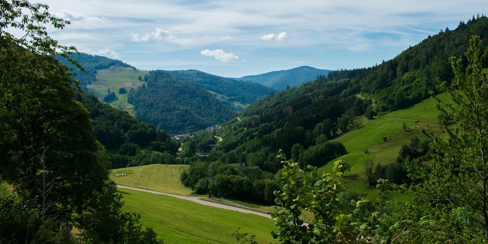
After Marsberg, you will enter a long sequence of low mountain ranges. Here, you will hike through the Diemelsee Nature Park and continue toward Winterberg and the Kahler Asten. This is where you will follow parts of the Rothaarsteig, high above the valleys on ridges. You will then cross the Nassau Nature Park and the Soonwald and Nahe regions, where the hills are forested as you hike through narrow valleys that will guide you toward Bad Dürkheim.

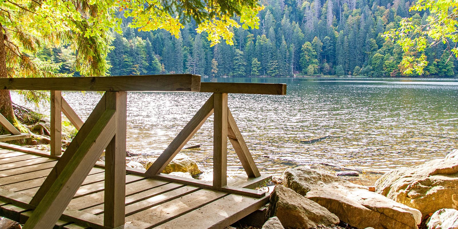
From Bad Dürkheim, you will hike southwest toward Lake Constance in Southern Germany. You will cross the Palatinate Forest’s rocky paths and then continue into the famous Black Forest. The route will take you past higher points like the Feldberg and through dense spruce and fir forests that are characteristic of the area. Eventually, you will drop out of the mountains into the basin of Lake Constance, where the water and Alpine silhouettes will replace the forests you’ve spent so long in. This area has been said to feel like a Disney setting because it is so beautiful. Be sure to take some rest time here and soak it up!

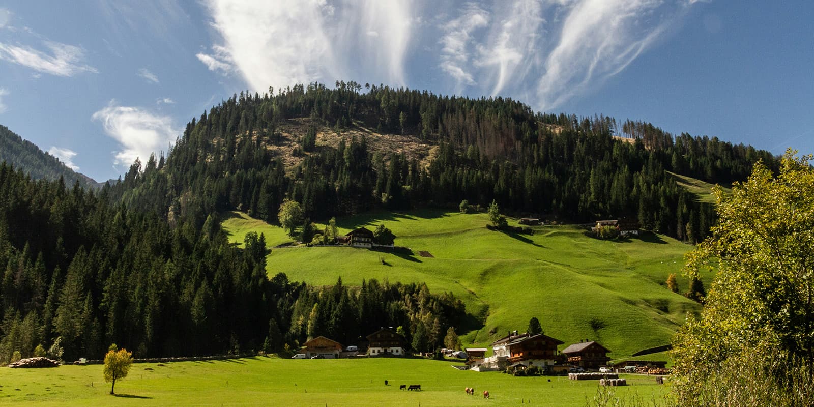
From Lake Constance, you will enter the Alps and South Tyrol. You will climb into the Nagelfluhkette, hiking through alpine valleys and small mountain villages. Here, the route will link onto long-distance trails like the Via Alpina and the E5. You will then cross high passes and through open meadows above the tree line. It will feel glorious to be in the mountains after so long on flat ground. Expect long ascents and exposed stages in this section. The walking will continue to become fully alpine as you approach Bolzano.

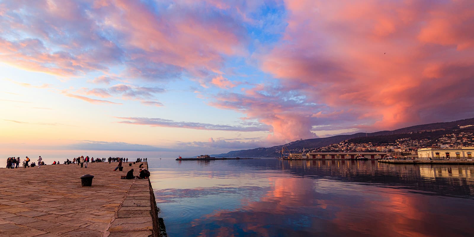
The final stretch will take you from Bolzano across the Dolomites toward the Adriatic Sea. You will cross major passes in the Catinaccio and surrounding ranges, then begin a long descent toward warmer landscapes. The forests will thin out, the valleys will widen, and Mediterranean vegetation will start to appear. You will leave the high mountains behind and finish at Muggia, near Trieste, where the trail will end at the sea, and you will have finished this amazing thru-hike.

Stages

Because the Wolf Trail is 3500 kilometers long, the daily stages will vary based on your pace, weather, and other factors that will come into play on the ground. What is better to delineate are the larger sections of the trail. Each section is about 300-600 kilometers long and can also be hiked individually as a section hike.

Sections of the Wolf Trail

Stage 1:

Polish Baltic Sea Coast, 428 km | 266 mi

Stage 2:

Baltic Coast to the Lake District, 543 km | 337.5 mi

Stage 3:

The Flat North to the Low Mountains, 487 km | 302 mi

Stage 4:

Low Mountain Ranges and Hills, 583 km | 362 mi

Stage 5:

Palatinate Forest to Lake Constance, 581 km | 361 mi

Stage 6:

Lake Constance across the Allgäu Alps to South Tyrol, 394 km | 245 mi

Stage 7:

Dolomites to the Adriatic Sea, 591 km | 367 mi

Accommodations

Throughout the Wolf Trail, you will stay in many different types of accommodations. Depending on the section, you will have the options to stay in lodgings, mountain huts, guesthouses, fine hotels, old hostels, campsites, and even the occasional wild camp. Luckily, the trail passes through villages very often, so you will never be too far from an accommodation or resupply.

For some regions, like Italy and Austria, accommodations in the mountain huts are often booked out quickly and should be reserved far ahead of time. Although if you hike alone or in a small group, the mountain huts most likely will let you stay if you ask very (very) kindly.

Best time of the year

The best time of the year to hike the Wolf Trail is spring through early autumn. This is a wide window for hiking, and of course, the summer months will have the warmest weather for the mountains. However, starting in early spring will give you quieter trails for the most part and make sure that the snow is melted by the time you reach the high mountains in the south. And if you choose to stagger your hike to start in early summer and end in early fall, you will likely be able to skip most of the larger crowds in the south as well.

Safety & Gear

Preparing for the Wolf Trail will be paramount to an enjoyable and successful attempt at the hike. While, of course, life happens no matter how prepared we are, preparing well will help to mitigate any of the easier-to-avoid problems that can arise when thru-hiking. First, packing is going to be one of the most important ways you can prep. Make sure you bring lightweight, weather-proof clothing and shoes that you can rely on. For the most part, you will be okay with trail running shoes (but may need to be prepared to have someone send you a second pair!), coupled with gaiters to keep them dry on rainy days.

Clothing for the Wolf Trail is an interesting challenge because, as you hike through the seasons and head south, the weather and conditions will change. Bringing layers that can serve multiple purposes will be very helpful. This could look like a mid-layer fleece paired with a puff jacket that you wear during the day in the beginning, but by the end of the trail, you will use it as your only layer in the evenings with just a t-shirt under it.

Other things to bring with you will be a basic first aid kit (and the knowledge to use it), a satellite device, and the downloaded GPX for the trail. Another optional but helpful item is a power bank to recharge your satellite device, navigation device, phone, or even headphones. You can find our full gear list for thru-hikes and long-distance trails on our gear page.

Finally, you can prepare for the Wolf Trail by training physically and mentally beforehand. Test hikes and runs on trails will be helpful, along with getting ready to push through even in difficult conditions. You should also share your itinerary with someone you trust, and make a plan for where you are going to sleep and resupply your food throughout the hike.

Difficulty

The Wolf Trail is a difficult trail, and it is qualified as difficult for a few reasons. The first reason the Wolf Trail is considered to be difficult is the endurance required to complete the trail. Hiking for 4-6 months on varying terrain in remote settings can be very challenging, especially for folks who are new to thru-hiking. The second reason the Wolf Trail is difficult is the strenuous sections through the mountains near the end of the trail. When combined with the length of the trail and the fatigue that accompanies long endurance hikes, hiking across strenuous alpine sections can become even more difficult. Because of this, it is important to train properly, both physically and mentally, for a trail of this caliber.

You can train for the Wolf Trail by working on physical endurance and strength in the gym and on trails near your home before you set out, and working on other (seemingly small) skills like balance that will make a world of difference when you begin. Additionally, you can strengthen your mental resolve by hiking in difficult conditions before you go. This could look like taking a hike or run in the rain/snow/wind, or even the heat (with lots of water!).

Good to know

The Wolf Trail is a new trail created by the German outdoor brand Jack Wolfskin. The trail is possible to access in most stages via public transportation or by car in the case of section-hiking or emergency. Because it runs through so many villages, towns, and cities, you will be able to resupply food and water throughout the trail  without needing to carry too many extra supplies.

You can follow the first hikers on the Wolf Trail in 2026 on our Instagram page @_thru_hiking. Happy Trails!

Want to submit a trail or make this page more complete?

Always read the disclaimer

Terms of Use: important to all visitors on this website. We strive to publish high quality content and information on this website. However it’s always possible that we’re missing out on some crucial information. In spite of the fact that this route, associated GPS track (GPX and maps) were prepared under diligent research by the specified contributor and/or contributors, the accuracy of such and judgement of the author is not guaranteed. Therefore, hiking-trails.com and contributors are in no way liable for personal injury, damage to personal property, or any other such situation that might happen to individuals hiking or following this route. Should you choose to hike this trail, this is always at your own risk. Check out our guidelines for safety hiking and Leave No Trace principles at the hiking 101 page.

Download GPX

Join the community!

Login or create a FREE account 😊

With an account you can:

Download GPX files

Pin trails to your wishlist

Mark trails as hiked by you

Rate hiking trails

Comment on trails, blogs and gear reviews

Happy trails!
Login

Don't have an account yet? Register here