As a loop trail, you can start El Anillo de Picos in Poncebos, Cangas, Sajambre, Valdeón, Liébana, Sotres, or Cabrales. However, the most common and convenient starting point is Poncebos. The included GPX begins in Posada de Valdeón, but we recommend that you begin in Poncebos for easier access with public transportation via Las Arenas.
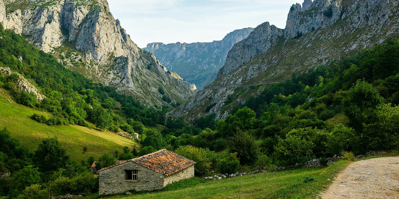
From Poncebos, you will walk 14 km to Refugio de Ario on the first day. This is partly over one of the most renowned trails in the Picos de Europa: Ruta del Cares. It’s an amazing start to this long-distance trail. While it isn’t many kilometers, the initial climb out of the valley will remind you of why you chose this challenge. Be aware that this is a trailless route, so you will need to rely on cairns and your GPX to find the way. There are also occasional yellow and white trail markers to confirm you’re on the right path.
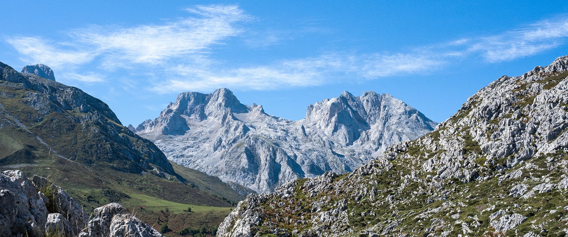
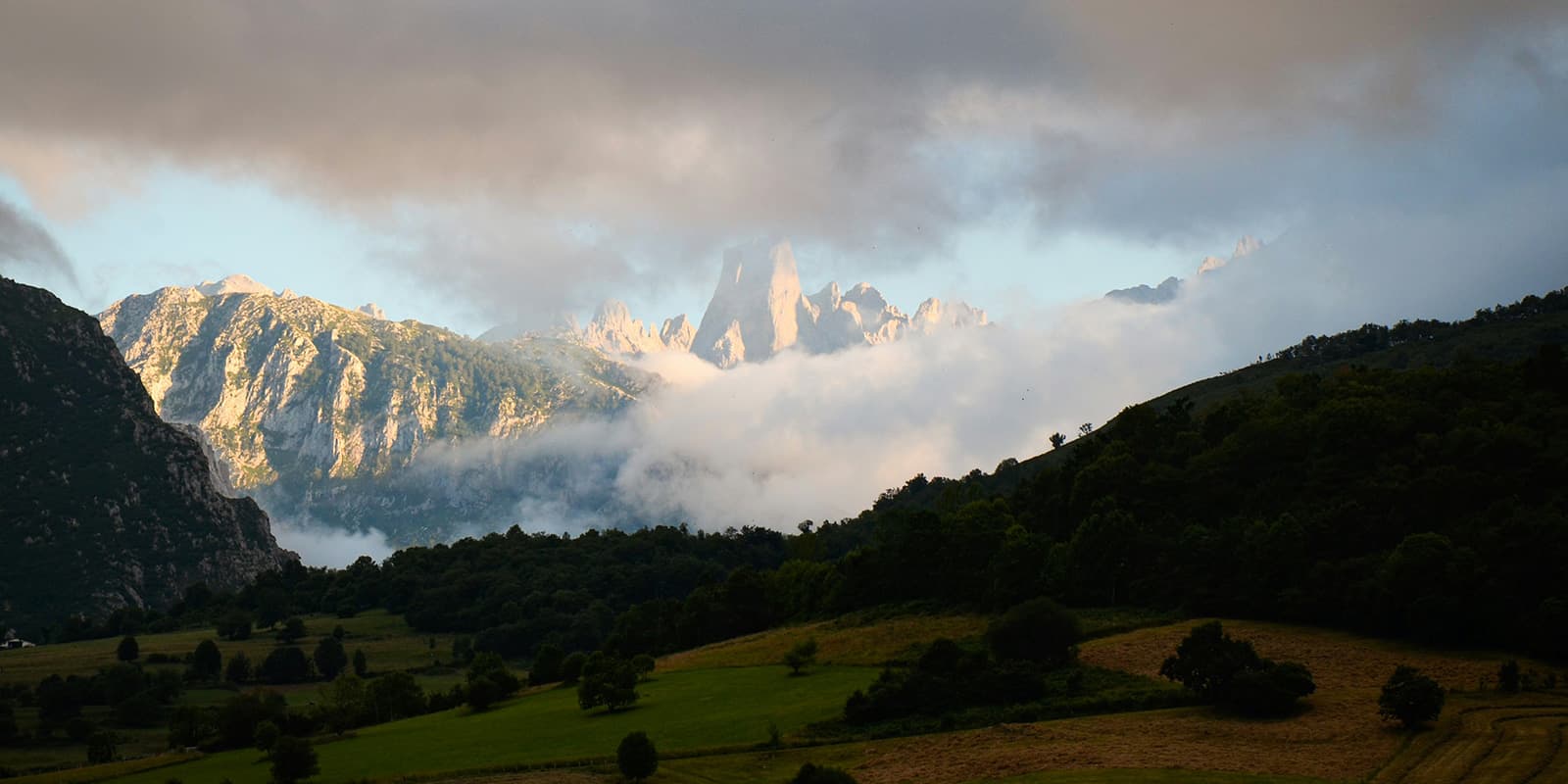
From Refugio de Ario, you will then continue 15.5 km to Refugio Vegarredonda. The trail moves through grazing areas in the high plateaus, where you will see lots of limestone towers and have some shorter descents and climbs than the day before. These are still on scree fields and have a high difficulty, though. You’ll cross open ground with few trees and follow clear mountain paths toward the next hut. Refugio Vegarredonda sits in a higher basin surrounded by peaks.
Stage 3 is about 17 kilometers from Vegarredonda to Refugio Vegabaño. You begin on rocky ground and then gradually drop toward the beech forests of the area. The terrain changes a lot, and you’ll hike on exposed ridges, through wooded sections, and on old shepherd paths. You will also spend some time on scree fields, so be extra careful with your balance and concentration. There is a great spring, the Fuenta Prieta, on the trail this day, so you can refill your water. If it is overcast or rainy, it’s recommended that you hike near the lakes, which should have better visibility. You finish the day at Vegabaño, set below the cliffs on the edge of the central massif and situated in the beech forest, which creates a great contrast.
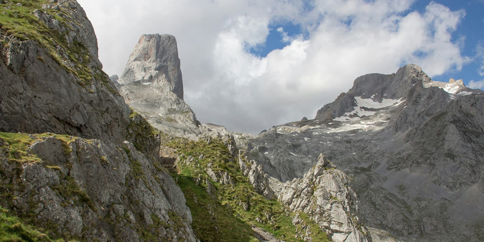
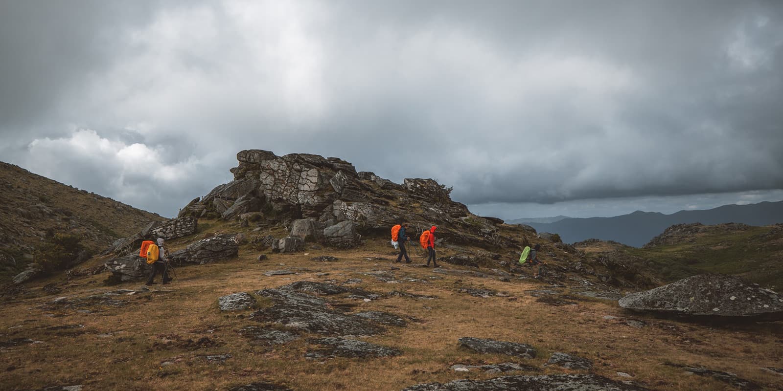
Stage 4 is one of the longer days of the trail, 19.2 kilometers, and goes from Vegabaño to Refugio Collado Jermoso. After a descent in the morning, you will climb for the rest of the day, crossing passes and moving into much steeper and more mountainous terrain. Expect a full day on your feet (and hands). The scree slopes of the second half of the day are very steep and will require you to use your hands as well as your feet to keep your balance and climb up to the hut.


