About the Almweg 2000

Alps
country
Italy
length
27 km(17 mi)
Type of trail
Long-distance, Hut to hut
difficulty

Difficulty is highly personal. Be aware of the weather conditions as bad weather turns easier trails in difficult trails especially in the mountains.

Moderate
accommodation

Lodging means a mix of hotels, hostels or AirBnB’s.

Mountain huts
Elevation gain
1619 m(5312 ft)
terrain
Mountains
remoteness
Most of the time
Show more

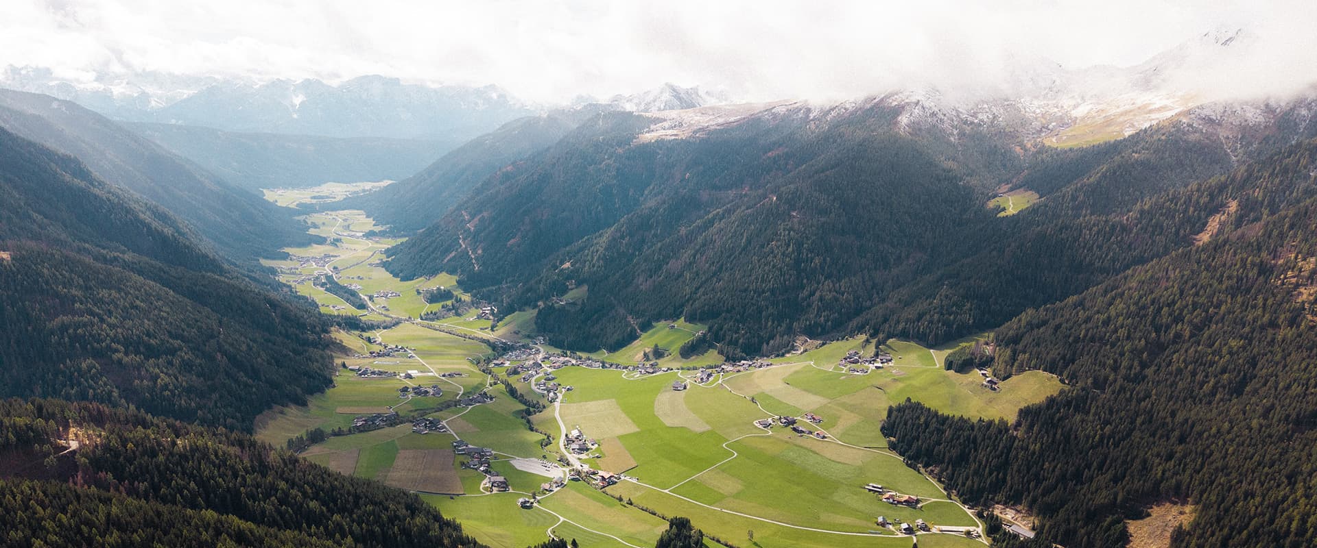
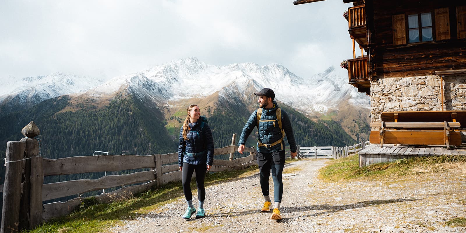
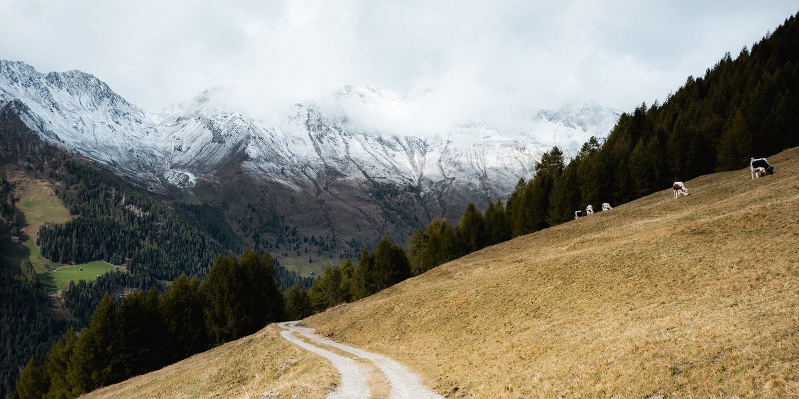
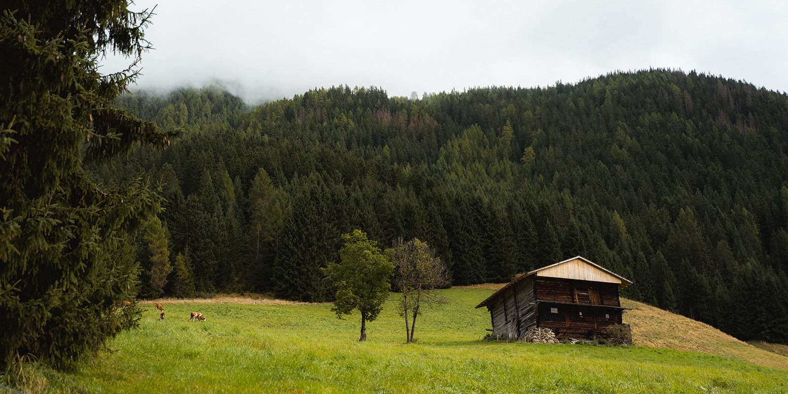
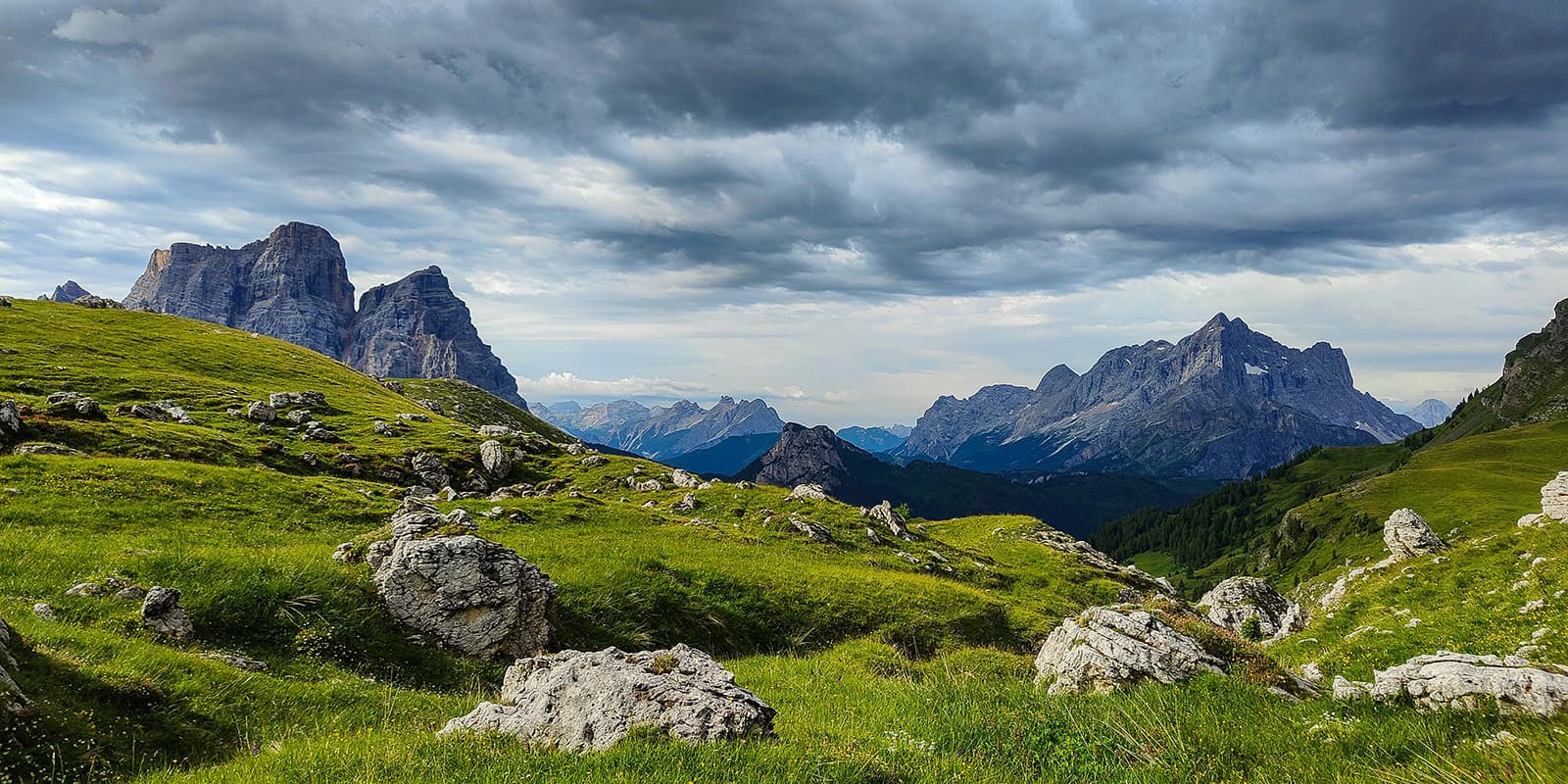
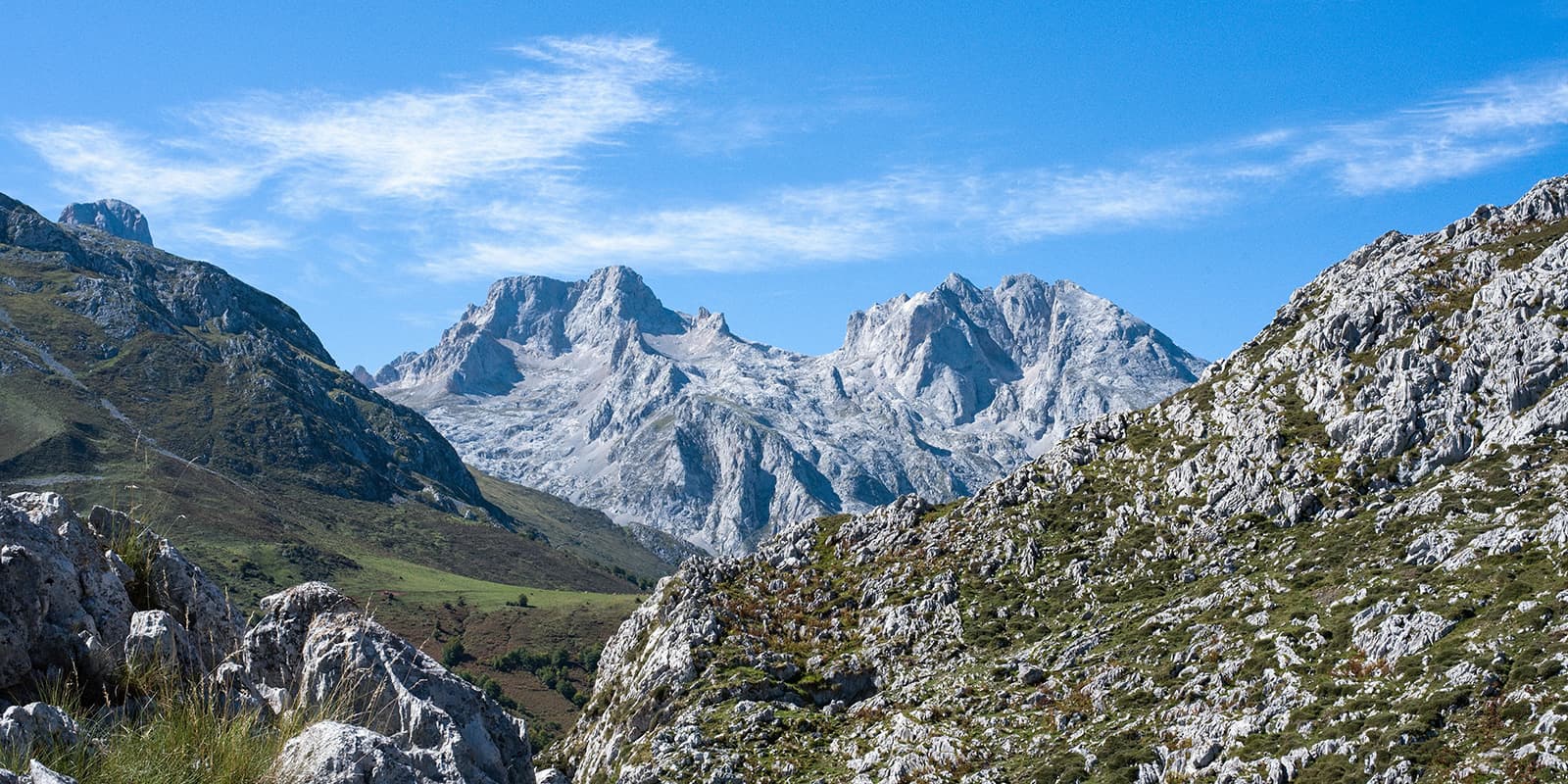
The Almweg 2000 in the Gsiesertal Valley is a high-alpine trail with gentle slopes and beautiful mountain pastures in the Dolomites. Starting from the village of San Martino in Casies (St. Martino) or its neighbor St. Magdalena in Casies, you follow a trail that stays mostly around 2,000 meters above sea level. You will hike along alpine pastures, small huts, and have great views of the Dolomites the entire time.

The Dolomites are a beautiful destination for hiking, but this trail should only be attempted by hikers who are comfortable hiking at 2000+ meters above sea level. The trails in the Dolomites have slippery, gravel-like stones, which can make trekking difficult in bad weather. Only attempt this route if you feel comfortable with high alpine hiking.

Elmar profile picture
Editor

Elmar Teegelbeckers

Passionate hiker Elmar spends months of his time on the trail. He’s usually on the lookout for hidden gems in one of his favourite countries such as Slovenia, Switzerland and Japan. He founded hiking-trails.com in need for a community and detailed information about the trails. Before this, he worked for the Alpine asscociation in the Netherlands[ (NKBV) but lost his heart to the trails.

Not long ago, Elmar published the book (in Dutch) Hiking Trails – best long-distance trails in Europe. With this book, website and socials, he hopes to inspire and shape an inclusive community for hikers all over world. No matter your speed, experience or level, you can get out there to enjoy the trails and connect with the heartwarming hiking community. Life is so much better outside and he hopes to inspire hikers to take their first, or next, step on the trail.

You can reach Elmar at info@hiking-trails.com.

View profile

The Trail

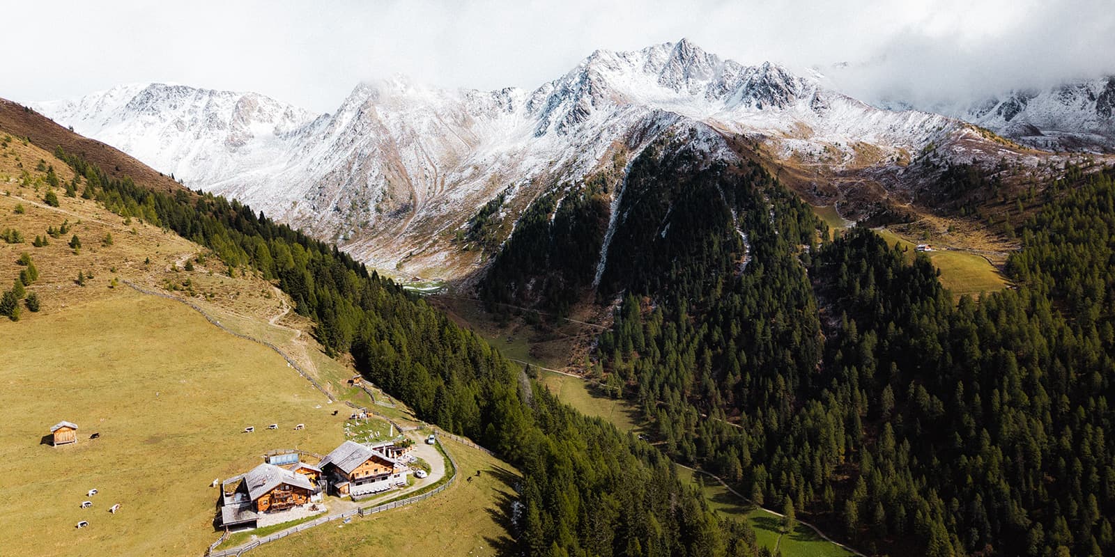
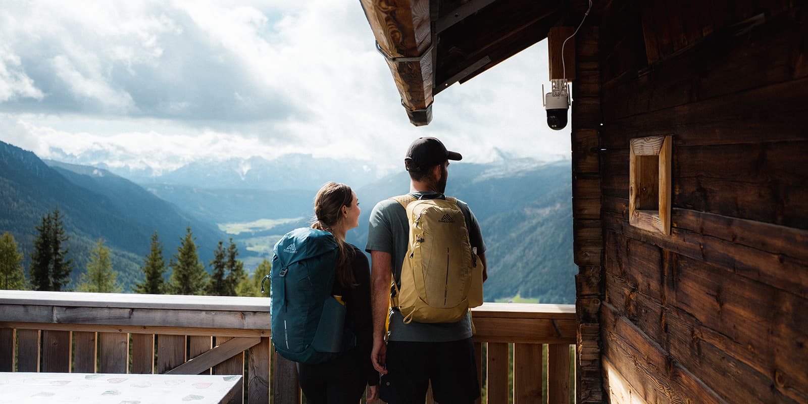
On the trail, you’ll pass huts like the Kaser Alm (2,076 m) and the Uwaldalm (2,042 m) that give you good stopping points for a rest, a snack, and a drink. Most people split the trail into two days to stay near one of the alpine huts overnight and soak in the mountains at night. You can decide how much you want to hike each day, depending on where you sleep at night.

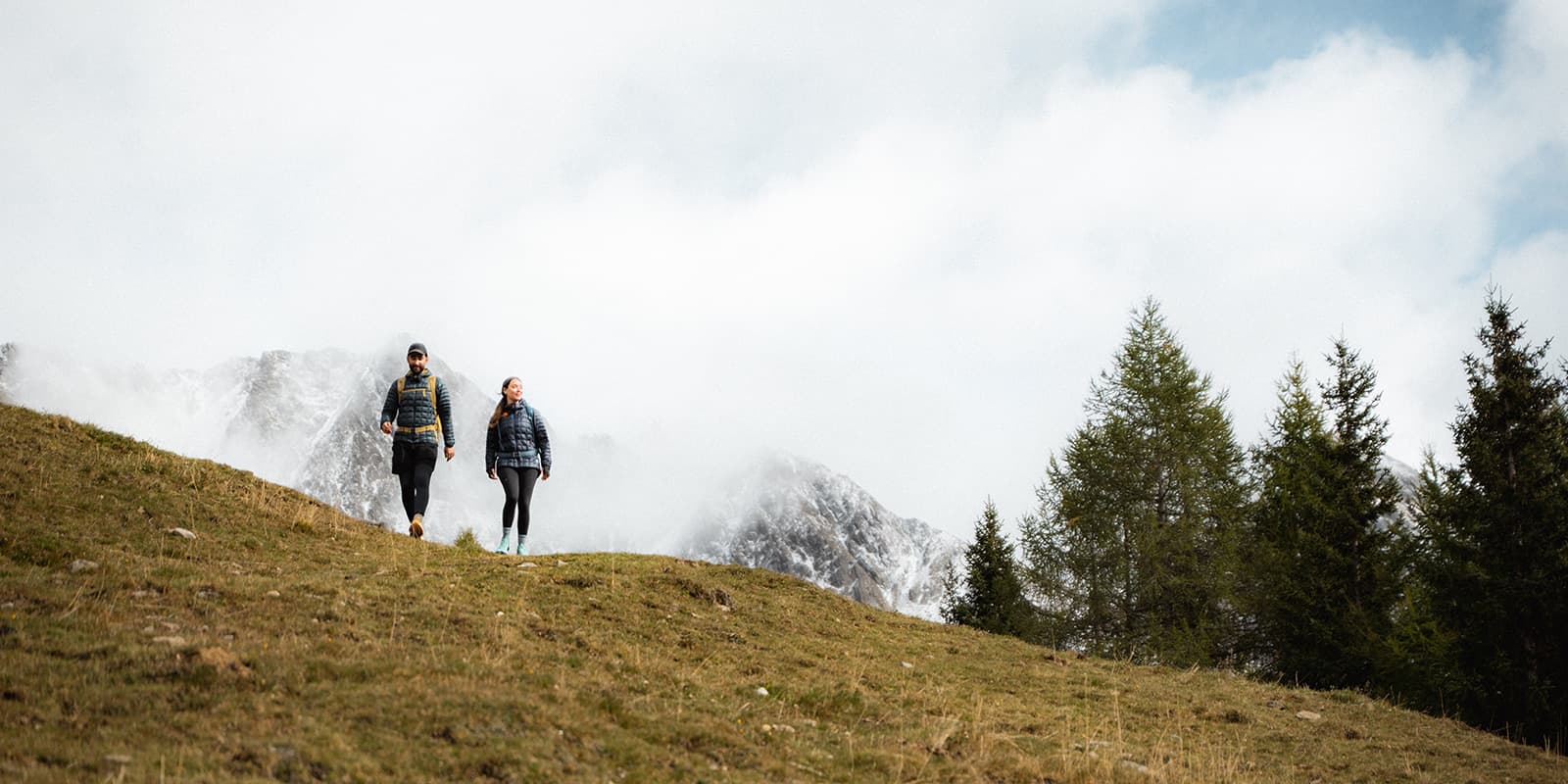
The trail has gentle ascents and descents rather than the usual Dolomite brutal climbs. The Almweg moves through ridgelines and pasture terrain, rather than steep rock faces, which makes it ideal if you’re comfortable with some height but still want an enjoyable, steady multi-day hike. Along the way, you’ll find alms that are characteristic of the Dolomites’ culture with lots of cows grazing, wildflowers, bells chiming, and wide open skies. Be prepared for altitude, though: you’re mostly around 2,000 meters the whole time, so the weather can shift quickly.

Stages

By design, the Almweg 2000 passes many different alms throughout the route. This means that you don’t have to stay at the alms suggested below; you can adjust your trek to your preferences. The only important detail is that you book your stay far ahead of time.

Almweg 2000 2-stage itinerary

Stage 1:

S. Martino / S. Maddalena – Uwald Alm, 19.7 km | 12.2 mi

  • Alternative: S. Martino / S. Maddalena – Kaser Alm, 21.7 km | 13.5
Stage 2:

Uwald Alm – Tscharnied Alm, 7 km | 4.3 mi

  • Alternative: Kaser Alm – Tscharnied Alm, 5 km | 3.1

Accommodations

You will stay in alms throughout the trek. The most crucial part of making this hike a success is booking your accommodations ahead of time, as these huts can be very, very popular in the Dolomites. You must book on their websites (and sometimes by calling or emailing) when they open their availability in early spring to secure your bed(s) for the night. Additionally, you should bring a sleeping bag liner, as the hut will provide a blanket and pillow, but not sheets.

Best time of the year

The best time of year to hike the Almweg 2000 is between April and October. This is when the paths will be clear of snow and the huts will be open. Earlier or later than this, you may have ice or snow on the trail and may be hiking the Almweg without the alms! You may have more luck booking the huts in the earlier or later months in this window, as the most popular months are the middle of summer, June through August/September.

Safety & Gear

Packing for the Almweg 2000 will be similar to other hut-to-hut packing lists: layers, a sleeping bag liner, snacks, a good backpack and shoes with good grip are non-negotiables. You may also want to bring poles and a basic first aid kit, as the small stones that the Dolomites are famous for can get slippery, especially on the descent.

If you don’t regularly hike, you may want to train ahead of time for this hike. To have a more enjoyable time on the trail, you can work on balance exercises, improve cardiovascular health, and even do strength training.

Difficulty

The Almweg 2000 is rated as moderately difficult because of its elevation gain over two days. However, this is also broken up with many alms where you can have refreshments. The trails are well-maintained and signposted with a singular red dot, so you will be okay for wayfinding as you go. Nonetheless, a strong level of fitness is recommended.

While popular for tourism, the Dolomites are a mountainous region with many accidents in recent years. Before beginning this hike, seriously assess your comfort in the alpine and your ability to hike 1619 meters uphill in two days.

Good to know

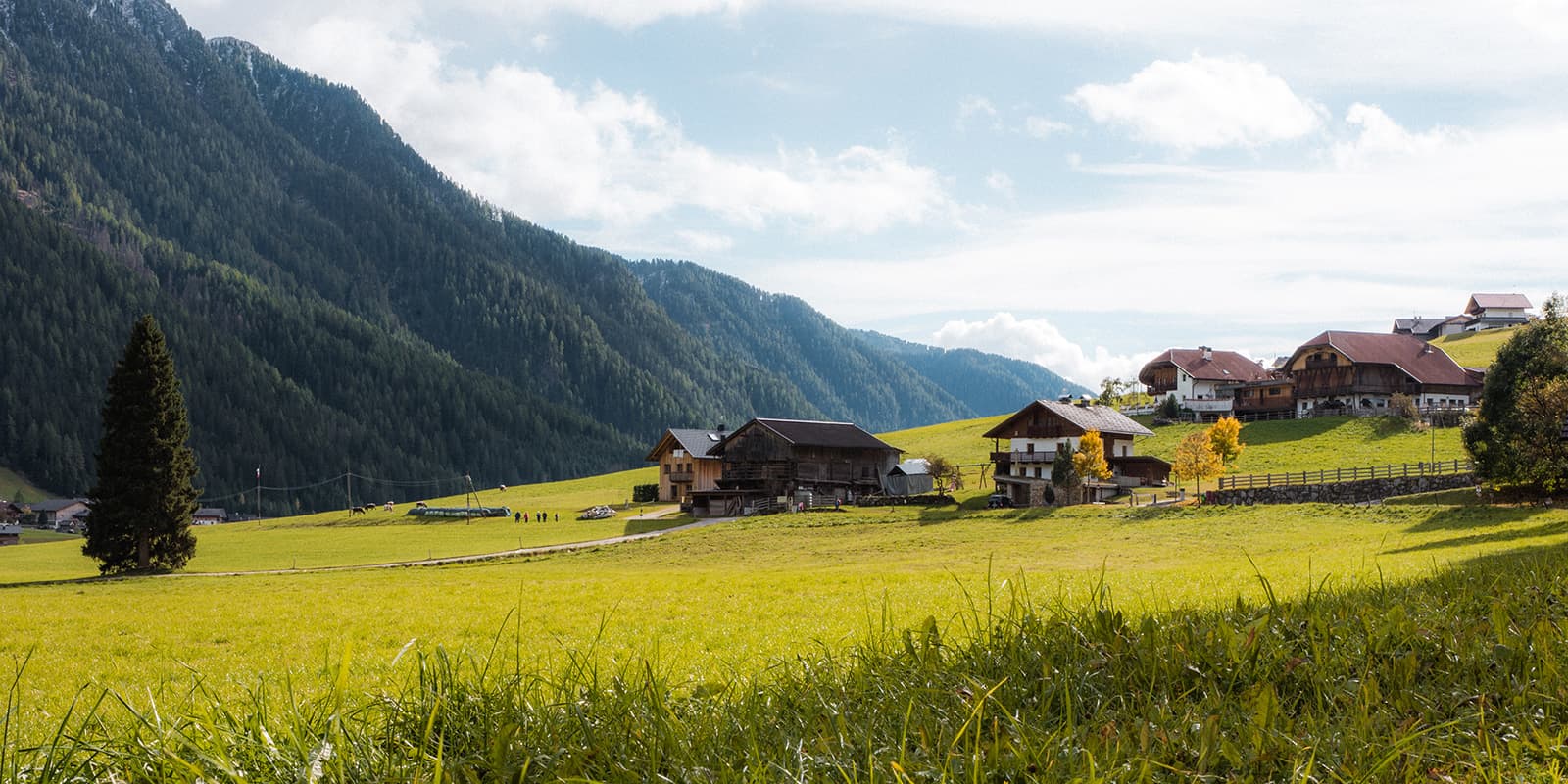
If you’re coming by car, follow the A22 Brenner highway to the Bressanone/Val Pusteria exit, then continue along the SS49/-E66 for around 58 km until you reach Monguelfo (Welsberg). From there, turn off west into the Val Casies/Gsiesertal valley. At the upper end, you’ll find the paid parking lot at S. Maddalena (Santa Magdalena), the typical start point. If you prefer public transport, you can ride the regional trains or buses to the valley and then take bus line 441 into the valley area.

A great bonus for staying overnight in the valley: most accommodations (those registered with the tourist association) will give you a Südtirol Guest Pass (in the Val Casies/Gsiesertal-Welsberg-Taisten area) at check-in. This card gives you free use of all public transport in South Tyrol (regional buses, trains, etc) for the duration of your stay.

route
point-to-point
highest point
2135m (7004 ft)

Want to submit a trail or make this page more complete?

Always read the disclaimer

Terms of Use: important to all visitors on this website. We strive to publish high quality content and information on this website. However it’s always possible that we’re missing out on some crucial information. In spite of the fact that this route, associated GPS track (GPX and maps) were prepared under diligent research by the specified contributor and/or contributors, the accuracy of such and judgement of the author is not guaranteed. Therefore, hiking-trails.com and contributors are in no way liable for personal injury, damage to personal property, or any other such situation that might happen to individuals hiking or following this route. Should you choose to hike this trail, this is always at your own risk. Check out our guidelines for safety hiking and Leave No Trace principles at the hiking 101 page.

Download GPX

Join the community!

Login or create a FREE account 😊

With an account you can:

Download GPX files

Pin trails to your wishlist

Mark trails as hiked by you

Rate hiking trails

Comment on trails, blogs and gear reviews

Happy trails!
Login

Don't have an account yet? Register here