About the Sellrain Valley Mountain Hut Tour

Alps
country
Austria
length
85 km(53 mi)
Type of trail
Long-distance, Hut to hut
difficulty

Difficulty is highly personal. Be aware of the weather conditions as bad weather turns easier trails in difficult trails especially in the mountains.

Difficult
accommodation

Lodging means a mix of hotels, hostels or AirBnB’s.

Mountain huts
Elevation gain
5085 m(16683 ft)
terrain
Mountains
remoteness
Most of the time
Show more

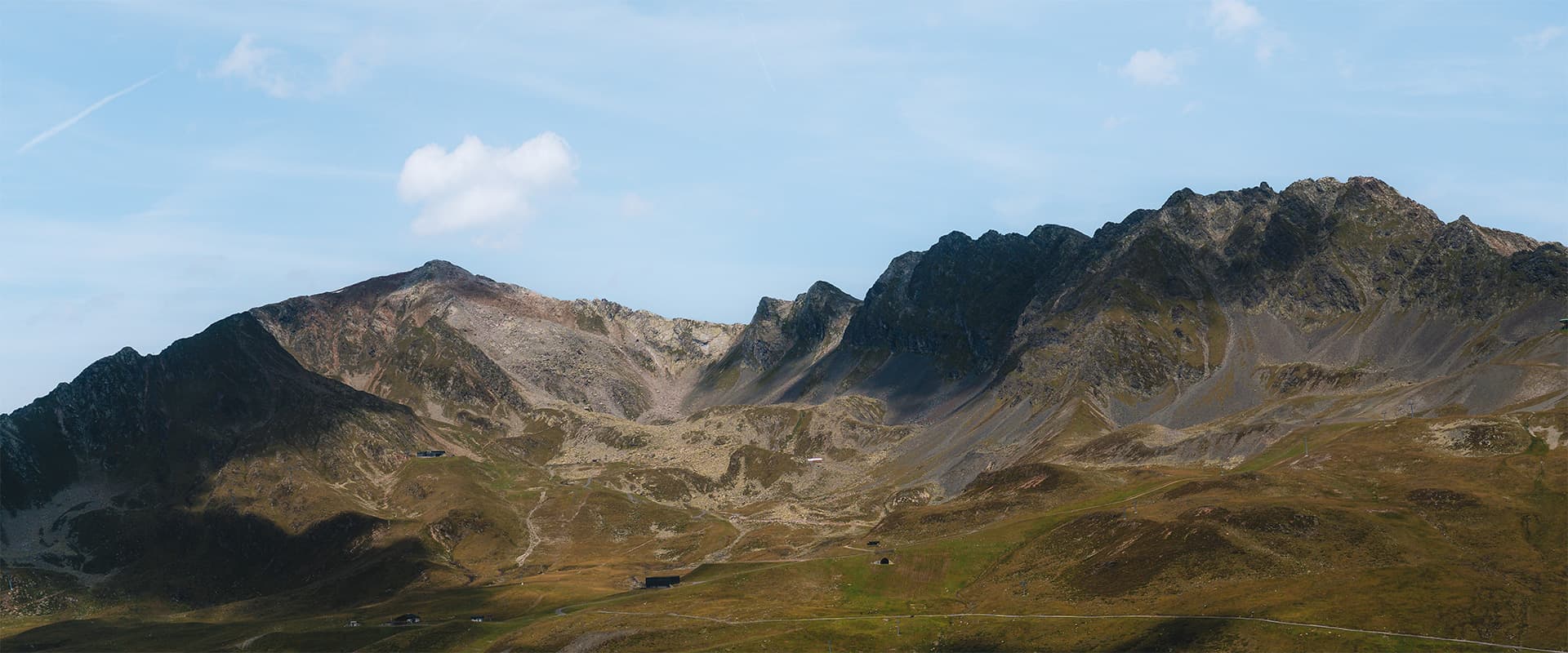
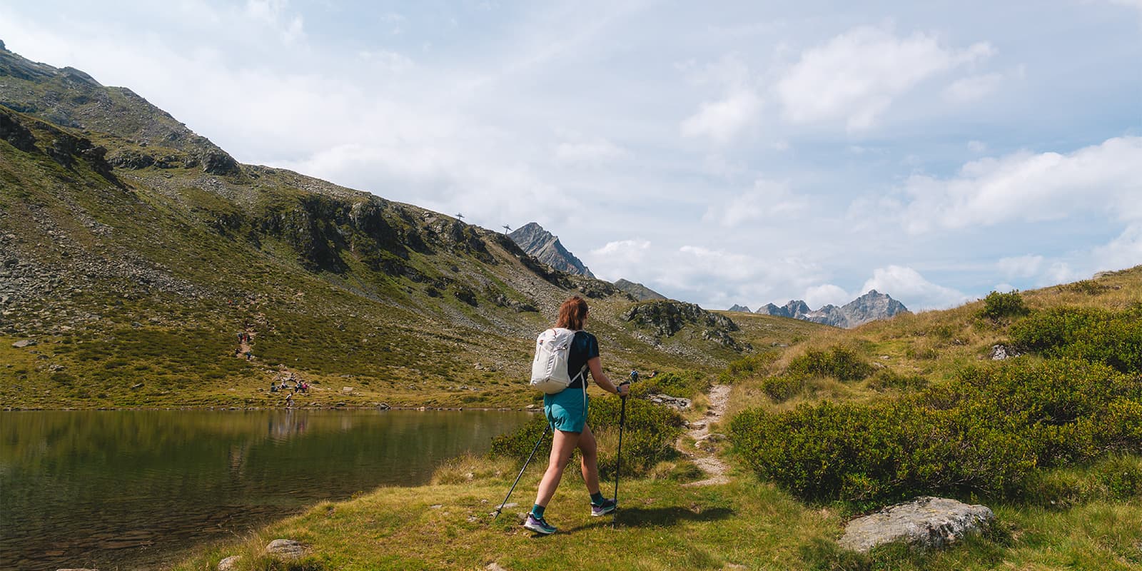
The Sellrain Valley Mountain Hut Tour is one of Tyrol’s most rewarding multi-day hikes, linking seven traditional mountain huts across a loop through the Stubai Alps west of Innsbruck. The circuit covers around 80 kilometers and crosses several high passes, many over 2,800 meters, where you’ll have plenty of views of glaciers, jagged peaks, and wide alpine valleys.

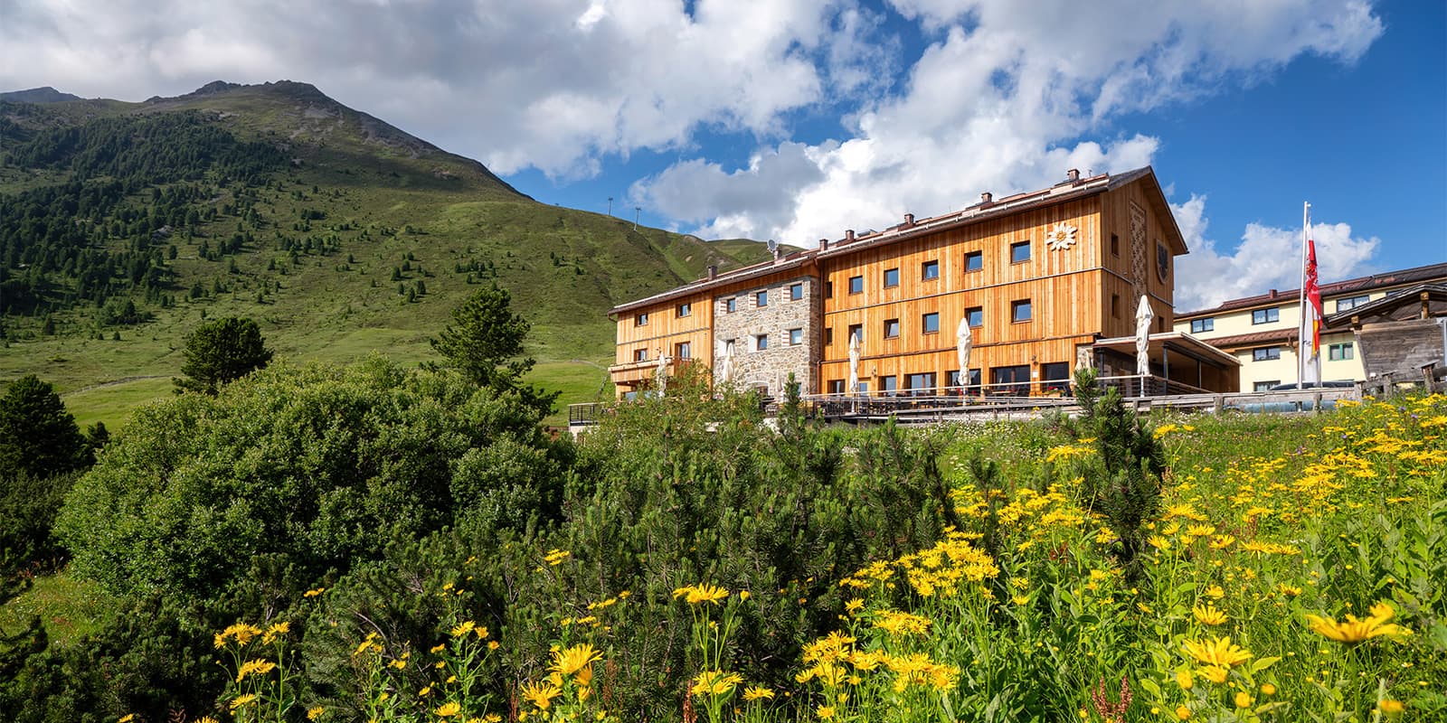
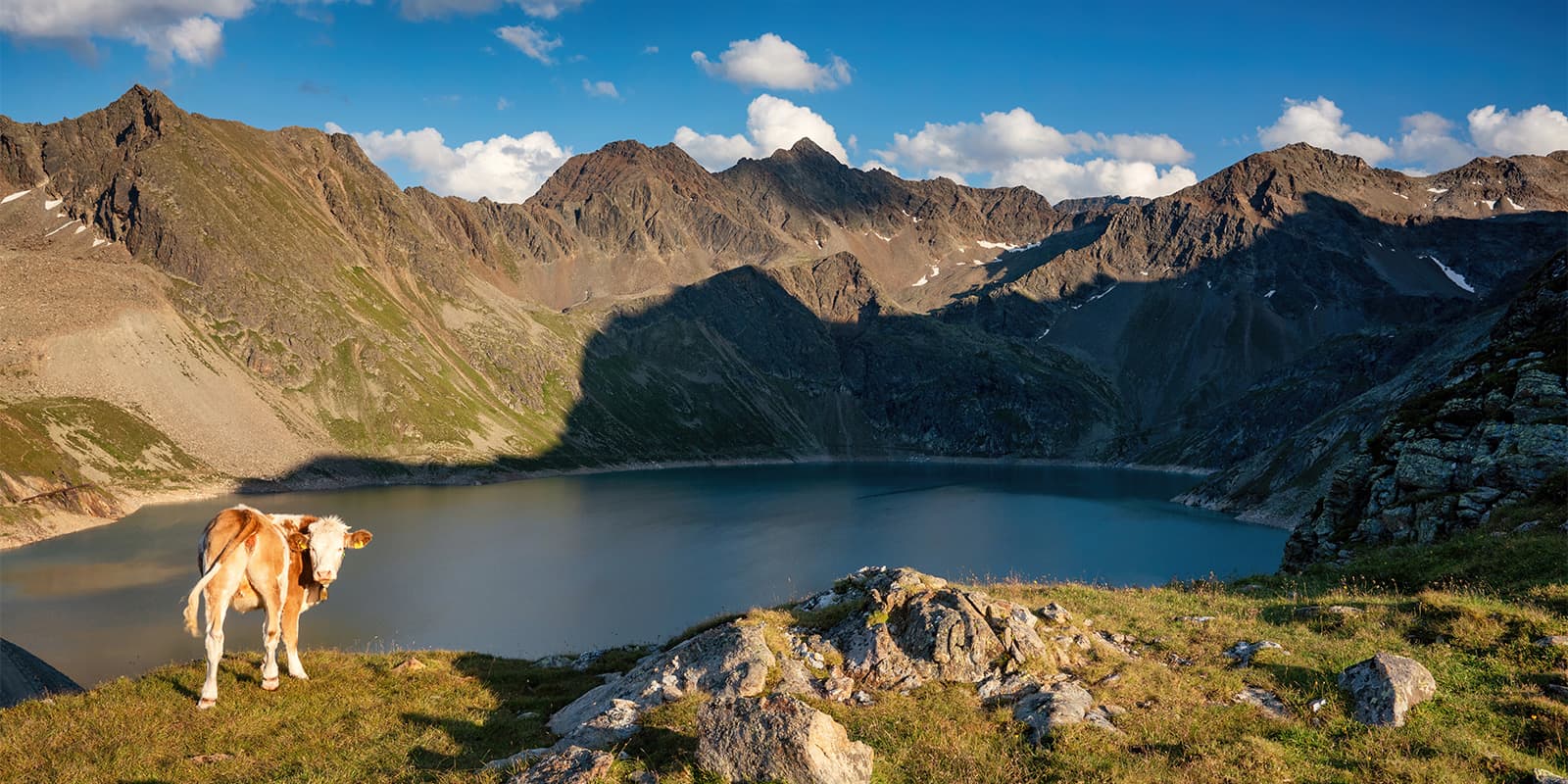
The Sellrain Valley itself is often called “the valley of the mountain huts,” with a long history of alpine farming and mountaineering. Some of the huts on this circuit, like the Pforzheimer and Potsdamer Hütte, date back to the early 20th century and still serve as key basecamps for local alpine clubs. You will likely see wildlife such as marmots, ibex, and golden eagles along the route, and the high meadows are covered in wildflowers through early summer.

Elmar profile picture
Editor

Elmar Teegelbeckers

Passionate hiker Elmar spends months of his time on the trail. He’s usually on the lookout for hidden gems in one of his favourite countries such as Slovenia, Switzerland and Japan. He founded hiking-trails.com in need for a community and detailed information about the trails. Before this, he worked for the Alpine asscociation in the Netherlands[ (NKBV) but lost his heart to the trails.

Not long ago, Elmar published the book (in Dutch) Hiking Trails – best long-distance trails in Europe. With this book, website and socials, he hopes to inspire and shape an inclusive community for hikers all over world. No matter your speed, experience or level, you can get out there to enjoy the trails and connect with the heartwarming hiking community. Life is so much better outside and he hopes to inspire hikers to take their first, or next, step on the trail.

You can reach Elmar at info@hiking-trails.com.

View profile

The Trail

On the first stage, you begin the circuit in Sellrain and head up toward Potsdamer Hütte, covering about 9.3 km. You’ll climb through alpine meadows and forested slopes, gaining altitude steadily. The day’s work focuses on acclimatizing and gaining height without too many technical demands. The terrain is well established, the trail is clear, and your reward is reaching a well-situated mountain hut for your first night.

From Potsdamer Hütte, you’ll set off on the second stage, which is a lot longer than the first (15.9 km), toward Westfalenhaus. This section will test your stamina. You’ll cross ridgelines, descend and re-ascend multiple times, and negotiate a challenging section over Rotenkogel into the Lüsental or Lüsen Valley, depending on which variant you choose. You will face exposed paths, narrow ridges, and alpine terrain that require you be surefooted. At Westfalenhaus, you will settle in for the night in a remote hut in the Schnals / Lüsen area.

Stage three is shorter: about 6.9 km between Westfalenhaus and Pforzheimer Hütte as you cross the Zischgenscharte pass and descend through the Gleirschtal valley. In early season, you may still find old snow in the Zischgenscharte, so this section can be technical. Fixed aids, ladders, and ropes may help negotiate steep parts. You will then descend steadily into lower terrain as you approach the Pforzheimer Hut.

Stage four is shorter and covers about 5.8 km from Pforzheimer Hut to Schweinfurter Hütte. This is one of the more alpine days: you will cross steep slopes and ridges, likely passing glaciers or remnants (depending on season) in steep terrain. The descent is pretty steep, and the trail might be rugged or rocky.

On stage five, you go from Schweinfurter Hütte to Bielefelder Hütte, about 12.3 km. You’ll climb up to high passes: you will reach the Hochreichscharte (around 2,900 m) early, followed by descending and then ascending to the Niederreichscharte (about 2,700 m). Along the way, you walk over peaks like Achplatte and traverse high ridgelines. The final push brings you to Bielefelder Hütte. This is a long and demanding day in high alpine terrain, so try to get good sleep the night before!

Stage six from Bielefelder Hütte to Dortmunder Hütte is around 9.4 km. You’ll cross from Zwieselbach valley back toward Sellrain’s side, via the Finstertal. Here, you will hike an alpine traverse and ridges, descend into valleys, and see a mix of rocky terrain and meadows. The route then will bring you close to valleys and forests again as you approach Dortmunder Hütte.

Finally, the last day is the longest stage, about 24.7 km, from Dortmunder Hütte back to Sellrain. You’ll descend gradually through different terrains: alpine paths, forest tracks, ridges, and valley trails. The day is long, but less steep than the previous high passes. You’ll reach Sellrain after a full day of hiking, closing the loop.

Stages

Sellrain Mountain Hut Tour 7 stage itinerary

Stage 1:

Sellrain – Potsdamer Hütte, 9.3 km | 5.8 mi

Stage 2:

Potsdamer Hütte – Westfalenhaus, 15.9 km | 9.9 mi

Stage 3:

Westfalenhaus – Pforzheimer Hütte, 6.9 km | 4.3 mi

Stage 4:

Pforzheimer Hütte – Schweinfurter Hütte, 5.8 km | 3.6 mi

Stage 5:

Schweinfurter Hütte – Bielefelder Hütte, 12.3 km | 7.4 mi

Stage 6:

Bielefelder Hütte– Dortmunder Hütte, 9.4 km | 5.8 mi

Stage 7:

Dortmunder Hütte – Sellrain, 24.7 km | 15.3 mi

Accommodations

Throughout the trail, you will sleep at mountain huts. These are a fantastic way to experience the alpine and stay in the mountains each day, instead of descending the valley for a hotel. However, it is necessary to book these mountain huts as far ahead of time as possible. Because they are remote in the mountains, they book up quickly!

To prepare for the mountain huts, you should buy an alpine association membership from your home country. They include discounts for the mountain huts and will directly benefit sustaining the alpine culture. Additionally, mountain huts will require that you bring a sleeping bag liner (they have the pillows and blankets).

Sellrain Mountain Tour huts per stage

Stage 2:

Westfalenhaus

Best time of the year

The best time of the year to hike the Sellrain Valley Mountain Hut Tour is between late June and early September. As a high-mountain trail, the weather can change quickly, including snow and ice in the shoulder seasons. It is important to check the trail conditions before you hike and pack appropriately. If you’re unsure about the weather or safety of a certain section of the trail, you can always call the corresponding huts and they will be able to give you the most up-to-date information.

Safety & Gear

To best prepare for the Sellrain Valley Mountain Hut Tour, you should pack properly and prepare physically. First, it is crucial that you only attempt this hike if you have alpine hiking experience and are a confident hiker with rope passages and heights. If you are, then continue onward!

To pack for the Sellrain tour, you should pack as you would usually for a hut-to-hut tour: keep it light, but bring the essentials. Be sure to remember your sleeping bag liner, your first aid kit, your headlamp, and snacks for the tour.

Next, check that you’re in good condition for the trail. Your balance, strength, and cardio should be strong enough to handle seven days of black mountain trails. If you’re looking to improve your fitness further, you can train with extra exercises at home.

Difficulty

The Sellrain Valley Mountain Hut Tour is a difficult trail that should only be hiked by experienced alpine hikers. It follows black mountain trails throughout the tour and it is necessary to be a surefooted, confident, knowledgable hiker for this trail. You will be hiking steep climbs, crossing rope-secured passages, and will be on a lot of loose gravel and rocky terrain throughout the tour. It is important to have a strong base fitness level before attempting this trail.

Good to know

Getting to the start of the Sellrain Valley Mountain Hut Tour from Innsbruck is straightforward. The village of Sellrain lies about 25 kilometers southwest of the city and can be reached in around 40 minutes by car. From Innsbruck, follow the A12 motorway west toward Kematen, then take the exit for Sellraintal and continue up the valley to the village center.

If you’re traveling by public transport to the Sellrain Valley, regional buses run several times a day from Innsbruck’s main station to Sellrain and Gries im Sellrain, both of which serve as convenient trail access points. Some people also choose to stay overnight in Sellrain or nearby St. Sigmund before starting the route to allow for an early morning departure. Parking is available in the village, and at the end of the tour, you’ll return to the same area, making logistics simple for a circular route.

route
circular
highest point
3008m (9869 ft)

Want to submit a trail or make this page more complete?

Always read the disclaimer

Terms of Use: important to all visitors on this website. We strive to publish high quality content and information on this website. However it’s always possible that we’re missing out on some crucial information. In spite of the fact that this route, associated GPS track (GPX and maps) were prepared under diligent research by the specified contributor and/or contributors, the accuracy of such and judgement of the author is not guaranteed. Therefore, hiking-trails.com and contributors are in no way liable for personal injury, damage to personal property, or any other such situation that might happen to individuals hiking or following this route. Should you choose to hike this trail, this is always at your own risk. Check out our guidelines for safety hiking and Leave No Trace principles at the hiking 101 page.

Download GPX

Join the community!

Login or create a FREE account 😊

With an account you can:

Download GPX files

Pin trails to your wishlist

Mark trails as hiked by you

Rate hiking trails

Comment on trails, blogs and gear reviews

Happy trails!
Login

Don't have an account yet? Register here