About the Cavalls del Vent

Pyrenees
country
Spain
length
84 km(52 mi)
Type of trail
Long-distance, Hut to hut
difficulty

Difficulty is highly personal. Be aware of the weather conditions as bad weather turns easier trails in difficult trails especially in the mountains.

Moderate
accommodation

Lodging means a mix of hotels, hostels or AirBnB’s.

Mountain huts
Elevation gain
5600 m(18373 ft)
terrain
Mountains, Forest
remoteness
Some of the time
Show more

The Cavalls del Vent is an 84.2-kilometer (52.3 mi) circular, hut-to-hut hiking trail through the Cadí-Moixeró Natural Park in Catalonia. This park is known for its unique habitats and landscapes, and the trail is the best way to explore it!

Even though hiking through Spain, there will be views all the way as far as the mountains of Andorra and France. In the mountain huts along the way, you will also get to enjoy culinary specialties and local hospitality. The trail is only one week which makes it an easy-to-fit-in adventure that will be unforgettable for mountain lovers!

Merle profile picture

Merle Wünderling

Merle is an outdoor enthusiast who’s passionate about hiking, rock climbing, mental health, and sustainability. Born in Germany but at home in the world, she’s hiked trails in New Zealand (Abel Tasman Coast Track, Kepler Track), Europe (Rota Vicentina/ Fishermen’s Trail, Tour du Mont Blanc, GR20 Corse, Kungsleden… ), and the Balkans (Peaks of the Balkans). Over the years she became a bit of a nerd, constantly improving her gear for upcoming hikes, such as GR11 Spain, Tour des Ecrins, Te Araroa, and the Transcaucasian Trail.

You can follow Merle on Instagram @merlewunderkind.

View profile

The Trail

On the day of arrival, it is a good idea to hike from Bagà, which is easily reached by bus from Barcelona, to the Refugi de Rebost. From the cemetery in Bagà, the trail climbs up the mountain, initially on unmarked paths. From here, first red and later red and white markers will lead the way to the Refugi de Rebost. Its terrace offers a fabulous view of the Pedraforca.

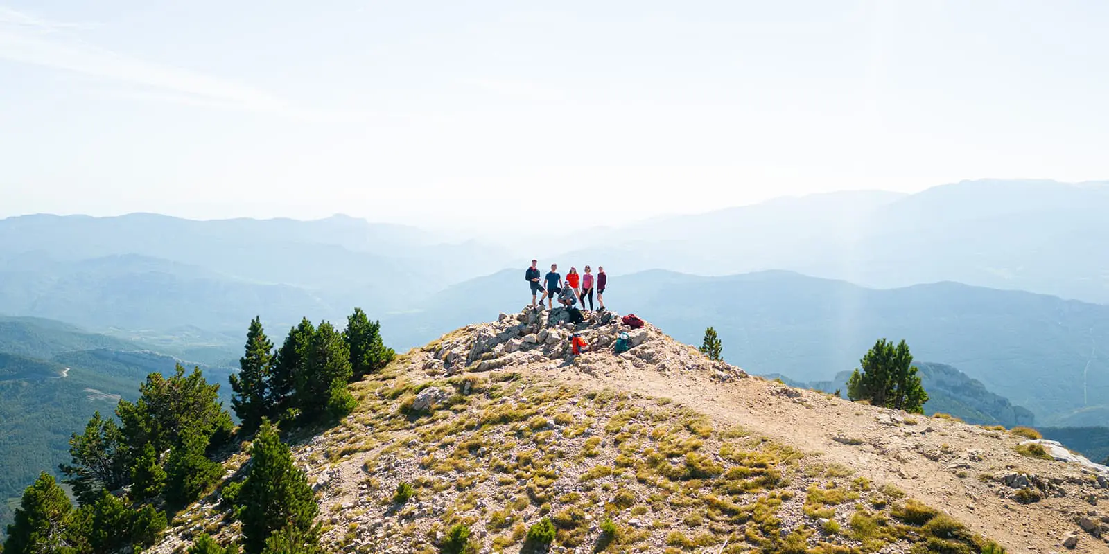
The second day starts with a climb from the Refugi de Rebost towards the Refugi Niu de l’Àguila. Your efforts will be rewarded with breathtaking views from the highest point of the tour here. The trail will then first descend and then ascend again to Penyes Altes before ending with a descent through mountain pines and silver firs until the Refugi del Serrat de les Esposes.

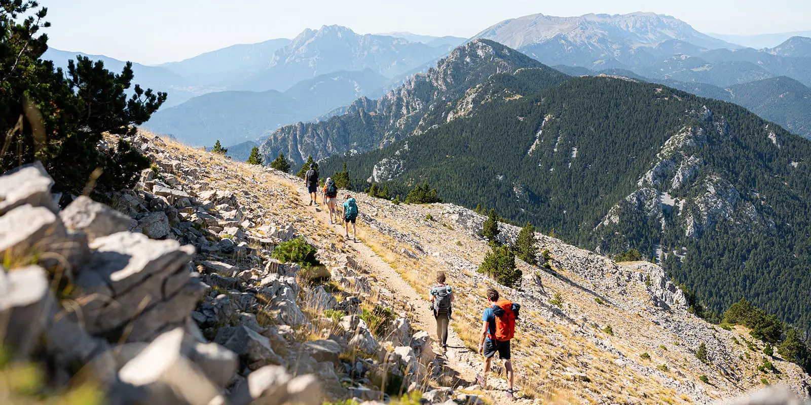
On the way from the Refugi del Serrat de les Esposes to the Refugi Prat d’Aguiló you will have the chance to pass through Prat de les Estelles, Vimboca, and Pas dels Bous. On the way, if you’re lucky, you may spot some wildlife, such as wild horses or deer. Afterward, you’ll face the last stretch of the day until you arrive at the Refugi Prat d’Aguiló.

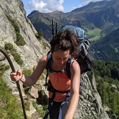
From Refugi Prat d’Aguiló, the path follows the Reapers Route up to the Pas dels Gosolans, which offers stunning views of the imposing mountain of Pedraforca. The day ends at the Refugi Gresolet.

The fifth stage takes you to the Refugi Sant Jordi. On your way, you’ll pass through the Gresolet beech forest, Sant Martí del Puig, Cal Cerdanyola, and Empedrats. Encounters with cows are highly possible on the steep paths through forests. There are also streams and ruins on this stage. If you encounter a cow, be sure to move slowly and put a large object (tree, boulder, fence) between the two of you.

The last stage leads from the Refugi Sant Jordi all the way back to the Refugi Rebost and goes constantly up and down. Forests alternate with views of the valley, which will keep it fresh as you walk. The first ascent of the day leads up to the Coll D’Escriu, and then a long downhill part takes you past Greixer and finally up again to the Refugi Rebost – the official start and finish of the Cavalls del Vent.

Stages

The Cavalls del Vent is usually hiked in 5-6 stages. As the trail is a circuit, it can be hiked clockwise or counterclockwise. Some of the mountain huts can also be reached by car or by cable car.

Cavalls del Vent 6-day itinerary

Stage 1:

Bagá – Refugi de Rebost, 7.9 km | 4.9 mi

Stage 2:

Refugi de Rebost – Refugi del Serrat de les Esposes, 23 km | 14.3 mi

Stage 3:

Refugi del Serrat de les Esposes – Refugi Prat d’Aguiló, 15.7 km | 9.8 mi

Stage 4:

Refugi Prat d’Aguiló – Refugi Gresolet, 16.4 km | 10.2 mi

Stage 5:

Refugi Gresolet – Refugi Sant Jordi, 16.1 km | 10 mi

Stage 6:

Refugi Sant Jordi – Refugi de Rebost, 13 km | 8.1 mi

Accommodations

The Cavalls del Vent connects 8 manned mountain huts with each other. They offer half board with breakfast and dinner, so you can save some weight on food. In the comments section of the booking, you can specify special dietary choices. All the mountain huts can provide vegetarian or vegan food, too.

Make sure to book your accommodation in advance, especially during the high-season summer months (July and August) and long weekends.

Also, note that not all the mountain huts accept credit cards, so it is better to bring some cash with you.

Mountain huts Cavalls del Vent

Stage 1:

Refugi de Rebost

Stage 4:

Refugi Gresolet

Best time of the year

The best time to hike the Cavalls del Vent is from June until September when the mountain huts are open. This is also when the weather will be best and the trails will be unobstructed by snow. The path can get up to 2,520 meters, which means there are times when it will be inaccessible. Hiking when the huts are open and the trails are clear will be your best option for an enjoyable time.

Safety & Gear

Gather information about the route (length, altitude, difficulty, current conditions) and assess your skills realistically before the hike. The Cavalls del Vent is a medium challenging hike, without any technical difficulties.

Aside from always having the GPX downloaded offline to your devive, make sure to pack as much as necessary and as little as possible. This means bringing gear that will do its job well and not leave you needing to pack backups! Check out our comprehensive gear list for long-distance trails here. Additionally, when staying overnight in the mountain huts, take the booking confirmation document and cash with you. Also bring a light sleeping bag, in addition to the provided blankets, and ear plugs for a restful night.

The weather in the high mountains can change rapidly. Always check the trail conditions and local weather forecasts to be prepared for all conditions, including rain, sun, or snow. Also, be sure to pay attention to the warming of the day and the resulting increase in the risk of thunderstorms. If conditions are uncertain, alter your itinerary! You can always ask the hut wardens for their advice in the morning if you’re uncertain of what to do.

Difficulty

The Cavalls del Vent is graded as a moderate hiking trail. It is challenging because of the distance and elevation gain, but not very difficult from a technical point of view. Previous multi-day hiking experience is an advantage.

You’ll also be grateful for some training before a hike like this, so you won’t have as much of an adjustment period. Hiking or walking on the treadmill at an incline with a full backpack will help you build strength and endurance for your hike.

Good to know

You can easily reach the start of the trail by public transportation. From Barcelona Nord, you can reach Bagà by bus and then walk to the Refugi de Rebost (7 km) or Refugi Sant Jordi (10 km).

Some of the mountain huts offer discounts for members of the Federació d’Entitats Excursionistes de o lunya (FEEC). Make sure to indicate it when booking and bring your license with you. Some of the mountain huts also offer discounts to members of other entities.

Unfortunately, dogs are not allowed in the mountain huts, but the Booking Centre can give you information about kennels during your journey.

It is recommended to fill up your water at the mountain huts between the stages. Make sure to take enough drinking water for the day and top up your water supply whenever possible. There are a few springs and streams along the way. Especially in remote sections or near livestock grazing areas, it is recommended to use a water filter or purification tablets.

route
circuit
highest point
2.520m (8.267 ft)

Want to submit a trail or make this page more complete?

Always read the disclaimer

Terms of Use: important to all visitors on this website. We strive to publish high quality content and information on this website. However it’s always possible that we’re missing out on some crucial information. In spite of the fact that this route, associated GPS track (GPX and maps) were prepared under diligent research by the specified contributor and/or contributors, the accuracy of such and judgement of the author is not guaranteed. Therefore, hiking-trails.com and contributors are in no way liable for personal injury, damage to personal property, or any other such situation that might happen to individuals hiking or following this route. Should you choose to hike this trail, this is always at your own risk. Check out our guidelines for safety hiking and Leave No Trace principles at the hiking 101 page.

Download GPX

Join the community!

Login or create a FREE account 😊

With an account you can:

Download GPX files

Pin trails to your wishlist

Mark trails as hiked by you

Rate hiking trails

Comment on trails, blogs and gear reviews

Happy trails!
Login

Don't have an account yet? Register here