innsbruck logo

About the Axamer Lizum Hochtennbodensteig

Innsbruck
country
Austria
length
9 km(6 mi)
Type of trail
Day hike
difficulty

Difficulty is highly personal. Be aware of the weather conditions as bad weather turns easier trails in difficult trails especially in the mountains.

Moderate
accommodation

Lodging means a mix of hotels, hostels or AirBnB’s.

Lodging
Elevation gain
1023 m(3356 ft)
terrain
Hills, Forest
remoteness
Some of the time
Show more

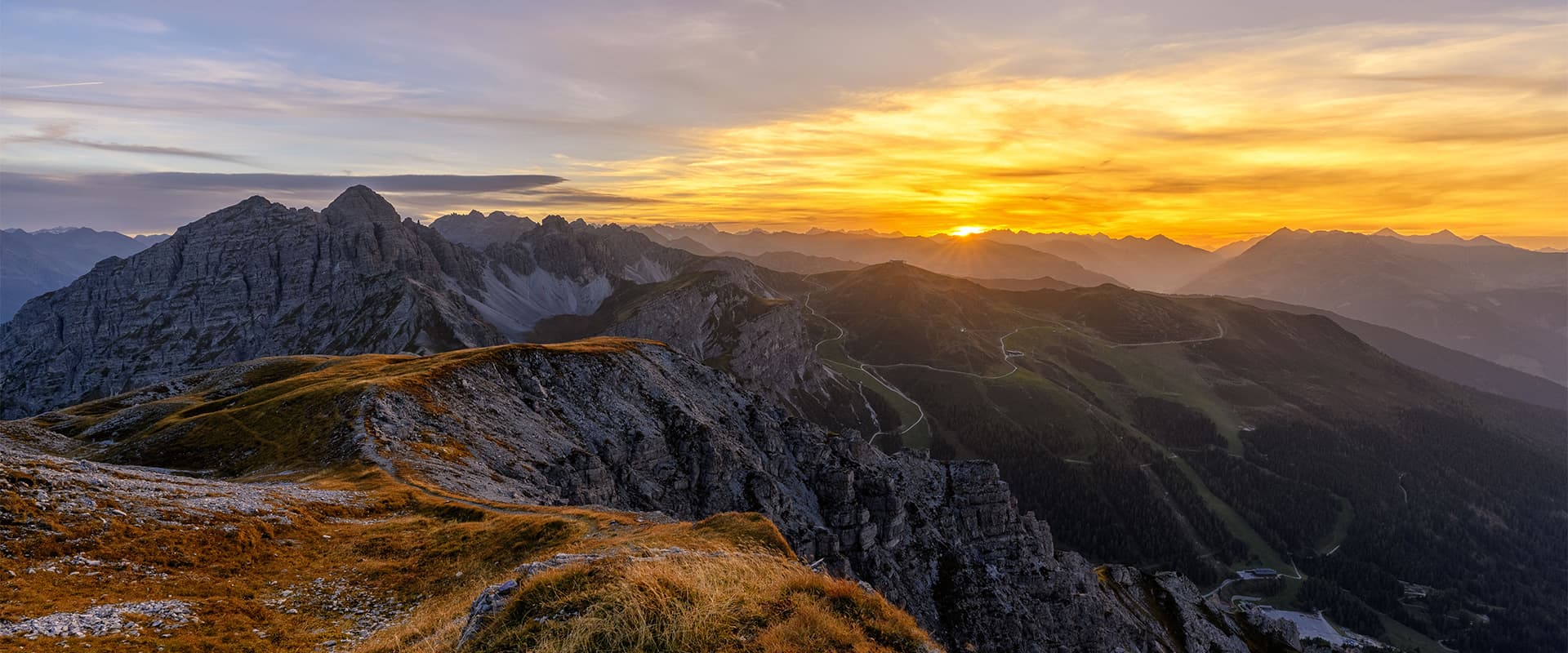
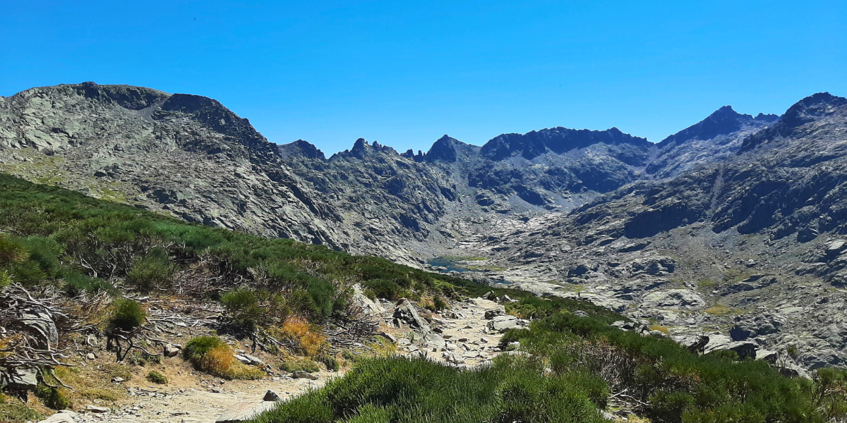
The Axamer Lizum Hochtennbodensteig is a high-altitude hike in the Innsbruck region, covering 8.9 km with an ascent of 1,023 meters and a descent of 262 meters. The hike typically takes about 3.5 hours to complete and is best undertaken between June and September.

The route is recognized with the “Tiroler Bergweg mit Auszeichnung” award, which shows its quality and maintenance. This one is a moderate-to-difficult trail that can be a fun adventure for an afternoon.

women in blue smiling at camera
Editor

Katie Mitchell

After a whirlwind of 8 years on the road (and trail!), Katie has hiked the Camino Frances, the Peaks of the Balkans, the Fisherman’s Trail, and extensively in the United States. She is an avid trail runner and now lives in Colorado where she plays in the mountains in her free time. You can follow her adventures on Instagram.

View profile

The Trail

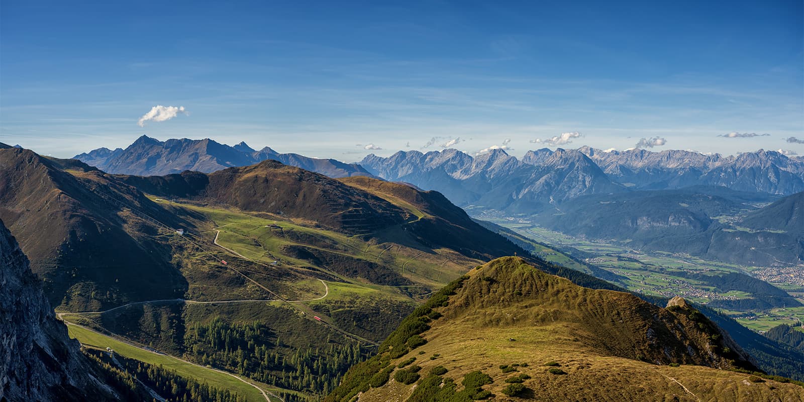
Starting from the base station of the Birgitzköpfllift chairlift, you will take the lift up to the Birgitzköpflhaus. From there, you will proceed on foot via Halsl, Schneiderspitze, Widdersbergsattel, and Hochtennboden, culminating at the Hoadlhaus mountain restaurant. The Hoadlbahn gondola will then provide a convenient descent back to the trailhead.

If you’re looking to avoid the crowds, you may also want to hike the trail in the opposite direction. Because it’s a loop, you’ll have flexibility! Along the trail, it is also common to see alpine wildlife such as chamois and marmots, particularly along the Damenabfahrt descent.

Innsbruck has many hiking trails around the region, so it will be possible for you to add on more hiking if you’re looking to extend your day outside. Try checking out our other Innsbruck day hikes for more options of places to go.

Accommodations

There are many accommodation options in Innsbruck if you’re looking for somewhere to stay before or after your hike. You can find more information on the Innsbruck website. You’ll find options for everything from budget hostels to luxury hotels or bed and breakfasts. There are options for every budget and expectation!

Best time of the year

The best time of year to hike the Axamer Lizum Hochtennbodensteig is June through September. Innsbruck itself already sits at 1883 meters, and the hike adds another 1000 meters, which means that the highest point is over 2000 meters. If you’re hiking in the shoulder season, make sure to bring microspikes, as these can be helpful for slick or icy trails.

There are also webcams on the Innsbruck tourism website that will allow you to see the trail conditions before you set out if you’re not sure of what to expect.

Safety & Gear

For a hike like the Axamer Lizum Hochtennbodensteig, you’ll want to pack enough layers and fuel to keep you going on your climb. This means bringing clothing and accessories that will keep you comfortable in case it’s very hot, cooler, or if it rains. It is a good idea to also bring shoes that you’ve already broken in and find comfortable to hike with, as well as a well-fitted backpack.

Difficulty

The Axamer Lizum Hochtennbodensteig is rated for medium difficulty because of the elevation gain that’s included in this hike. In almost nine kilometers, you will climb over 1000 meters. While doable, this can still be seen as moderately challenging for most.

To train for a hike like the Axamer Lizum Hochtennbodensteig, it will be helpful to increase your cardio and strength training. Additionally, working on balance and dynamic movements will help you move quickly on the trail. Try prioritizing walking on uneven surfaces when it’s possible and carrying a heavier-than-normal backpack on your day hikes around home.

Good to know

The Axamer Lizum region has over 60 kilometers of marked hiking trails for different skill levels. The area is accessible via public transportation, with bus line 4162 connecting Innsbruck to Axamer Lizum. The Hoadlbahn gondola and Birgitzköpfllift chairlift operate during the summer months, which will give you easier access to the trailheads.

route
circuit
highest point
2353m (7720 ft)

Guidebooks

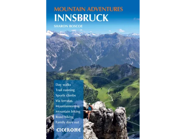
Innsbruck guidebook for hiking

Hiking in Innsbruck

View guidebook

Want to submit a trail or make this page more complete?

Always read the disclaimer

Terms of Use: important to all visitors on this website. We strive to publish high quality content and information on this website. However it’s always possible that we’re missing out on some crucial information. In spite of the fact that this route, associated GPS track (GPX and maps) were prepared under diligent research by the specified contributor and/or contributors, the accuracy of such and judgement of the author is not guaranteed. Therefore, hiking-trails.com and contributors are in no way liable for personal injury, damage to personal property, or any other such situation that might happen to individuals hiking or following this route. Should you choose to hike this trail, this is always at your own risk. Check out our guidelines for safety hiking and Leave No Trace principles at the hiking 101 page.

Download GPX

Join the community!

Login or create a FREE account 😊

With an account you can:

Download GPX files

Pin trails to your wishlist

Mark trails as hiked by you

Rate hiking trails

Comment on trails, blogs and gear reviews

Happy trails!
Login

Don't have an account yet? Register here