About the Mont de l’Arpille

Alps
country
Switzerland
length
6 km(4 mi)
Type of trail
Day hike
difficulty

Difficulty is highly personal. Be aware of the weather conditions as bad weather turns easier trails in difficult trails especially in the mountains.

Moderate
accommodation

Lodging means a mix of hotels, hostels or AirBnB’s.

Mountain huts, Lodging
Elevation gain
589 m(1932 ft)
terrain
Mountains
remoteness
Most of the time
Show more

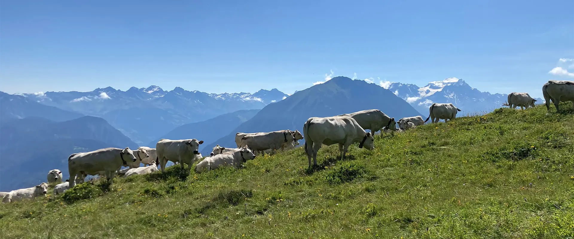
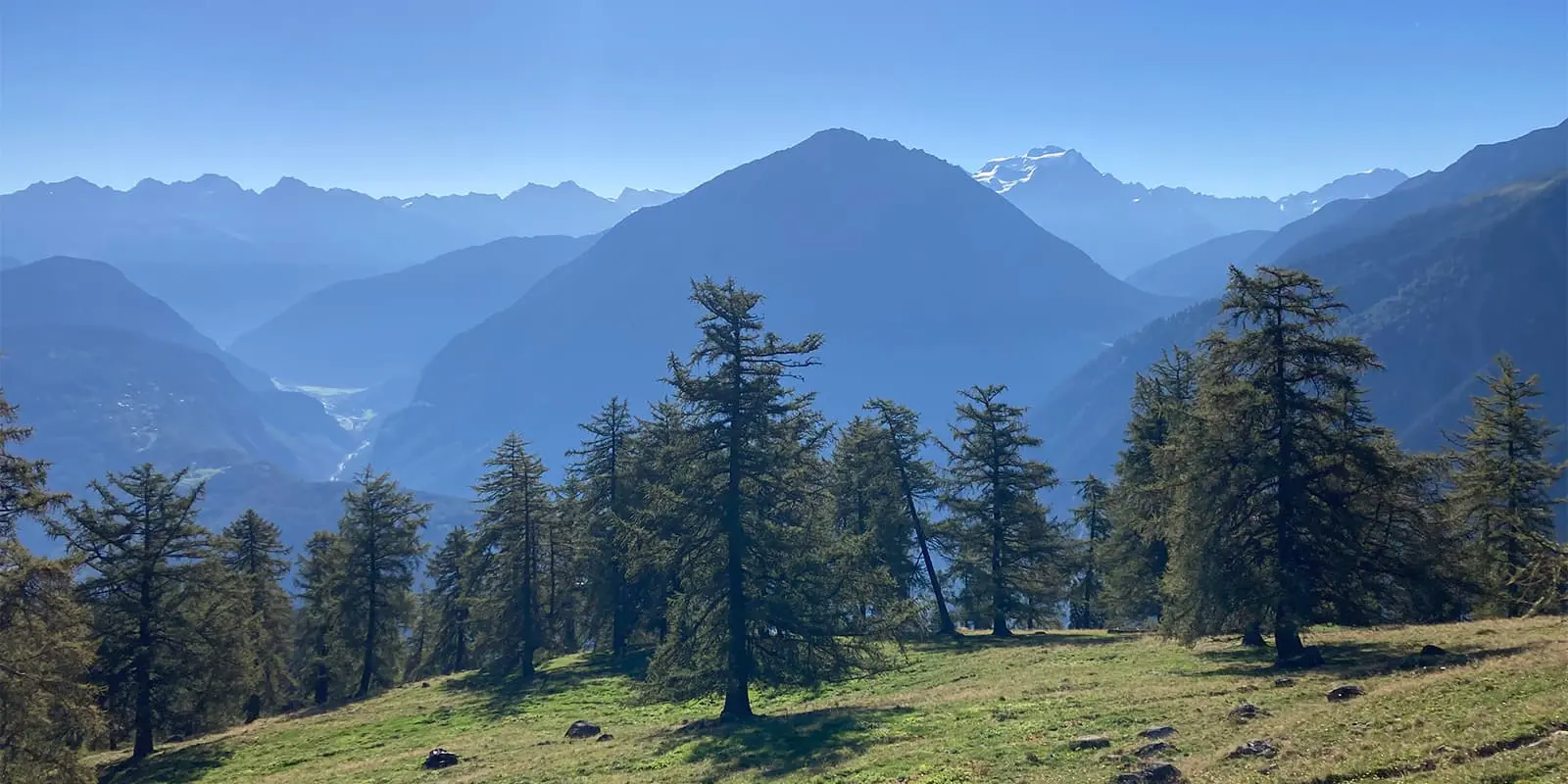
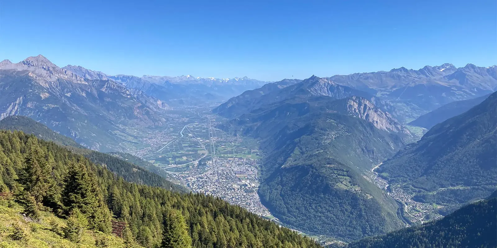
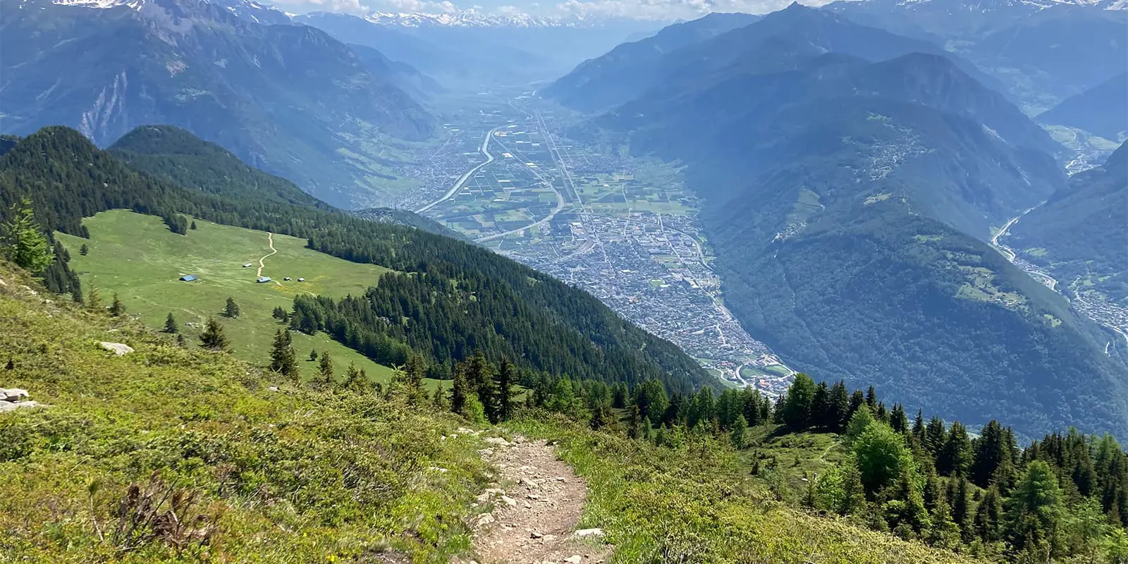
When you hike the Le Mont de l’Arpille, you’ll have panoramic and spectacular views of the Rhône Valley, the Mont-Blanc chain, and the surrounding Alps. The route goes across a hundred-year-old larch forest and, at the end, will lead you to the Arpille mountain pasture. Here, you’ll see one of the best, most harmonious balances between nature and landscapes.

At the top, you will enjoy a breathtaking view of the Combin and Mont-Blanc glacier massifs. The trail is a perfect mid-afternoon day hike where you’ll get all the views without having to spend as much time climbing to them.

Elmar profile picture
Editor

Elmar Teegelbeckers

Passionate hiker Elmar spends months of his time on the trail. He’s usually on the lookout for hidden gems in one of his favourite countries such as Slovenia, Switzerland and Japan. He founded hiking-trails.com in need for a community and detailed information about the trails. Before this, he worked for the Alpine asscociation in the Netherlands[ (NKBV) but lost his heart to the trails.

Not long ago, Elmar published the book (in Dutch) Hiking Trails – best long-distance trails in Europe. With this book, website and socials, he hopes to inspire and shape an inclusive community for hikers all over world. No matter your speed, experience or level, you can get out there to enjoy the trails and connect with the heartwarming hiking community. Life is so much better outside and he hopes to inspire hikers to take their first, or next, step on the trail.

You can reach Elmar at info@hiking-trails.com.

View profile

The Trail

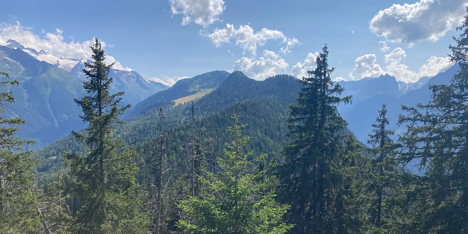
The trailhead starts at the Col de la Forclaz. From here, you will take the path that starts on the left, about 50 meters before the top of the pass, on the Martigny side. After about ten meters of climbing, it will be possible to see a descriptive panel of the hike. This initial stage passes through a dense forest, which will start you with some refreshing scenery at the beginning of the trail.

On the ascent, you will reach the Arpille mountain pasture, located at an altitude of about 1850 meters. The landscape gradually opens up around this point, where you’ll have beautiful views of the valley below.

Soon, you’ll reach Mont de l’Arpille, which is the highest point of the hike at 2085 meters above sea level. The last part of the ascent can be quite steep, especially if you take the eastern side, which is more exposed to the sun. Once at the top, you will be rewarded with a 360° panorama of the Alps, including a spectacular view of the Mont Blanc range.

After the summit, you’ll descend via the Plan du Gy. This section has flatter terrain before the final descent. Finally, you’ll make your way back to the Col de la Forclaz. This part of the route is mainly in the forest, where you’ll have shade and coolness. Once back at the pass, you can take advantage of the existing facilities, such as the campsite or the hotel, to rest after the hike.

Best time of the year

The ideal time to hike the Mont de l’Arpille trail is from May to November. This is when the weather conditions are more favorable, and you’ll have better visibility and milder temperatures. The route is technically still enjoyable in winter, however, it’s only passable for ski touring enthusiasts, which will make it a very different experience.

Safety & Gear

The Mont de l’Arpille trail is an accessible, 3-hour hike in the Martigny region. To prepare for the hike, you’ll need to pack appropriately and make sure you have the GPX downloaded to your device. Bring comfortable layers and shoes, as these will be your saving grace if the weather catches you while you’re hiking. You’ll also want to be sure to pack plenty of water and snacks to keep your energy up.

To train for the Mont de l’Arpille trail, try taking daily hikes at home or incorporating an inclined treadmill or stairmaster into your gym routine. Working on balance and endurance will be very helpful in addition to strength training.

Difficulty

The Mont de l’Arpille trail is moderately difficult because some passages are vertiginous. Unfortunately, if you have vertigo, this is not the trail for you. It is also recommended to be in good physical condition. In some places, the path is sometimes not very marked, which requires special attention to the markings.

The difficulty is classified as T2 on the SAC (Swiss Alpine Club) scale. It is a trail with an uninterrupted route and steady climbs. The level of difficulty is moderate, but it is still recommended that you be well equipped, especially with good hiking boots and walking poles (if necessary).

Good to know

This hike is accessible by public transport, from Martigny to the Col de la Forclaz. There is also the possibility of returning to Martigny via this same pass. To extend the length of the trail, you can continue the hike to Champex-Lac via the Fenêtre d’Arpette, which adds about 6 hours to the route.

route
circuit
highest point
2.058m (6.751 ft)

Want to submit a trail or make this page more complete?

Always read the disclaimer

Terms of Use: important to all visitors on this website. We strive to publish high quality content and information on this website. However it’s always possible that we’re missing out on some crucial information. In spite of the fact that this route, associated GPS track (GPX and maps) were prepared under diligent research by the specified contributor and/or contributors, the accuracy of such and judgement of the author is not guaranteed. Therefore, hiking-trails.com and contributors are in no way liable for personal injury, damage to personal property, or any other such situation that might happen to individuals hiking or following this route. Should you choose to hike this trail, this is always at your own risk. Check out our guidelines for safety hiking and Leave No Trace principles at the hiking 101 page.

Download GPX

Join the community!

Login or create a FREE account 😊

With an account you can:

Download GPX files

Pin trails to your wishlist

Mark trails as hiked by you

Rate hiking trails

Comment on trails, blogs and gear reviews

Happy trails!
Login

Don't have an account yet? Register here