About the Tour du Muverans

Alps
country
Switzerland
length
52 km(32 mi)
Type of trail
Hut to hut, Long-distance
difficulty

Difficulty is highly personal. Be aware of the weather conditions as bad weather turns easier trails in difficult trails especially in the mountains.

Difficult
accommodation

Lodging means a mix of hotels, hostels or AirBnB’s.

Mountain huts
Elevation gain
4380 m(14370 ft)
terrain
Mountains
remoteness
Most of the time
Show more

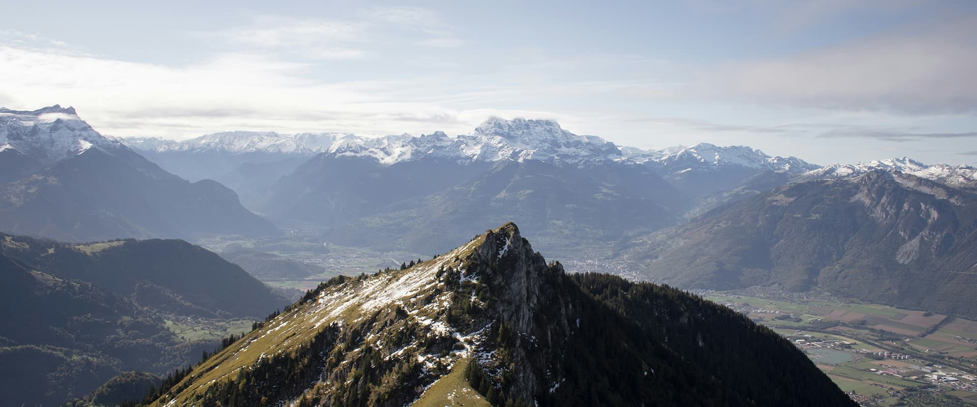
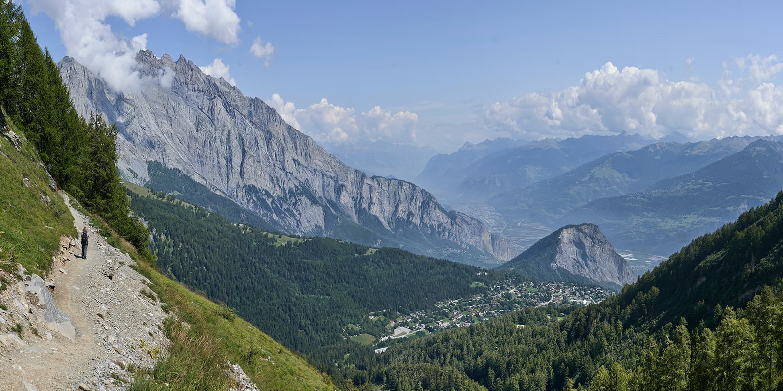
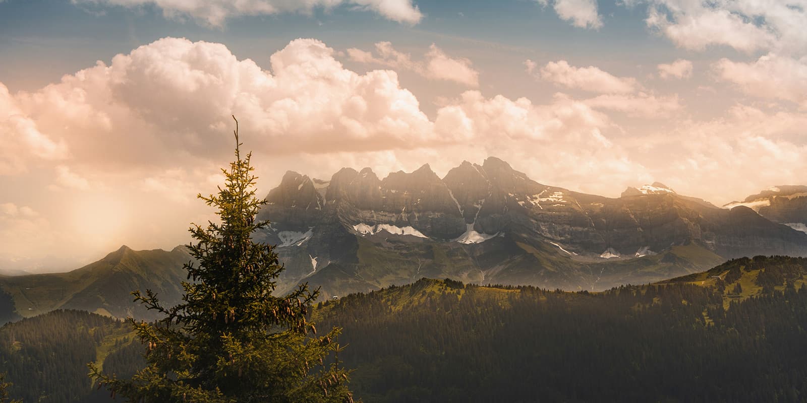
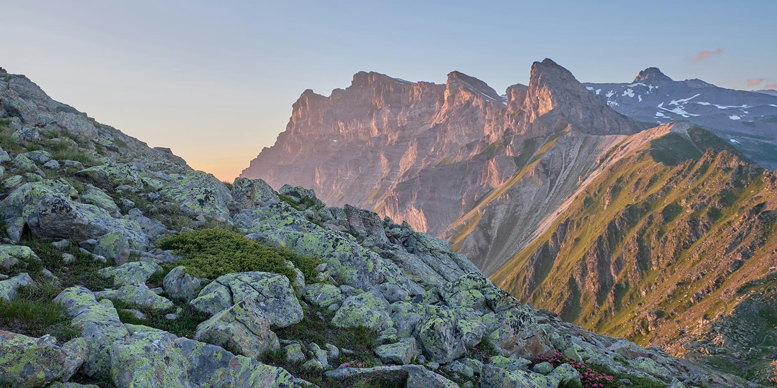
The Tour du Muverans is a stunning four-day tour around the Grand Muveran peak in Switzerland. The trail is a hidden gem with six passes, lots of mountain huts perfect for the night and mid-day coffee breaks, and views of the Valaisian and Vaud Alps, Dents du Midi, and Mont Blanc. If you’re already in the region for Tour du Mont Blanc, it’s also worth popping over to check out this tour!

You’ll find that the Tour du Muverans is less popular than the TMB but has equally incredible views. This off-the-beaten-path trail is well marked and a circuit, making it an easy “yes” for ease of logistics.

women in blue smiling at camera
Editor

Katie Mitchell

After a whirlwind of 8 years on the road (and trail!), Katie has hiked the Camino Frances, the Peaks of the Balkans, the Fisherman’s Trail, and extensively in the United States. She is an avid trail runner and now lives in Colorado where she plays in the mountains in her free time. You can follow her adventures on Instagram.

View profile

The Trail

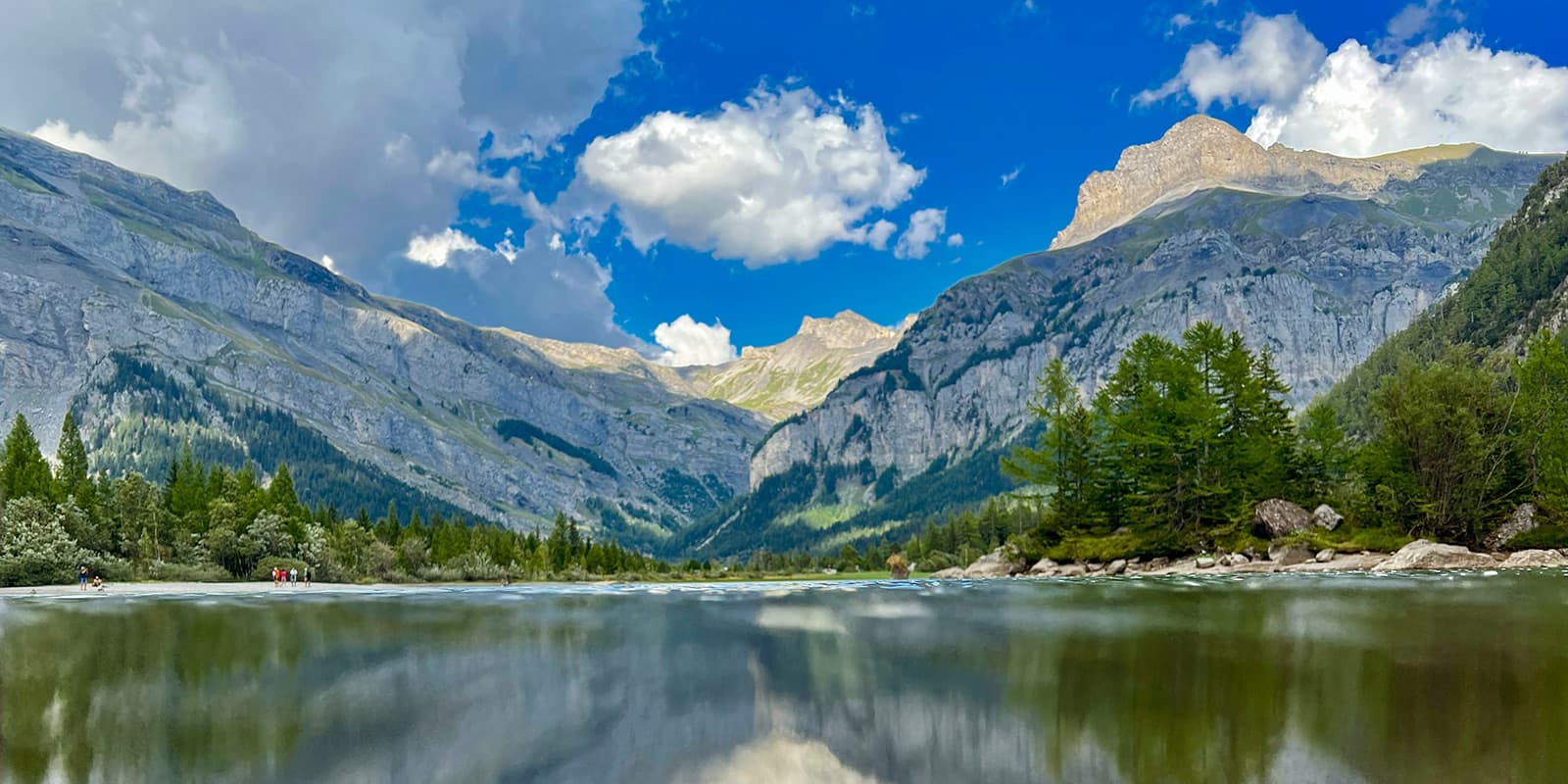
Stage one of the Tour du Muverans starts at Derborence Lake, where you’ll find the trailhead with ease, as the town of Derborence is well-known and easy to access. You’ll begin at Refuge du Lac, a hut on the lace with a sunny terrace – the perfect place to fuel up before you begin. From there, you’ll climb 1400 meters to Cabane de Rambert. On the way, you will pass many old and new chalets to stop and have a coffee, and you will follow a river to pastures that will eventually lead you to Col de la Forcle Pass at 2612m. After the pass, you will find an artificial lake that was created by the local community to irrigate their vineyards before you finally reach the hut at 2580m.

Now in Rambert, you’ll start the day with a descent that’s been compared to stairs. Get ready! While the day is short, only 10 kilometers, you will climb 1169m. On the way, you will pass Plan Coupel and Le Pessot, a waterfall. The terrain is very steep by the waterfall, but beautiful. From here, you’ll cross the stream Salentze and head toward Alp Bougnone. This is the mark of the beginning of a stretch in the forest, which will be short-lived. Soon, you’ll be back to hiking along cliffs, passing huts managed by the Saillon ski club. You’ll also get to see some small lakes that are peeking out between the rocks in the alpine meadows this day. If the sun’s out, they’ll look like they’re sparkling! Finally, after passing even more ski huts, the path will lead you to Cabane de Demècre, where you’ll stay for the night. Enjoy the views of Mont Blanc, Dents du Midi, and Lake Geneva after a hard day’s effort!

Stage three also begins with a descent to help you warm up. After the descent, the path will become hilly and steep toward Rionda, which unfortunately will make it difficult for people prone to vertigo. You can take the lower path via Chalet Neuf, L’Au d’Arbignon to Rionda as an alternative if you need it here. However, if you stay on the original path, you’ll be greeted by the best panoramic views of the trail thus far. You’ll emerge from a forested section to a view of Mont Dolent, the border mountain between Switzerland, France, and Italy, as well as the Trient massif, Mont Blanc, and the Dents du Midi. From here, you’ll climb for a while longer, until you reach a low descent to finally reach Pont de Nant. Again, if you have vertigo, there is an alternate path to avoid hiking this last section on the way to Pont de Nant. You can instead take the path through the Javerne mountain pasture. Pont de Nant itself is a lovely place to finish the day, where you’ll be treated to a warm dinner and soft bed.

The final stage doesn’t mean it’s an easy one! Once again, the day starts with a descent followed by a climb. You’ll hike through forests and valleys until you reach a large meadow that winds between towering white cliffs. From there, you will pass a few mountain huts on your route where you can stop for a rest and a nice beverage before you finally cross from Vaud into Valais. Slowly, you’ll make your way back to Derborence, where you can finish your trail back at the terrace where you started. If you’re not yet ready to go home, there are many options for places to sleep in Derborence to soak up one last night near the trail.

Stages

The Tour du Muverans is a trail filled with countless mountain huts, meaning you can adjust the tour as you like. Traditionally, it is hiked in 4 stages.

4-stage itinerary

Stage 1:

Lake Derborence – Rambert, 11 km | 6.8 mi 

Stage 2:

Rambert – Col du Demècre, 10 km | 6.2 mi

Stage 3:

Col du Demècre – Pont de Nant, 16 km | 10 mi

Stage 4:

Pont de Nant – Derborence, 13 km | 8 mi

Accommodations

On the Tour du Muverans, you’ll have the option to stay in mountain huts along the route. There will be many huts and chalets that you’ll pass, although listed below are the recommended huts for the original route. You do have the option to stay in other accommodations, but mountain huts will give you a feel for the mountain culture in the area.

When staying in mountain huts, be sure to bring proper supplies: the required sleeping bag liner (it keeps you and the hut’s linens clean), earplugs (recommended, not required), and an eye mask if you’re a light sleeper. Check out our full gear list on hut-to-hut hikes here.

Be prepared to go four days with few to no showers, as water is a precious commodity at the mountain huts – reserved for sinks and cooking. Additionally, the power at huts can be limited by generator power, meaning that a headlamp may be useful in the evenings when they turn off the generator.

Finally, enjoy! The huts are known for their delicious meals and hospitality in this region. You’ll find them to be a treat at the end of each day.

Mountain huts per stage

Stage 3:

Pont de Nant

Best time of the year

The best time of the year to hike the Tour du Muverans is from June – September. This is common for the Alps, as it’s the time when the weather is the best, the snowbanks have finally melted, and the mountain huts are open to hikers.

Because the Tour du Muverans is so high, there’s a chance there may be lingering snow on the earlier side of the season, so it’s worth calling the huts to ask about the trail conditions. This can save you a whole lot of heartache when you’re up on a mountain wishing for micro-spikes.

Be aware that from July-August is the busiest season, which means the huts will book up quickly. Take care to reserve your spots far in advance, ideally when they accept reservations in the early spring.

Safety & Gear

The Tour du Muverans is a difficult trail for the physical demand it puts hikers through each day, but not for its technicality. If you’re a strong hiker with experience at higher elevations, you should be able to manage this trail.

However, it is still important to prepare adequately. Make sure you bring a well-stocked pack with your favorite gear. You’ll want weather-proof clothing (both breathable and water resistant), a comfortable backpack, hiking shoes that feel sturdy, and poles to help with the climbing. In addition to these, a first aid kit, loaded GPX on your device, and snacks to keep your energy up are major help on a trek like this.

Make sure to take care of your surroundings. By respecting the Leave No Trace principles, you can be a steward of the land, hopefully leaving it better than you found it. The Tour du Muverans is a hike that will remind you of how beautiful the world can be, so it’s best to keep it beautiful for the people who will come after you.

Difficulty

The trail difficulty for the Tour du Muverans is rated as difficult for its physical demand. It is not a technically challenging trail, only a medium rating with options to detour difficult sections if the conditions are slippery. However, the daily elevation gain and loss are demanding on the body.

While the Tour du Muverans is a short trail, it is recommended to train properly for the hike. One way to do this is to practice climbing hills with a full pack and with your hiking gear. The hike’s highest point is at 2578m, meaning that there is a fair amount of altitude involved in hiking the Tour du Muverans.

Good to know

There are two access points for the Tour du Muverans which you can reach by car or public transport: Derborence and Pont de Nant. You could also opt to start the trek with the last stage.

You can also bring your four-legged friend! Dogs are welcome on this trail as long as they stay on a leash. The route crosses several conservation areas, so the leash is a great way to protect the region.

Finally, you will be able to refill water along the trek with ease. Each day, you’ll pass multiple huts or spots to stop where you can fill up on your supply. Overall, this is an easy trek to pack light for.

route
circuit
highest point
2.578m (8.458 ft)

Want to submit a trail or make this page more complete?

Always read the disclaimer

Terms of Use: important to all visitors on this website. We strive to publish high quality content and information on this website. However it’s always possible that we’re missing out on some crucial information. In spite of the fact that this route, associated GPS track (GPX and maps) were prepared under diligent research by the specified contributor and/or contributors, the accuracy of such and judgement of the author is not guaranteed. Therefore, hiking-trails.com and contributors are in no way liable for personal injury, damage to personal property, or any other such situation that might happen to individuals hiking or following this route. Should you choose to hike this trail, this is always at your own risk. Check out our guidelines for safety hiking and Leave No Trace principles at the hiking 101 page.

Download GPX

Join the community!

Login or create a FREE account 😊

With an account you can:

Download GPX files

Pin trails to your wishlist

Mark trails as hiked by you

Rate hiking trails

Comment on trails, blogs and gear reviews

Happy trails!
Login

Don't have an account yet? Register here