About the Dolomiti Trek King

Dolomites
country
Italy
length
76 km(47 mi)
Type of trail
Hut to hut, Long-distance
difficulty

Difficulty is highly personal. Be aware of the weather conditions as bad weather turns easier trails in difficult trails especially in the mountains.

Difficult
accommodation

Lodging means a mix of hotels, hostels or AirBnB’s.

Mountain huts
Elevation gain
3517 m(11539 ft)
terrain
Mountains
remoteness
Most of the time
Show more

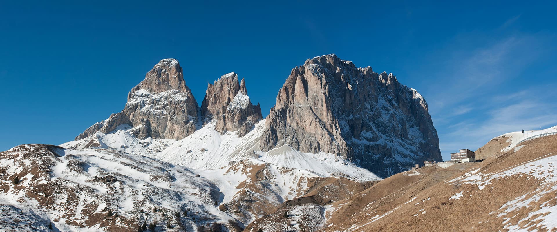
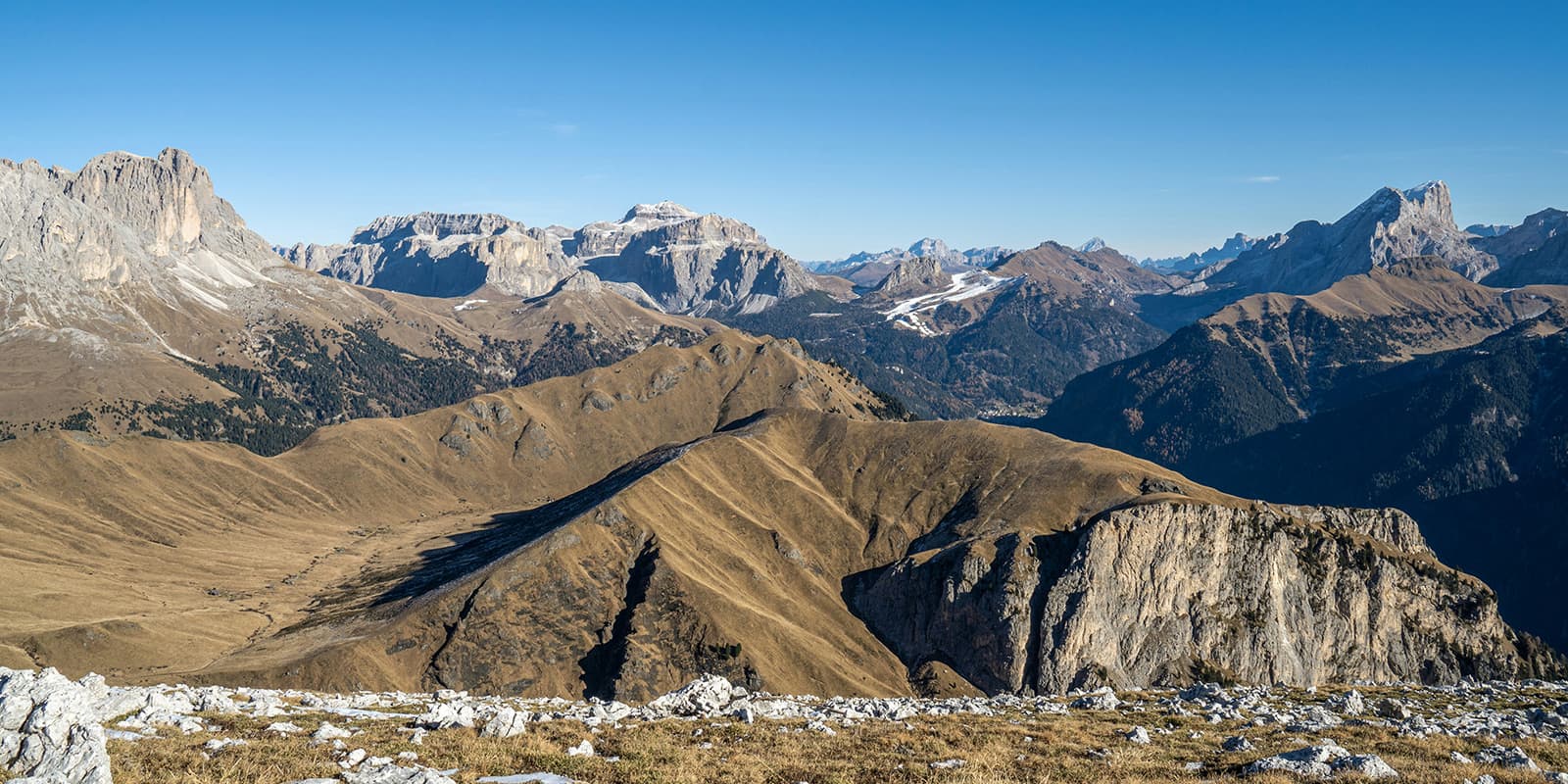
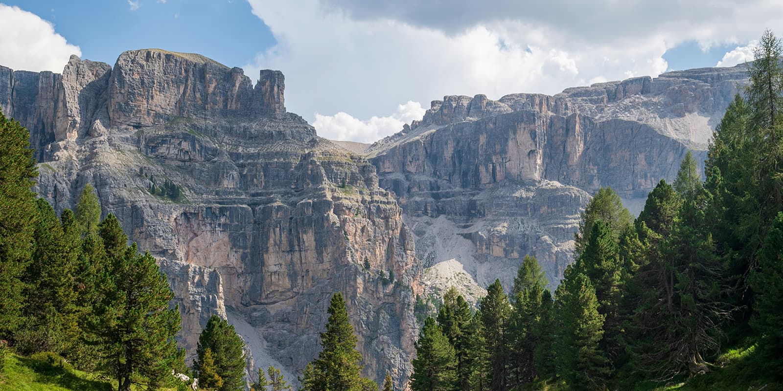
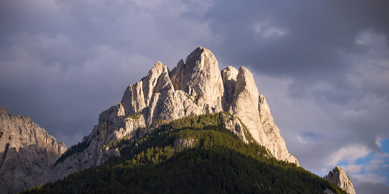
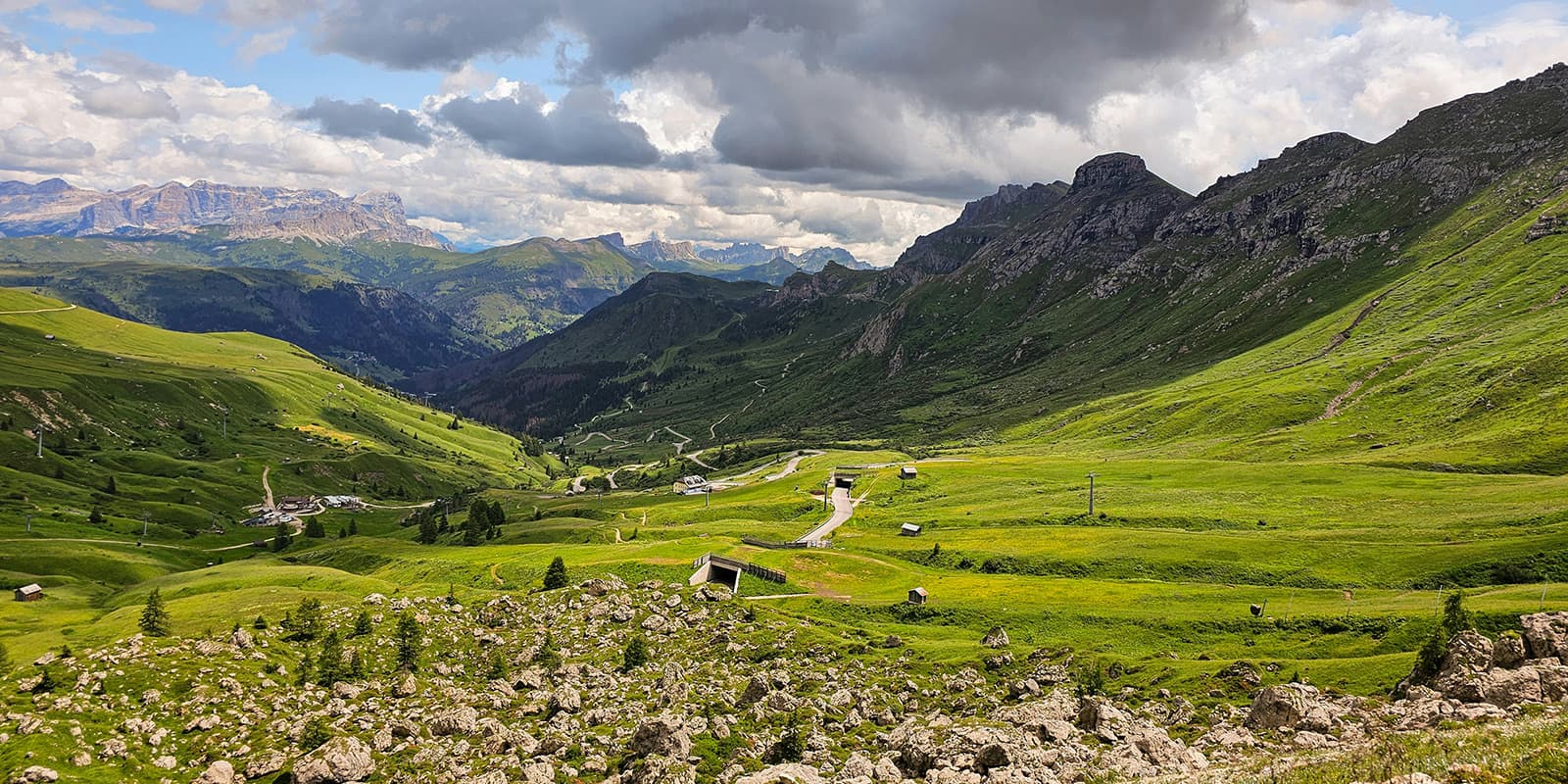
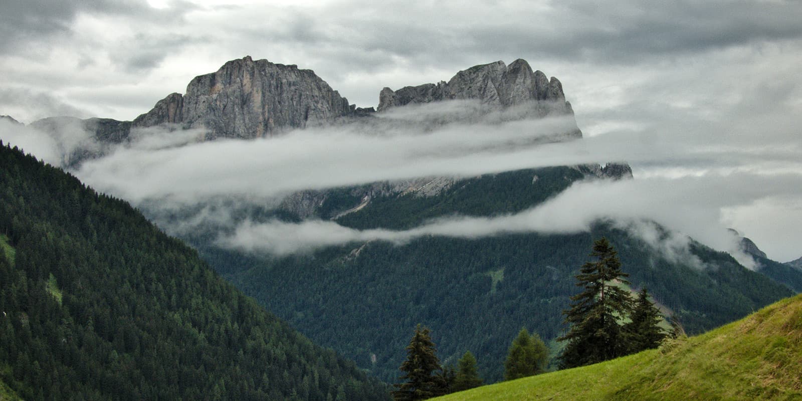
The Dolomiti Trek King is a 75.8-kilometer (47 mi.) long-distance hike through the Italian Val di Fassa. No, that’s not a typo, the Dolomiti Trek King trail owes its name to the enchanted mountain world with its fantastic views, the origin of many fairy tales.

This trail will take you through incredible landscapes that will leave you feeling like you’ve been transported to another world. However, note that the Dolomiti Trek King isn’t for the faint of heart. This trail is ranked as difficult for its constant elevation gain and loss, but is worth it for the views and rewarding feeling you’ll feel at the end of each day.

Merle profile picture

Merle Wünderling

Merle is an outdoor enthusiast who’s passionate about hiking, rock climbing, mental health, and sustainability. Born in Germany but at home in the world, she’s hiked trails in New Zealand (Abel Tasman Coast Track, Kepler Track), Europe (Rota Vicentina/ Fishermen’s Trail, Tour du Mont Blanc, GR20 Corse, Kungsleden… ), and the Balkans (Peaks of the Balkans). Over the years she became a bit of a nerd, constantly improving her gear for upcoming hikes, such as GR11 Spain, Tour des Ecrins, Te Araroa, and the Transcaucasian Trail.

You can follow Merle on Instagram @merlewunderkind.

View profile

The Trail

The first stage starts from Pozza to Val Contrin. It starts with a cabin lift to Buffaure followed by another lift to Col de Valvacin. Alternatively, you can walk up the ski run. Here the hike up to the top of Sas de Adam begins, where you’ll find an impressive panorama of the Fassa Dolomites.

You’ll then descend from here and follow the path across the Sela Brunéch before you continue to walk to the Sas de Roces. From there, you will hike through the San Nicolò Valley until you reach the saddle above the Sas Bianch and proceed on the Varosc ridge. Follow the path to Passo San Nicolò Refuge and finally descend to the Contrin Valley until you reach the Contrin Refuge.

From the Contrin Refuge, you will follow the road across the Val Contrin. Turn right on the path before the village of Penìa di Canazei where wide dirt roads guide you, past the hotel Villetta Maria and through the wood, to the Fedaia Pass. This will mark the end of the second stage.

The third day starts with a long traverse through gorgeous scenery and will keep you hiking up a constant elevation gain to the Pordoi Pass. From here, it is possible to take the cable car to Sass Pordoi, known as the Terrace of the Dolomites. Afterward, the path continues through the forest to Pecol and back to Canazei by cabin lift. From Canazei follow the river until the valley station of the cable car that will take you up to Col Rodella.

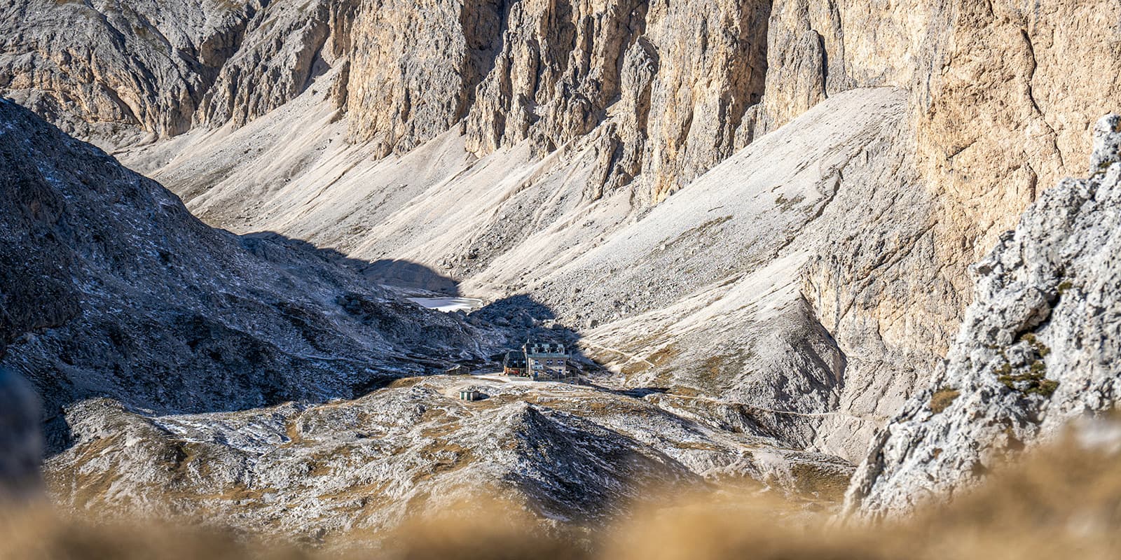
From Col Rodella a relatively easy path will take you along the feet of the Grohmann and Innerkofler peaks, the Dente del Sassolungo, and the Sasso Piatto. And then it will continue to the saddle of the Giogo di Fassa, where you’ll find the Sasso Piatto Refuge. From here, the trail continues along the Siusi crest, down to the Val Duron, and up the Duron and the Ciaréjoles Pass. A steep curved path then will lead you up the Dona Pass and to the Antermoia Refuge.

The fifth stage takes you from Antermoia Refuge to Gardeccia. You will come along to Antermonia and the Principe Pass as well as the Vaiolet and Preuss refuges. Highlights of the day are the legendary Vaiolet Towers and other iconic mountains, where some of the first mountaineering pioneers wrote history.

The last stage of Dolomiti Trek King takes you from Gardeccia to Costalunga Pass. Along the way, Ciampedie will give you a magnificent view over the entire Vaiolet Valley. Continue on the Alta Via dei Fassani to the Baita Marino Pederiva and Roda di Vael refuges and then finally descend to the Costalunga Pass.

Alternatively, you can go from Ciampedie up to Pra Martin and follow the panoramic Vial da le Feide. Afterward, you’ll descent from the Ciampaz Saddle on path no. 548 to the Costalunga Pass.

Or, an alternative to the alternative, you can continue along path no. 549 to the monument of Theodor Christomannos and follow that path to the Paolina Refuge. From there walk down to the Costalunga Pass or take the chairlift.

Stages

The trail is usually hiked in 6 stages. Thanks to the shuttle service and the mountain lifts, it is possible to return from any point.

6-stage itinerary

Stage 1:

Pozza di Fassa – Contrin Refuge, 12.1 km | 7.5 mi

Stage 2:

Contrin Refuge – Fedaia Pass, 11.5 km | 7.1 mi

Stage 3:

Fedaia Pass – Col Rodella , 16 km | 9.9 mi

Stage 4:

Col Rodella – Antermoia Refuge, 15.5 km | 9.6 mi

Stage 5:

Antermoia Refuge – Gardeccia, 10.1 km | 6.3 mi

Stage 6:

Gardeccia – Costalunga Pass, 10.2 km | 6.3 mi

Accommodations

Along the Dolomiti Trek King, you will find mountain huts and guesthouses that offer basic but comfortable accommodations. Just make sure to book early in the year, as the mountain huts will fill up fast for the season!

Mountain huts per stage

Stage 1:

Contrin Refuge

Stage 3:

Col Rodella

Stage 4:

Antermoia Refuge

Stage 5:

Gardeccia hut

Stage 6:

Accomodations in Val di Fassa (campsite, youth hostel, guesthouses, hotels)

Best time of the year

Hiking the Dolomiti Trek King is from June through October when there is no snow and accommodations are open. Earlier and later in the season, you’ll find snowbanks and the huts will be closed. Make sure to pack micro-spikes and check in with the hut wardens before you’re trek if you’re hiking on the earlier or later sides of the open season.

Safety & Gear

Before the hike, gather information about the route (length, altitude, difficulty, current conditions) and assess your skills realistically. Dolomiti Trek King is a challenging hike that requires experience in alpine terrain, surefootedness, and proper equipment.

Invest in the right hiking gear, including comfortable, supportive footwear with a good grip, proper hiking clothing, such as warm base layers and a hardshell rain jacket, hiking poles, a well-fitting backpack, and essential equipment like maps, GPS devices (or the GPX on your mobile), and a first-aid kit. Check out our comprehensive gear list for long-distance trails.

If you walk by yourself, share your plans with somebody else for your own safety. You’ll also want to check in with them if you alter your plans on the go.

For staying overnight in the mountain huts, bring a light sleeping bag, in addition to the provided blankets, and earplugs for a restful night.

The weather in the high mountains can change rapidly. Always check the trail conditions and local weather forecasts to be prepared for all conditions, including rain, sun, or snow and alter your itinerary if needed.

Stay properly hydrated and nourished. Check that you have enough water and snacks to maintain energy levels and prevent dehydration and exhaustion. Bring at least two liters of water with you.

Respect the principles of Leave No Trace by minimizing your impact on the environment. Stick to designated trails, take all your trash with you, and show respect for wildlife and natural habitats (keep your distance and don’t feed them).

Difficulty

The Dolomiti Trek King is a difficult hiking trail with high-altitude passes and rugged mountain terrain. Therefore, it requires a good level of fitness and previous experience in alpine conditions.

Good to know

You can fill up your water at the mountain huts and guesthouses between the stages. Make sure to take enough drinking water for the day and top up your water supply whenever possible.

The Dolomiti Trek King is a dog-friendly trail. However, they must be kept on a leash.

Additionally, the food in the Dolomiti huts is some of the best mountain hut meals in the world. The Italian cuisine will be worth the long days of trekking and you’ll love trying the many flavors of grappa each night!

route
point-to-point
highest point
2769m (9084 ft)

Want to submit a trail or make this page more complete?

Always read the disclaimer

Terms of Use: important to all visitors on this website. We strive to publish high quality content and information on this website. However it’s always possible that we’re missing out on some crucial information. In spite of the fact that this route, associated GPS track (GPX and maps) were prepared under diligent research by the specified contributor and/or contributors, the accuracy of such and judgement of the author is not guaranteed. Therefore, hiking-trails.com and contributors are in no way liable for personal injury, damage to personal property, or any other such situation that might happen to individuals hiking or following this route. Should you choose to hike this trail, this is always at your own risk. Check out our guidelines for safety hiking and Leave No Trace principles at the hiking 101 page.

Download GPX

Join the community!

Login or create a FREE account 😊

With an account you can:

Download GPX files

Pin trails to your wishlist

Mark trails as hiked by you

Rate hiking trails

Comment on trails, blogs and gear reviews

Happy trails!
Login

Don't have an account yet? Register here