About the Matterhorn Trek

Alps
country
Switzerland, Italy
length
49 km(30 mi)
Type of trail
Long-distance, Hut to hut
difficulty

Difficulty is highly personal. Be aware of the weather conditions as bad weather turns easier trails in difficult trails especially in the mountains.

Difficult
accommodation

Lodging means a mix of hotels, hostels or AirBnB’s.

Mountain huts, Lodging
Elevation gain
3225 m(10581 ft)
terrain
Mountains
remoteness
Most of the time
Show more

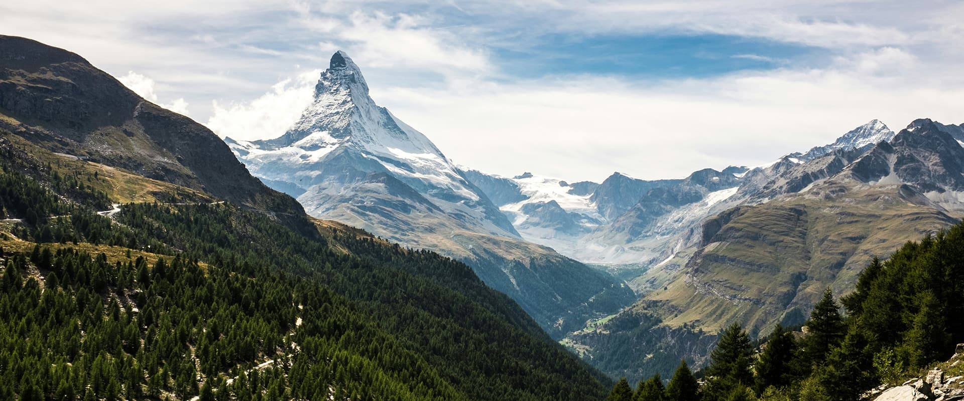
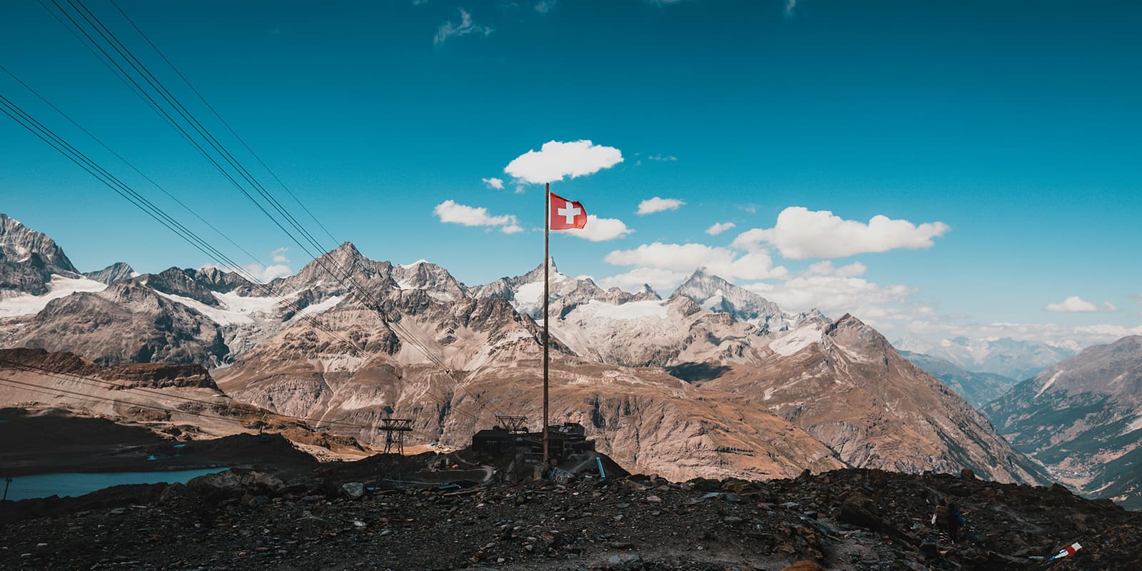
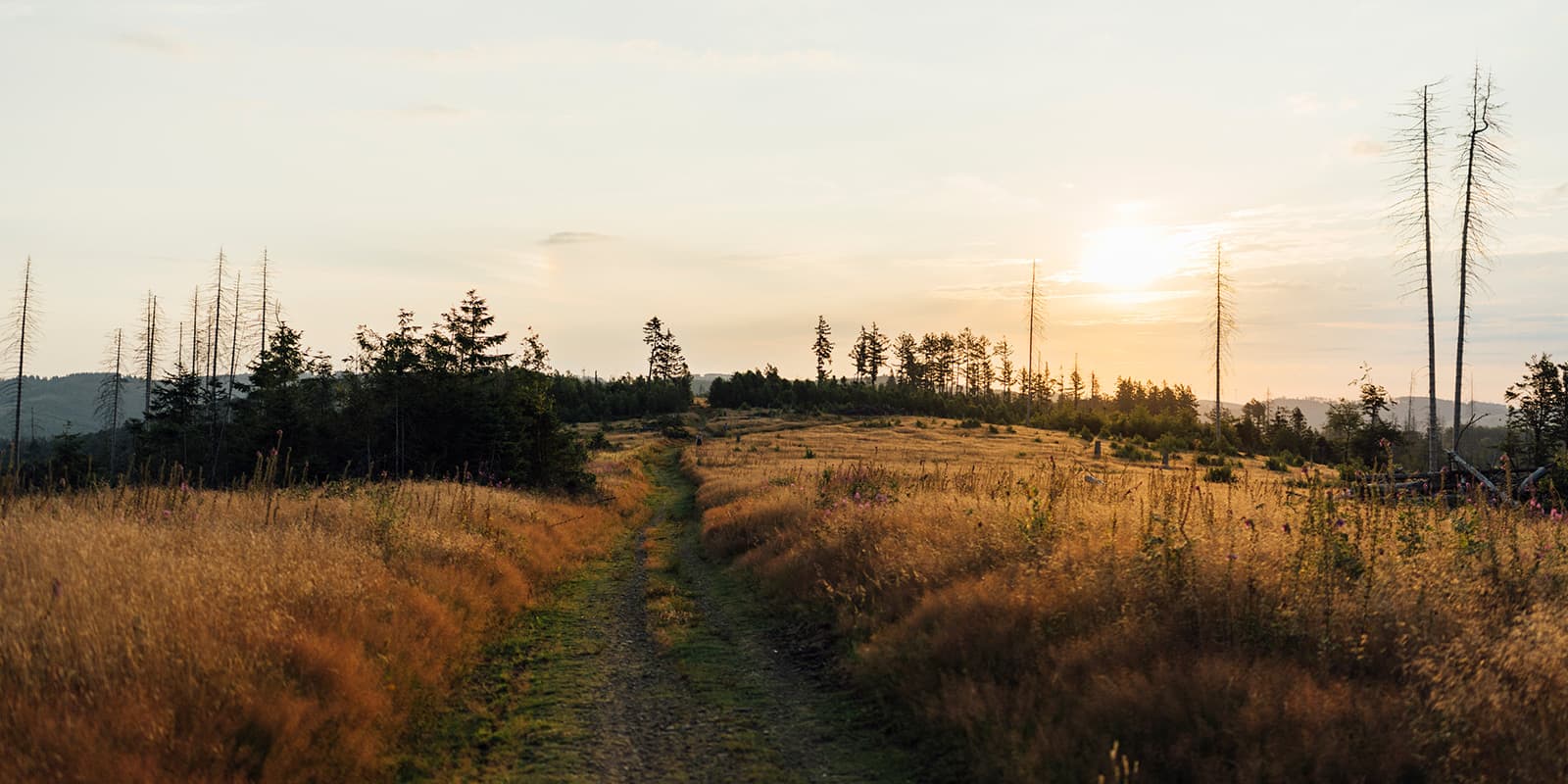
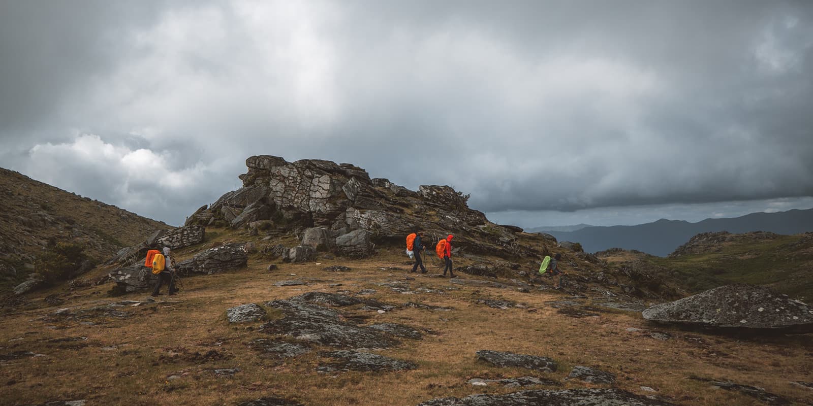
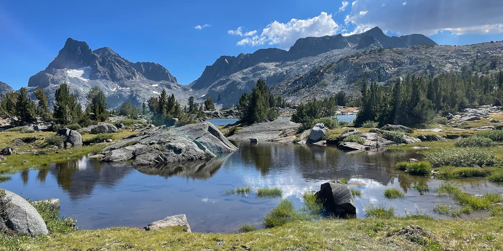
The Matterhorn Trek is a 48.7 kilometers (30.3 mi.) long-distance, loop hike, which starts and ends in the resort town of Zermatt. Five days of physical challenges far from civilization are rewarded by stunning views and a true alpine experience in one of the most spectacular mountain regions in the world.

The trail goes through Switzerland and Italy, which also gives you a cross-country trekking experience. You’ll have the chance to experience neighboring cultures and how they liken and differ in the mountains.

Merle profile picture

Merle Wünderling

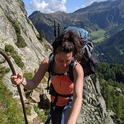
Merle is an outdoor enthusiast who’s passionate about hiking, rock climbing, mental health, and sustainability. Born in Germany but at home in the world, she’s hiked trails in New Zealand (Abel Tasman Coast Track, Kepler Track), Europe (Rota Vicentina/ Fishermen’s Trail, Tour du Mont Blanc, GR20 Corse, Kungsleden… ), and the Balkans (Peaks of the Balkans). Over the years she became a bit of a nerd, constantly improving her gear for upcoming hikes, such as GR11 Spain, Tour des Ecrins, Te Araroa, and the Transcaucasian Trail.

You can follow Merle on Instagram @merlewunderkind.

View profile

The Trail

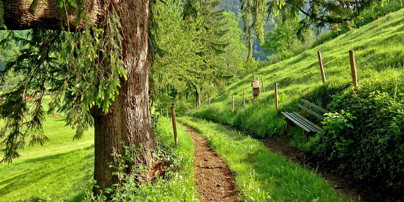
From Zermatt, the route follows the botanical nature trail uphill to Trift. While the Matterhorn is still nowhere to be seen, you can marvel at the also beautiful Monte Rosa massif.

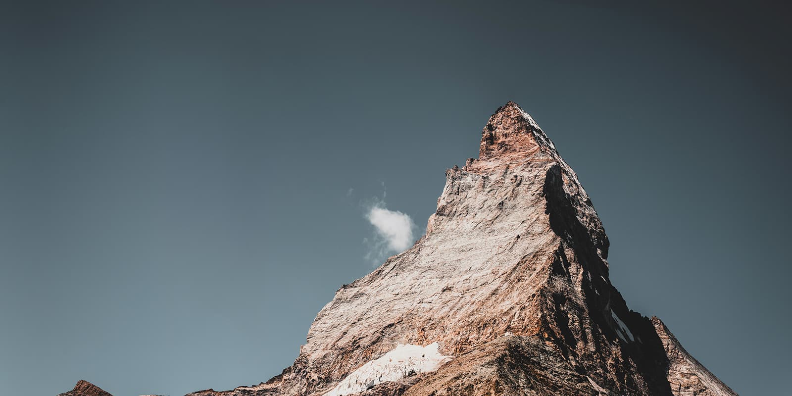
From the Trift Mountain Lodge, the next day’s hike takes you to the Schönbiel hut. On the way there, your first ascent will be rewarded with a view of the majestic north face of the Matterhorn. This is followed by a descent to Arben before heading up the lateral moraine of the Zmutt Glacier to the Schönbiel hut.

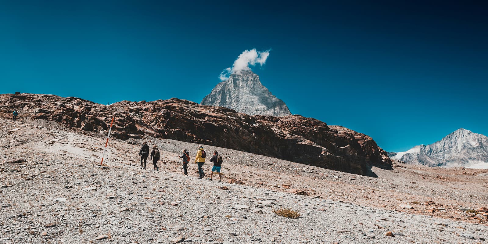
The next day takes you via Stafel, Schwarzsee, and Hirli to the Hörnli hut, from where you can enjoy the unique mountain panorama. This is the right trek for you if you love mountain views everywhere you look!

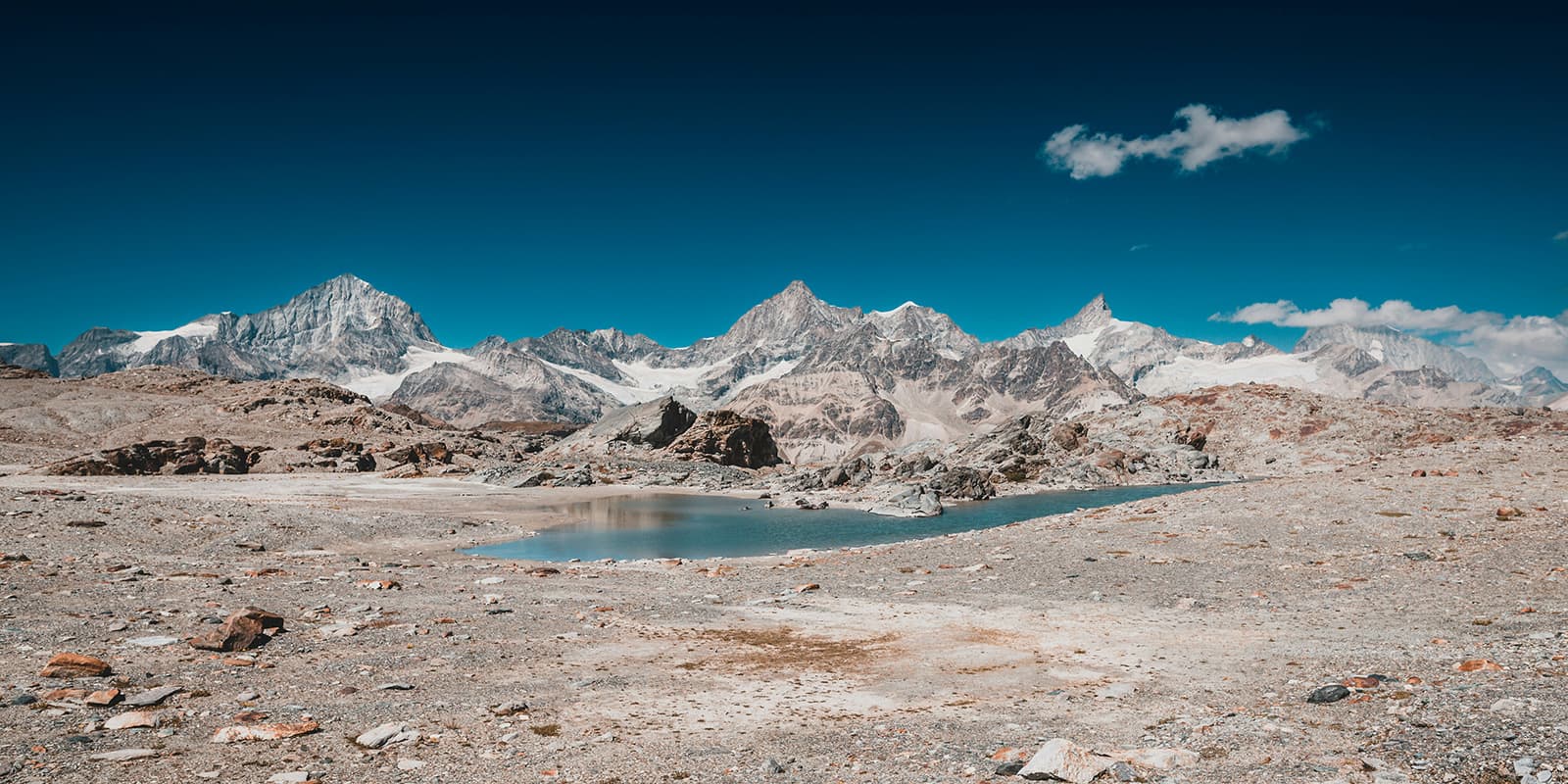
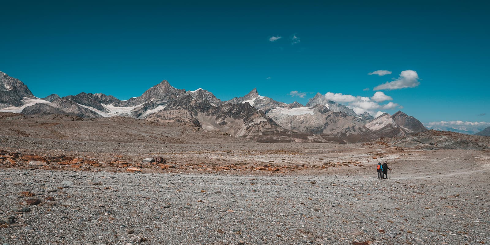
The fourth stage leads past the Theodul glacier lake and Trockener Steg to the Gandegg hut. From here, you have an outstanding view of the Breithorn, Klein Matterhorn, and the east face of the Matterhorn.

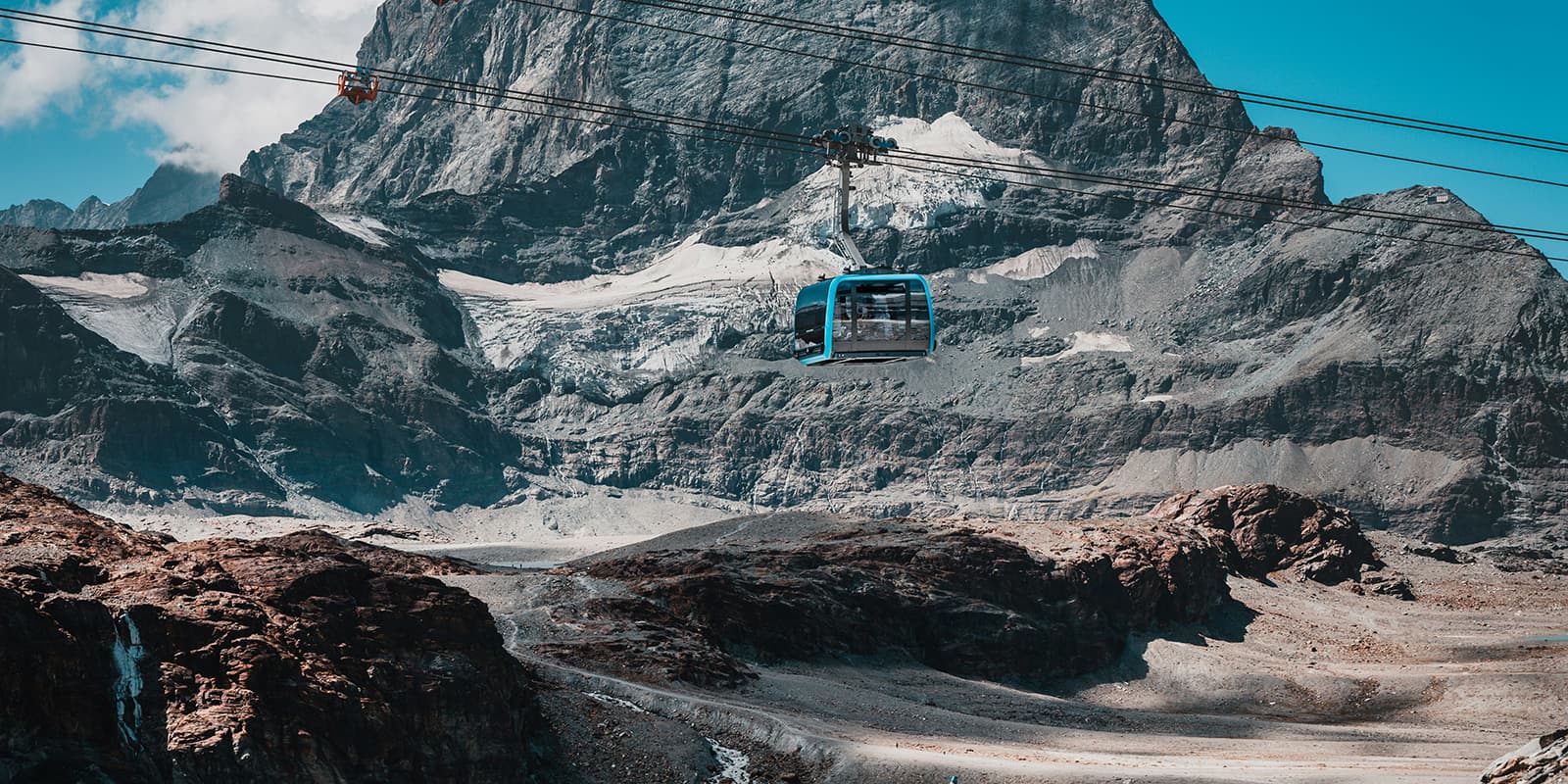
On the last day, the Säumerweg leads slowly back to civilization in Zermatt. From Trockener Steg, you have the option of taking the Matterhorn Express gondolas down into the valley. This can be a nice option if you want to take in the views without having to watch where you put your feet at the same time. Otherwise, the descent is a great way to ease back into civilization after days away.

Stages

The distances may vary depending on the actual route you choose.

5-stage itinerary

Stage 1:

Zermatt – Trift Mountain Lodge, 5.8 km | 3.6 mi

Stage 2:

Trift Mountain Lodge – Schönbiel Hut, 11.3 km | 7 mi

Stage 3:

Schönbiel Hut – Hörnli Hut Matterhorn, 13.2 km | 8.2 mi

Stage 4:

Hörnli Hut Matterhorn – Gandegg Hut, 9 km | 5.6 mi

Stage 5:

Gandegg Hut – Zermatt, 8.9 km | 5.5 mi

Accommodations

Along the Matterhorn Trek, you will find mountain huts and guesthouses that offer basic but comfortable accommodations. Make sure to book your accommodations in advance, especially during the peak summer months.

Mountain huts per stage

Stage 2:

Schönbiel Hut

Stage 4:

Gandegg Hut

Stage 5:

Zermatt (campsite, youth hostel, guesthouses, hotels)

Best time of the year

Hiking the Matterhorn Trek is from July until September, when there is no snow and accomodations are open. It’s a short window, so there will likely be a lot of other hikers in the huts (they almost always book up fully!). Be prepared to have friendly conversations and enjoy a fantastic meal with people at the end of each day.

Safety & Gear

Before the hike, gather information about the route (length, altitude, difficulty, current conditions) and assess your skills realistically. Matterhorn Trek is a challenging hike. It requires experience in alpine terrain, surefootedness, and proper equipment.

Invest in the right hiking gear, including comfortable, supportive footwear with good grip, proper hiking clothing, such as warm base layers and a hardshell rain jacket, hiking poles, a well-fitting backpack, and essential equipment like maps, GPS devices (or the GPX on your mobile), and a first-aid kit. Check out our comprehensive gear list for long-distance trails.

If you walk by yourself, share your plans with somebody else for your own safety.

For staying overnight in the mountain huts, bring a light sleeping bag, in addition to the provided blankets, and earplugs for a restful night.

The weather in the high mountains can change rapidly. Always check the trail conditions and local weather forecasts, be prepared for all conditions, including rain, sun, or snow and alter your itinerary if needed.

Stay properly hydrated and nourished. Check that you have enough water and snacks to maintain energy levels and prevent dehydration and exhaustion. Bring at least two liters of water with you. Especially in remote sections or near livestock grazing areas, it is recommended to use a water filter or purification tablets.

Respect the principles of Leave No Trace by minimizing your impact on the environment. Stick to designated trails, take all your trash with you, and show respect for wildlife and natural habitats (keep your distance, don’t feed them).

Take note of warning signs drawing attention to the constant danger in river beds and along watercourses below dams and reservoirs.

Difficulty

The Matterhorn Trek is a difficult hiking trail with high-altitude passes and rugged mountain terrain. Therefore, it requires a good level of fitness and experience in alpine conditions.

Good to know

You can fill up your water at the mountain huts and guesthouses between the stages. Make sure to take enough drinking water for the day and top up your water supply whenever possible. Especially in remote sections or near livestock grazing areas, it is recommended to use a water filter or purification tablets.

The Matterhorn Trek starts and ends in Zermatt, a car-free resort town located at the base of the Matterhorn. You can reach Zermatt from Switzerland. Trains are running from Zurich (3½ hours) and Geneva (4 hours). You can also reach Zermatt from Italy (Cervinia or Breuil-Cervinia).

Private vehicles have to stay in Täsch (5 km outside of Zermatt). From there you can take a taxi or shuttle train to town.

route
Circuit
highest point
3260m (10695 ft)

Want to submit a trail or make this page more complete?

Always read the disclaimer

Terms of Use: important to all visitors on this website. We strive to publish high quality content and information on this website. However it’s always possible that we’re missing out on some crucial information. In spite of the fact that this route, associated GPS track (GPX and maps) were prepared under diligent research by the specified contributor and/or contributors, the accuracy of such and judgement of the author is not guaranteed. Therefore, hiking-trails.com and contributors are in no way liable for personal injury, damage to personal property, or any other such situation that might happen to individuals hiking or following this route. Should you choose to hike this trail, this is always at your own risk. Check out our guidelines for safety hiking and Leave No Trace principles at the hiking 101 page.

Download GPX

Join the community!

Login or create a FREE account 😊

With an account you can:

Download GPX files

Pin trails to your wishlist

Mark trails as hiked by you

Rate hiking trails

Comment on trails, blogs and gear reviews

Happy trails!
Login

Don't have an account yet? Register here