sunset at Ecrins National park

GR54 Grand Tour des Écrins

Tour de l'Oisans

About the GR54 Grand Tour des Écrins

Alps
country
France
length
186 km(116 mi)
Type of trail
Long-distance
difficulty

Difficulty is highly personal. Be aware of the weather conditions as bad weather turns easier trails in difficult trails especially in the mountains.

Strenuous
accommodation

Lodging means a mix of hotels, hostels or AirBnB’s.

Mountain huts, Camping, Lodging, Wild camping
Elevation gain
12800 m(41995 ft)
terrain
Mountains
remoteness
Most of the time
Show more

The GR54 Grand Tour des Écrins, also known as Tour de l’Oisans, is a long-distance hiking trail through the French Alps. In a circuit of around 186 kilometers (115.6 mi), it leads through the Ecrins National Park and across 14 mountain passes of the Ecrins massif. This trail is best known for its stunning nature and options to wild camp or stay in mountain huts the entire way.

This is one of the most challenging hiking trails in France, which will stun you with a mix of alpine panoramas, glaciers, valleys, and traditional mountain villages. The trail is best for people with previous mountain hiking experience who are comfortable at high altitudes and in difficult terrain. Officially, the trail is broken into 14 stages and can be hiked in either direction as a loop trail. There are also options to add on even more difficult sections if you choose, so this trail can be customized to your desires.

Merle profile picture

Merle Wünderling

Merle is an outdoor enthusiast who’s passionate about hiking, rock climbing, mental health, and sustainability. Born in Germany but at home in the world, she’s hiked trails in New Zealand (Abel Tasman Coast Track, Kepler Track), Europe (Rota Vicentina/ Fishermen’s Trail, Tour du Mont Blanc, GR20 Corse, Kungsleden… ), and the Balkans (Peaks of the Balkans). Over the years she became a bit of a nerd, constantly improving her gear for upcoming hikes, such as GR11 Spain, Tour des Ecrins, Te Araroa, and the Transcaucasian Trail.

You can follow Merle on Instagram @merlewunderkind.

View profile

The Trail

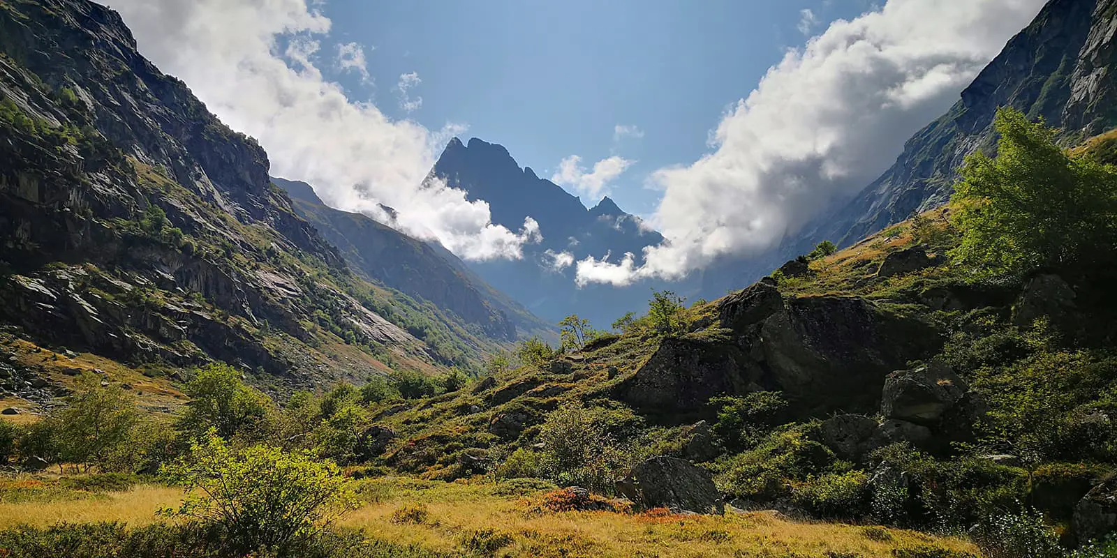
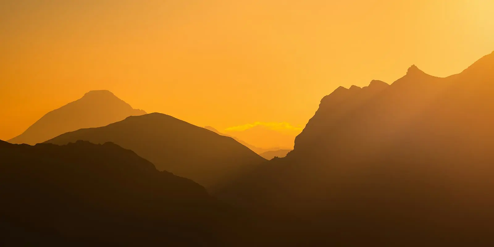
From La Grave, the trail starts with a moderate climb through alpine meadows and forests toward the Refuge de l’Alpe du Villar d’Arène. This stage has fantastic views of La Meije and its glaciers. The next day, you will hike to the Col d’Arsine, where the high peaks will likely lure you into a visit to the glacial Lac d’Arsine before you start on a long descent. You’ll go down, following the mountain stream Le Petit Tabuc, to the valley of La Guisane and Monêtier-les-Bains.

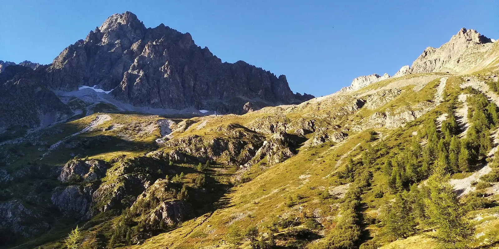
Stage three, from Monêtier-les-Bains to Vallouise, involves a scenic climb up Col des Grangettes and a descent into the valley. Here, you’ll experience a mix of rugged mountains, alpine meadows, and classic French alpine villages. C’est la vie belle! On the way from la Vallouise to the Refuge Pré de la Chaumette, you are going to cross the highest pass on the route – Col de l’Aup Martin. The good news is that you’ll have had a few days to warm up your muscles before this. The tough news is that it doesn’t get easier! From there, the next stage, from Refuge du Pré de la Chaumette to Refuge Vallonpierre, takes you across three mountain passes to Lake Vallonpierre.

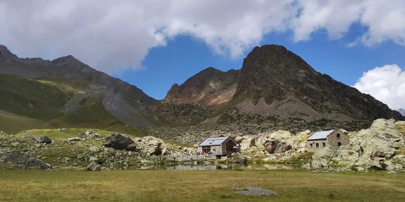
From Refuge Vallonpierre to La Chapelle-en-Valgaudémar, the landscapes switch from alpine highlands to green valleys. The long descent is challenging but rewarding, with a valley including multiple waterfalls as well as the village of La Chapelle-en-Valgaudémar, which is the perfect place to relax after a hard day of hiking.

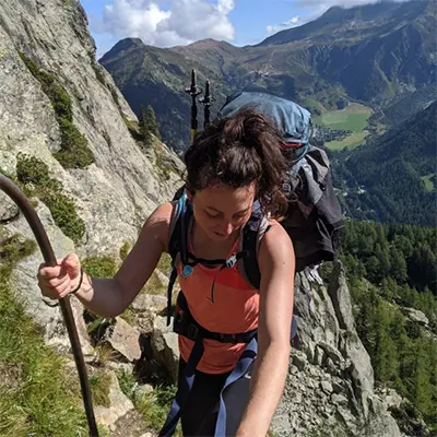
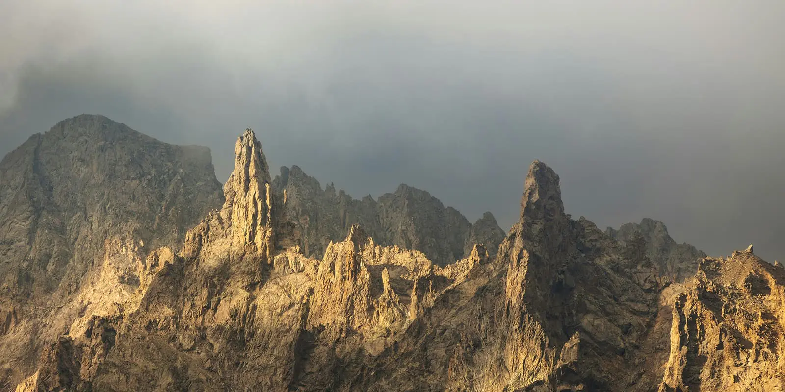
After la Chapelle en Valgaudemar, there’s also an option for experienced hikers looking for a challenge to leave the main path to take a rocky variant of the GR 54. Their effort will be rewarded with spectacular views over the Valgaudemar Valley and the southern faces of Mount Olan. But it is important that you assess the weather before you do this!

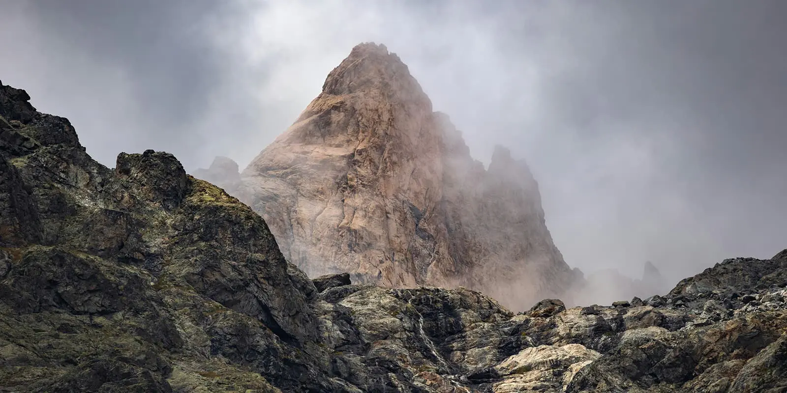
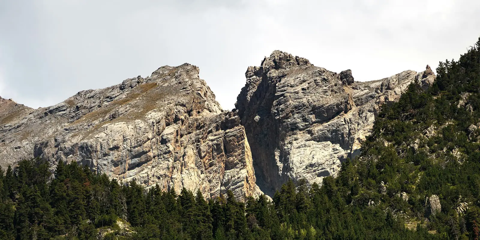
Due to the steep ascents and descents, the next day is also physically demanding. The effort is worth the breathtaking landscapes, with glaciers, rugged peaks, and picturesque valleys.

The stage from Refuge des Souffles to Col de Vaurze includes the high alpine terrain of Col de Vaurze as well as the peaceful beauty of the Désert de Valjouffre. It is one of the more remote stages of the Tour des Ecrins. Between Valjouffrey and Valsenestre, there is a significant amount of ascent and descent, through meadows, forests, and rugged high-altitude terrain. Col de Côte Belle will give you a glimpse of the next day’s stage, the Col de la Muzelle. From Valsenestre, you will set off for the last big climb of the tour up the vertical Col de la Muzelle and Lake Muzelle.

The next day a long descent guides you slowly back to civilization. This second variant will give you closer encounters with the mountain economy and its heritage as it leads you to the village of Mizoen. From Mizeon, the path then takes you through the Romanche Valley, into the Vénéon Valley before it rises in altitude til the Lac du Chambon and its dam. This stage ends at the refuges of Les Mouterres and Le Fay at the foot of the Emparis plateau.

The last stage takes you back to the mountain village of La Grave, which is famous for mountaineering and skiing. The route includes some steep sections but also a relatively easier final descent into La Grave. It offers some final stunning views of the glaciers, peaks, and meadows of your earlier days.

Stages

On the official website, the Grand Tour des Écrins is divided into 14 stages, which start and end in La Grave. Due to being a circuit trail, alternative starting points are Bourg d’Oisans, l’Argentière-la-Bessée or  La Chapelle-en-Valgaudemar. While most people typically go clockwise, the trail can be completed in either direction (clockwise or counterclockwise),

The number of days and stages can vary, depending on the route/ detours/ rest days you choose. That offers you the possibility to adapt the trail to your itinerary.

Suggested Itinerary of the Tour des Écrins from La Grave (Clockwise)

Stage 1:

La Grave – Refuge de l’Alpe du Villar d’Arène, 14 km | 8.7 mi

Stage 2:

Refuge de l’Alpe du Villar d’Arène – Monêtier-les-Bains, 14 km | 8.7 mi

Stage 3:

Monetier les bains – Col des Grangettes – Vallouise, 24 km | 14.9 mi

Stage 4:

Vallouise – Col de l’Aup Martin – Refuge Pré de la Chaumette, 24.3 km | 15 mi

Stage 5:

Refuge du Pré de la Chaumette – Refuge Vallonpierre, 10.9 km | 6.7 mi

Stage 6:

Refuge Vallonpierre – La Chapelle-en-Valgaudémar, 13.9 km | 8.6 mi

Stage 7:

La Chapelle-en-Valgaudémar – Refuge de l’Olan, 6.5 km | 4 mi

Stage 8:

Refuge de l’Olan – Refuge Souffles, 8.9 km | 5.5 mi

Stage 9:

Refuge Souffles – Col de Vaurze – Desert de Valjouffrey, 11 km | 6.8 mi

Stage 10:

Desert de Valjouffrey – Col de Cote Belle – Valsenestre, 11.5 km | 7.1 mi

Stage 11:

Valsenestre – Col de la Muzelle – Refuge de la Muzelle, 9 km | 5.6 mi 

Stage 12:

Refuge de la Muzelle – Mizoen, 22.2 km | 13.8 mi

Stage 13:

Mizoen – Refuges des Mouterres, 8.7 km | 5.4 mi

Stage 14:

Refuges des Mouterres – La Grave, 12.2 km | 7.6 mi

Accommodations

During Tour des Ecrins, you can stay in remote mountain huts/ refuges or your own tent. You are permitted to bivouac/ wild camping from sunset to sunrise (see regulations for the National Park). You may also ask to have dinner and set up close to the refuges.

When you come past villages, you can stay at campsites or treat yourself to a night in a hotel. During peak hiking season (July and August), especially during the French holidays (4 weeks around mid-July), you need to book your accommodations far in advance.

Accommodations per stage

Stage 2:

Monêtier-les-Bains – several types of accomodation

Stage 3:

Vallouise – Refuge des Bans

Stage 6:

La Chapelle-en-Valgaudémar – Refuge du Gioberney or Camping les Bouleaux

Stage 9:

Desert de Valjouffrey – Gîte Les Arias

Stage 10:

Valsenestre

Stage 12:

Mizoen – several types of accommodation

Stage 14:

La Grave – Camping Le Gravelotte

Best time of the year

The best time to hike the Grand Tour des Écrins is in summer/ between the end of June and mid-September when the mountain passes are clear of snow and the refuges are open. If you manage to have flexibility in your schedule, then it is best to try to avoid July, as this is one of the busiest times on the trail, as the French have their annual holidays.

Safety & Gear

Tour des Écrins is a challenging hike that requires experience in alpine terrain, surefootedness, and proper equipment. To prepare, invest in the right hiking gear, including comfortable, supportive footwear with a good grip, good hiking clothing, such as warm base layers and a hardshell rain jacket, hiking poles, a well-fitted backpack, and essential equipment like maps, GPS devices (or the GPX on your mobile), and a first-aid kit. If you’re not sure what to pack, you can check out our comprehensive gear list for long-distance trails.

If you decide to go lightweight and stay in the refuges, you will still need to bring a light sleeping bag, in addition to the provided blankets, a headlamp, and earplugs for a restful night.

The weather in the high mountains can change rapidly. Always check the trail conditions and local weather forecasts, be prepared for all conditions, including rain, sun, or snow, and alter your itinerary if needed. If you’re not sure about the conditions, ask a hut warden. They are likely to have the best recommendations and know the area well.

Stay properly hydrated and nourished. Check you have enough water and snacks to maintain energy levels and prevent dehydration and exhaustion. Bring at least two liters of water with you. Especially in remote sections or near livestock grazing areas, it is recommended to use a water filter or purification tablets.

Respect the principles of Leave No Trace by minimizing your impact on the environment. Stick to designated trails, take all your trash with you, and show respect for wildlife and natural habitats.

Difficulty

Tour des Erins is a difficult hiking trail with high-altitude passes and rugged mountain terrain. Therefore, it requires a good level of fitness and experience in alpine conditions. If you are uncomfortable with being in alpine conditions for so long, you can check out other hiking in France for something that is comparable.

Good to know

As the Écrins Massif is home to glaciers, rivers, and alpine streams, there are numerous natural water sources along the trail. Especially in remote sections or near livestock grazing areas, it is recommended to use a water filter or purification tablets. Make sure to take enough drinking water with you and top up your water supply whenever possible.

From Grenoble, you can reach the start in La Grave or Bourg d’Oisans by utilizing the daily busses. These are also places where you can re-stock your snacks!

Unfortunately, dogs must stay at home as they are not allowed in Ecrins National Park.

route
Circuit
Highest point
3.175m (10.416 ft)

Guidebooks

tour de ecrins guidebook

Tour de Ecrins guidebook

View guidebook

Want to submit a trail or make this page more complete?

Always read the disclaimer

Terms of Use: important to all visitors on this website. We strive to publish high quality content and information on this website. However it’s always possible that we’re missing out on some crucial information. In spite of the fact that this route, associated GPS track (GPX and maps) were prepared under diligent research by the specified contributor and/or contributors, the accuracy of such and judgement of the author is not guaranteed. Therefore, hiking-trails.com and contributors are in no way liable for personal injury, damage to personal property, or any other such situation that might happen to individuals hiking or following this route. Should you choose to hike this trail, this is always at your own risk. Check out our guidelines for safety hiking and Leave No Trace principles at the hiking 101 page.

Download GPX

Join the community!

Login or create a FREE account 😊

With an account you can:

Download GPX files

Pin trails to your wishlist

Mark trails as hiked by you

Rate hiking trails

Comment on trails, blogs and gear reviews

Happy trails!
Login

Don't have an account yet? Register here