About the The Shinetsu Trail

country
Japan
length
110 km(68 mi)
Type of trail
Long-distance
difficulty

Difficulty is highly personal. Be aware of the weather conditions as bad weather turns easier trails in difficult trails especially in the mountains.

Moderate
accommodation

Lodging means a mix of hotels, hostels or AirBnB’s.

Camping, Lodging, Wild camping
Elevation gain
3800 m(12467 ft)
terrain
Mountains, Forest, Hills
remoteness
Most of the time
Show more

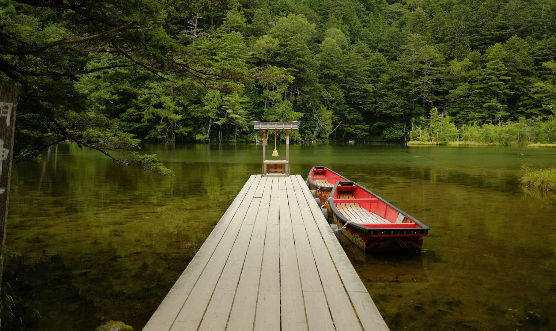
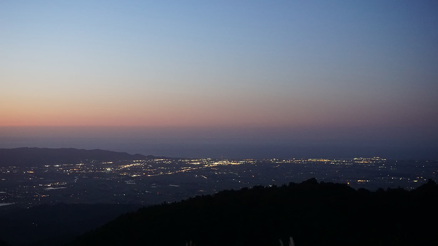
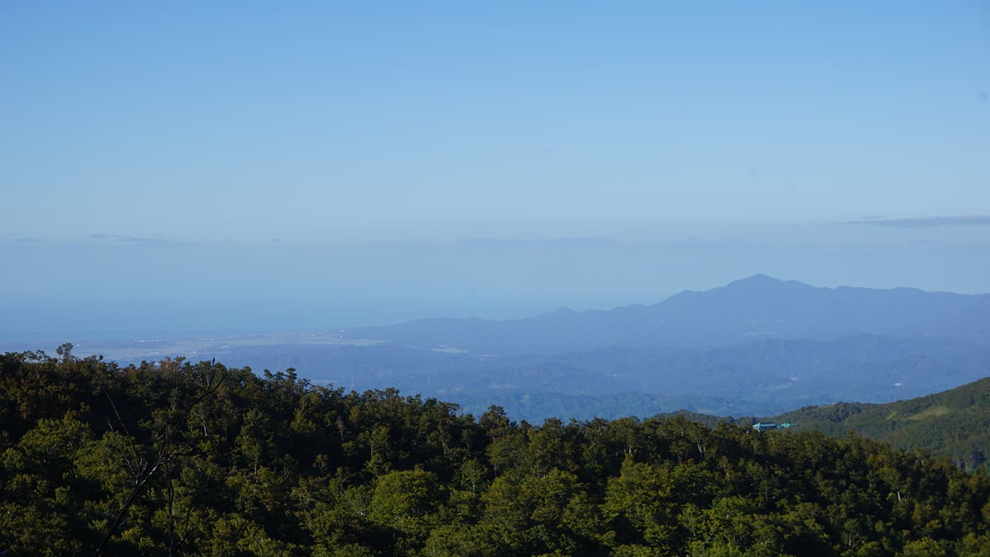
As one of Japan’s lesser-known long-distance hiking trails, the Shinetsu Trail is a unique treat for hikers looking to get away from the country’s more touristic areas. It follows the ridge of the Sekida and Mt. Naeba mountain ranges on the border of the Nagano and Niigata prefectures. And thanks to its continuous elevation of around 1000 meters, the Shinetsu Trail offers up excellent views of the surrounding area and the Sea of Japan beyond.

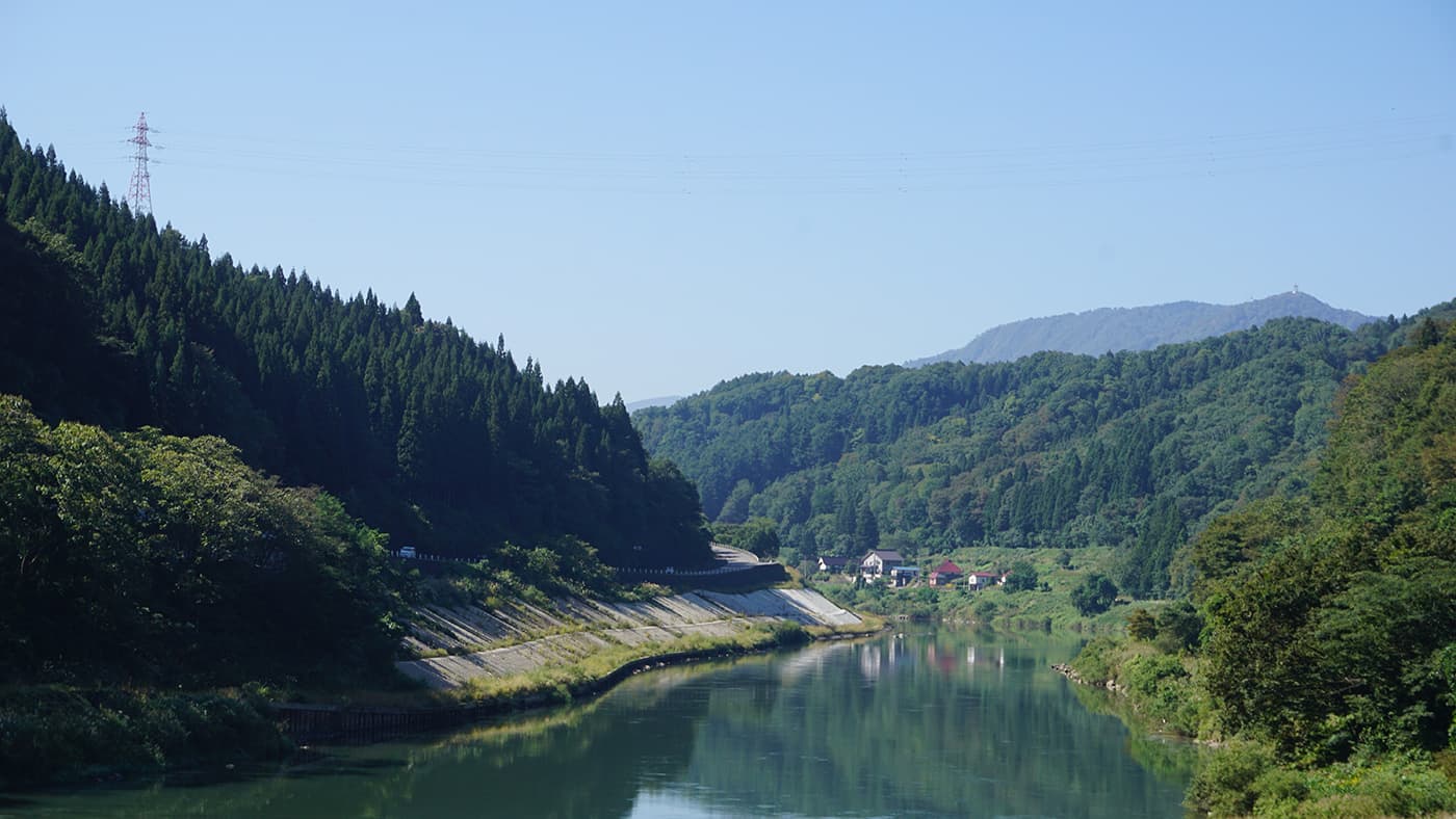
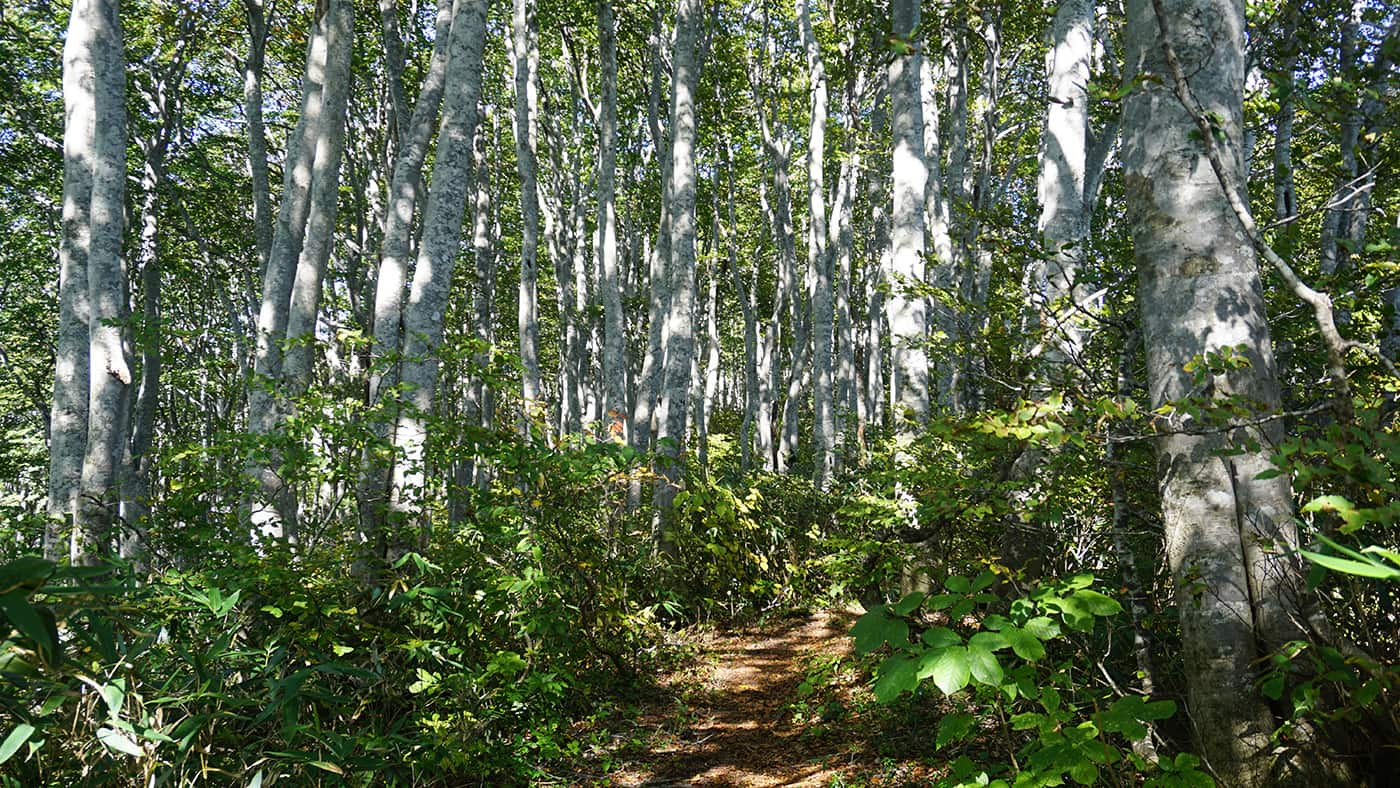
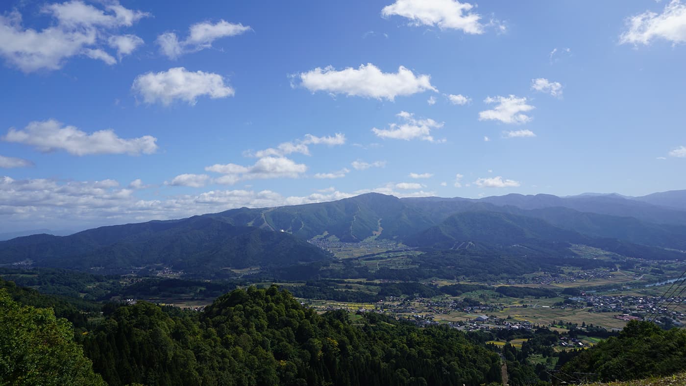
The trail mostly follows the ridgeline between several peaks along the Sekida mountain range, after which it turns south to climb up for an unforgettable finale on top of Mt. Naeba. The natural beauty is typical for the Nagano and Niigata prefectures; forested mountain sides covered in dense foliage, the occasional mountain lake or beechwood forest, deep river valleys dotted with small villages, and excellent public transport connections between it all.

man standing in green landscape

Roel Zerner

Blessed with the blissful curse of wanderlust, Roel has built his life around adventurous travel since 2018. He can either be found roaming remote wilderness or on the outskirts of mass tourism, hunting for unique experiences among worn-out tourist trails. Over the years, his ambition to become a full-time travel writer has led him to explore trails and adventurous destinations all over the world. You can follow his adventures on Instagram @beatthetrail or via his website.

View profile

The Trail

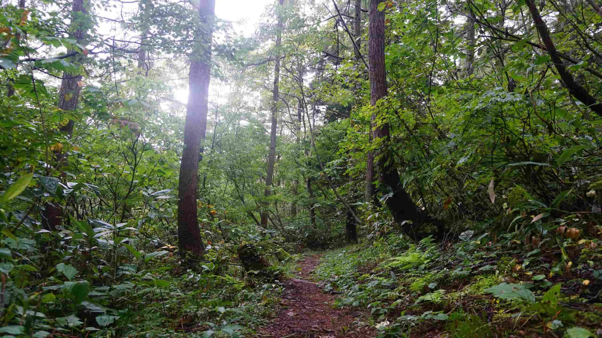
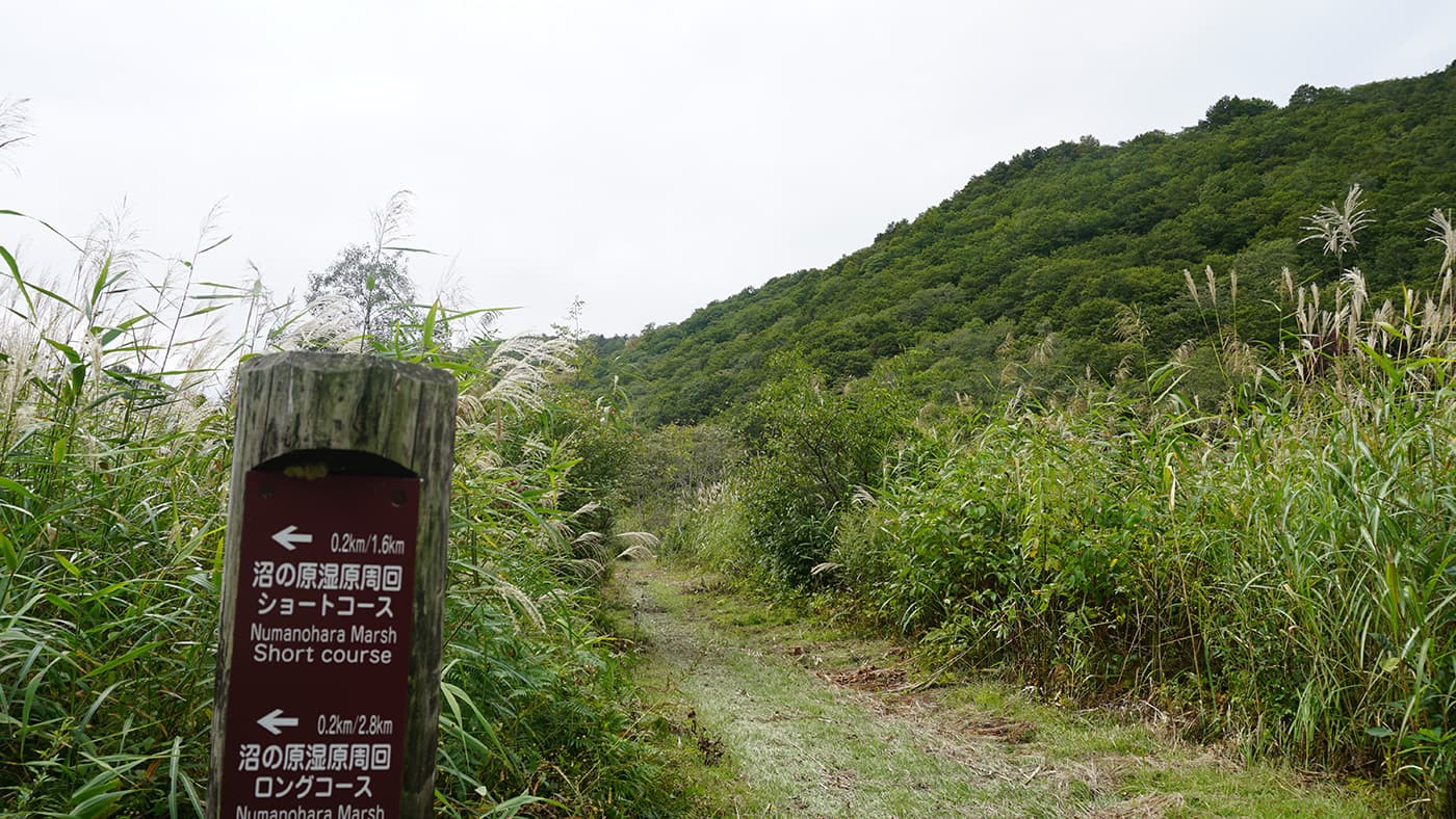
The Shinetsu Trail starts on top of Mt. Madarao, easily reached from the nearby ski resort of Madarao Kogen. It then leads along mountain paths covered in dense forest towards the marshy wetlands of Hakama Shitsugen. Shortly after, you will reach the first campsite near Aka Ike Pond.Most of the Shinetsu Trail follows much the same pattern; dense forest trails leading along the occasional pond or mountain pass, broken up with pleasant ridge walks that will let you see as far as the Sea of Japan on clear days. The trail itself is mostly well-maintained, but you should be prepared to face slippery, muddy conditions in rainy weather.

The final sections of the trail lead down into the valley to cross the Chikuma River before passing several charming countryside villages. After a relatively flat section, the trail finishes up its final sections by steadily climbing up again on green slopes towards the trail’s end on Mt. Naeba.

Take care to prepare for the hot, humid Japanese summers by bringing enough water and making sure to properly refill at every opportunity. Luckily, there are plenty of water taps along the trail to do just that. Don’t forget to bring rehydration salt or similar supplements!

That being said, the Shinetsu Trail is easily one of the most scenic trails Japan has to offer. It might not be as famous as the Shikoku Pilgrimage Trail, but it makes up for this with its pristine views, magical beech forest sections, and relatively easy, quiet trails. Besides, it’s an excellent way to discover a magnificent part of the Japanese countryside that few Western tourists visit outside of the skiing season.

Stages

The Shinetsu Trail is divided into 10 official stages starting at Mt. Madarao all the way to Mt. Naeba.

Stages for a 10 day itinerary

Stage 1:

Mt. Madarao – Aka Ike Pond, 8.5 km | 5.2 mi

Stage 2:

Aka Ike Pond – Wakui, 11.2 km | 7 mi

Stage 3:

Wakui – Hotoke ga Mine Tozanguchi, 12.6 km | 7.8 mi

Stage 4:

Hotoke ga Mine Tozanguchi – Sekida Toge Pass, 8.2 km | 5.1 mi

Stage 5:

Sekida Toge Pass – Busuno Toge Pass, 12.4 km | 7.7 mi

Stage 6:

Busuno Toge Pass – Mt. Amamizu, 12.8 km | 8 mi

Stage 7:

Mt. Amamizu – JR Mori-Miyanohara Station, Sakae, 7.2 km | 4.5 mi

Stage 8:

JR Mori-Miyanohara Station, Sakae – Ketto, 17.2 km | 10.7 mi

Stage 9:

Ketto – Koakasawa, 9.7 km | 6 mi

Stage 10:

Koakasawa – Mt. Naeba, 8.5 km | 5.3 mi

Accommodations

If you’re attempting a thru-hike of the Shinetsu Trail, your best option is to use the campsites along the way. Wild camping in Japan is not illegal, so you can put up your tent where you please. However, due to dense vegetation in most places, it is highly recommended to bring a hammock tent (with mosquito netting).

If you have a ground tent, your best option is to use the official campsites along the trail. Some of these campsites are not directly on the trail and require a detour to reach them. Keep in mind that reservations might be necessary at some campsites, especially in the busy months.

The official trail section page shows the campsites along the trail’s itinerary, and this page shows an overview map with rough locations of the campsites.

If you’re not planning on camping, or if you’re looking for a bit more comfort, it is possible to stay at the many hotels, ryokan inns, and guesthouses in the area. The Shinetsu Trail website has a page dedicated to their member inns, these hosts are well-informed about the Shinetsu Trail and can also arrange transport to and from each section’s trailhead.

Best time of the year

The Shinetsu Trail is best walked from late June to early November. The region is known for some of the heaviest snowfall in the world, which makes for excellent skiing conditions but makes all but short-section hikes impossible during winter and spring. In fact, the winter conditions along the Shinetsu Trail are dangerous enough that local authorities strongly advise against attempting a hike outside of the summer hiking season.

When hiking in the hot, humid Japanese summer, your main concern is your water supply. The official trail map and the section overview page linked below show the refill points along the trail. To avoid the hottest months, it’s best to hike in late September.

Safety & Gear

As you plan your hike, conduct thorough research on the trail. This includes assessing factors such as trail difficulty, length, elevation gain, and terrain and putting them into the context of your abilities.

Share your itinerary with your family or friends, with your anticipated start and end times, chosen route, and emergency information.

Stay informed about the weather conditions in the area where you intend to hike. You can find this info on weather radar apps or by talking with locals. Avoid hitting the trail during severe weather conditions, including thunderstorms, heavy rainfall, or extreme heat, as these can pose significant risks to your safety.

Staying properly hydrated and nourished is essential. Ensure you have an ample supply of water and energy-rich snacks to maintain your energy levels and prevent dehydration and exhaustion. Bring at least two liters of water with you.

Familiarize yourself with the trail map and carry navigation tools such as a compass or GPX device to stay oriented.

Invest in the right hiking gear, including comfortable, supportive footwear, proper hiking clothing, such as warm base layers and a hardshell rain jacket, hiking poles, a well-fitted backpack, and essential equipment like maps, GPX devices (when needed), and a first-aid kit. Check out our comprehensive gear list for long-distance trails like this.

Respect the principles of Leave No Trace by minimizing your impact on the environment. Stick to designated trails, pack out all trash, and respect wildlife and their natural habitats.

Good to know

The fastest way to reach the area is to take the high-speed Shinkansen trains from Tokyo to Iiyama, and from there take local buses or a taxi to Madarao Kogen. A cheaper alternative is to choose slower local trains or long-distance bus services. You’ll find enough water resources at regular intervals along the trail, although some might dry up during summer.

The Shinetsu Trail opened in 2008 and was extended in 2021 to cover the final four sections to the top of Mt. Naeba. Some older information might mention six sections at a total length of 80 kilometers, but the full length of the Shinetsu Trail in its current form consists of ten sections with a total of 110 kilometers.

Route
Point to point
Highest point
2600m (8530 ft)

Guidebooks

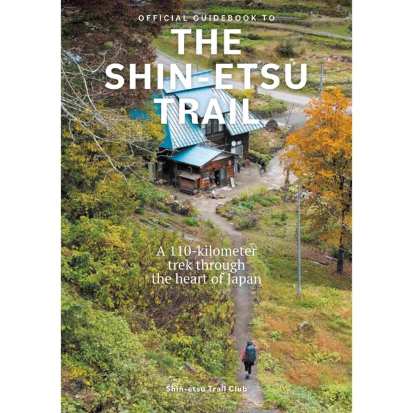
cover guidebook

The Shinetsu Trail

View guidebook

Want to submit a trail or make this page more complete?

Always read the disclaimer

Terms of Use: important to all visitors on this website. We strive to publish high quality content and information on this website. However it’s always possible that we’re missing out on some crucial information. In spite of the fact that this route, associated GPS track (GPX and maps) were prepared under diligent research by the specified contributor and/or contributors, the accuracy of such and judgement of the author is not guaranteed. Therefore, hiking-trails.com and contributors are in no way liable for personal injury, damage to personal property, or any other such situation that might happen to individuals hiking or following this route. Should you choose to hike this trail, this is always at your own risk. Check out our guidelines for safety hiking and Leave No Trace principles at the hiking 101 page.

Download GPX

Join the community!

Login or create a FREE account 😊

With an account you can:

Download GPX files

Pin trails to your wishlist

Mark trails as hiked by you

Rate hiking trails

Comment on trails, blogs and gear reviews

Happy trails!
Login

Don't have an account yet? Register here